Badger Wood
Wood, Forest in Gloucestershire Tewkesbury
England
Badger Wood

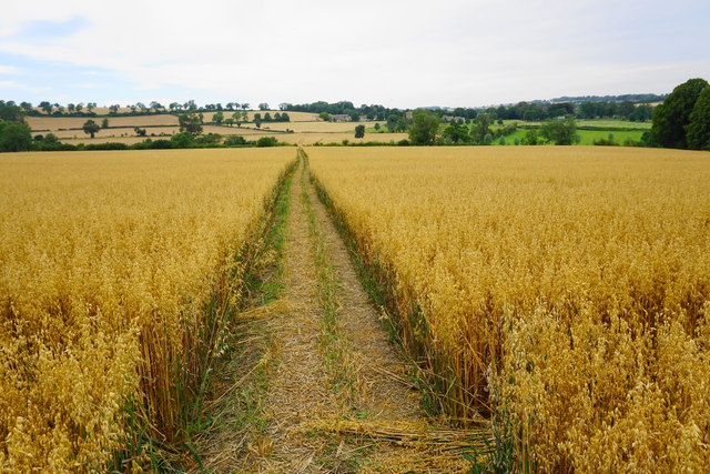
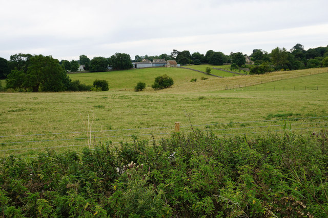
Badger Wood is a picturesque forest located in the county of Gloucestershire, England. Situated in the heart of the Cotswolds Area of Outstanding Natural Beauty, this woodland is known for its rich biodiversity and stunning landscapes. Covering an area of approximately 100 acres, Badger Wood is a popular destination for nature enthusiasts, hikers, and wildlife lovers alike.
The forest is predominantly composed of deciduous trees, including oak, beech, and ash, which create a vibrant and ever-changing color palette throughout the seasons. The dense canopy provides a sheltered environment for a diverse range of flora and fauna, making it a haven for wildlife. Visitors can expect to encounter a variety of woodland creatures, such as badgers, deer, foxes, and a plethora of bird species.
Tranquil walking trails wind their way through the forest, offering visitors the chance to immerse themselves in the natural beauty of the surroundings. The forest floor is carpeted with an array of wildflowers and ferns, adding to the enchanting atmosphere of the wood.
Badger Wood is managed by the local conservation authority, ensuring the preservation of its natural heritage. The forest is open to the public year-round, with designated parking areas and well-maintained paths. Interpretative signs provide information about the flora, fauna, and history of the wood, enriching the visitor experience.
Whether it is a leisurely stroll, bird-watching, or a peaceful picnic amidst nature, Badger Wood offers a serene and idyllic setting for individuals seeking respite from the hustle and bustle of everyday life. With its breathtaking scenery and thriving ecosystem, this woodland is a true gem of Gloucestershire.
If you have any feedback on the listing, please let us know in the comments section below.
Badger Wood Images
Images are sourced within 2km of 51.908572/-1.8811029 or Grid Reference SP0823. Thanks to Geograph Open Source API. All images are credited.


Badger Wood is located at Grid Ref: SP0823 (Lat: 51.908572, Lng: -1.8811029)
Administrative County: Gloucestershire
District: Tewkesbury
Police Authority: Gloucestershire
What 3 Words
///download.meatball.survey. Near Westfield, Gloucestershire
Nearby Locations
Related Wikis

Guiting Power
Guiting Power is a village and civil parish in the Cotswolds, in Gloucestershire, England. The population of the parish at the 2011 census was 296.Guiting...

Hawling
Hawling is a small village and civil parish in the Cotswolds of England, close to Bourton-on-the-Water and Guiting Power. The Church, the Elizabethan manor...

St Michael's and All Angels Church, Guiting Power
St Michael's and All Angels Church is in the village of Guiting Power, Gloucestershire, England. It is an active Anglican parish church in the deanery...
Hawling Manor, Gloucestershire
Hawling Manor in Hawling, Gloucestershire is a Grade II listed building. == History == Information from Country Life states that the manor "was held in...

Notgrove railway station
Notgrove railway station was a Gloucestershire station on the Great Western Railway's Banbury and Cheltenham Direct Railway. == History == The station...

Barton, Gloucestershire
Barton is a village in Gloucestershire, on the Windrush River, near Naunton. It appears in written records as Berton as early as 1287. == References... ==
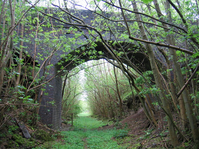
Notgrove Railway Cutting
Notgrove Railway Cutting (grid reference SP086209) is a 1.7-hectare (4.2-acre) geological Site of Special Scientific Interest in Gloucestershire, notified...

Notgrove Long Barrow
Notgrove Long Barrow is a prehistoric long barrow burial mound in Gloucestershire, England. It consists of a large mound with a passage running through...
Nearby Amenities
Located within 500m of 51.908572,-1.8811029Have you been to Badger Wood?
Leave your review of Badger Wood below (or comments, questions and feedback).