Blackthorn Wood
Wood, Forest in Durham
England
Blackthorn Wood
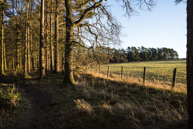
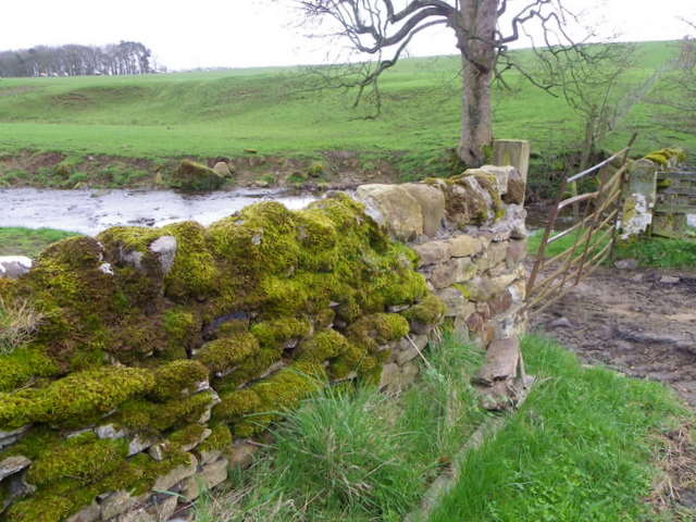
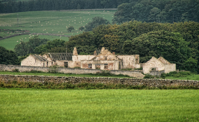
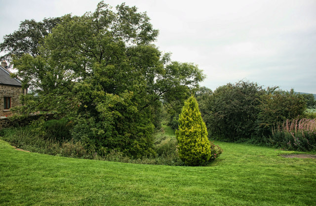
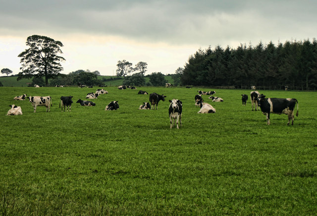
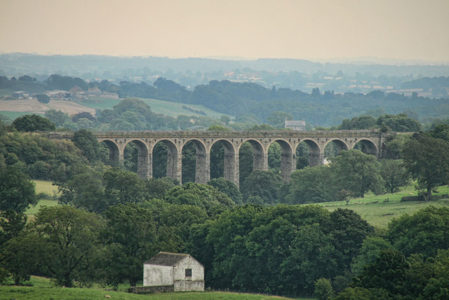
Blackthorn Wood is a charming forest located in Durham, England. With an area of approximately 100 acres, it is a haven for nature enthusiasts and a popular destination for locals and tourists alike.
The woodland is primarily composed of blackthorn trees, which give it its name. These trees are known for their beautiful white blossoms in spring, followed by the formation of small, dark fruits in autumn. The forest floor is covered in a lush carpet of moss, ferns, and wildflowers, creating a picturesque scene throughout the year.
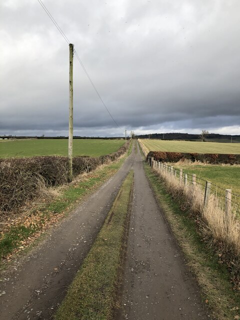
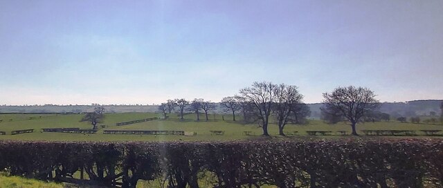
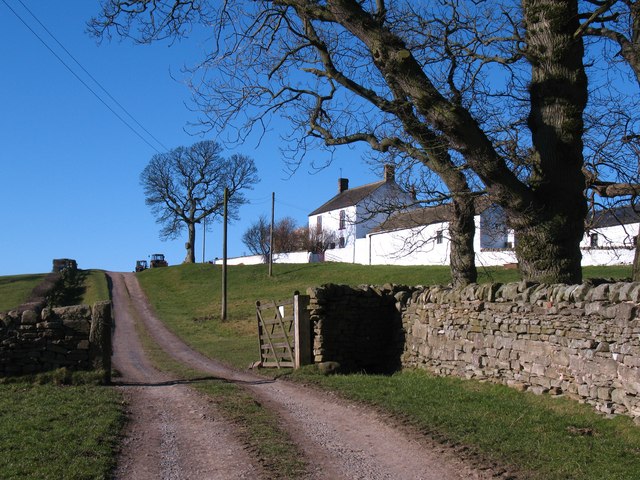
Visitors to Blackthorn Wood can explore its many winding trails, which lead to hidden clearings and serene meadows. The diversity of flora and fauna in this woodland is impressive, with a wide range of bird species, including woodpeckers and songbirds, making it a birdwatcher's paradise. Small mammals like rabbits, squirrels, and hedgehogs also call this forest home.
The wood is managed by the local council, ensuring its preservation and maintenance. Facilities such as picnic areas and benches are available for visitors to relax and enjoy the peaceful surroundings. There are also educational programs and guided walks organized from time to time to inform visitors about the forest's biodiversity and ecological importance.
Blackthorn Wood is a tranquil retreat from the bustling city, offering a sanctuary to reconnect with nature. Its natural beauty and varied wildlife make it a must-visit destination for anyone seeking a peaceful escape or an opportunity to immerse themselves in the wonders of the British countryside.
If you have any feedback on the listing, please let us know in the comments section below.
Blackthorn Wood Images
Images are sourced within 2km of 54.600931/-1.8735661 or Grid Reference NZ0822. Thanks to Geograph Open Source API. All images are credited.


Blackthorn Wood is located at Grid Ref: NZ0822 (Lat: 54.600931, Lng: -1.8735661)
Unitary Authority: County Durham
Police Authority: Durham
What 3 Words
///pranced.intrigues.escalates. Near Cockfield, Co. Durham
Nearby Locations
Related Wikis
Copley, County Durham
Copley is a village of roughly 400 inhabitants in County Durham, England. It is situated 9 miles west of Bishop Auckland, and 6 miles from Barnard Castle...
Streatlam Castle
Streatlam Castle was a Baroque stately home located near the town of Barnard Castle in County Durham, England, that was demolished in 1959. Owned by the...

Kinninvie
Kinninvie is a hamlet in County Durham, England. It is situated to the north of Barnard Castle. Kinninvie is in the civil parish of Marwood. == References ==
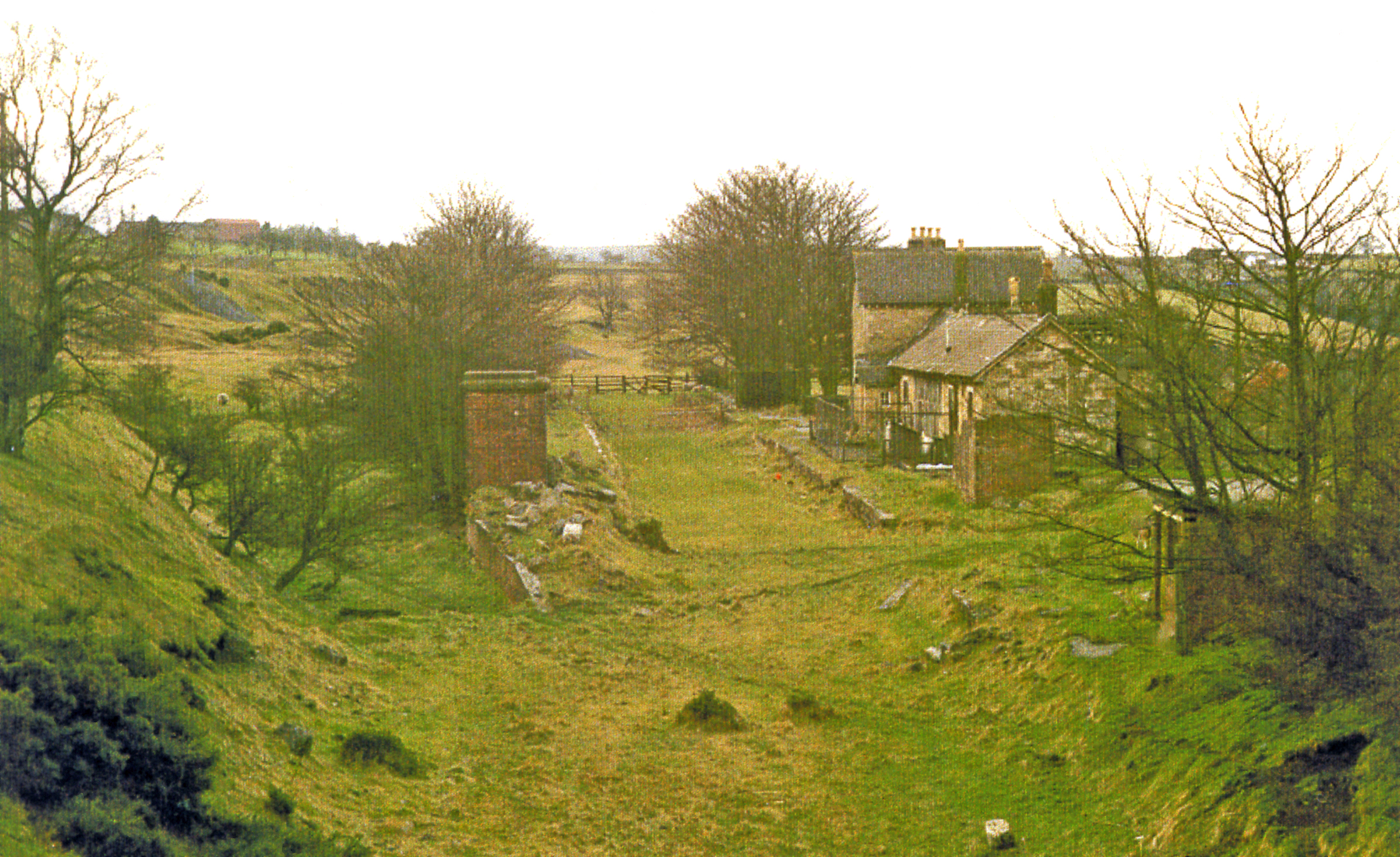
Cockfield Fell railway station
Cockfield Fell railway station was a railway station on the Bishop Auckland to Barnard Castle section of the South Durham and Lancashire Union Railway...

Morley, County Durham
Morley is a village in County Durham, England. It is situated five miles to the west of Bishop Auckland (OS grid reference NZ 1127). Morley is first mentioned...

Butterknowle
Butterknowle is a village in Teesdale, County Durham, England. Butterknowle is situated between the market towns of Bishop Auckland (9 miles to the east...
Woodland, County Durham
Woodland is a rural village in County Durham, England. It is situated 1100 feet above sea level, a few miles to the north of Barnard Castle, and west of...
The Slack
The Slack is a village in County Durham, England. It is situated near to Butterknowle, to the west of Bishop Auckland. == References ==
Nearby Amenities
Located within 500m of 54.600931,-1.8735661Have you been to Blackthorn Wood?
Leave your review of Blackthorn Wood below (or comments, questions and feedback).