Coronation Copse
Wood, Forest in Gloucestershire Cotswold
England
Coronation Copse
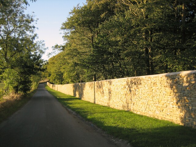
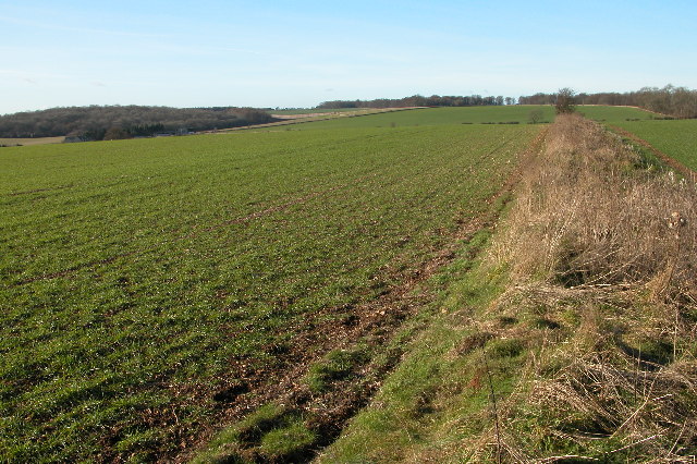
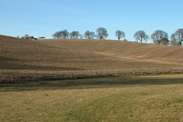
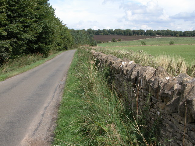
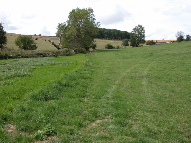
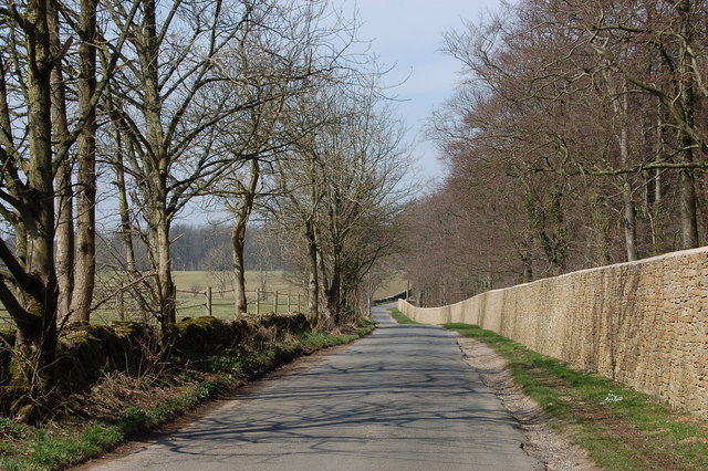
Coronation Copse is a picturesque woodland located in Gloucestershire, England. Situated within the heart of the county, this captivating forest spans an area of approximately 50 acres. The copse is nestled amidst the rolling hills and verdant landscapes of the Gloucestershire countryside, offering visitors a serene and tranquil escape from the bustle of everyday life.
The woodland is primarily composed of a diverse range of deciduous trees, including oak, beech, and ash, which create a vibrant tapestry of colors throughout the changing seasons. The forest floor is adorned with a rich carpet of wildflowers and ferns, adding to the enchanting atmosphere.
Coronation Copse is renowned for its abundant wildlife. The forest is home to a variety of bird species, such as woodpeckers, thrushes, and owls, which can be spotted and heard throughout the year. Additionally, the copse provides a natural habitat for small mammals, including foxes, badgers, and squirrels.
The woodland offers a network of well-maintained footpaths, allowing visitors to explore its natural beauty at their own pace. Whether taking a leisurely stroll or embarking on a more adventurous hike, Coronation Copse provides an idyllic setting for outdoor enthusiasts. The copse also features a designated picnic area, where visitors can relax and enjoy a packed lunch amidst the tranquil surroundings.
Coronation Copse is a true gem of Gloucestershire, offering a peaceful retreat for nature lovers and a haven for wildlife. Its beauty and accessibility make it a popular destination for locals and tourists alike, providing a wonderful opportunity to reconnect with nature and experience the magic of the English countryside.
If you have any feedback on the listing, please let us know in the comments section below.
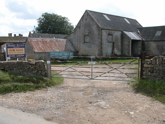
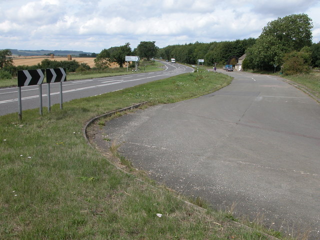
Coronation Copse Images
Images are sourced within 2km of 51.869338/-1.8833557 or Grid Reference SP0818. Thanks to Geograph Open Source API. All images are credited.

Coronation Copse is located at Grid Ref: SP0818 (Lat: 51.869338, Lng: -1.8833557)
Administrative County: Gloucestershire
District: Cotswold
Police Authority: Gloucestershire
What 3 Words
///whoever.triathlon.rush. Near Westfield, Gloucestershire
Nearby Locations
Related Wikis

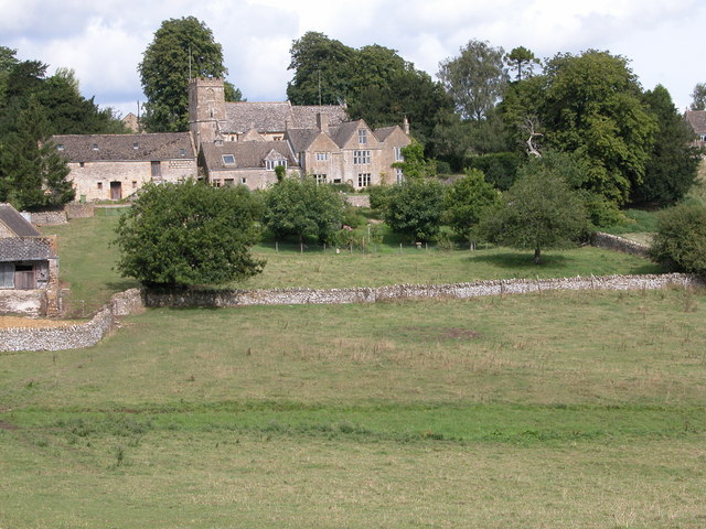
Hazleton, Gloucestershire
Hazleton or Haselton is a village and civil parish in the Cotswold District of Gloucestershire, England. The population of the civil parish in the 2011...

Hazleton Abbey
Hazleton Abbey was an abbey at Hazleton in Gloucestershire, England. It was formed in the 12th century. Monks from Kingswood Abbey bought the land after...

Salperton
Salperton is a village and former civil parish, now in the parish of Hazleton, in the Cotswolds about 8 miles (13 km) east of Cheltenham in Gloucestershire...
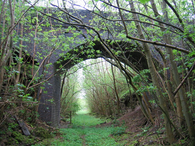
Notgrove Railway Cutting
Notgrove Railway Cutting (grid reference SP086209) is a 1.7-hectare (4.2-acre) geological Site of Special Scientific Interest in Gloucestershire, notified...
Hampen Railway Cutting
Hampen Railway Cutting (grid reference SP062205) is a 3.9-hectare (9.6-acre) geological Site of Special Scientific Interest in Gloucestershire, notified...
Notgrove railway station
Notgrove railway station was a Gloucestershire station on the Great Western Railway's Banbury and Cheltenham Direct Railway. == History == The station...

Notgrove Long Barrow
Notgrove Long Barrow is a prehistoric long barrow burial mound in Gloucestershire, England. It consists of a large mound with a passage running through...
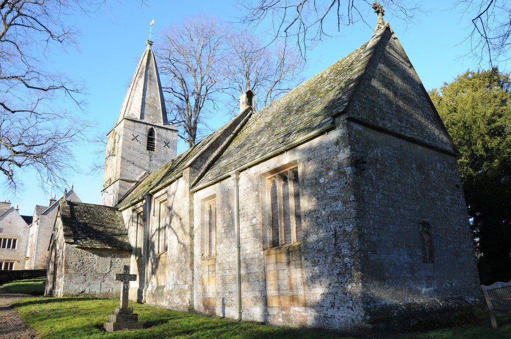
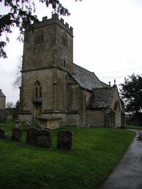
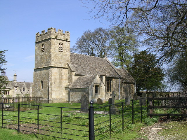
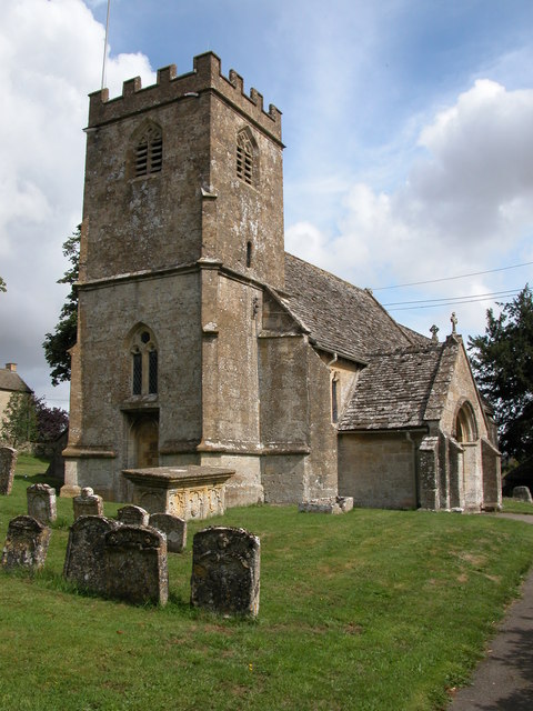
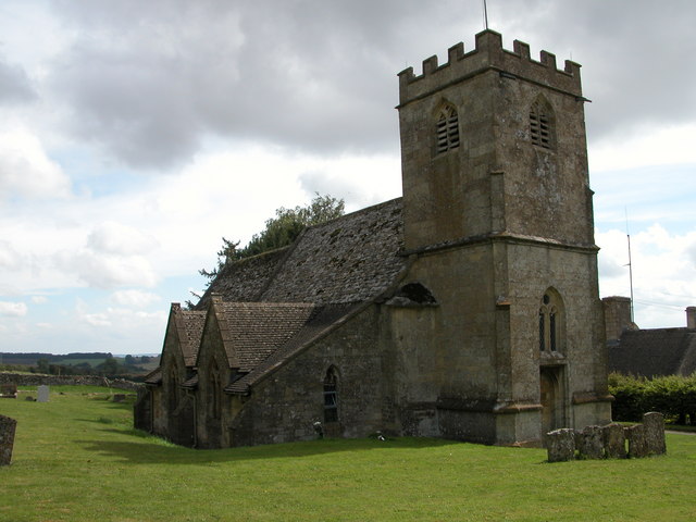
Church of St Bartholomew, Notgrove
The Anglican Church of St Bartholomew at Notgrove in the Cotswold District of Gloucestershire, England was built in the 12th century. It is a grade I listed...
Nearby Amenities
Located within 500m of 51.869338,-1.8833557Have you been to Coronation Copse?
Leave your review of Coronation Copse below (or comments, questions and feedback).