Block Wood
Wood, Forest in Staffordshire Staffordshire Moorlands
England
Block Wood
Block Wood is a small woodland area located in the county of Staffordshire, England. Situated near the village of Wood, the forest covers an approximate area of 100 acres and is known for its scenic beauty and rich biodiversity.
The wood is predominantly made up of deciduous trees, including oak, beech, and birch, which create a dense canopy and provide ample shade throughout the year. The forest floor is covered in a thick layer of leaf litter, creating a habitat for numerous small mammals, insects, and fungi.
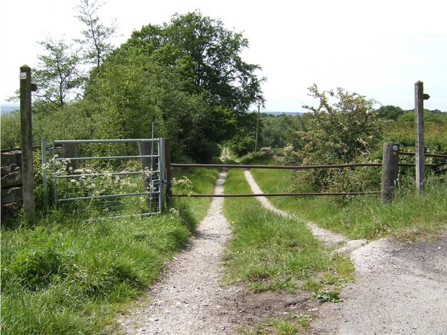
Traversing through Block Wood, visitors can find a network of well-maintained footpaths, allowing them to explore the woodland at their leisure. These paths wind through the trees, leading to clearings and meadows where wildflowers bloom in the spring and summer months.
The wood is also home to a variety of wildlife, including deer, foxes, and squirrels. Bird enthusiasts will be delighted by the presence of woodpeckers, owls, and various songbirds that can be spotted and heard throughout the forest.
Block Wood, with its serene atmosphere and natural beauty, attracts both nature lovers and outdoor enthusiasts alike. It provides ample opportunities for activities such as walking, birdwatching, and photography. The wood is easily accessible, with a small car park located nearby and several public transport options available.
Overall, Block Wood in Staffordshire is a picturesque woodland that offers a peaceful retreat for anyone seeking to connect with nature and explore the diverse ecosystems of the area.
If you have any feedback on the listing, please let us know in the comments section below.
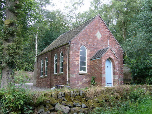
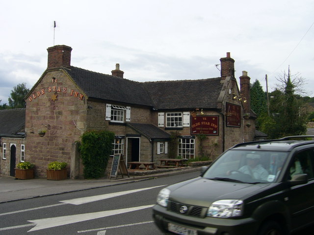
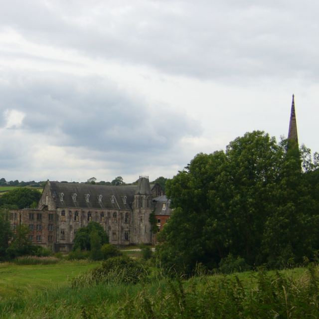
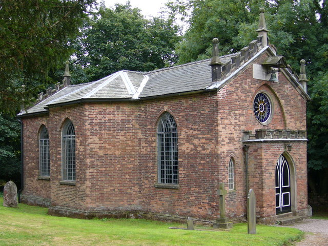
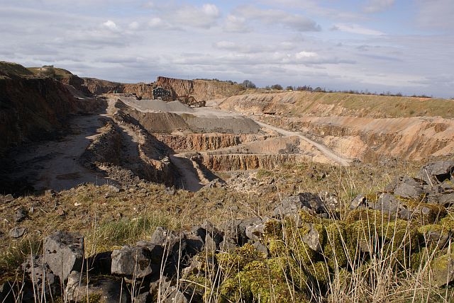
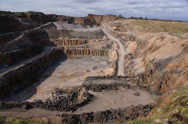
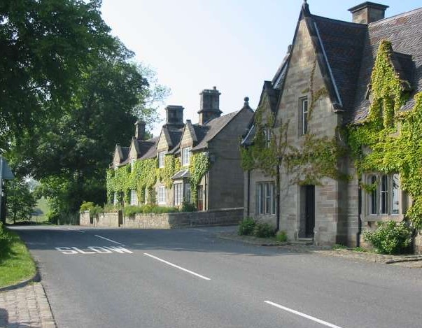
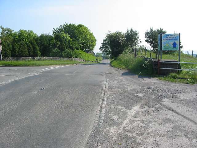
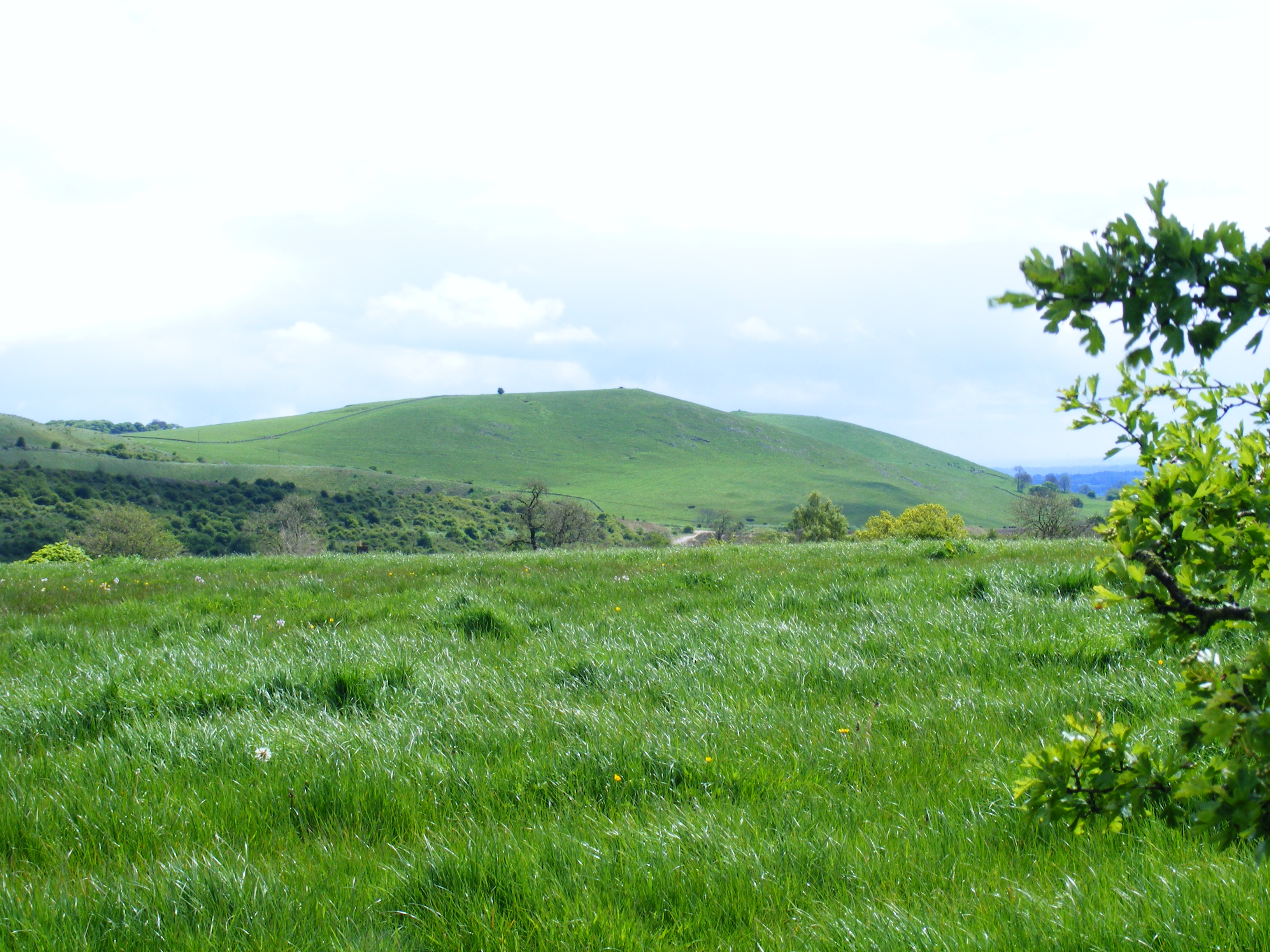
Block Wood Images
Images are sourced within 2km of 53.007437/-1.880467 or Grid Reference SK0845. Thanks to Geograph Open Source API. All images are credited.


Block Wood is located at Grid Ref: SK0845 (Lat: 53.007437, Lng: -1.880467)
Administrative County: Staffordshire
District: Staffordshire Moorlands
Police Authority: Staffordshire
What 3 Words
///duplicity.peroxide.insects. Near Cheadle, Staffordshire
Nearby Locations
Related Wikis

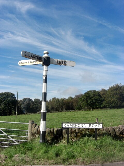
Ramshorn
The tiny hamlet of Ramsor (Methodist spelling) in North Staffordshire played a significant part in the origins of Primitive Methodism. Listed in the Domesday...
Weaver Hills
The Weaver Hills are a small range of hills in north east Staffordshire, England.The Weaver Hills are about 15 miles (24 km) east of Stoke-on-Trent and...

Cotton, Staffordshire
Cotton is a village and civil parish in Staffordshire, England. It is about 5 miles (8.0 km) north-east of Cheadle. Cotton Hall, originally built in the...

Cotton College
Cotton College was a Roman Catholic boarding school in Cotton, Staffordshire, United Kingdom. It was also known as Saint Wilfrid's College. The school...

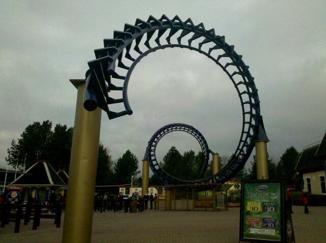
Runaway Mine Train (Alton Towers)
The Runaway Mine Train is a powered steel roller coaster made by MACK Rides of Germany. The ride is located in the Katanga Canyon area of Alton Towers...
Cotton Dell
Cotton Dell is a nature reserve of the Staffordshire Wildlife Trust. It is a wooded valley area near the village of Cotton and about 0.5 miles (0.8 km...

Ripsaw (Alton Towers)
Ripsaw was a Top Spin ride at Alton Towers theme park in Staffordshire, England. It opened in 1997 and closed at the end of 2015. == History == The ride...
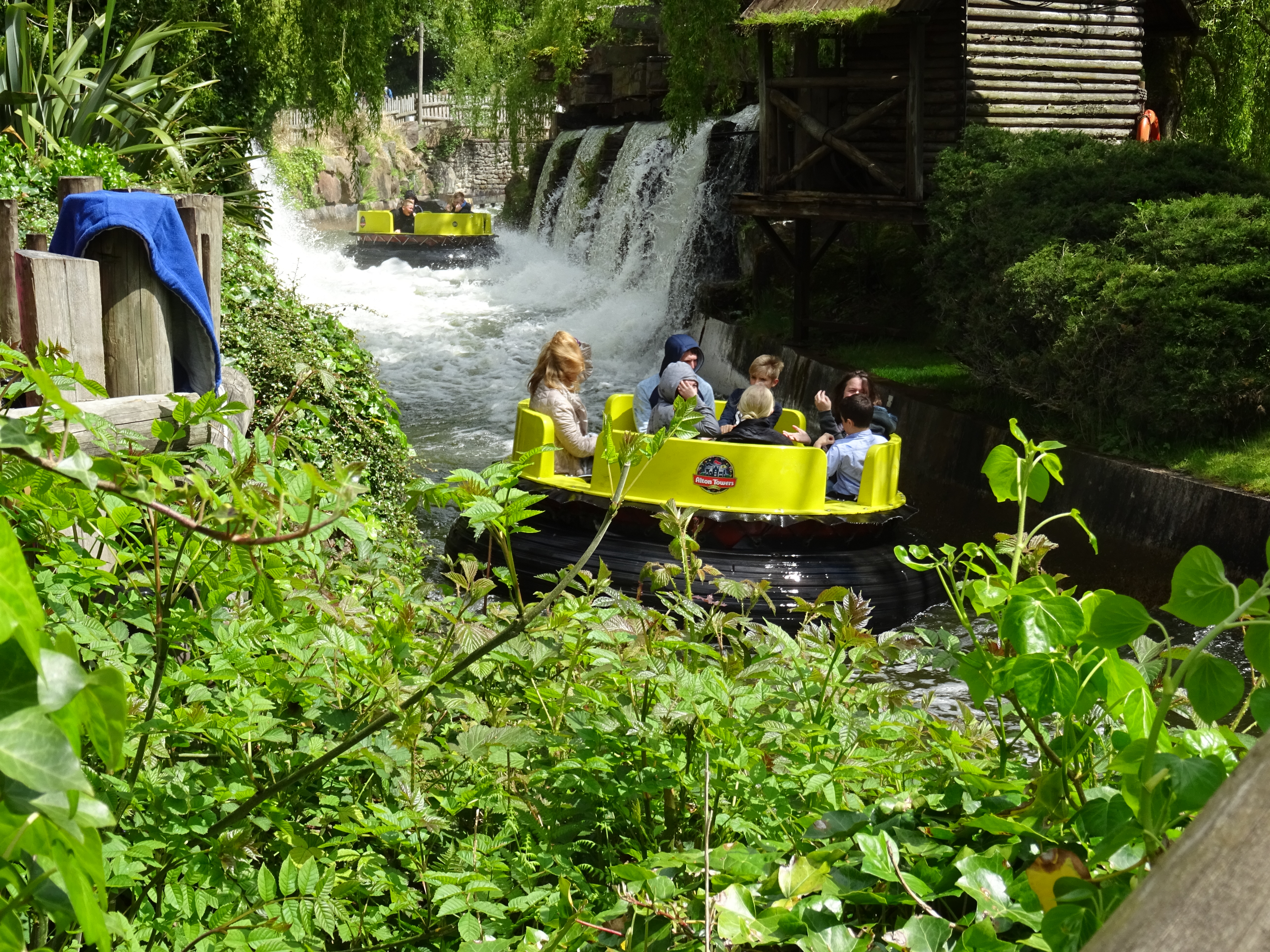
Congo River Rapids (Alton Towers)
Congo River Rapids is a river rapids ride made by Intamin. It is located in the Katanga Canyon area of Alton Towers in Staffordshire, England. The rapids...
Nearby Amenities
Located within 500m of 53.007437,-1.880467Have you been to Block Wood?
Leave your review of Block Wood below (or comments, questions and feedback).