Blackfield Coppice
Wood, Forest in Staffordshire East Staffordshire
England
Blackfield Coppice
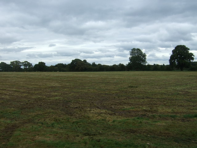
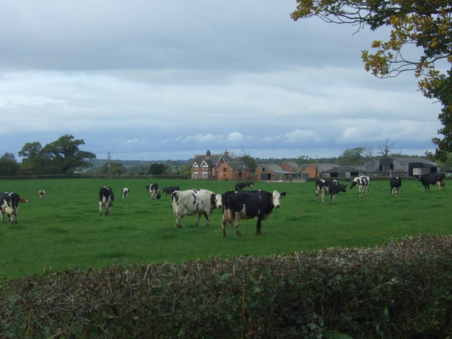
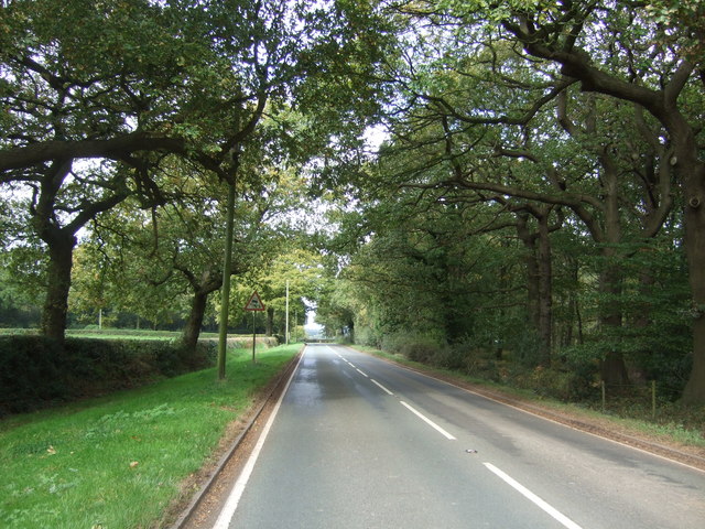
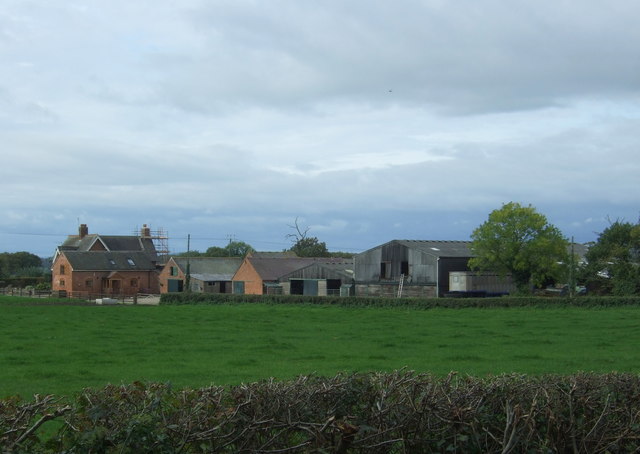
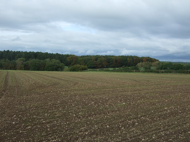
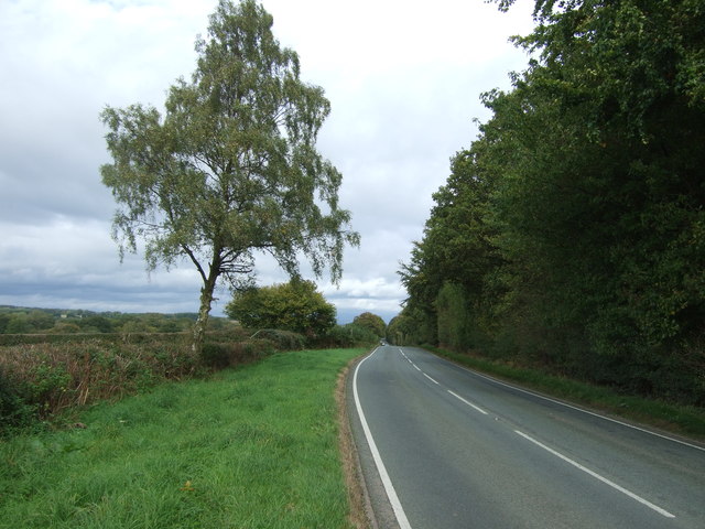
Blackfield Coppice is a picturesque woodland located in Staffordshire, England. Covering an area of approximately 100 acres, it is a popular destination for nature enthusiasts, hikers, and birdwatchers alike. The coppice is situated in a rural area, surrounded by rolling hills and fields, offering a tranquil and serene atmosphere for visitors.
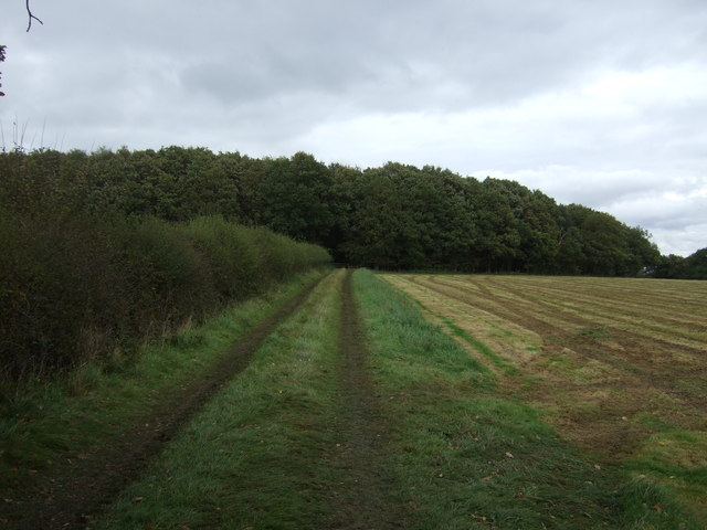
The woodland is predominantly made up of native tree species such as oak, birch, and beech, creating a diverse and vibrant ecosystem. These trees provide a haven for a wide variety of wildlife, including birds, mammals, and insects. Birdwatchers can spot species such as woodpeckers, owls, and various songbirds, while lucky visitors may even catch a glimpse of deer or foxes roaming through the undergrowth.
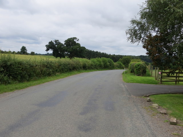
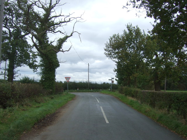
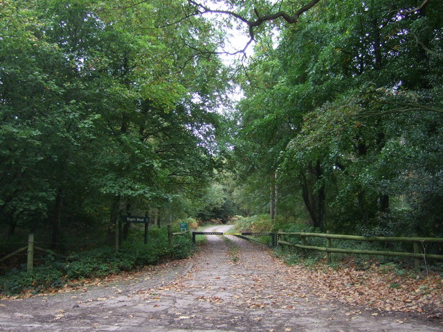
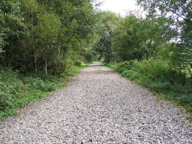
There are several well-maintained trails that wind through the coppice, allowing visitors to explore its beauty at their own pace. These paths are suitable for both casual walkers and more experienced hikers, offering a range of difficulty levels. Along the way, visitors can enjoy the stunning views of the surrounding countryside and may encounter small streams and ponds teeming with aquatic life.
Blackfield Coppice is also a popular spot for nature education programs and guided tours. Local experts provide insightful information about the woodland's history, flora, and fauna, enhancing visitors' understanding and appreciation of the natural environment.
Overall, Blackfield Coppice in Staffordshire offers a rich and diverse woodland experience, with its scenic beauty, abundant wildlife, and educational opportunities making it an ideal destination for nature lovers of all ages.
If you have any feedback on the listing, please let us know in the comments section below.
Blackfield Coppice Images
Images are sourced within 2km of 52.83835/-1.8823262 or Grid Reference SK0826. Thanks to Geograph Open Source API. All images are credited.


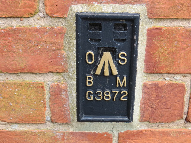
Blackfield Coppice is located at Grid Ref: SK0826 (Lat: 52.83835, Lng: -1.8823262)
Administrative County: Staffordshire
District: East Staffordshire
Police Authority: Staffordshire
What 3 Words
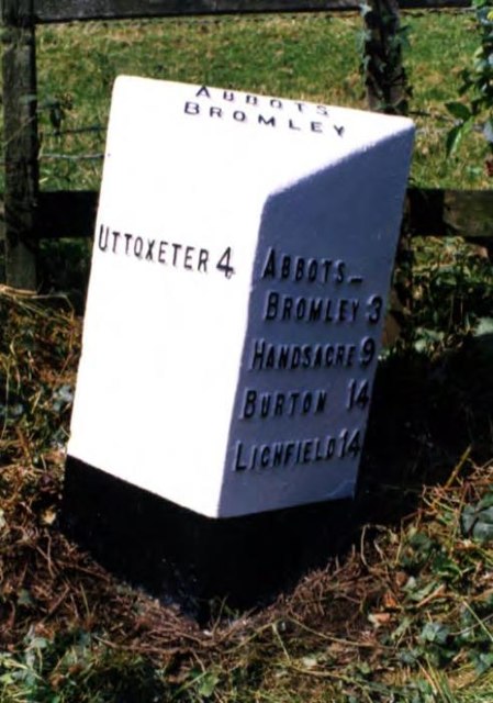
///shots.become.deferring. Near Abbots Bromley, Staffordshire
Nearby Locations
Related Wikis

Bagot's Wood
Bagot's Wood is the largest extant piece of the ancient Needwood Forest, located near to Abbots Bromley, in Staffordshire, England. The forest derives...

RAF Abbots Bromley
RAF Abbots Bromley is a former Royal Air Force Relief Landing Ground (RLG) located 0.7 miles (1.1 km) north-west of the village of Abbots Bromley, Staffordshire...

Abbots Bromley
Abbots Bromley is a village and civil parish in the East Staffordshire district of Staffordshire and lies approximately 9.8 miles (15.8 km) east of Stafford...

Abbots Bromley School
Abbots Bromley School (previously the School of S. Mary and S. Anne, Abbots Bromley before becoming Abbots Bromley School for Girls) was a coeducational...

Kingstone, Staffordshire
Kingstone is a village and civil parish within the English county of Staffordshire. == Population == The 2011 census recorded a population of 629 in 249...
Staffordshire Way
The Staffordshire Way is a long-distance walk in Staffordshire, England. The path links with the Cheshire Gritstone Trail, the Heart of England Way and...

Blithfield Reservoir
Blithfield Reservoir is a large raw water reservoir in Staffordshire, England, owned by South Staffordshire Water. Some 800 acres (324 hectares) of reservoir...

Marchington Woodlands
Marchington Woodlands is a village and former civil parish, now in the parish of Marchington, in the East Staffordshire district, in the county of Staffordshire...
Related Videos

A Lovely walk around Blithfield wood
A woodland walk in Autumn.
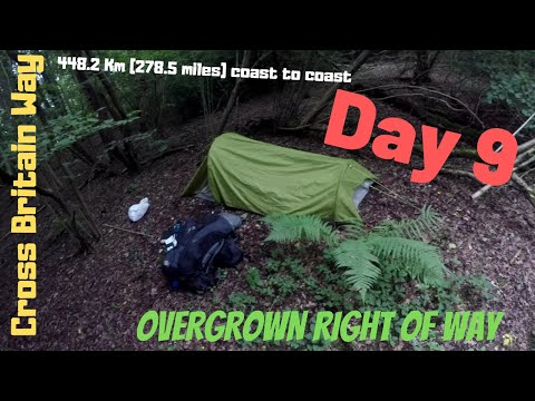
Day 9 The Macmillan Cross Britain Way HS2 Railway Hiking Coast to Coast Overgrown route Wild camping
Filmed on the 23/08/2017 since then my video skills and equipment has improved alot :) Locations on this episode Braken Hurst ...

Jon's Time Travel Sky 74 Sunrise to Sunset on Water - Blithfield Reservoir
Hello and Welcome This is a Time Lapse of the Sun rising to the Sun setting on 13/01/23. I went back to Blithfield Reservoir in ...
Abbots Bromley 5.5 mile walk
Country Walking Route 8 from June 2018 (linnk Below) a 5.5 mile circular route around Abbots Bromley in Staffordshire. This is an ...
Have you been to Blackfield Coppice?
Leave your review of Blackfield Coppice below (or comments, questions and feedback).