Walker's Wood
Wood, Forest in Durham
England
Walker's Wood

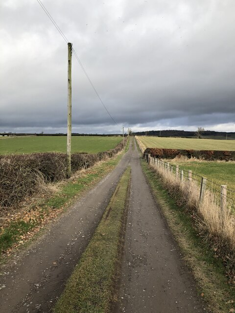
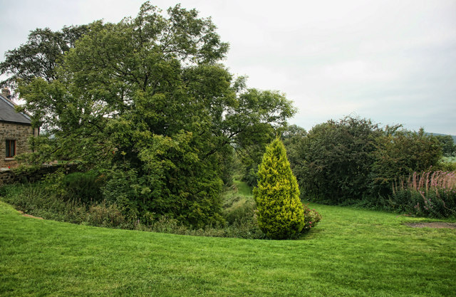
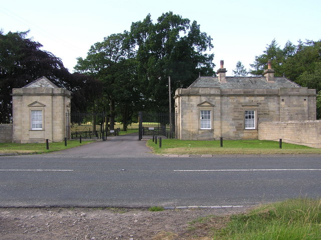
Walker's Wood is a picturesque forest located in the county of Durham, in the northeast of England. Spanning over 100 acres, this enchanting woodland is a haven for nature lovers and outdoor enthusiasts alike. The forest is named after the Walker family, who have owned and managed the wood for generations.
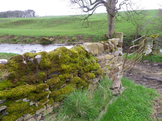
Upon entering Walker's Wood, visitors are greeted by a diverse range of flora and fauna. Towering oak, beech, and pine trees dominate the landscape, creating a dense canopy that provides shade and shelter for a plethora of wildlife. The forest floor is adorned with a carpet of vibrant wildflowers, ferns, and mosses, adding to the area's natural beauty.
The wood boasts a network of well-maintained trails, allowing visitors to explore its many hidden gems. Meandering through the forest, these paths provide opportunities for hiking, jogging, and cycling. The tranquil atmosphere and serene surroundings make Walker's Wood a popular destination for those seeking solace in nature.
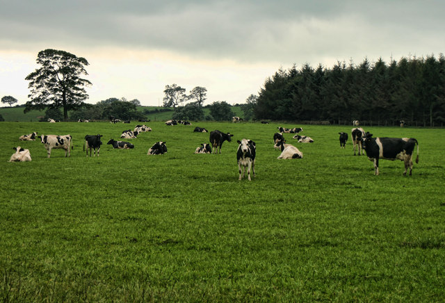
A variety of wildlife calls Walker's Wood home, including deer, foxes, rabbits, and a myriad of bird species. The forest is teeming with life, and nature enthusiasts can spot a wide range of animals and birds throughout the year. Birdwatchers, in particular, will be delighted by the chance to observe species such as woodpeckers, owls, and various migratory birds.
Walker's Wood is not just a natural sanctuary; it also serves as an educational and recreational resource for the local community. The forest hosts guided nature walks, workshops, and educational programs for both children and adults, allowing visitors to learn more about the area's ecosystem and conservation efforts.
In conclusion, Walker's Wood is a captivating forest in Durham that offers a tranquil escape from the hustle and bustle of everyday life. With its scenic trails, diverse wildlife, and educational programs, it is a treasure trove for nature enthusiasts and a cherished asset to the local community.
If you have any feedback on the listing, please let us know in the comments section below.
Walker's Wood Images
Images are sourced within 2km of 54.600525/-1.8807341 or Grid Reference NZ0722. Thanks to Geograph Open Source API. All images are credited.


Walker's Wood is located at Grid Ref: NZ0722 (Lat: 54.600525, Lng: -1.8807341)
Unitary Authority: County Durham
Police Authority: Durham
What 3 Words
///initiated.chess.udder. Near Cockfield, Co. Durham
Nearby Locations
Related Wikis
Copley, County Durham
Copley is a village of roughly 400 inhabitants in County Durham, England. It is situated 9 miles west of Bishop Auckland, and 6 miles from Barnard Castle...

Kinninvie
Kinninvie is a hamlet in County Durham, England. It is situated to the north of Barnard Castle. Kinninvie is in the civil parish of Marwood.The name Kinninvie...
Streatlam Castle
Streatlam Castle was a Baroque stately home located near the town of Barnard Castle in County Durham, England, that was demolished in 1959. Owned by the...

Marwood, County Durham
Marwood is a civil parish in County Durham, England. It had a population of 529 at the 2011 Census. == History == Marwood was a township in Gainford parish...
Woodland, County Durham
Woodland is a rural village in County Durham, England. It is situated 1100 feet above sea level, a few miles to the north of Barnard Castle, and west of...
Morley, County Durham
Morley is a village in County Durham, England. It is situated five miles to the west of Bishop Auckland (OS grid reference NZ 1127). Morley is first mentioned...
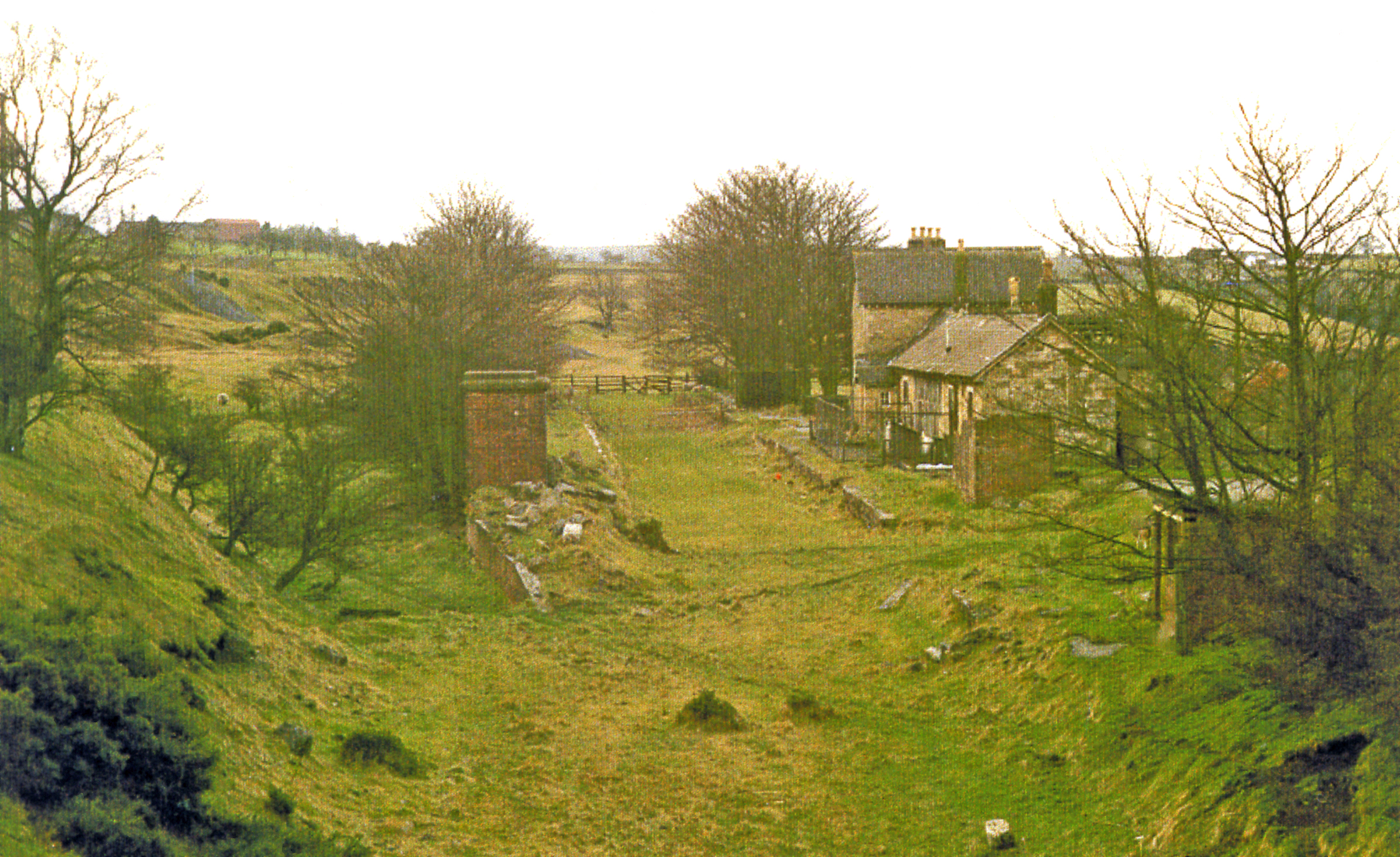
Cockfield Fell railway station
Cockfield Fell railway station was a railway station on the Bishop Auckland to Barnard Castle section of the South Durham and Lancashire Union Railway...

Butterknowle
Butterknowle is a village in Teesdale, County Durham, England. Butterknowle is situated between the market towns of Bishop Auckland (9 miles to the east...
Nearby Amenities
Located within 500m of 54.600525,-1.8807341Have you been to Walker's Wood?
Leave your review of Walker's Wood below (or comments, questions and feedback).