Firth Plantation

Wood, Forest in Yorkshire Harrogate

England

Firth Plantation

Middlesmoor, Scar House reservoir According to the OS benchmark database there is a cutmark on the south-west buttress. Nothing was found.
Middlesmoor, Scar House reservoir Credit: Mel Towler

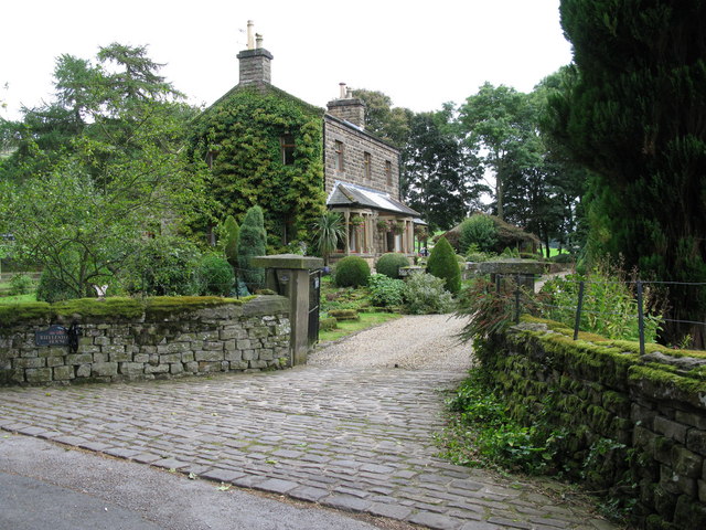
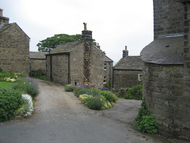
Firth Plantation, located in Yorkshire, England, is a picturesque woodland area known for its dense forests and natural beauty. Spanning over several acres, this plantation is situated in the heart of the countryside, making it a popular destination for nature enthusiasts and hikers alike.

The woodland at Firth Plantation is characterized by a diverse range of tree species, including oak, ash, beech, and birch. These towering trees create a dense canopy, allowing only dappled sunlight to filter through, creating a serene and peaceful atmosphere. The forest floor is carpeted with a variety of flora, including ferns, wildflowers, and mosses, further enhancing the enchanting ambiance.

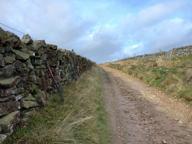
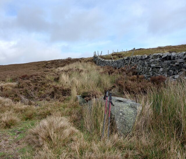
The plantation is crisscrossed by a network of well-maintained trails, offering visitors the opportunity to explore its natural wonders. These paths meander through the woodland, leading to hidden groves, babbling brooks, and scenic viewpoints. Along the way, visitors may encounter a rich array of wildlife, including deer, squirrels, rabbits, and a multitude of bird species.

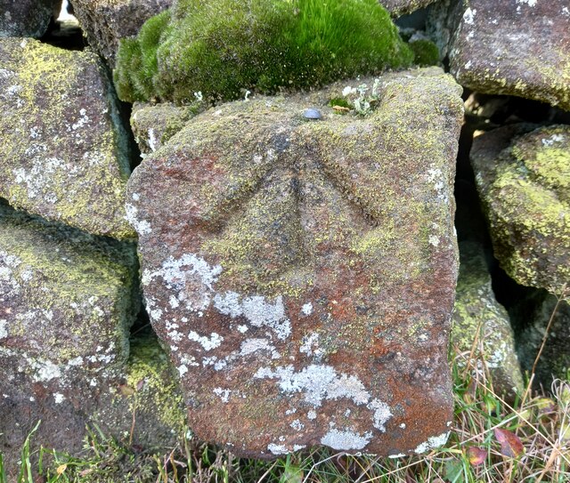
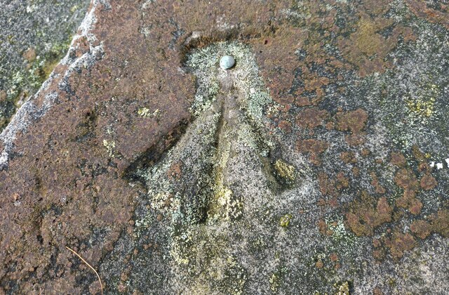
In addition to its natural beauty, Firth Plantation also boasts historical significance. The area has been inhabited since ancient times, and remnants of old settlements and structures can still be found within the woodland. These archaeological sites provide a glimpse into the region's past and add an intriguing layer of history to the plantation's allure.

Overall, Firth Plantation offers a captivating experience for nature lovers, history enthusiasts, and those seeking a tranquil escape from the hustle and bustle of everyday life. Its stunning woodlands, diverse wildlife, and historical significance make it a truly remarkable destination in Yorkshire.

If you have any feedback on the listing, please let us know in the comments section below.

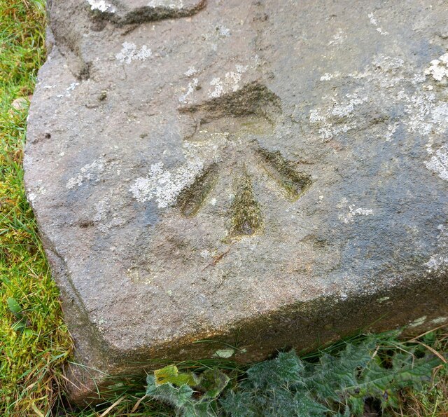
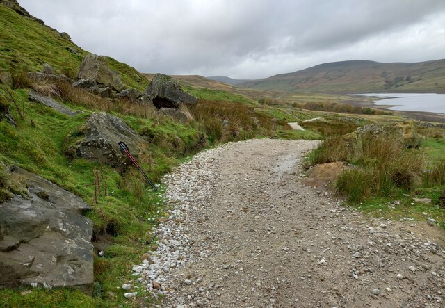
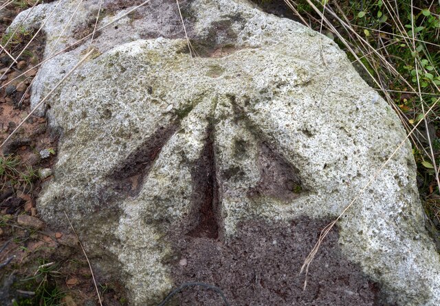
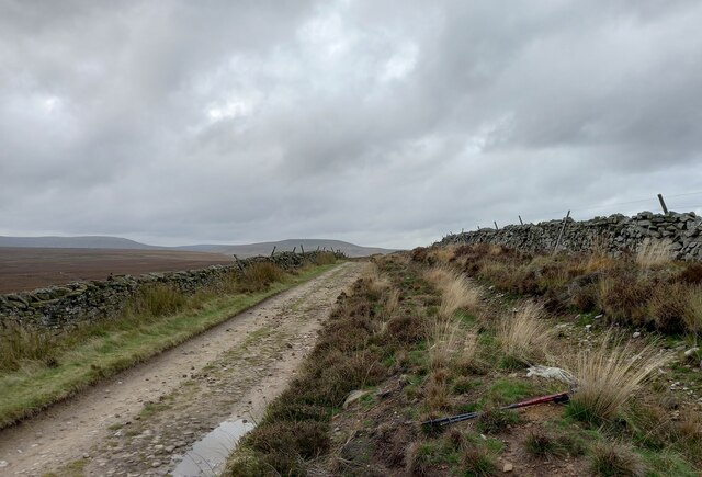
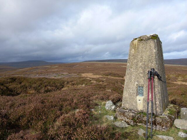
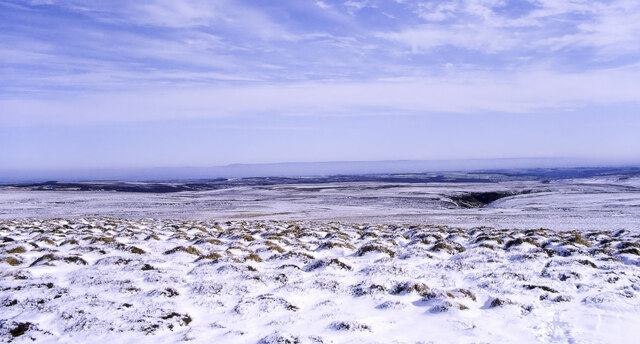
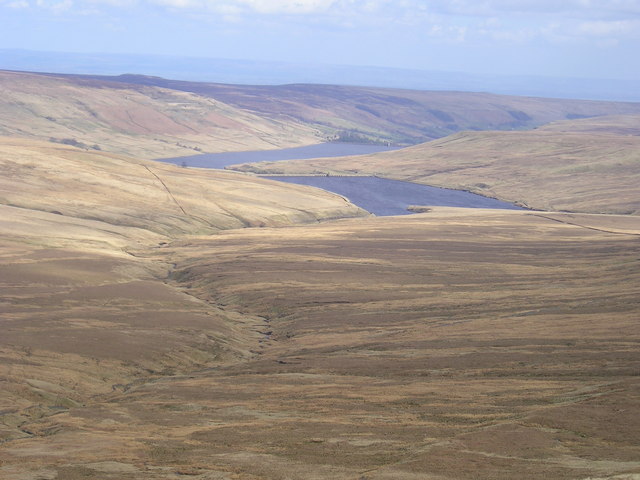
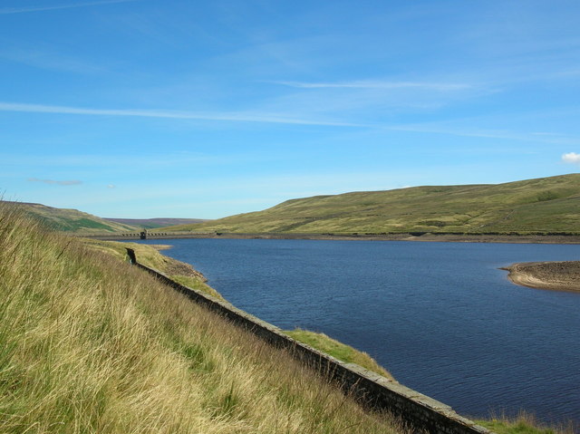
Firth Plantation Images

Images are sourced within 2km of 54.193721/-1.8858292 or Grid Reference SE0777. Thanks to Geograph Open Source API. All images are credited.

Middlesmoor, Scar House reservoir According to the OS benchmark database there is a cutmark on the south-west buttress. Nothing was found.
Middlesmoor, Scar House reservoir
According to the OS benchmark database there is a cutmark on the south-west buttress. Nothing was found.
Middlesmoor, Scar House reservoir, barn According to the OS benchmark database there is a benchmark cut into the south-east facing wall of the barn. A business is run from the barn and with dogs running in the yard as little disturbance was made as possible. Nothing was seen, hanging over the gate for a few minutes.
Middlesmoor, Scar House reservoir, barn
According to the OS benchmark database there is a benchmark cut into the south-east facing wall of the barn. A business is run from the barn and with dogs running in the yard as little disturbance was made as possible. Nothing was seen, hanging over the gate for a few minutes.
Scar House Reservoir, track to Middlesmoor The benchmark is cut into the gatepost which is on the east side of the path.
Scar House Reservoir, track to Middlesmoor
The benchmark is cut into the gatepost which is on the east side of the path.
Nidderdale, Scar House reservoir There is a benchmark cut into the gatepost which is on the east side of the path.
Nidderdale, Scar House reservoir
There is a benchmark cut into the gatepost which is on the east side of the path.
Nidderdale, Scar House reservoir, track to Middlesmoor The benchmark is cut into a rock on the south side of the footpath.
Nidderdale, Scar House reservoir, track to Middlesmoor
The benchmark is cut into a rock on the south side of the footpath.
Nidderdale, Scar House reservoir, track to Middlesmoor There is a benchmark cut into a rock on the south side of the footpath.
Nidderdale, Scar House reservoir, track to Middlesmoor
There is a benchmark cut into a rock on the south side of the footpath.
Nidderdale, track from Scar House reservoir to Middlesmoor The pivot benchmark is cut into a boulder which is to the east of the track, but to the west of the dry ditch which runs parallel with the dry stone wall.
Nidderdale, track from Scar House reservoir to Middlesmoor
The pivot benchmark is cut into a boulder which is to the east of the track, but to the west of the dry ditch which runs parallel with the dry stone wall.
Nidderdale, track which runs from Scar House reservoir to Middlesmoor There is a pivot benchmark cut into a boulder which is to the east of the track, but to the west of the dry ditch which runs parallel with the dry stone wall.
Nidderdale, track which runs from Scar House reservoir to Middlesmoor
There is a pivot benchmark cut into a boulder which is to the east of the track, but to the west of the dry ditch which runs parallel with the dry stone wall.
Nidderdale, track from Scar House reservoir to Middlesmoor The rivet benchmark is cut into the lowest course of stone of the wall on the west side of the track.
Nidderdale, track from Scar House reservoir to Middlesmoor
The rivet benchmark is cut into the lowest course of stone of the wall on the west side of the track.
Nidderdale, track from Scar House reservoir to Middlesmoor There is a rivet benchmark cut into the lowest course of stone of the wall on the west side of the track.
Nidderdale, track from Scar House reservoir to Middlesmoor
There is a rivet benchmark cut into the lowest course of stone of the wall on the west side of the track.
Nidderdale, track to Rain Stang trig point The rivet benchmark is cut into a boulder which is on the right of a poorly defined path from the bridleway to the trig point at Rain Stang.
Nidderdale, track to Rain Stang trig point
The rivet benchmark is cut into a boulder which is on the right of a poorly defined path from the bridleway to the trig point at Rain Stang.
Nidderdale, path to trig point at Rain Stang There is a rivet benchmark cut into a boulder which is on the right of a poorly defined path from the bridleway to the trig point at Rain Stang.
Nidderdale, path to trig point at Rain Stang
There is a rivet benchmark cut into a boulder which is on the right of a poorly defined path from the bridleway to the trig point at Rain Stang.
Middlesmoor, Rain Stang Trig Point The OS Flush Bracket S7707 is embedded into the Rain Stang Trig Point above Middlesmoor at the top of Nidderdale.
Middlesmoor, Rain Stang Trig Point
The OS Flush Bracket S7707 is embedded into the Rain Stang Trig Point above Middlesmoor at the top of Nidderdale.
Nidderdale, Rain Stang Trig Point There is some damage to the trig point. In the far distance is Gowthwaite Reservoir.
Nidderdale, Rain Stang Trig Point
There is some damage to the trig point. In the far distance is Gowthwaite Reservoir.
Nidderdale, Rain Stang Trig Point The OS Flush Bracket S7707 is embedded into the Rain Stang Trig Point above Middlesmoor at the top of Nidderdale. There is some damage to the top of the trig point. Excellent views, N, S, E and W across the heather moorlands.
Nidderdale, Rain Stang Trig Point
The OS Flush Bracket S7707 is embedded into the Rain Stang Trig Point above Middlesmoor at the top of Nidderdale. There is some damage to the top of the trig point. Excellent views, N, S, E and W across the heather moorlands.
Snowed heather tussocks on Great Haw The view east from Great Haw over moorland with the undulating ground of the North Yorks Moors in the distance. The stream groove to the right in the image will be of a tributary of Steel House Gill.
Snowed heather tussocks on Great Haw
The view east from Great Haw over moorland with the undulating ground of the North Yorks Moors in the distance. The stream groove to the right in the image will be of a tributary of Steel House Gill.
Benchmark cut into Scar House reservoir parapet The benchmark is cut into the west parapet, at the north end, and the mark faces west. Wider view <a href="https://www.geograph.org.uk/photo/7555639">SE0677 : North end of dam of Scar House Reservoir, Nidderdale</a>
Benchmark cut into Scar House reservoir parapet
The benchmark is cut into the west parapet, at the north end, and the mark faces west. Wider view SE0677 : North end of dam of Scar House Reservoir, Nidderdale
North end of dam of Scar House Reservoir, Nidderdale There is a benchmark cut into the west parapet, at the north end, and the mark faces west. Closer view <a href="https://www.geograph.org.uk/photo/7555637">SE0677 : Benchmark cut into Scar House reservoir parapet</a>
North end of dam of Scar House Reservoir, Nidderdale
There is a benchmark cut into the west parapet, at the north end, and the mark faces west. Closer view SE0677 : Benchmark cut into Scar House reservoir parapet
Show me another place!

Firth Plantation is located at Grid Ref: SE0777 (Lat: 54.193721, Lng: -1.8858292)

Division: West Riding

Administrative County: North Yorkshire

District: Harrogate

Police Authority: North Yorkshire

What 3 Words

///cabbages.shoving.fleet. Near Leyburn, North Yorkshire

Nearby Locations

Firth Plantation

Related Wikis

Scar House Reservoir

Scar House Reservoir is the second of the three reservoirs in Upper Nidderdale, North Yorkshire, England, the others are Angram Reservoir and Gouthwaite...

Nidd Aqueduct

The Nidd Aqueduct is an aqueduct or man-made watercourse in North Yorkshire, England. It feeds water from Angram and Scar House reservoirs in upper Nidderdale...

Nidderdale Caves

The Nidderdale Caves are a series of caves in Upper Nidderdale in North Yorkshire, England. There are two cave systems and most of the caves are in some...

Stonebeck Up

Stonebeck Up is a civil parish in Harrogate district, North Yorkshire, England. The only village in the parish is Middlesmoor. The population of the...

Angram Reservoir

Angram Reservoir is the first of three reservoirs on the River Nidd in Upper Nidderdale, North Yorkshire, England, the others being Scar House Reservoir...

Nidd Valley Light Railway

Nidd Valley Light Railway was a light railway in upper Nidderdale in the West Riding of Yorkshire, England. It was owned by Bradford Corporation Waterworks...

Middlesmoor

Middlesmoor is a small hill village at the head of Nidderdale in the Harrogate district of North Yorkshire, England. Middlesmoor is the principal settlement...

Stean

Stean is a small village in upper Nidderdale in North Yorkshire, England. It is 8 miles (13 km) north of Pateley Bridge. The village is located on Stean...

Nearby Amenities

Located within 500m of 54.193721,-1.8858292
Ford: yes
Lat/Long: 54.1967372/-1.8801929
The data included in this document is from www.openstreetmap.org. The data is made available under ODbL.

Have you been to Firth Plantation?

Leave your review of Firth Plantation below (or comments, questions and feedback).