Capplebank Plantation

Wood, Forest in Yorkshire Richmondshire

England

Capplebank Plantation

Benchmark on Langthwaite Barn Ordnance Survey cut mark benchmark described on the Bench Mark Database at <span class="nowrap"><a title="http://www.bench-marks.org.uk/bm38516" rel="nofollow ugc noopener" href="http://www.bench-marks.org.uk/bm38516">Link</a><img style="margin-left:2px;" alt="External link" title="External link - shift click to open in new window" src="https://s1.geograph.org.uk/img/external.png" width="10" height="10"/></span>
Benchmark on Langthwaite Barn Credit: Roger Templeman

Capplebank Plantation is a picturesque woodland located in the county of Yorkshire, England. Situated in the heart of the countryside, this enchanting forest spans across a vast area, covering approximately 100 acres of land. The plantation is renowned for its natural beauty, offering visitors a serene and tranquil escape from the bustling city life.

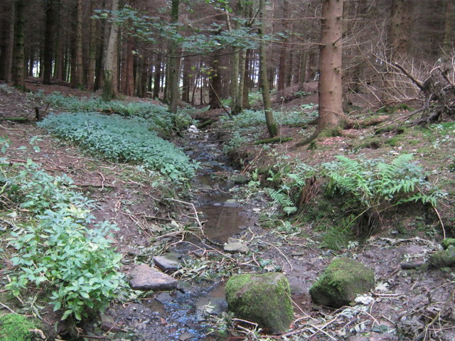
The woodland is predominantly composed of a variety of trees, including oak, ash, and beech, which create a dense and lush canopy overhead. The forest floor is adorned with a diverse array of wildflowers, ferns, and moss, adding to the enchanting atmosphere of the plantation. Capplebank Plantation is also home to various wildlife species, including deer, rabbits, and a multitude of bird species, making it a haven for nature enthusiasts and birdwatchers.

The plantation is crisscrossed with well-maintained walking trails, providing visitors with the opportunity to explore the woodland and immerse themselves in its natural wonders. These trails meander through the forest, leading visitors to hidden clearings, babbling brooks, and idyllic picnic spots. The plantation also features a small lake, which adds to the charm and serenity of the surroundings.

Capplebank Plantation is a popular destination for outdoor activities such as hiking, birdwatching, and photography. It offers a peaceful retreat for those seeking solace in nature and a chance to reconnect with the great outdoors. Whether you are a nature lover or simply seeking an escape from the daily grind, Capplebank Plantation is a must-visit destination in Yorkshire.

If you have any feedback on the listing, please let us know in the comments section below.

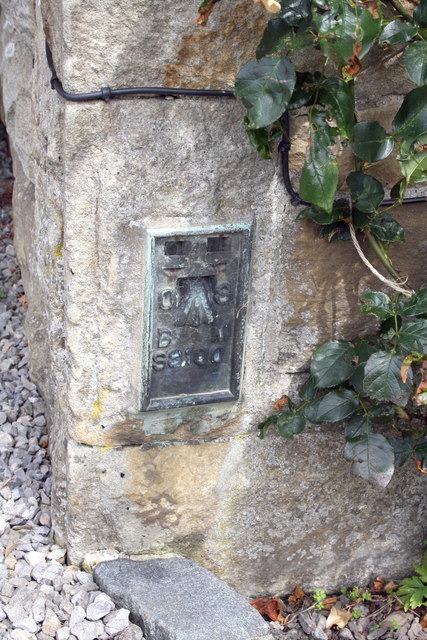
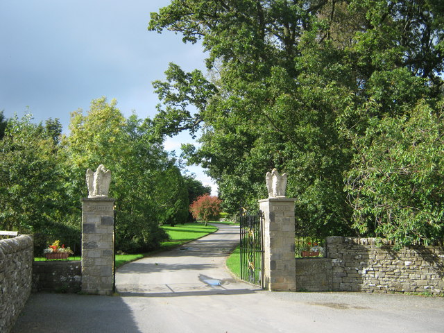
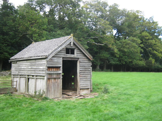
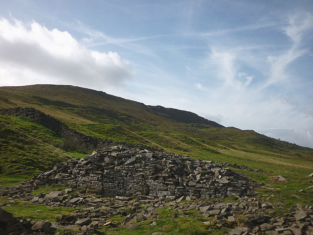
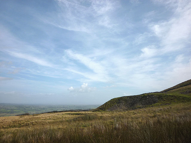
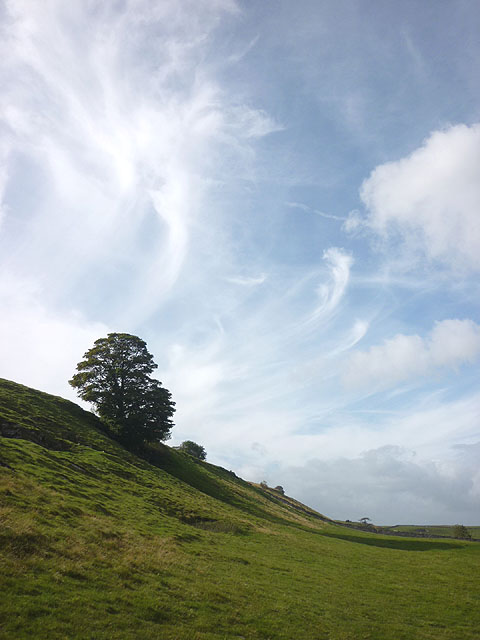
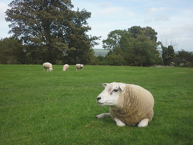
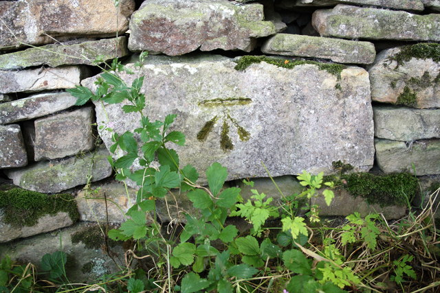
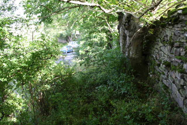
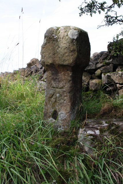
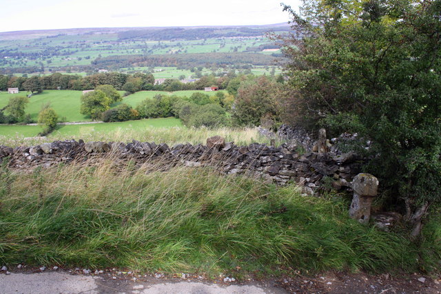
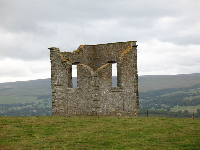
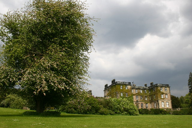
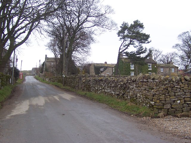
Capplebank Plantation Images

Images are sourced within 2km of 54.283577/-1.8870867 or Grid Reference SE0787. Thanks to Geograph Open Source API. All images are credited.

Benchmark on Langthwaite Barn Ordnance Survey cut mark benchmark described on the Bench Mark Database at <span class="nowrap"><a title="http://www.bench-marks.org.uk/bm38516" rel="nofollow ugc noopener" href="http://www.bench-marks.org.uk/bm38516">Link</a><img style="margin-left:2px;" alt="External link" title="External link - shift click to open in new window" src="https://s1.geograph.org.uk/img/external.png" width="10" height="10"/></span>
Benchmark on Langthwaite Barn
Ordnance Survey cut mark benchmark described on the Bench Mark Database at LinkExternal link
Benchmark dating from 1845 on house 'East View' Ordnance Survey cut mark benchmark described on the Bench Mark Database at <span class="nowrap"><a title="http://www.bench-marks.org.uk/bm25470" rel="nofollow ugc noopener" href="http://www.bench-marks.org.uk/bm25470">Link</a><img style="margin-left:2px;" alt="External link" title="External link - shift click to open in new window" src="https://s1.geograph.org.uk/img/external.png" width="10" height="10"/></span>
Benchmark dating from 1845 on house 'East View'
Ordnance Survey cut mark benchmark described on the Bench Mark Database at LinkExternal link
Banchmark on 'Pen Cottage' Ordnance Survey cut mark benchmark described on the Bench Mark Database at <span class="nowrap"><a title="http://www.bench-marks.org.uk/bm38730" rel="nofollow ugc noopener" href="http://www.bench-marks.org.uk/bm38730">Link</a><img style="margin-left:2px;" alt="External link" title="External link - shift click to open in new window" src="https://s1.geograph.org.uk/img/external.png" width="10" height="10"/></span>
Banchmark on 'Pen Cottage'
Ordnance Survey cut mark benchmark described on the Bench Mark Database at LinkExternal link
Houses beside the main road through West Witton The house on the right carries an OS benchmark cut on the 1845 1GL survey line from Kendal to Thirsk <a href="https://www.geograph.org.uk/photo/2598611">SE0588 : Benchmark dating from 1845 on house 'East View'</a>
Houses beside the main road through West Witton
The house on the right carries an OS benchmark cut on the 1845 1GL survey line from Kendal to Thirsk SE0588 : Benchmark dating from 1845 on house 'East View'
Benchmark on St Bartholomew's Church Ordnance Survey 1GL bolt benchmark described on the Bench Mark Database at <span class="nowrap"><a title="http://www.bench-marks.org.uk/bm25262" rel="nofollow ugc noopener" href="http://www.bench-marks.org.uk/bm25262">Link</a><img style="margin-left:2px;" alt="External link" title="External link - shift click to open in new window" src="https://s1.geograph.org.uk/img/external.png" width="10" height="10"/></span>
Benchmark on St Bartholomew's Church
Ordnance Survey 1GL bolt benchmark described on the Bench Mark Database at LinkExternal link
St Bartholomews Church and gravestones
Benchmark on the old School House Ordnance Survey flush bracket with serial number S8100 described on the Bench Mark Database at <span class="nowrap"><a title="http://www.bench-marks.org.uk/bm11795" rel="nofollow ugc noopener" href="http://www.bench-marks.org.uk/bm11795">Link</a><img style="margin-left:2px;" alt="External link" title="External link - shift click to open in new window" src="https://s1.geograph.org.uk/img/external.png" width="10" height="10"/></span>
Benchmark on the old School House
Ordnance Survey flush bracket with serial number S8100 described on the Bench Mark Database at LinkExternal link
Entrance drive to Spigot Lodge, Coverham
Unnamed watercourse in Millers Gill Plantation
Derelict hut north of Millers Gill Plantation
Old quarry ruin, Penhill Park The stone was flat-bedded flagstone used for buildings and roofing 'slates'.
Old quarry ruin, Penhill Park
The stone was flat-bedded flagstone used for buildings and roofing 'slates'.
Spoil heap, Penhill Park Part of the old flagstone quarries below Penhill's north flank.
Spoil heap, Penhill Park
Part of the old flagstone quarries below Penhill's north flank.
Escarpment below Flint Lane A band of harder limestone creates this steep slope on the north flank of Penhill.
Escarpment below Flint Lane
A band of harder limestone creates this steep slope on the north flank of Penhill.
Rams on the edge of West Witton Texel (or Beltex?) rams grazing happily in a pasture south of the village.
Rams on the edge of West Witton
Texel (or Beltex?) rams grazing happily in a pasture south of the village.
Benchmark on wall of Witton Steeps Ordnance Survey cut mark benchmark described on the Bench Mark Database at <span class="nowrap"><a title="http://www.bench-marks.org.uk/bm39656" rel="nofollow ugc noopener" href="http://www.bench-marks.org.uk/bm39656">Link</a><img style="margin-left:2px;" alt="External link" title="External link - shift click to open in new window" src="https://s1.geograph.org.uk/img/external.png" width="10" height="10"/></span>
Benchmark on wall of Witton Steeps
Ordnance Survey cut mark benchmark described on the Bench Mark Database at LinkExternal link
Wall and bank beside Witton Steeps Witton Steeps descends steep hill towards left hand bend at the approach to West Witton. The stone in the wall bottom right of photo has an OS benchmark <a href="https://www.geograph.org.uk/photo/2633306">SE0687 : Benchmark on wall of Witton Steeps</a>
Wall and bank beside Witton Steeps
Witton Steeps descends steep hill towards left hand bend at the approach to West Witton. The stone in the wall bottom right of photo has an OS benchmark SE0687 : Benchmark on wall of Witton Steeps
Benchmark on boundary stone at High Lane/Witton Steeps junction Cancelled Ordnance Survey cut mark benchmark described on the Bench Mark Database at <span class="nowrap"><a title="http://www.bench-marks.org.uk/bm39713" rel="nofollow ugc noopener" href="http://www.bench-marks.org.uk/bm39713">Link</a><img style="margin-left:2px;" alt="External link" title="External link - shift click to open in new window" src="https://s1.geograph.org.uk/img/external.png" width="10" height="10"/></span>
Benchmark on boundary stone at High Lane/Witton Steeps junction
Cancelled Ordnance Survey cut mark benchmark described on the Bench Mark Database at LinkExternal link
View north from High Lane/Witton Steeps junction In the foreground is a boundary stone <a href="https://www.geograph.org.uk/photo/2633363">SE0687 : Benchmark on boundary stone at High Lane/Witton Steeps junction</a> which has a cancelled Ordnance Survey benchmark. Ordnance Survey documents refer to a rivet benchmark levelled at 265.981m above Newlyn Datum verified in 1954 just above ground level on a stone close to the boundary stone
View north from High Lane/Witton Steeps junction
In the foreground is a boundary stone SE0687 : Benchmark on boundary stone at High Lane/Witton Steeps junction which has a cancelled Ordnance Survey benchmark. Ordnance Survey documents refer to a rivet benchmark levelled at 265.981m above Newlyn Datum verified in 1954 just above ground level on a stone close to the boundary stone
Show me another place!

Capplebank Plantation is located at Grid Ref: SE0787 (Lat: 54.283577, Lng: -1.8870867)

Division: North Riding

Administrative County: North Yorkshire

District: Richmondshire

Police Authority: North Yorkshire

What 3 Words

///passport.marmalade.eased. Near Leyburn, North Yorkshire

Related Wikis

The Mount, North Yorkshire

The Mount, or Polly Peachum's Tower, is a hunting tower near Wensley and about a mile south-east of Bolton Hall, in North Yorkshire, England. It is a Grade...

Coverham with Agglethorpe

Coverham with Agglethorpe is a civil parish in North Yorkshire, England. It includes the villages of Coverham and Agglethorpe. The population of the civil...

West Witton

West Witton is a village and civil parish in the Richmondshire district of North Yorkshire, England. Located in Wensleydale in the Yorkshire Dales it lies...

St Bartholomew's Church, West Witton

St Bartholomew's Church, West Witton is a Grade II listed parish church in the Church of England: 387  in West Witton, North Yorkshire. == History == The...

Agglethorpe

Agglethorpe is a hamlet in the Richmondshire district of North Yorkshire, England, it lies in northern Coverdale, approximately 4 miles (6.4 km) south...

Forbidden Corner

The Forbidden Corner is a folly garden located in the Tupgill Park Estate, at Coverham in Coverdale, in the Yorkshire Dales National Park, England. It...

Bolton Hall, North Yorkshire

Bolton Hall is a country house near Preston-under-Scar, Richmondshire, North Yorkshire, England, in Wensleydale, some 3 miles (5 km) west of Leyburn. It...

Melmerby in Coverdale

Melmerby is a village and civil parish in North Yorkshire, England. It lies in Coverdale in the Yorkshire Dales about 3 miles (4.8 km) south-west of Leyburn...

Nearby Amenities

Located within 500m of 54.283577,-1.8870867
Middleham High Moor
Place: locality
Source: NPE
Lat/Long: 54.279491/-1.8885402
Access: yes
Barrier: entrance
Lat/Long: 54.2827212/-1.8849536
Access: yes
Barrier: entrance
Lat/Long: 54.2828945/-1.8849518
The data included in this document is from www.openstreetmap.org. The data is made available under ODbL.

Have you been to Capplebank Plantation?

Leave your review of Capplebank Plantation below (or comments, questions and feedback).