Birks Wood
Wood, Forest in Durham
England
Birks Wood
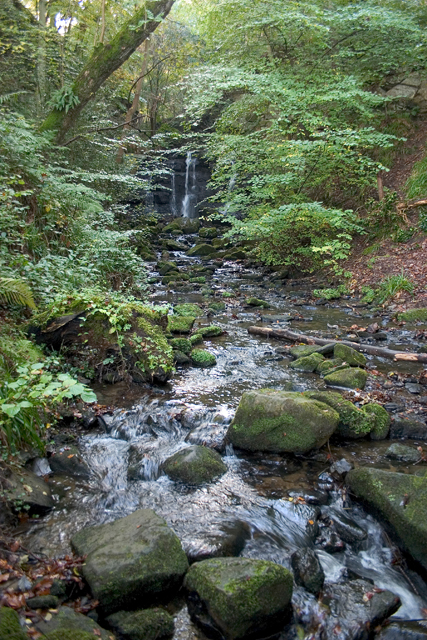
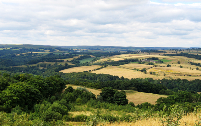
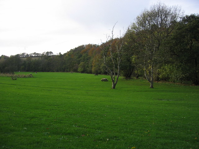
Birks Wood, located in Durham, is a picturesque forested area that spans across approximately 30 acres of land. Situated within the North East of England, this woodland is renowned for its natural beauty and diverse range of flora and fauna.
The wood is predominantly made up of deciduous trees, including oak, birch, and beech, which provide a dense canopy that offers shade and shelter to the forest floor. This creates a tranquil and serene atmosphere, making it the perfect place for nature lovers and hikers to explore.
Birks Wood boasts a network of well-maintained footpaths that wind through the forest, providing visitors with the opportunity to discover its hidden treasures. As you stroll along these pathways, you may encounter a variety of wildlife, such as deer, squirrels, and a wide array of bird species, including woodpeckers and owls.
In addition to its natural beauty, Birks Wood also holds historical significance. The area has evidence of human habitation dating back to the Roman period, with remnants of ancient settlements and burial mounds found within its boundaries. These archaeological features make the wood an intriguing destination for history enthusiasts.
Whether you are seeking a peaceful walk in nature, a chance to observe wildlife, or an opportunity to delve into the past, Birks Wood in Durham offers a fulfilling experience for all. With its rich biodiversity and captivating history, it is truly a hidden gem waiting to be explored.
If you have any feedback on the listing, please let us know in the comments section below.
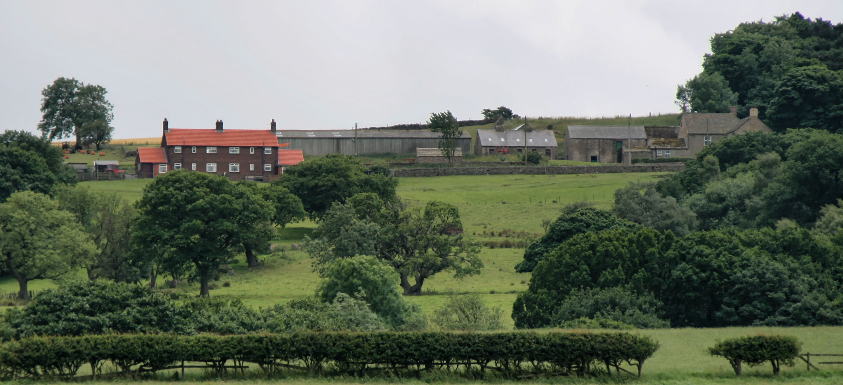
Birks Wood Images
Images are sourced within 2km of 54.833704/-1.8857782 or Grid Reference NZ0748. Thanks to Geograph Open Source API. All images are credited.


Birks Wood is located at Grid Ref: NZ0748 (Lat: 54.833704, Lng: -1.8857782)
Unitary Authority: County Durham
Police Authority: Durham
What 3 Words
///divide.darkens.digesting. Near Castleside, Co. Durham
Nearby Locations
Related Wikis

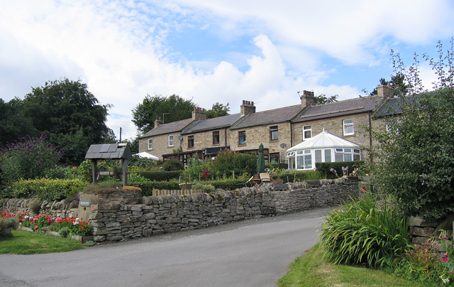
Castleside
Castleside is a village in County Durham, England. It is situated a short distance to the south-west of Consett. Castleside is covered by the civil parish...
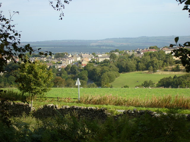
Healeyfield
Healeyfield is a village and civil parish in County Durham, England. The population of the civil parish taken from the 2011 census was 1,544. It is situated...

Consett Academy
Consett Academy is a secondary academy school in Consett, the result of a merger between Consett Community Sports College and Moorside Community Technology...

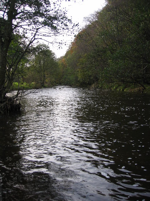
Allensford
Allensford is a small country park and hamlet in County Durham, in England. It is on the River Derwent, about 2 miles SW of Consett, and 1 mile north...
Rowley railway station (England)
Rowley railway station served the hamlet of Rowley and the village of Castleside in County Durham, England from 1845 to 1966 on the Derwent Railway....
Horsleyhope
Horsleyhope is a village in County Durham, England. It is situated a few miles to the south-west of Consett. == References ==
Derwent Gorge and Horsleyhope Ravine
Derwent Gorge and Horsleyhope Ravine is a Site of Special Scientific Interest in the Derwentside district of north County Durham and the Tynedale district...

Hownsgill Viaduct
The Hownsgill Viaduct (in some sources called Hownes Gill Viaduct and locally called the Gill bridge) is a former railway bridge located west of Consett...
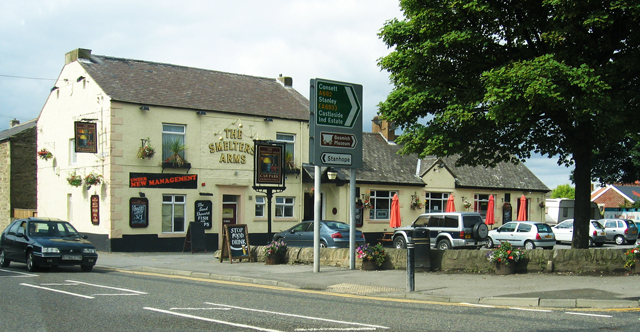
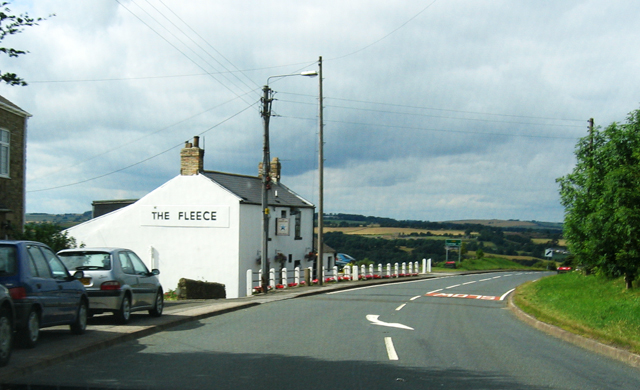
Nearby Amenities
Located within 500m of 54.833704,-1.8857782Have you been to Birks Wood?
Leave your review of Birks Wood below (or comments, questions and feedback).