Bottom Common

Wood, Forest in Staffordshire Staffordshire Moorlands

England

Bottom Common

Direction Sign – Signpost on Ramshorn Road, Ramshorn Located on the west side of the junction of Ramshorn Road and Ribden Road in Ramshorn parish. 3 arms and flat pawn finial.

Milestone Society National ID: ST_SK0845
Direction Sign – Signpost on Ramshorn Road, Ramshorn Credit: T Jenkinson

Bottom Common is a picturesque woodland area located in Staffordshire, England. Spread over a vast expanse, this forest is renowned for its natural beauty and diverse wildlife. The common is situated near the village of Wood, providing a peaceful and serene environment for visitors to enjoy.

The forest is characterized by its dense canopy cover, composed mainly of deciduous trees such as oak, beech, and birch. This creates a rich and vibrant ecosystem, supporting an array of flora and fauna. The forest floor is adorned with a carpet of wildflowers, adding bursts of color to the landscape during the spring and summer months.

Bottom Common is a haven for wildlife enthusiasts, as it is home to a wide variety of animal species. Visitors can spot elusive creatures such as deer, foxes, badgers, and rabbits, as well as a multitude of bird species including owls, woodpeckers, and songbirds.

The common offers several walking trails and footpaths, allowing visitors to explore the forest at their own pace. These paths wind their way through the woodland, offering stunning views of the surrounding countryside and providing opportunities for nature photography and birdwatching.

Bottom Common is not only a popular destination for nature lovers but also serves as an important conservation area. It is managed by local authorities to preserve its natural beauty and protect its wildlife population. The common also hosts educational programs and guided tours, allowing visitors to learn more about the unique ecology and history of the area.

In summary, Bottom Common in Staffordshire is a remarkable woodland area that offers a tranquil retreat for nature enthusiasts. With its abundant wildlife, breathtaking scenery, and well-maintained trails, it is a must-visit destination for anyone seeking to connect with the natural world.

If you have any feedback on the listing, please let us know in the comments section below.

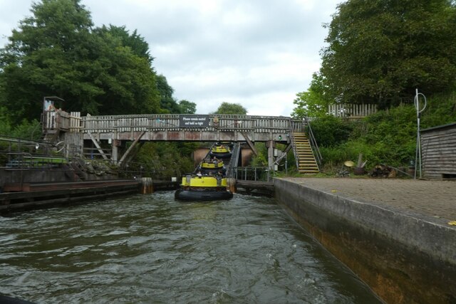
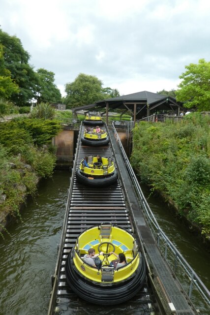
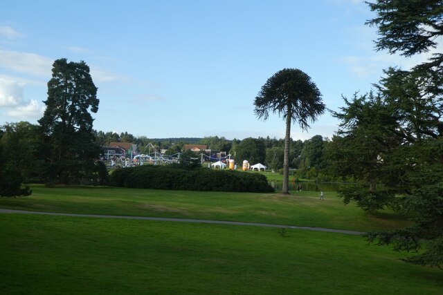
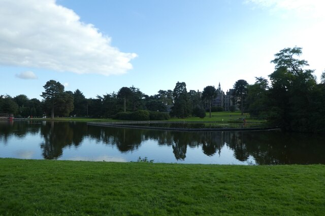
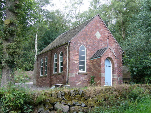
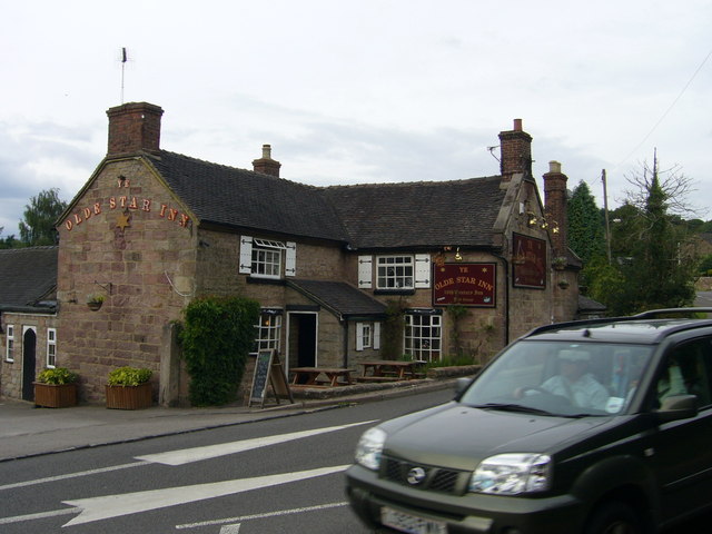
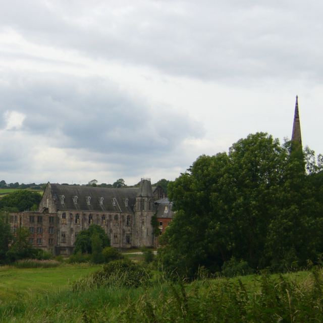
Bottom Common Images

Images are sourced within 2km of 53.005289/-1.8912771 or Grid Reference SK0745. Thanks to Geograph Open Source API. All images are credited.

Direction Sign – Signpost on Ramshorn Road, Ramshorn Located on the west side of the junction of Ramshorn Road and Ribden Road in Ramshorn parish. 3 arms and flat pawn finial.

Milestone Society National ID: ST_SK0845
Direction Sign – Signpost on Ramshorn Road, Ramshorn
Located on the west side of the junction of Ramshorn Road and Ribden Road in Ramshorn parish. 3 arms and flat pawn finial. Milestone Society National ID: ST_SK0845
Coach park at Alton Towers Looking across the coach park area.
Coach park at Alton Towers
Looking across the coach park area.
Entrance to Alton Towers Looking towards a section of roller-coaster track.
Entrance to Alton Towers
Looking towards a section of roller-coaster track.
Wicker Man rollercoaster Looking towards part of the Wickerman Rollercoaster at Alton Towers.
Wicker Man rollercoaster
Looking towards part of the Wickerman Rollercoaster at Alton Towers.
Rapids at Alton Towers Looking towards the end of The Rapids attraction, with the lift to bring the boats back to the start.
Rapids at Alton Towers
Looking towards the end of The Rapids attraction, with the lift to bring the boats back to the start.
Boat lift to the start Looking along the conveyor lifting the rapids boats back to the start of the ride.
Boat lift to the start
Looking along the conveyor lifting the rapids boats back to the start of the ride.
Towards the boating lake Looking across part of Alton Towers.
Towards the boating lake
Looking across part of Alton Towers.
Boating lake and house Looking across the lake towards the main house at Alton Towers.
Boating lake and house
Looking across the lake towards the main house at Alton Towers.
Octoberfest Looking across the grassy area beside the boating lake being used as an Octoberfest area.
Octoberfest
Looking across the grassy area beside the boating lake being used as an Octoberfest area.
Towards the courtyard Looking along a path beside the boating lake at Alton Towers.
Towards the courtyard
Looking along a path beside the boating lake at Alton Towers.
Towers Street Looking along Towers Street from the entrance to Alton Towers.
Towers Street
Looking along Towers Street from the entrance to Alton Towers.
Corkscrew remains, Alton Towers
CBeebies Land, Alton Towers
Oblivion, Alton Towers Popular destination for school trips from all over UK even from Central Scotland. Photo shows one of major rides which I for one would not go on!!
Oblivion, Alton Towers
Popular destination for school trips from all over UK even from Central Scotland. Photo shows one of major rides which I for one would not go on!!
The lake, Alton Towers
Ramsor Chapel almost hidden in the woods. The map calls the place Ramshorn but this page <span class="nowrap"><a title="http://www.rewlach.org.uk/Ramsor/index.html" rel="nofollow ugc noopener" href="http://www.rewlach.org.uk/Ramsor/index.html">Link</a><img style="margin-left:2px;" alt="External link" title="External link - shift click to open in new window" src="https://s1.geograph.org.uk/img/external.png" width="10" height="10"/></span> about the chapel probably draws on original minute books and other Methodist documents and calls it Ramsor. The lonzenge-shaped stone on the gable reads: "Jubilee Primitive Methodist Chapel June 1897" (Queen Victoria's Diamond Jubilee).
Ramsor Chapel
almost hidden in the woods. The map calls the place Ramshorn but this page LinkExternal link about the chapel probably draws on original minute books and other Methodist documents and calls it Ramsor. The lonzenge-shaped stone on the gable reads: "Jubilee Primitive Methodist Chapel June 1897" (Queen Victoria's Diamond Jubilee).
Ye Olde Star Inn a 16th century inn in Star Bank, Cotton, Staffordshire
Ye Olde Star Inn
a 16th century inn in Star Bank, Cotton, Staffordshire
Cotton College Cotton Lane, Cotton, Staffordshire. This Roman Catholic boarding school <span class="nowrap"><a title="http://www.cottoncollege.co.uk/" rel="nofollow ugc noopener" href="http://www.cottoncollege.co.uk/">Link</a><img style="margin-left:2px;" alt="External link" title="External link - shift click to open in new window" src="https://s1.geograph.org.uk/img/external.png" width="10" height="10"/></span> closed in 1987. The buildings are derelict. The spire on the right is St Wilfred's Roman Catholic Church which is still in use.
Cotton College
Cotton Lane, Cotton, Staffordshire. This Roman Catholic boarding school LinkExternal link closed in 1987. The buildings are derelict. The spire on the right is St Wilfred's Roman Catholic Church which is still in use.
Show me another place!

Bottom Common is located at Grid Ref: SK0745 (Lat: 53.005289, Lng: -1.8912771)

Administrative County: Staffordshire

District: Staffordshire Moorlands

Police Authority: Staffordshire

What 3 Words

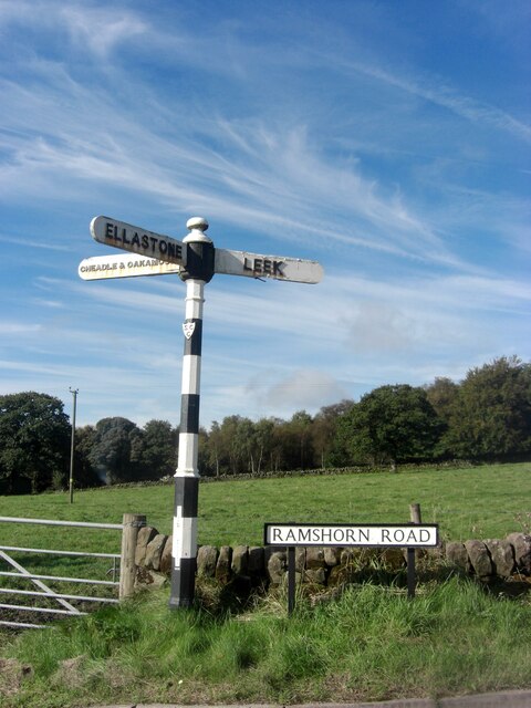
///reacting.initiates.shifts. Near Cheadle, Staffordshire

Related Wikis

Ramshorn

The tiny hamlet of Ramsor (Methodist spelling) in North Staffordshire played a significant part in the origins of Primitive Methodism. Listed in the Domesday...

Cotton, Staffordshire

Cotton is a village and civil parish in Staffordshire, England. It is about 5 miles (8.0 km) north-east of Cheadle. Cotton Hall, originally built in the...

Cotton College

Cotton College was a Roman Catholic boarding school in Cotton, Staffordshire, United Kingdom. It was also known as Saint Wilfrid's College. The school...

Cotton Dell

Cotton Dell is a nature reserve of the Staffordshire Wildlife Trust. It is a wooded valley area near the village of Cotton and about 0.5 miles (0.8 km...

Ripsaw (Alton Towers)

Ripsaw was a Top Spin ride at Alton Towers theme park in Staffordshire, England. It opened in 1997 and closed at the end of 2015. == History == The ride...

Runaway Mine Train (Alton Towers)

The Runaway Mine Train is a powered steel roller coaster made by MACK Rides of Germany. The ride is located in the Katanga Canyon area of Alton Towers...

Beastie (Alton Towers)

Beastie was a steel family roller coaster made by Pinfari of Italy. The coaster was located in the Adventure Land area of Alton Towers in Staffordshire...

Submission (Alton Towers)

Submission was a theme park ride at Alton Towers in Staffordshire, England from 2001 until 2013. It was a Chance Rides double swinging inverter. ��2...

Nearby Amenities

Located within 500m of 53.005289,-1.8912771
Barrier: cattle_grid
Lat/Long: 53.0020478/-1.8933643
Barrier: cattle_grid
Lat/Long: 53.0044188/-1.8967245
Barrier: kissing_gate
Source: survey
Lat/Long: 53.0049823/-1.895369
Barrier: kissing_gate
Source: survey
Lat/Long: 53.0050197/-1.896229
Barrier: stile
Source: survey
Lat/Long: 53.0051312/-1.8888681
Barrier: stile
Source: survey
Lat/Long: 53.0052373/-1.8942542
Barrier: stile
Source: survey
Lat/Long: 53.0052755/-1.8946509
Barrier: stile
Source: survey
Lat/Long: 53.0055762/-1.8950737
Barrier: kissing_gate
Lat/Long: 53.0072243/-1.8976758
Barrier: stile
Stile: stepover
Lat/Long: 53.0070547/-1.8978065
Barrier: cattle_grid
Lat/Long: 53.0043156/-1.8955292
Barrier: cattle_grid
Lat/Long: 53.0036786/-1.8957289
Barrier: cattle_grid
Lat/Long: 53.0020761/-1.8886193
The data included in this document is from www.openstreetmap.org. The data is made available under ODbL.

Have you been to Bottom Common?

Leave your review of Bottom Common below (or comments, questions and feedback).