Sayer's Plantation

Wood, Forest in Durham

England

Sayer's Plantation

The valley of Arn Gill For most of its five kilometre course down to Copley, Arn Gill is a tiny misfit stream in a Glacial Outwash Channel incised 20m into the gently sloping moorland south of Langleydale Common. For a short stretch here, it widens out before becoming constricted again, with almost no tributaries, just round the bend. The widening has been utilised to dam a series of ponds, whether deliberately to attract wildfowl (for shooting) is not clear, but ducks seem to be here in some numbers. The track ahead (and directly behind the photographer) is not itself a right of way, and seems to be associated with a number of old mine tips over a kilometre of the valley. It is crossed just upstream by a public footpath, dropping down from Hill House to the north, and climbing again as it heads (rather indistinctly) for Sadler Lane to the south.
The valley of Arn Gill Credit: Andy Waddington

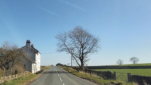
Sayer's Plantation is a picturesque woodland located in Durham, England. Covering a vast area, it is renowned for its lush greenery, diverse flora, and tranquil surroundings. The plantation primarily consists of a dense forest, offering a serene escape from the hustle and bustle of city life.

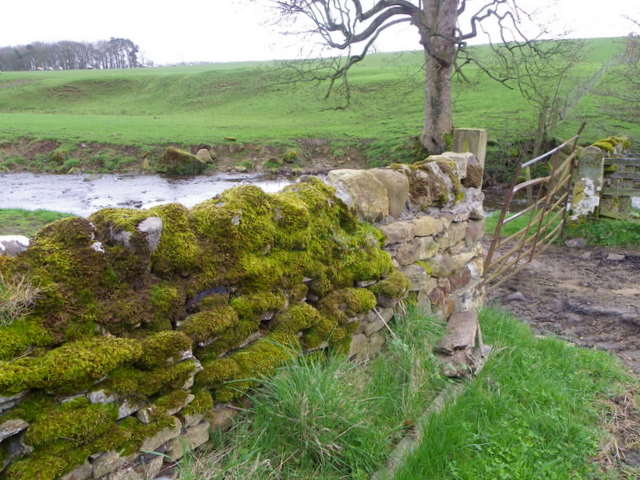
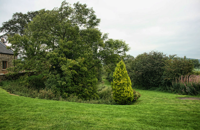
The woodland is known for its rich biodiversity, housing a wide range of plant and animal species. Towering oak and beech trees dominate the landscape, creating a majestic canopy that provides shade on sunny days. The forest floor is adorned with a carpet of wildflowers, including bluebells, primroses, and foxgloves, adding a burst of color to the scenery.

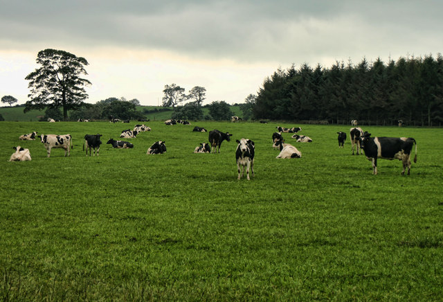
Sayer's Plantation is a haven for nature enthusiasts and birdwatchers. It is home to various avian species, including woodpeckers, owls, and thrushes. The plantation also attracts migratory birds during certain seasons, making it an ideal spot for birdwatching enthusiasts.

Visitors can explore the plantation through a network of well-maintained walking trails. These paths wind through the forest, offering opportunities to observe wildlife and enjoy the beauty of the surroundings. The plantation also features picnic areas, where visitors can relax and soak in the peaceful ambiance.

Maintained by local authorities, Sayer's Plantation offers a range of recreational activities. These include guided nature walks, educational programs, and photography workshops. The woodland is open to the public throughout the year, providing a serene retreat for nature lovers and an escape into the beauty of Durham's natural landscape.

If you have any feedback on the listing, please let us know in the comments section below.

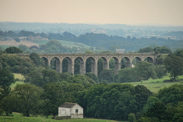
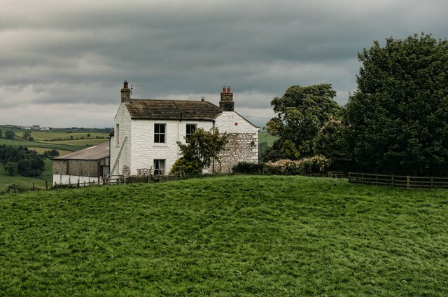
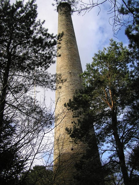
Sayer's Plantation Images

Images are sourced within 2km of 54.602319/-1.8871838 or Grid Reference NZ0723. Thanks to Geograph Open Source API. All images are credited.

The valley of Arn Gill For most of its five kilometre course down to Copley, Arn Gill is a tiny misfit stream in a Glacial Outwash Channel incised 20m into the gently sloping moorland south of Langleydale Common. For a short stretch here, it widens out before becoming constricted again, with almost no tributaries, just round the bend. The widening has been utilised to dam a series of ponds, whether deliberately to attract wildfowl (for shooting) is not clear, but ducks seem to be here in some numbers. The track ahead (and directly behind the photographer) is not itself a right of way, and seems to be associated with a number of old mine tips over a kilometre of the valley. It is crossed just upstream by a public footpath, dropping down from Hill House to the north, and climbing again as it heads (rather indistinctly) for Sadler Lane to the south.
The valley of Arn Gill
For most of its five kilometre course down to Copley, Arn Gill is a tiny misfit stream in a Glacial Outwash Channel incised 20m into the gently sloping moorland south of Langleydale Common. For a short stretch here, it widens out before becoming constricted again, with almost no tributaries, just round the bend. The widening has been utilised to dam a series of ponds, whether deliberately to attract wildfowl (for shooting) is not clear, but ducks seem to be here in some numbers. The track ahead (and directly behind the photographer) is not itself a right of way, and seems to be associated with a number of old mine tips over a kilometre of the valley. It is crossed just upstream by a public footpath, dropping down from Hill House to the north, and climbing again as it heads (rather indistinctly) for Sadler Lane to the south.
Inadequately maintained stile The public footpath is clearly not a popular and well-used one, as it is barely discernible on the ground. Perhaps that is at least in part related to this appalling piece of failure to maintain the right of way. Having a public footpath on your land is a privilege and an honour, not to be abused by such flagrant obstruction. Had I happened to have my fencing tool with me, I would undoubtedly have removed the top strand of barbed wire, and if the dog had not managed to squeeze underneath (it took considerable persuasion) one could be forgiven for taking out the whole piece of fence. People who are so lazy, cheapskate and inconsiderate as to not maintain a stile in good condition deserve to lose their livestock, if only into another field.
Inadequately maintained stile
The public footpath is clearly not a popular and well-used one, as it is barely discernible on the ground. Perhaps that is at least in part related to this appalling piece of failure to maintain the right of way. Having a public footpath on your land is a privilege and an honour, not to be abused by such flagrant obstruction. Had I happened to have my fencing tool with me, I would undoubtedly have removed the top strand of barbed wire, and if the dog had not managed to squeeze underneath (it took considerable persuasion) one could be forgiven for taking out the whole piece of fence. People who are so lazy, cheapskate and inconsiderate as to not maintain a stile in good condition deserve to lose their livestock, if only into another field.
Chapel House
Chapel House
Pearson House Farm
Pearson House Farm
Entrance to Gawen House Farm
Wall near Langley Beck Moss is a small green plant, rarely more than a few inches high, which grows anywhere not overshadowed by taller vegetation or perpetually dry.  There are more than 600 species in the British Isles, growing on rocks and walls, in woodlands and on tree trunks and branches.  They are important pioneers of rock surfaces, holding moisture in their leaves and building up humus in which the seeds of flowering plants can germinate.

There are two alternating generations in the life cycle of moss.  The plant itself carries male and female organs.  After fertilisation, these produce a capsule.  Stalk and capsule together form an asexual, spore-bearing generation.  The spores produced are capable of germinating into a new plant.  Mosses also reproduce vegetatively, by small pieces breaking off and growing into a new plant.

As they are rootless and tend to get their nutrients from water running over or through them they are nearly always short.
Wall near Langley Beck
Moss is a small green plant, rarely more than a few inches high, which grows anywhere not overshadowed by taller vegetation or perpetually dry. There are more than 600 species in the British Isles, growing on rocks and walls, in woodlands and on tree trunks and branches. They are important pioneers of rock surfaces, holding moisture in their leaves and building up humus in which the seeds of flowering plants can germinate. There are two alternating generations in the life cycle of moss. The plant itself carries male and female organs. After fertilisation, these produce a capsule. Stalk and capsule together form an asexual, spore-bearing generation. The spores produced are capable of germinating into a new plant. Mosses also reproduce vegetatively, by small pieces breaking off and growing into a new plant. As they are rootless and tend to get their nutrients from water running over or through them they are nearly always short.
Langley Beck near Kinninvie Looking downstream.

Sheep graze in the adjacent field and a tractor appears to drive down the stream to fill the hay rack.
Langley Beck near Kinninvie
Looking downstream. Sheep graze in the adjacent field and a tractor appears to drive down the stream to fill the hay rack.
Langley Beck near Kinninvie Looking upstream.
Langley Beck near Kinninvie
Looking upstream.
Sheep by Langley Beck It must be the time of year because as soon as you appear at a gate sheep rush over in the hope of being fed.
Sheep by Langley Beck
It must be the time of year because as soon as you appear at a gate sheep rush over in the hope of being fed.
Drystone walls near Copley Drystone walls are built without mortar, and their stability – they can stand for 200 years – is due to the skill of the craftsmen who place rough boulders and angular stones together.

Many drystone walls were constructed as part of the enclosure of open grazing. They were especially useful in areas too exposed for hedgerows to survive and where stones were readily available.

Most drystone walls are wider at the base than at the crown, and are often capped with coping stones. A typical wall has two outer layers of large, flattish stones enclosing an inner ‘heart’ of smaller, rounder stones. Often it is reinforced with ‘through bands’ of even larger, flat stones which can also be used as stiles.

The very dryness of a wall makes it more likely to endure wind and frost and to act as shelter for livestock as well as a boundary.
Drystone walls near Copley
Drystone walls are built without mortar, and their stability – they can stand for 200 years – is due to the skill of the craftsmen who place rough boulders and angular stones together. Many drystone walls were constructed as part of the enclosure of open grazing. They were especially useful in areas too exposed for hedgerows to survive and where stones were readily available. Most drystone walls are wider at the base than at the crown, and are often capped with coping stones. A typical wall has two outer layers of large, flattish stones enclosing an inner ‘heart’ of smaller, rounder stones. Often it is reinforced with ‘through bands’ of even larger, flat stones which can also be used as stiles. The very dryness of a wall makes it more likely to endure wind and frost and to act as shelter for livestock as well as a boundary.
Gawen House Gawen House Farm seen from Moor Lane.
Gawen House
Gawen House Farm seen from Moor Lane.
Marwood Lodge Trackbed of the dismantled Darlington to Kirkby Stephen Railway at Marwood Lodge on the B6279.
Marwood Lodge
Trackbed of the dismantled Darlington to Kirkby Stephen Railway at Marwood Lodge on the B6279.
Hillingdon Fields on Hillingdon Farm.
Hillingdon
Fields on Hillingdon Farm.
Sadler Lane Fields alongside Sadler Lane seen from Moor Lane.
Sadler Lane
Fields alongside Sadler Lane seen from Moor Lane.
Langley Viaduct Langley Viaduct seen from Billy Lane near Moory Lea.
See also <a href="https://www.geograph.org.uk/photo/1911191">NZ0622 : Langley Viaduct</a>.
Langley Viaduct
Langley Viaduct seen from Billy Lane near Moory Lea. See also NZ0622 : Langley Viaduct.
Strickland Park House at Strickland Park.
Strickland Park
House at Strickland Park.
Burfoot Leazes The farm at Burfoot Leazes from the south at a forest road on the north side of Arn Gill.
Burfoot Leazes
The farm at Burfoot Leazes from the south at a forest road on the north side of Arn Gill.
Estate/farm road with elongated bank of mine spoil The road runs at the edge of woodland lining the north side of the trough Arn Gill. The elongated mound is probably just mine spoil - there was small scale coal mining in the area. Recently the bank has been cut through in a number of places, including immediately in front of the camera position. That apparently is an attempt by the estate to allow water to drain more readily from the road.
Estate/farm road with elongated bank of mine spoil
The road runs at the edge of woodland lining the north side of the trough Arn Gill. The elongated mound is probably just mine spoil - there was small scale coal mining in the area. Recently the bank has been cut through in a number of places, including immediately in front of the camera position. That apparently is an attempt by the estate to allow water to drain more readily from the road.
Show me another place!

Sayer's Plantation is located at Grid Ref: NZ0723 (Lat: 54.602319, Lng: -1.8871838)

Unitary Authority: County Durham

Police Authority: Durham

What 3 Words

///companies.blizzard.dairies. Near Cockfield, Co. Durham

Related Wikis

Copley, County Durham

Copley is a village of roughly 400 inhabitants in County Durham, England. It is situated 9 miles west of Bishop Auckland, and 6 miles from Barnard Castle...

Kinninvie

Kinninvie is a hamlet in County Durham, England. It is situated to the north of Barnard Castle. Kinninvie is in the civil parish of Marwood.The name Kinninvie...

Woodland, County Durham

Woodland is a rural village in County Durham, England. It is situated 1100 feet above sea level, a few miles to the north of Barnard Castle, and west of...

Marwood, County Durham

Marwood is a civil parish in County Durham, England. It had a population of 529 at the 2011 Census. == History == Marwood was a township in Gainford parish...

Nearby Amenities

Located within 500m of 54.602319,-1.8871838
Power: tower
Lat/Long: 54.6022939/-1.8799243
Power: tower
Lat/Long: 54.6013083/-1.8824951
Power: tower
Lat/Long: 54.5998013/-1.8864256
The data included in this document is from www.openstreetmap.org. The data is made available under ODbL.

Have you been to Sayer's Plantation?

Leave your review of Sayer's Plantation below (or comments, questions and feedback).