Littleton Coppice
Wood, Forest in Worcestershire Wychavon
England
Littleton Coppice

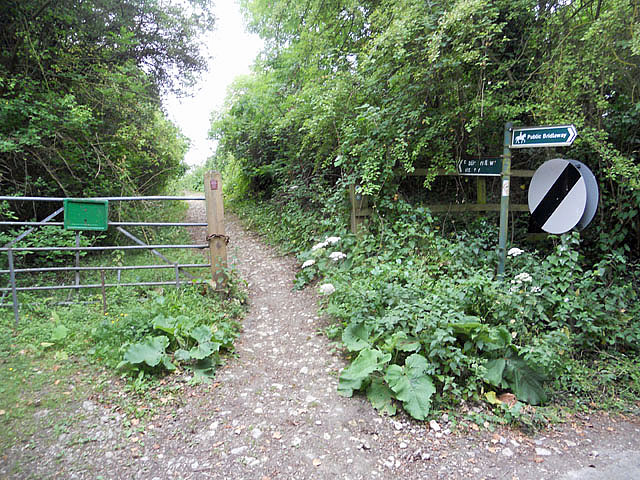
Littleton Coppice, located in Worcestershire, England, is a picturesque woodland area that spans approximately 200 acres. It is situated near the village of Littleton and is part of the larger county of Worcestershire. The coppice is known for its natural beauty and tranquil atmosphere, attracting visitors from both near and far.
The woodland consists mainly of oak and ash trees, with a diverse range of other tree species interspersed throughout. The dense canopy provides a haven for various wildlife, including squirrels, birds, and woodland insects. The forest floor is covered in a carpet of ferns, mosses, and wildflowers, creating a vibrant and enchanting undergrowth.
Walking trails wind their way through the coppice, allowing visitors to explore the area and immerse themselves in nature. These trails offer breathtaking views of the surrounding countryside, making it a popular spot for nature enthusiasts, hikers, and photographers.
Littleton Coppice is also rich in historical significance. It is believed to have been a source of timber for local industries in the past, and remnants of old charcoal kilns have been discovered within the woodland. These remnants serve as a reminder of the coppice's industrial past and add an element of intrigue to the area.
Overall, Littleton Coppice in Worcestershire is a haven of natural beauty, offering visitors a chance to escape the hustle and bustle of everyday life. With its diverse flora and fauna, serene atmosphere, and historical significance, it is a must-visit destination for anyone seeking a peaceful retreat in the heart of nature.
If you have any feedback on the listing, please let us know in the comments section below.
Littleton Coppice Images
Images are sourced within 2km of 52.133099/-1.8945326 or Grid Reference SP0748. Thanks to Geograph Open Source API. All images are credited.


Littleton Coppice is located at Grid Ref: SP0748 (Lat: 52.133099, Lng: -1.8945326)
Administrative County: Worcestershire
District: Wychavon
Police Authority: West Mercia
What 3 Words
///presumes.connects.bottled. Near South Littleton, Worcestershire
Nearby Locations
Related Wikis
Harvington railway station
Harvington railway station was a station in Harvington, Worcestershire, England. The station was opened on 17 September 1866, train services were withdrawn...
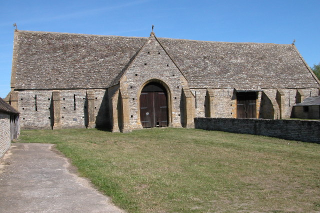
Middle Littleton Tythe Barn
Middle Littleton Tythe Barn, also known as Middle Littleton Tithe Barn, is a grade I listed 13th or 14th-century tithe barn in the village of Middle Littleton...
North and Middle Littleton
North and Middle Littleton is a civil parish located in the Wychavon district of Worcestershire, England. The parish comprises the villages of North Littleton...

Cleeve Prior
Cleeve Prior is a village in the Vale of Evesham Worcestershire, England. It is situated five miles north-east of Evesham. There are many picturesque houses...

Abbot's Salford
Abbot's Salford is the name of a village in the English county of Warwickshire. It is found six miles south of Alcester, about the same distance from Evesham...
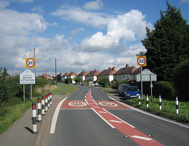
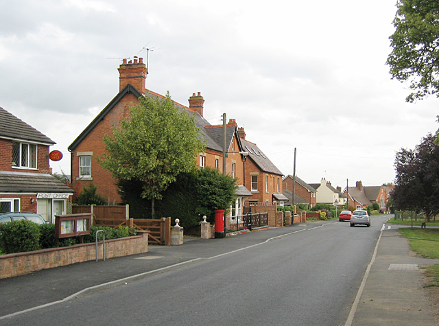
South Littleton
South Littleton is a village and civil parish located in the Wychavon district of Worcestershire, England. South Littleton is located midway between Evesham...
Harvington
Harvington is a village near Evesham in Worcestershire, England. Bounded by the River Avon to the south and the Lench Hills to the north, three miles northeast...

Littleton F.C.
Littleton Football Club is a football club based in North and Middle Littleton, near Evesham, Worcestershire. They are members of the Midland League Division...
Nearby Amenities
Located within 500m of 52.133099,-1.8945326Have you been to Littleton Coppice?
Leave your review of Littleton Coppice below (or comments, questions and feedback).