Backhouse Hill Wood

Wood, Forest in Durham

England

Backhouse Hill Wood

Forest clearing at the Grove In Hamsterley Forest.
Forest clearing at the Grove Credit: Oliver Dixon

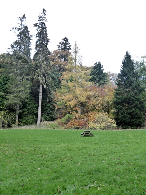
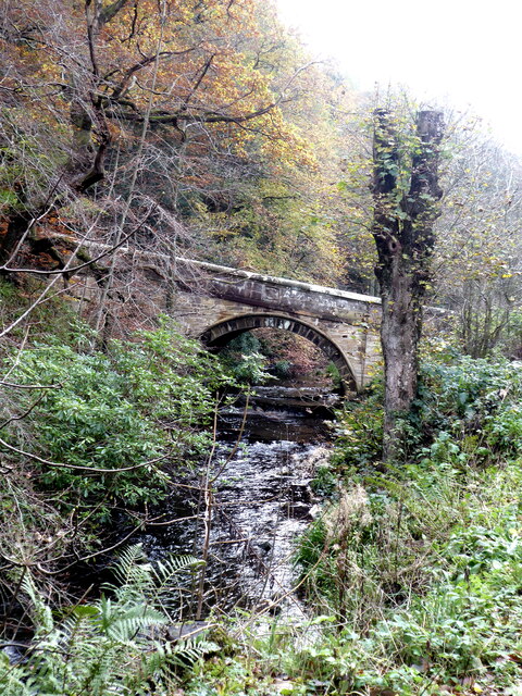
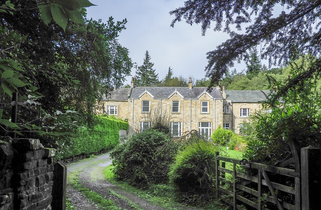
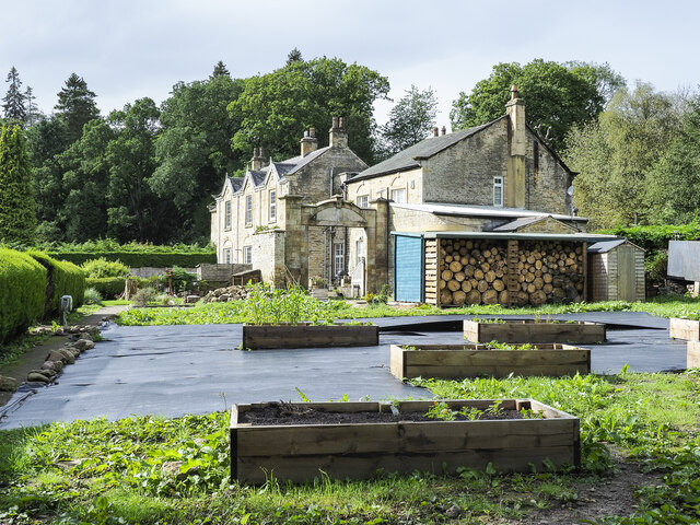
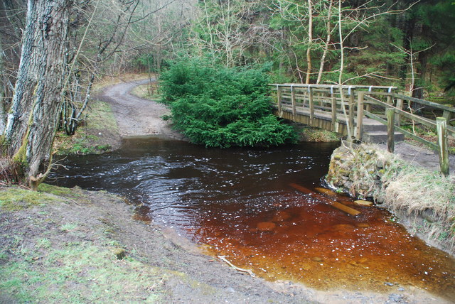
Backhouse Hill Wood is a picturesque woodland located in Durham, England. Covering an area of approximately 50 acres, this enchanting forest is situated on a hillside, providing stunning panoramic views of the surrounding countryside.

The wood is predominantly composed of a mixture of broadleaf trees, including oak, beech, and birch. These majestic trees create a dense canopy that provides a habitat for a rich variety of flora and fauna. Bluebells carpet the forest floor in spring, creating a vibrant burst of color, while ferns and mosses thrive in the damp and shaded areas.

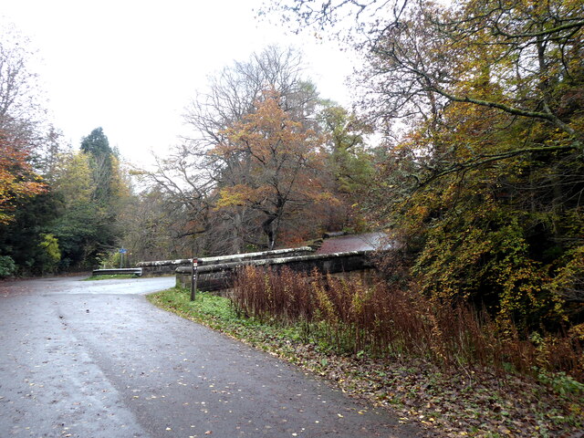
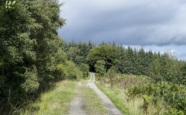
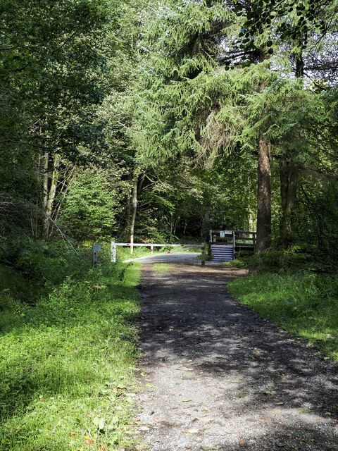
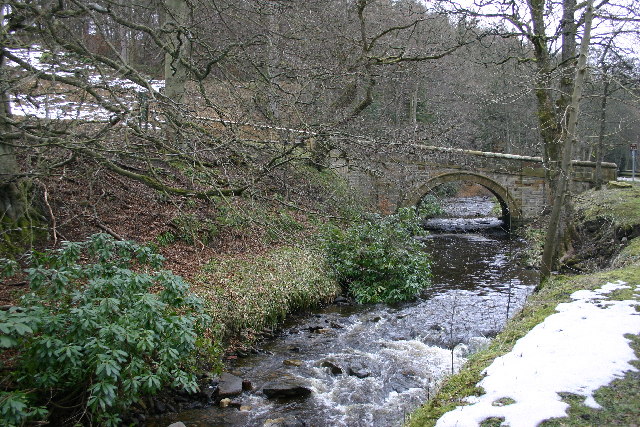
A network of well-maintained footpaths winds its way through Backhouse Hill Wood, allowing visitors to explore and appreciate the natural beauty of the area. These paths lead to viewpoints and clearings, where visitors can pause and take in the breathtaking vistas.

The wood is also home to a diverse array of wildlife. Birdwatchers can spot species such as woodpeckers, owls, and nuthatches, while small mammals like squirrels and rabbits can be seen darting among the undergrowth. More elusive creatures, such as deer and foxes, occasionally make an appearance, adding a touch of mystery to the woodland experience.

Backhouse Hill Wood is a popular destination for nature lovers, hikers, and families looking for a tranquil escape from the hustle and bustle of everyday life. Its serene atmosphere and natural beauty make it an ideal place for relaxation, exploration, and reconnecting with nature.

If you have any feedback on the listing, please let us know in the comments section below.

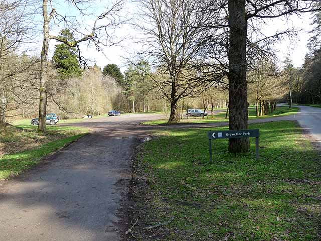
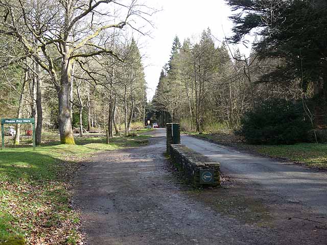
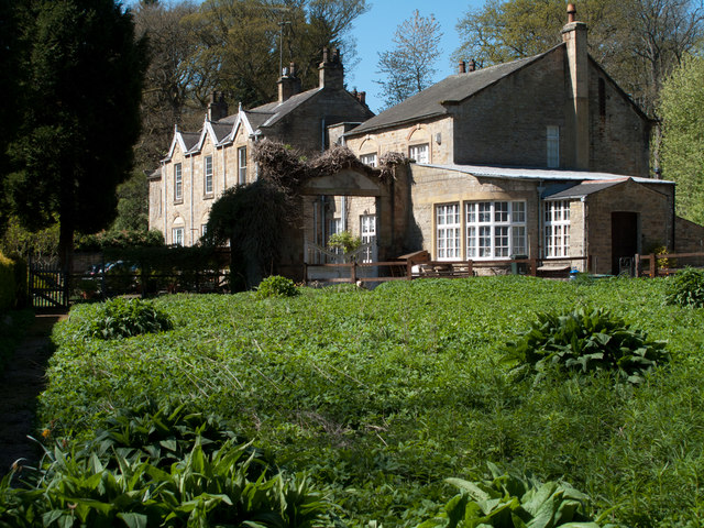
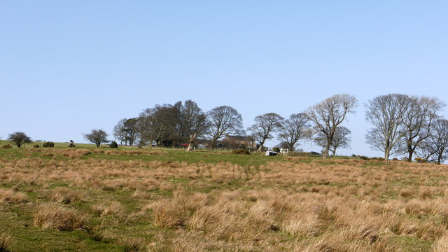
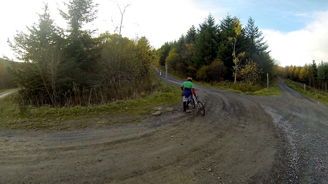
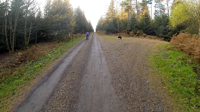
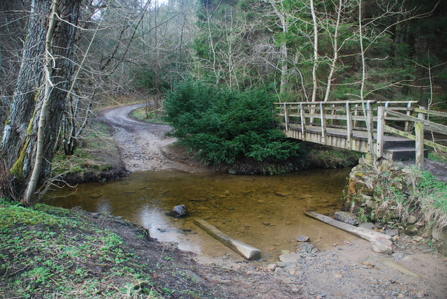
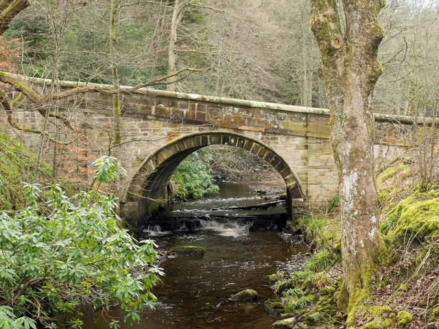
Backhouse Hill Wood Images

Images are sourced within 2km of 54.67194/-1.8881698 or Grid Reference NZ0730. Thanks to Geograph Open Source API. All images are credited.

Forest clearing at the Grove In Hamsterley Forest.
Forest clearing at the Grove
In Hamsterley Forest.
Bridge over the Spurlswood Beck The bridge carries the road which links the Grove to Windy Bank Road.
Bridge over the Spurlswood Beck
The bridge carries the road which links the Grove to Windy Bank Road.
Bridge over Spurlswood Beck The bridge carries the road which links the Grove up to Windy Bank Road.
Bridge over Spurlswood Beck
The bridge carries the road which links the Grove up to Windy Bank Road.
The Grove Large house in the depths of Hamsterley Forest. Until recently operating as a bed and breakfast business.
The Grove
Large house in the depths of Hamsterley Forest. Until recently operating as a bed and breakfast business.
The Grove Until 1927 The Grove was the property of the Surtees family which also owned the surrounding estate until it was sold to the Forestry Commission which then developed Hamsterley Forest over the land. The house is currently (2023) in a number of separate apartments, some or all of which are available as holiday lets.
The Grove
Until 1927 The Grove was the property of the Surtees family which also owned the surrounding estate until it was sold to the Forestry Commission which then developed Hamsterley Forest over the land. The house is currently (2023) in a number of separate apartments, some or all of which are available as holiday lets.
Gardens at The Grove The Grove and the Redford estate about it was the property of the Surtees family; it was sold in 1927 to the Forestry Commission. The house is currently (2023) divided into apartments. This garden is to the north of the house and appears to be more constructively cultivated than it was in  2011 - <a title="https://www.geograph.org.uk/photo/2388065" href="https://www.geograph.org.uk/photo/2388065">Link</a> .
Gardens at The Grove
The Grove and the Redford estate about it was the property of the Surtees family; it was sold in 1927 to the Forestry Commission. The house is currently (2023) divided into apartments. This garden is to the north of the house and appears to be more constructively cultivated than it was in 2011 - Link .
Forest road approaching junction The road is part of a named pedestrian route in Hamsterley Forest, the Spurlswood Walk. The road to be joined is a much more robust affair, built to take heavy forestry traffic.
Forest road approaching junction
The road is part of a named pedestrian route in Hamsterley Forest, the Spurlswood Walk. The road to be joined is a much more robust affair, built to take heavy forestry traffic.
Barrier across forest road The road in Hamsterley Forest runs adjacent to Spurlswood Beck and is used in the named walking route, Spurlswood Walk.
The road used to be motorable by the public on payment of a toll. OS maps on line still name the way as a toll road and even as an 'Ornamental Drive', but motoring over it is now not allowed and the barrier prevents it.
Barrier across forest road
The road in Hamsterley Forest runs adjacent to Spurlswood Beck and is used in the named walking route, Spurlswood Walk. The road used to be motorable by the public on payment of a toll. OS maps on line still name the way as a toll road and even as an 'Ornamental Drive', but motoring over it is now not allowed and the barrier prevents it.
Grove Car Park Hamsterley Forest Not many takers at this central car park in Hamsterley Forest on this blustery spring day, but the very size of the car park indicates that it is very popular at the height of summer.
Grove Car Park Hamsterley Forest
Not many takers at this central car park in Hamsterley Forest on this blustery spring day, but the very size of the car park indicates that it is very popular at the height of summer.
Toll point on the Hamsterley Forest Drive A very popular excursion for motorists in the summer.
Toll point on the Hamsterley Forest Drive
A very popular excursion for motorists in the summer.
Grove House, Hamsterley Forest Grove House and the Redford estate about it was the property of the Surtees family. The estate was sold in 1927 for £15 000 to the Forestry Commission. Grove House now seems to be in separately owned apartments.
Grove House, Hamsterley Forest
Grove House and the Redford estate about it was the property of the Surtees family. The estate was sold in 1927 for £15 000 to the Forestry Commission. Grove House now seems to be in separately owned apartments.
Marginal farmland below Mayland Hall Mayland Hall lies on the northern slope of the shallow valley of the Linburn Beck south of Hamsterley Forest in County Durham. The rush-dominated ground below the farm buildings at the hall tells of poorly drained land.
Marginal farmland below Mayland Hall
Mayland Hall lies on the northern slope of the shallow valley of the Linburn Beck south of Hamsterley Forest in County Durham. The rush-dominated ground below the farm buildings at the hall tells of poorly drained land.
Forest junction Hamsterley forest seems to have outgrown its purpose as merely a place for growing timber and has been actively developed as a mountain biking venue in recent years (ie. the Forestry Commission are trying to make money out of it rather than just tolerating the odd biker as used to be the case twenty years ago). Many of the forest roads sport signs pointing to graded trails which either follow the roads, or wind through the forest between the roads, sometimes taking in steep and technical descents (mostly the signs are unidirectional, encouraging cyclists to climb on the wider tracks and avoiding bi-directional traffic on the narrower sporting trails).
Forest junction
Hamsterley forest seems to have outgrown its purpose as merely a place for growing timber and has been actively developed as a mountain biking venue in recent years (ie. the Forestry Commission are trying to make money out of it rather than just tolerating the odd biker as used to be the case twenty years ago). Many of the forest roads sport signs pointing to graded trails which either follow the roads, or wind through the forest between the roads, sometimes taking in steep and technical descents (mostly the signs are unidirectional, encouraging cyclists to climb on the wider tracks and avoiding bi-directional traffic on the narrower sporting trails).
Forest cycling at Hamsterley The very inconspicuous signage on the left at this junction indicates that the Red Trail turns off, on its way to find off-track descents in the woods (with names like Transmission, Accelerator and Nitrous). Our lead cyclist at this point remembered having got to those descents from a junction further up, so we ignored the turn and continued pleasantly up the main forest road, which led to the highest accessible point on the forest road system, and an interesting route down, but our exploration never reached the particular descent she had had in mind.

Despite putting a lot of effort into promoting Mountain Biking, the visitor centre didn't seem to have any trail maps to sell or give away. We've since found that these do exist, and can be downloaded on the net, but that doesn't help much when you are already in a muddy car park ! The (A4, pdf) maps aren't much use with a GPS, as they have no grid, so it's useful also to refer to mapping produced by the OSM Cycle Map project which does have some of the trails recorded (although GPS tracklogs from which OSM works are not especially accurate inside a mature forest, they are good enough to find the critical junctions).
Forest cycling at Hamsterley
The very inconspicuous signage on the left at this junction indicates that the Red Trail turns off, on its way to find off-track descents in the woods (with names like Transmission, Accelerator and Nitrous). Our lead cyclist at this point remembered having got to those descents from a junction further up, so we ignored the turn and continued pleasantly up the main forest road, which led to the highest accessible point on the forest road system, and an interesting route down, but our exploration never reached the particular descent she had had in mind. Despite putting a lot of effort into promoting Mountain Biking, the visitor centre didn't seem to have any trail maps to sell or give away. We've since found that these do exist, and can be downloaded on the net, but that doesn't help much when you are already in a muddy car park ! The (A4, pdf) maps aren't much use with a GPS, as they have no grid, so it's useful also to refer to mapping produced by the OSM Cycle Map project which does have some of the trails recorded (although GPS tracklogs from which OSM works are not especially accurate inside a mature forest, they are good enough to find the critical junctions).
Ford in Hamsterley Forest This ford on the Euden Beck is found in Hamsterley Forest.
<a title="https://www.geograph.org.uk/photo/4389453" href="https://www.geograph.org.uk/photo/4389453">Link</a>
Ford in Hamsterley Forest
This ford on the Euden Beck is found in Hamsterley Forest. Link
Road bridge close to Grove House A minor road descends into the valley of Spurlswood Beck and crosses that stream by this bridge. The coat of arms of the Surtees family can be seen cut into a stone above the keystone of the bridge arch; the family owned Grove House and the surrounding estate until it was sold to the Forestry Commission which then developed Hamsterley Forest over the land.
Road bridge close to Grove House
A minor road descends into the valley of Spurlswood Beck and crosses that stream by this bridge. The coat of arms of the Surtees family can be seen cut into a stone above the keystone of the bridge arch; the family owned Grove House and the surrounding estate until it was sold to the Forestry Commission which then developed Hamsterley Forest over the land.
Ford in Hamsterley Forest This ford on the Euden Beck is found within Hamsterley Forest. The ford can be found under calmer conditions at:
<a title="https://www.geograph.org.uk/photo/3896553" href="https://www.geograph.org.uk/photo/3896553">Link</a>
Ford in Hamsterley Forest
This ford on the Euden Beck is found within Hamsterley Forest. The ford can be found under calmer conditions at: Link
Bridge over the Spurlswood Beck, Hamsterley Forest This bridge takes the road out of Hamsterley Forest from the Grove, and is unusual in the way that it slopes.  There is a coat of arms on the side of the bridge, but I don't know which family this belongs to.
Bridge over the Spurlswood Beck, Hamsterley Forest
This bridge takes the road out of Hamsterley Forest from the Grove, and is unusual in the way that it slopes. There is a coat of arms on the side of the bridge, but I don't know which family this belongs to.
Show me another place!

Backhouse Hill Wood is located at Grid Ref: NZ0730 (Lat: 54.67194, Lng: -1.8881698)

Unitary Authority: County Durham

Police Authority: Durham

What 3 Words

///wacky.reinvest.clown. Near Hamsterley, Co. Durham

Related Wikis

Frog Wood Bog

Frog Wood Bog is a Site of Special Scientific Interest in the Teesdale district of County Durham, England. It lies alongside Bedburn Beck, approximately...

Low Redford Meadows

Low Redford Meadows is a Site of Special Scientific Interest in the Teesdale district of County Durham, England. It consists of two separate areas of meadows...

Hamsterley Forest

Hamsterley Forest is a commercial forest in County Durham owned and managed by Forestry England. It is the largest forest in County Durham and covers...

Bedburn

Bedburn is a village in County Durham, in England. It is in the civil parish of South Bedburn, near Hamsterley, and Hamsterley Forest. The Bedburn Beck...

South Bedburn

South Bedburn is a civil parish in County Durham, England. The population of the civil parish at the 2011 census was 171. == References == == External... ==

County Durham

County Durham, officially simply Durham (/ˈdʌrəm/), is a ceremonial county in North East England. The county borders Northumberland and Tyne and Wear to...

Woodland, County Durham

Woodland is a rural village in County Durham, England. It is situated 1100 feet above sea level, a few miles to the north of Barnard Castle, and west of...

Hamsterley, Bishop Auckland

Hamsterley is a village in County Durham, England. It is situated a few miles west of Bishop Auckland. The village lies on a rise above the upper reaches...

Nearby Amenities

Located within 500m of 54.67194,-1.8881698
Power: pole
Lat/Long: 54.6733258/-1.8813821
Power: pole
Lat/Long: 54.673296/-1.8821731
Power: pole
Lat/Long: 54.6732841/-1.8827818
Power: pole
Lat/Long: 54.6732781/-1.8835556
Power: pole
Lat/Long: 54.6732542/-1.8842434
Power: pole
Lat/Long: 54.6732363/-1.8848796
Middle Redford
Place: hamlet
Lat/Long: 54.6712191/-1.8900293
Power: pole
Lat/Long: 54.6708779/-1.8911183
Power: pole
Lat/Long: 54.6702745/-1.8915233
Power: pole
Lat/Long: 54.6694183/-1.8940982
Power: pole
Lat/Long: 54.6731803/-1.8863592
Power: pole
Lat/Long: 54.6727459/-1.888873
Power: pole
Lat/Long: 54.6723346/-1.8898805
Power: pole
Lat/Long: 54.6715943/-1.8906547
The data included in this document is from www.openstreetmap.org. The data is made available under ODbL.

Have you been to Backhouse Hill Wood?

Leave your review of Backhouse Hill Wood below (or comments, questions and feedback).