Black Spinney

Wood, Forest in Staffordshire Lichfield

England

Black Spinney

Rugeley Road Bridge near Rugeley in Staffordshire Rugeley Road Bridge is No 61A across the Trent and Mersey Canal, and carries the A513 Rugeley Road. (Telephoto image looking east while we wait to go through). This was formerly Armitage Tunnel, until the roof was taken off in 1971 because of subsidence damage.

<span class="nowrap"><a title="https://www.search.staffspasttrack.org.uk/Details.aspx?&ResourceID=13957&SearchType=2&ThemeID=419" rel="nofollow ugc noopener" href="https://www.search.staffspasttrack.org.uk/Details.aspx?&ResourceID=13957&SearchType=2&ThemeID=419">Link</a><img style="margin-left:2px;" alt="External link" title="External link - shift click to open in new window" src="https://s1.geograph.org.uk/img/external.png" width="10" height="10"/></span>
Rugeley Road Bridge near Rugeley in Staffordshire Credit: Roger Kidd

Black Spinney is a small woodland area located in Staffordshire, England. Situated near the village of Wood, it covers an area of approximately 20 acres. The woodland is predominantly composed of mature oak and birch trees, creating a picturesque and tranquil environment.

The name "Black Spinney" is derived from the dark color of the tree trunks and the dense foliage that covers the forest floor, casting a shadowy atmosphere. The woodland is known for its rich biodiversity, providing a habitat for a variety of plant and animal species. The forest floor is adorned with a carpet of wildflowers during the spring and summer months, including bluebells, primroses, and wood anemones.

Black Spinney is a popular destination for nature enthusiasts and hikers, offering several walking trails that wind through the woods. These paths provide opportunities to observe the diverse wildlife that inhabits the area, such as squirrels, rabbits, and a variety of bird species. The woodland is also home to several species of fungi, adding to its ecological significance.

The management of Black Spinney is overseen by the local Staffordshire Wildlife Trust, ensuring the conservation of the woodland and its native species. The trust organizes guided walks and educational programs to raise awareness about the importance of preserving this natural habitat.

Overall, Black Spinney in Staffordshire offers visitors a chance to escape the hustle and bustle of everyday life and immerse themselves in the beauty of nature. Its peaceful ambiance and diverse ecosystem make it a cherished natural treasure in the region.

If you have any feedback on the listing, please let us know in the comments section below.

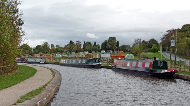
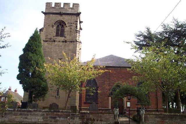
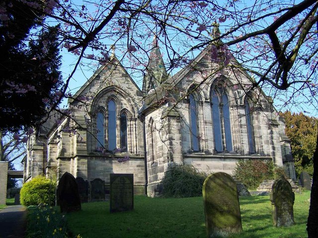
Black Spinney Images

Images are sourced within 2km of 52.758013/-1.893626 or Grid Reference SK0717. Thanks to Geograph Open Source API. All images are credited.

Rugeley Road Bridge near Rugeley in Staffordshire Rugeley Road Bridge is No 61A across the Trent and Mersey Canal, and carries the A513 Rugeley Road. (Telephoto image looking east while we wait to go through). This was formerly Armitage Tunnel, until the roof was taken off in 1971 because of subsidence damage.

<span class="nowrap"><a title="https://www.search.staffspasttrack.org.uk/Details.aspx?&ResourceID=13957&SearchType=2&ThemeID=419" rel="nofollow ugc noopener" href="https://www.search.staffspasttrack.org.uk/Details.aspx?&ResourceID=13957&SearchType=2&ThemeID=419">Link</a><img style="margin-left:2px;" alt="External link" title="External link - shift click to open in new window" src="https://s1.geograph.org.uk/img/external.png" width="10" height="10"/></span>
Rugeley Road Bridge near Rugeley in Staffordshire
Rugeley Road Bridge is No 61A across the Trent and Mersey Canal, and carries the A513 Rugeley Road. (Telephoto image looking east while we wait to go through). This was formerly Armitage Tunnel, until the roof was taken off in 1971 because of subsidence damage. LinkExternal link
Former Armitage Tunnel in Staffordshire Rugeley Road Bridge is No 61A across the Trent and Mersey Canal, and carries the A513 Rugeley Road. (Telephoto image looking east while we wait to go through). This was formerly Armitage Tunnel, until the roof was taken off in 1971 because of subsidence damage.

<span class="nowrap"><a title="https://www.search.staffspasttrack.org.uk/Details.aspx?&ResourceID=13957&SearchType=2&ThemeID=419" rel="nofollow ugc noopener" href="https://www.search.staffspasttrack.org.uk/Details.aspx?&ResourceID=13957&SearchType=2&ThemeID=419">Link</a><img style="margin-left:2px;" alt="External link" title="External link - shift click to open in new window" src="https://s1.geograph.org.uk/img/external.png" width="10" height="10"/></span>
Former Armitage Tunnel in Staffordshire
Rugeley Road Bridge is No 61A across the Trent and Mersey Canal, and carries the A513 Rugeley Road. (Telephoto image looking east while we wait to go through). This was formerly Armitage Tunnel, until the roof was taken off in 1971 because of subsidence damage. LinkExternal link
Canal near Armitage in Staffordshire This is the Trent and Mersey Canal east of Rugeley Road Bridge (No 61A formerly Armitage Tunnel), looking east towards Rugeley.
Canal near Armitage in Staffordshire
This is the Trent and Mersey Canal east of Rugeley Road Bridge (No 61A formerly Armitage Tunnel), looking east towards Rugeley.
Canal sentinel east of Armitage By the Trent and Mersey Canal, east of the former Armitage Tunnel.
Canal sentinel east of Armitage
By the Trent and Mersey Canal, east of the former Armitage Tunnel.
Sculpture by the former Armitage Tunnel in Staffordshire By the Trent and Mersey Canal, east of the former Armitage Tunnel. Was he a local "entity" who would light you through the tunnel before it was demolished (circa 1971)?
Sculpture by the former Armitage Tunnel in Staffordshire
By the Trent and Mersey Canal, east of the former Armitage Tunnel. Was he a local "entity" who would light you through the tunnel before it was demolished (circa 1971)?
Canal sentinel sculpture east of Armitage By the Trent and Mersey Canal, east of the former Armitage Tunnel. Was he a mythical local "entity" who would light you through the tunnel before it was demolished (circa 1971)?
Canal sentinel sculpture east of Armitage
By the Trent and Mersey Canal, east of the former Armitage Tunnel. Was he a mythical local "entity" who would light you through the tunnel before it was demolished (circa 1971)?
Site of former Armitage Tunnel in Staffordshire Looking east towards Fradley Junction, Alrewas and Burton upon Trent.

Rugeley Road Bridge is No 61A across the Trent and Mersey Canal, and carries the A513 Rugeley Road. This was formerly Armitage Tunnel, until the roof was taken off in 1971 because of subsidence damage.
Site of former Armitage Tunnel in Staffordshire
Looking east towards Fradley Junction, Alrewas and Burton upon Trent. Rugeley Road Bridge is No 61A across the Trent and Mersey Canal, and carries the A513 Rugeley Road. This was formerly Armitage Tunnel, until the roof was taken off in 1971 because of subsidence damage.
Bridge 61A/Armitage Tunnel in Staffordshire Looking east towards Fradley Junction, Alrewas and Burton upon Trent.

Rugeley Road Bridge is No 61A across the Trent and Mersey Canal, and carries the A513 Rugeley Road. This was formerly Armitage Tunnel, until the roof was taken off in 1971 because of subsidence damage.
Bridge 61A/Armitage Tunnel in Staffordshire
Looking east towards Fradley Junction, Alrewas and Burton upon Trent. Rugeley Road Bridge is No 61A across the Trent and Mersey Canal, and carries the A513 Rugeley Road. This was formerly Armitage Tunnel, until the roof was taken off in 1971 because of subsidence damage.
Trent and Mersey Canal near Armitage in Staffordshire Looking east towards Fradley Junction, Alrewas and Burton upon Trent.

Rugeley Road Bridge is No 61A across the Trent and Mersey Canal, and carries the A513 Rugeley Road. This was formerly Armitage Tunnel, until the roof was taken off in 1971 because of subsidence damage.
Trent and Mersey Canal near Armitage in Staffordshire
Looking east towards Fradley Junction, Alrewas and Burton upon Trent. Rugeley Road Bridge is No 61A across the Trent and Mersey Canal, and carries the A513 Rugeley Road. This was formerly Armitage Tunnel, until the roof was taken off in 1971 because of subsidence damage.
Canal near Armitage in Staffordshire Looking east from near Rugeley Road Bridge (No 61A) towards Fradley Junction, Alrewas and Burton upon Trent.
Canal near Armitage in Staffordshire
Looking east from near Rugeley Road Bridge (No 61A) towards Fradley Junction, Alrewas and Burton upon Trent.
Canal near Armitage in Staffordshire Looking east from near Rugeley Road Bridge (No 61A) towards Fradley Junction, Alrewas and Burton upon Trent. That's Park View Cottage on the right, fronting onto the A513 Rugeley Road.
Canal near Armitage in Staffordshire
Looking east from near Rugeley Road Bridge (No 61A) towards Fradley Junction, Alrewas and Burton upon Trent. That's Park View Cottage on the right, fronting onto the A513 Rugeley Road.
Canal by Rugeley Road near Armitage, Staffordshire On the right is the A513 Rugeley Road, leading towards Armitage, Alrewas and Tamworth. The Trent and Mersey Canal leads towards Fradley Junction, Alrewas and Burton upon Trent.
The allotments were very recently established, opening in March 2011.
Canal by Rugeley Road near Armitage, Staffordshire
On the right is the A513 Rugeley Road, leading towards Armitage, Alrewas and Tamworth. The Trent and Mersey Canal leads towards Fradley Junction, Alrewas and Burton upon Trent. The allotments were very recently established, opening in March 2011.
Narrowboat by the allotments near Armitage, Staffordshire Off to the right is the A513 Rugeley Road, leading towards Armitage, Alrewas and Tamworth. The Trent and Mersey Canal leads towards Fradley Junction, Alrewas and Burton upon Trent.
The allotments were very recently established, opening in March 2011.
On the left is the tower of the Church of St John the Baptist.
Narrowboat by the allotments near Armitage, Staffordshire
Off to the right is the A513 Rugeley Road, leading towards Armitage, Alrewas and Tamworth. The Trent and Mersey Canal leads towards Fradley Junction, Alrewas and Burton upon Trent. The allotments were very recently established, opening in March 2011. On the left is the tower of the Church of St John the Baptist.
Allotments near Armitage, Staffordshire Seen from a passing narrowboat, the allotments were very recently established, opening in March 2011. Behind the trees is the tower on the Church of St John the Baptist.
Allotments near Armitage, Staffordshire
Seen from a passing narrowboat, the allotments were very recently established, opening in March 2011. Behind the trees is the tower on the Church of St John the Baptist.
Allotments near Armitage, Staffordshire Seen from a passing narrowboat, the allotments were very recently established, opening in March 2011.
Allotments near Armitage, Staffordshire
Seen from a passing narrowboat, the allotments were very recently established, opening in March 2011.
Allotments near Armitage, Staffordshire Seen from a passing narrowboat, the allotments were very recently established, opening in March 2011.
Allotments near Armitage, Staffordshire
Seen from a passing narrowboat, the allotments were very recently established, opening in March 2011.
Church Bridge near Armitage in Staffordshire Church Bridge is No 61 across the Trent and Mersey Canal. It is a replacement accommodation bridge which has no public right of way across it or into adjacent fields. St John's Church is just visible behind the trees.
Church Bridge near Armitage in Staffordshire
Church Bridge is No 61 across the Trent and Mersey Canal. It is a replacement accommodation bridge which has no public right of way across it or into adjacent fields. St John's Church is just visible behind the trees.
Show me another place!

Black Spinney is located at Grid Ref: SK0717 (Lat: 52.758013, Lng: -1.893626)

Administrative County: Staffordshire

District: Lichfield

Police Authority: Staffordshire

What 3 Words

///passport.limo.rejoiced. Near Armitage, Staffordshire

Related Wikis

Hill Ridware

Hill Ridware is a small village in the civil parish of Mavesyn Ridware in the Lichfield District of Staffordshire, England. It is the largest settlement...

Mavesyn Ridware

Mavesyn Ridware is a village and civil parish in Lichfield District, Staffordshire, England. The parish had a population of 1,048 in 2001, increasing to...

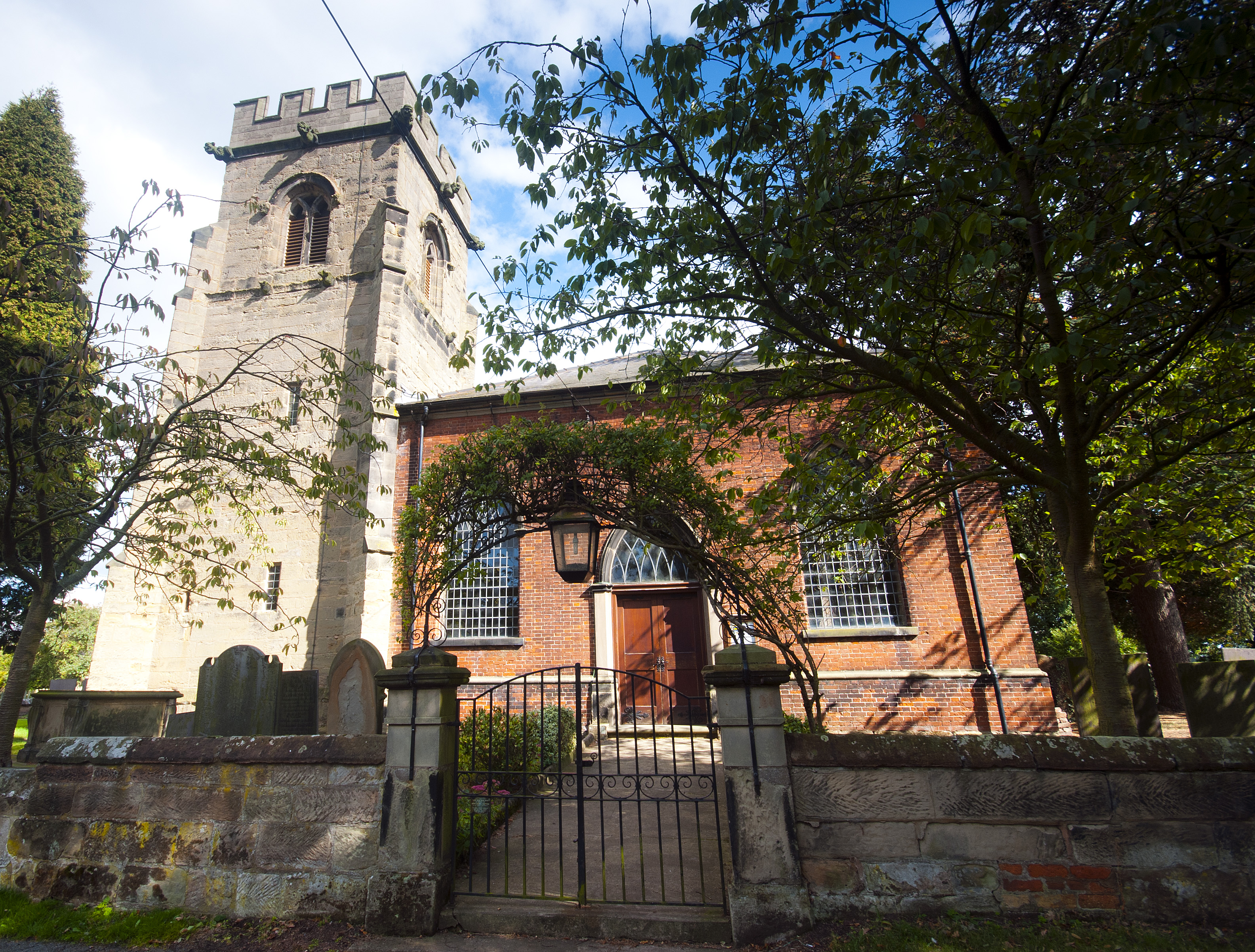
Church of St Nicholas, Mavesyn Ridware

The Church of St Nicholas is a Grade I listed parish church in the village of Mavesyn Ridware, Staffordshire, England. The church is situated at the eastern...

Rugeley power stations

The Rugeley power stations were a series of two coal-fired power stations located on the River Trent at Rugeley in Staffordshire. The first power station...

Armitage Park

Armitage Park (which has reverted to an earlier name of Hawkesyard Hall) is a 19th-century Grade II listed country house at Armitage near Rugeley, Staffordshire...

Hawkesyard Priory

Hawkesyard Priory was a Dominican priory off Armitage Lane Brereton, Rugeley, Staffordshire, England, built between 1896 and 1914 which included the Roman...

Armitage

Armitage is a village in Staffordshire, England on the south side of the Trent and Mersey Canal south just outside of the market town of Rugeley and north...

Brereton, Staffordshire

Brereton is a village and former civil parish, now in the parish of Brereton and Ravenhill, in the Cannock Chase district, in the county of Staffordshire...

Nearby Amenities

Located within 500m of 52.758013,-1.893626
Power: tower
Lat/Long: 52.7544027/-1.8902446
Power: tower
Source: Bing
Lat/Long: 52.7548808/-1.8964277
Power: tower
Source: Bing
Lat/Long: 52.754918/-1.8940012
Power: tower
Source: Bing
Lat/Long: 52.7556297/-1.8987233
The data included in this document is from www.openstreetmap.org. The data is made available under ODbL.

Have you been to Black Spinney?

Leave your review of Black Spinney below (or comments, questions and feedback).