Greenside Plantation
Wood, Forest in Northumberland
England
Greenside Plantation

Greenside Plantation is a sprawling woodland area located in Northumberland, England. Covering a vast expanse, the plantation is renowned for its lush greenery and diverse range of trees and plants. Stretching over several hundred acres, the plantation is a haven for nature enthusiasts and offers a peaceful retreat away from the hustle and bustle of city life.
The woodland is primarily composed of a mixture of deciduous and coniferous trees, including oak, beech, pine, and spruce. This variety creates a unique and picturesque landscape throughout the year, with vibrant displays of colors during the autumn months and a serene atmosphere during the winter.
Greenside Plantation is home to a rich array of wildlife, providing a habitat for numerous species of birds, mammals, and insects. Birdwatchers can spot a multitude of feathered creatures, including woodpeckers, owls, and various songbirds. The woodland also supports a population of deer, rabbits, and squirrels, which can often be seen darting among the trees.
The plantation offers several walking trails and paths, allowing visitors to explore and immerse themselves in the natural beauty of the surroundings. These trails cater to different levels of difficulty, making it accessible for individuals of all ages and fitness levels. There are also picnic areas and benches scattered throughout the woodland, offering the perfect opportunity to relax and enjoy a meal amidst the tranquil setting.
Greenside Plantation, with its abundant flora and fauna, is a true gem of Northumberland. Its natural beauty and peaceful ambiance make it a popular destination for nature lovers, hikers, and families seeking a serene escape in the heart of the countryside.
If you have any feedback on the listing, please let us know in the comments section below.
Greenside Plantation Images
Images are sourced within 2km of 55.172071/-1.8875624 or Grid Reference NZ0786. Thanks to Geograph Open Source API. All images are credited.


Greenside Plantation is located at Grid Ref: NZ0786 (Lat: 55.172071, Lng: -1.8875624)
Unitary Authority: Northumberland
Police Authority: Northumbria
What 3 Words
///revamping.taxi.splash. Near Rothley, Northumberland
Nearby Locations
Related Wikis

Middleton North railway station
Middleton North was a stone-built railway station on the Wansbeck Railway between Morpeth and Reedsmouth, which served the villages of Middleton and Hartburn...
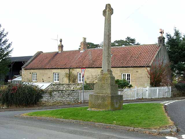
Hartburn War Memorial
Hartburn War Memorial is a First World War Memorial in the village of Hartburn, Northumberland, in the north-east of England. The memorial, designed by...
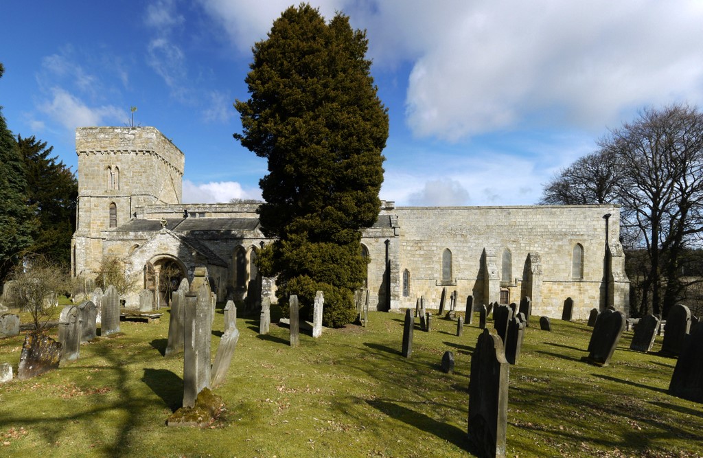
Hartburn, Northumberland
Hartburn is a village in Northumberland, in England. It is situated about 6 miles (10 km) to the west of Morpeth. The population at the 2011 census was...
Angerton railway station
Angerton was a railway station serving the village of Low Angerton in Northumberland, Northern England. It was located on the Wansbeck Railway, which diverged...

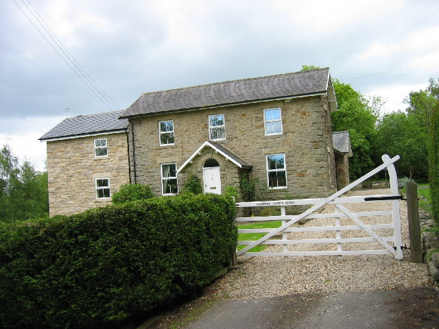
West Grange Hall
West Grange Hall is an English country house and estate in the village of Scots Gap, Northumberland, built between 1863 and 1896 and originally part of...

Rothley, Northumberland
Rothley is a small settlement and civil parish in Northumberland, England about 2 miles (3 km) north east of Cambo and about 6 miles (10 km) west of Morpeth...

Scots Gap
Scots Gap is a small village in Northumberland, United Kingdom. == Population == Scots Gap has approximately 70 private residential dwellings, the oldest...
Scotsgap railway station
Scotsgap was a stone-built railway station in Northumberland on the Wansbeck Railway, which served the villages of Scots' Gap and Cambo. It was located...
Have you been to Greenside Plantation?
Leave your review of Greenside Plantation below (or comments, questions and feedback).