Coombefield Plantation

Wood, Forest in Worcestershire Wychavon

England

Coombefield Plantation

A44 at the turning for Murcot
A44 at the turning for Murcot Credit: Peter Whatley

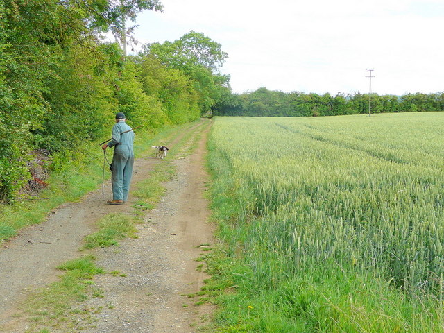
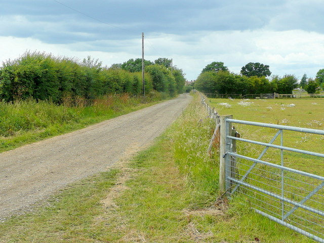
Coombefield Plantation is a picturesque woodland located in Worcestershire, England. Situated in the heart of the county, the plantation covers an area of approximately 100 acres and is known for its diverse range of flora and fauna.

The woodland is characterized by its dense canopy of tall trees, primarily consisting of oak, beech, and birch. These towering trees create a tranquil and shaded atmosphere, making it a popular destination for nature enthusiasts and walkers. The forest floor is adorned with a carpet of bluebells in the spring, adding a burst of color to the landscape.

Coombefield Plantation is home to a variety of wildlife, making it an important ecological site. Visitors may spot a range of bird species, including woodpeckers, owls, and thrushes, as well as small mammals like squirrels and rabbits. Additionally, the plantation provides a habitat for various insects and butterflies.

The woodland is easily accessible, with well-maintained footpaths and trails that wind through the plantation, allowing visitors to explore its natural beauty at their own pace. The peaceful surroundings make it an ideal spot for a leisurely walk or a family picnic.

Coombefield Plantation is managed by the Worcestershire Wildlife Trust, which ensures the conservation and preservation of the woodland. The trust organizes educational events and nature walks to promote awareness and appreciation of the local ecosystem.

In summary, Coombefield Plantation in Worcestershire is a captivating woodland that offers visitors the chance to immerse themselves in nature, enjoy scenic walks, and observe a diverse range of plant and animal life.

If you have any feedback on the listing, please let us know in the comments section below.

Coombefield Plantation Images

Images are sourced within 2km of 52.070284/-1.8959495 or Grid Reference SP0741. Thanks to Geograph Open Source API. All images are credited.
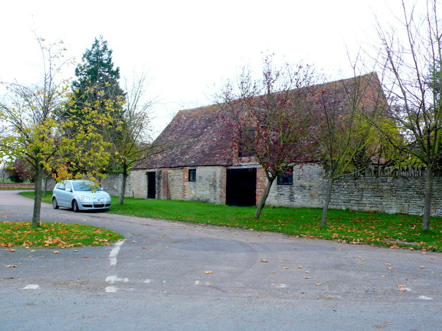
A44 at the turning for Murcot
A44 at the Farm Shop, Wickhamford
A44 - view across the Badsey Brook's valley
A44 at Leystones Garage
A brief interlude of dual carriageway Blessed relief on the A44 over Longdon Hill!
A brief interlude of dual carriageway
Blessed relief on the A44 over Longdon Hill!
St. James's church Badsey A rare shaft of sunlight illuminates the east end of this village church in the Vale of Evesham.
St. James's church Badsey
A rare shaft of sunlight illuminates the east end of this village church in the Vale of Evesham.
Footpath to Wickhamford church Heading north from the Evesham Road.
Footpath to Wickhamford church
Heading north from the Evesham Road.
Cottages in Wickhamford Victorian, and older, farm cottages at the church end of the village.
Cottages in Wickhamford
Victorian, and older, farm cottages at the church end of the village.
Taking the springer out An afternoon dog-walking near Badsey.
Taking the springer out
An afternoon dog-walking near Badsey.
Sands Lane Also a bridleway, looking towards Badsey.
Sands Lane
Also a bridleway, looking towards Badsey.
Edwardian villas, Badsey Substantial village houses opposite the church.
Edwardian villas, Badsey
Substantial village houses opposite the church.
Houses in Chapel St This row of red brick Victorian terraced houses is on Chapel St next to Sands Lane which can just be seen going off on the left foreground.
Houses in Chapel St
This row of red brick Victorian terraced houses is on Chapel St next to Sands Lane which can just be seen going off on the left foreground.
Old Barn at Wickhamford This old barn is one of the old agricultural buildings associated with the old Manor House which is just round the corner. It is just off the road to Badsey.
Old Barn at Wickhamford
This old barn is one of the old agricultural buildings associated with the old Manor House which is just round the corner. It is just off the road to Badsey.
House at Wickham Farm This is the main house for what appears to be a large working farm on the west side of Manor Road, the main road down through Wickhamford.
House at Wickham Farm
This is the main house for what appears to be a large working farm on the west side of Manor Road, the main road down through Wickhamford.
Sandys Arms Public House This pub is on Manor Road at its junction with Longdon Hill and Pitchers Hill. The main road , the A44 now misses out the pub by a few yards due to road straightening.
Sandys Arms Public House
This pub is on Manor Road at its junction with Longdon Hill and Pitchers Hill. The main road , the A44 now misses out the pub by a few yards due to road straightening.
Wickhamford This is the green triangle on the A44 at Wickhamford. The old road passes behind the tree and goes off to the village on the right. The road was straightened many years ago and the new straight road is on the left.
Wickhamford
This is the green triangle on the A44 at Wickhamford. The old road passes behind the tree and goes off to the village on the right. The road was straightened many years ago and the new straight road is on the left.
Downrip Farm [1] The farm is seen, across the fields, from the footpath.
Downrip Farm [1]
The farm is seen, across the fields, from the footpath.
A house called Condicup Seen from Badsey Lane.
A house called Condicup
Seen from Badsey Lane.
Show me another place!

Coombefield Plantation is located at Grid Ref: SP0741 (Lat: 52.070284, Lng: -1.8959495)

Administrative County: Worcestershire

District: Wychavon

Police Authority: West Mercia

What 3 Words

///nightfall.gravy.stammer. Near Badsey, Worcestershire

Nearby Locations

Coombefield Plantation

Related Wikis

Wickhamford

Wickhamford is a village and a civil parish in Worcestershire, England. It is situated on the A44 road approximately halfway between the towns of Evesham...
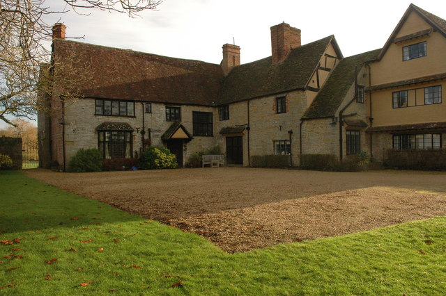
Wickhamford Manor

Wickhamford Manor, Wickhamford, Worcestershire is a manor house dating from the 16th century. It was the childhood home of James Lees-Milne, the writer...

Badsey

Badsey is a village and civil parish in the Wychavon district of Worcestershire, England. It has two parks and a small first school located in the centre...

Murcot

Murcot is a hamlet in the English county of Worcestershire. Murcot is located in the west of the Vale of Evesham and is to the west and south of the village...

Nearby Amenities

Located within 500m of 52.070284,-1.8959495
Bus Stop
Sandys Avenue
Bench: yes
Bin: yes
Bus: yes
Lit: no
Naptan AtcoCode: 2000G001901
Naptan Bearing: NW
Naptan CommonName: Sandys Avenue
Naptan Crossing: Sandys Avenue
Naptan Indicator: opp
Naptan NaptanCode: wocdgpdj
Naptan Street: A44 Pitchers Hill
Public Transport: platform
Shelter: yes
Source: naptan_import;survey
Tactile Paving: no
Lat/Long: 52.0679745/-1.9001455
Bus Stop
Sandys Avenue
Bench: no
Bin: no
Bus: yes
Naptan AtcoCode: 2000G001903
Naptan Bearing: SE
Naptan CommonName: Sandys Avenue
Naptan Crossing: Sandys Avenue
Naptan Indicator: Adj
Naptan NaptanCode: wocdgpdp
Naptan Street: Pitchers Hill
Naptan Verified: no
Public Transport: platform
Shelter: no
Source: naptan_import
Lat/Long: 52.0683225/-1.9006175
Post Box
Collection Times: Mo-Fr 15:15; Sa 07:45; Su off
Post Box Manufacturer: Carron Company, Stirlingshire
Post Box Type: lamp
Ref: WR11 203
Royal Cypher: EIIR
Royal Cypher Wikidata: Q33102113
Source: bing;survey
Source Ref: survey
Lat/Long: 52.0714037/-1.9011587
Barrier: kissing_gate
Lat/Long: 52.0721531/-1.8996884
Barrier: kissing_gate
Lat/Long: 52.0708338/-1.8987018
Old Amenity: post_box
Old Ref: WR11 48
Lat/Long: 52.0689365/-1.9018262
Barrier: stile
Lat/Long: 52.07319/-1.9003736
Barrier: kissing_gate
Lat/Long: 52.0730691/-1.900292
Location Transition: yes
Material: wood
Power: pole
Lat/Long: 52.0714912/-1.8991186
Location Transition: yes
Material: wood
Power: pole
Lat/Long: 52.0693787/-1.8990912
Sandys Avenue
Material: wood
Power: pole
Transformer: distribution
Voltage Primary: 11000
Lat/Long: 52.0686813/-1.8993574
Wickhamford S C
Material: wood
Power: pole
Transformer: distribution
Voltage Primary: 11000
Lat/Long: 52.0700943/-1.8988283
Material: wood
Power: pole
Lat/Long: 52.0704581/-1.898718
Material: wood
Power: pole
Lat/Long: 52.0707736/-1.8984615
Material: wood
Power: pole
Lat/Long: 52.0714821/-1.8978835
Material: wood
Power: pole
Lat/Long: 52.0714681/-1.8966886
Material: wood
Power: pole
Lat/Long: 52.071114/-1.892963
Material: wood
Power: pole
Lat/Long: 52.0714533/-1.8955828
Material: wood
Power: pole
Lat/Long: 52.0714491/-1.8944442
Material: wood
Power: pole
Lat/Long: 52.0709018/-1.8920383
Material: wood
Power: pole
Lat/Long: 52.0706549/-1.8909882
Material: wood
Power: pole
Lat/Long: 52.0700902/-1.8901084
Material: wood
Power: pole
Lat/Long: 52.0694637/-1.8891355
Bond Industrial
Material: wood
Power: pole
Transformer: distribution
Voltage Primary: 11000
Lat/Long: 52.0665329/-1.8983629
Material: wood
Power: pole
Lat/Long: 52.0665325/-1.8974651
Material: wood
Power: pole
Lat/Long: 52.066511/-1.8963412
Coombefield Plantation
Material: wood
Power: pole
Transformer: distribution
Voltage Primary: 11000
Lat/Long: 52.0662068/-1.8959583
Material: wood
Power: pole
Lat/Long: 52.0660687/-1.8951315
Material: wood
Power: pole
Lat/Long: 52.0659372/-1.8942887
Material: wood
Power: pole
Transformer: distribution
Voltage Primary: 11000
Lat/Long: 52.0694632/-1.9019893
Wickhamford
Power: transformer
Transformer: distribution
Voltage Primary: 11000
Lat/Long: 52.0715382/-1.9028825
Location Transition: yes
Power: pole
Lat/Long: 52.0726444/-1.9007649
Power: pole
Lat/Long: 52.0732767/-1.9003397
Power: pole
Lat/Long: 52.0729503/-1.8995558
Power: pole
Lat/Long: 52.0733657/-1.89855
Power: pole
Lat/Long: 52.073808/-1.8974657
Power: pole
Lat/Long: 52.0743174/-1.8962333
The data included in this document is from www.openstreetmap.org. The data is made available under ODbL.

Have you been to Coombefield Plantation?

Leave your review of Coombefield Plantation below (or comments, questions and feedback).