Horseshoe Wood
Wood, Forest in Staffordshire Staffordshire Moorlands
England
Horseshoe Wood
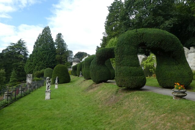
Horseshoe Wood is a picturesque woodland located in Staffordshire, England. Spanning approximately 20 acres, this enchanting forest is known for its natural beauty and diverse ecosystem. The wood is named after its distinctive horseshoe-shaped layout, which adds to its unique charm.
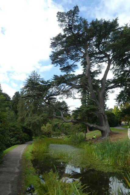
Covered in a dense canopy of deciduous and coniferous trees, Horseshoe Wood offers a peaceful and serene environment for nature enthusiasts and outdoor lovers. The wood is predominantly composed of oak, beech, and birch trees, creating an impressive display of colors during autumn. The forest floor is blanketed with a rich carpet of bluebells and wildflowers during springtime, adding a touch of vibrancy to the woodland.
Horseshoe Wood is home to a wide variety of wildlife, making it a haven for animal lovers and birdwatchers. The forest is frequented by species such as deer, foxes, badgers, and rabbits, providing ample opportunities for wildlife spotting. Additionally, the wood attracts a multitude of bird species, including woodpeckers, owls, and warblers, making it a paradise for bird enthusiasts.
For those seeking outdoor activities, Horseshoe Wood offers a network of well-maintained trails and footpaths that wind through the forest. These paths allow visitors to explore the woodland at their own pace, providing opportunities for leisurely walks, hiking, and photography.
Overall, Horseshoe Wood in Staffordshire is a natural gem that showcases the beauty of the English countryside. With its stunning scenery, abundant wildlife, and recreational opportunities, this woodland is a must-visit destination for nature lovers and those looking to escape the hustle and bustle of everyday life.
If you have any feedback on the listing, please let us know in the comments section below.
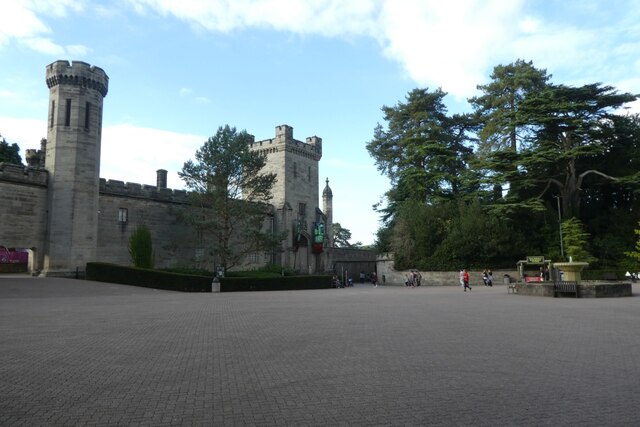
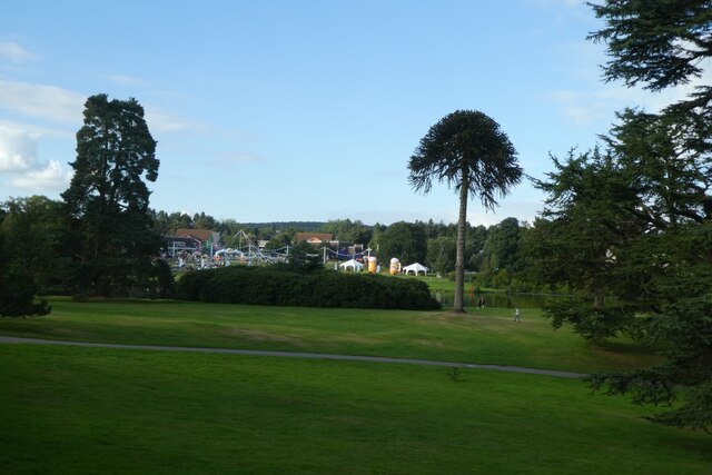
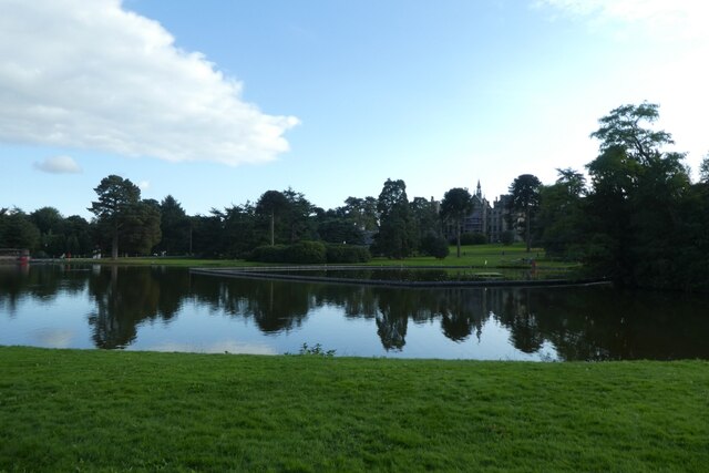
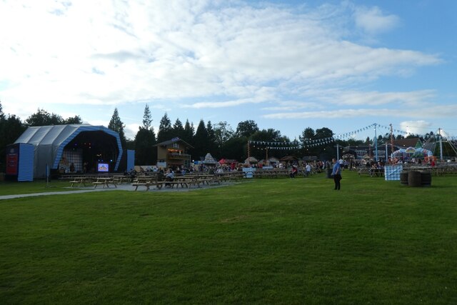
Horseshoe Wood Images
Images are sourced within 2km of 52.988592/-1.8958921 or Grid Reference SK0743. Thanks to Geograph Open Source API. All images are credited.

Horseshoe Wood is located at Grid Ref: SK0743 (Lat: 52.988592, Lng: -1.8958921)
Administrative County: Staffordshire
District: Staffordshire Moorlands
Police Authority: Staffordshire
What 3 Words
///fidgeting.tripods.flatten. Near Cheadle, Staffordshire
Nearby Locations
Related Wikis
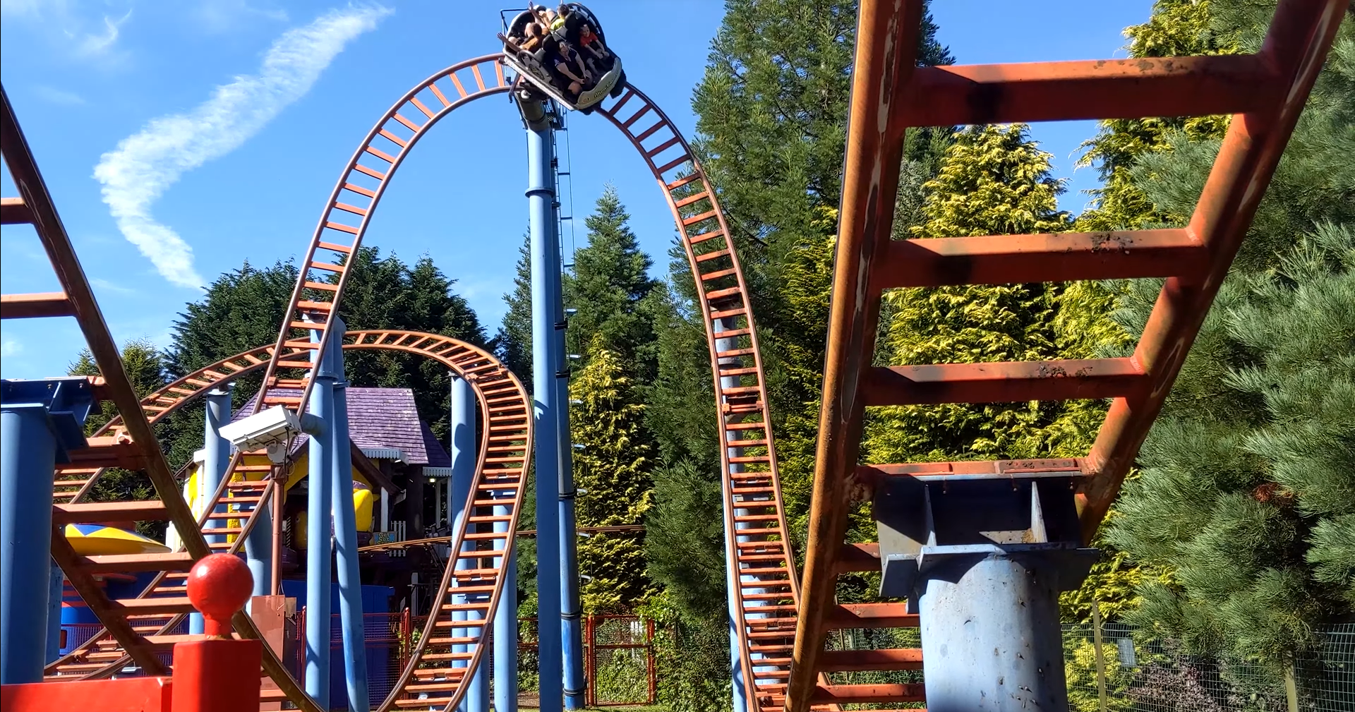
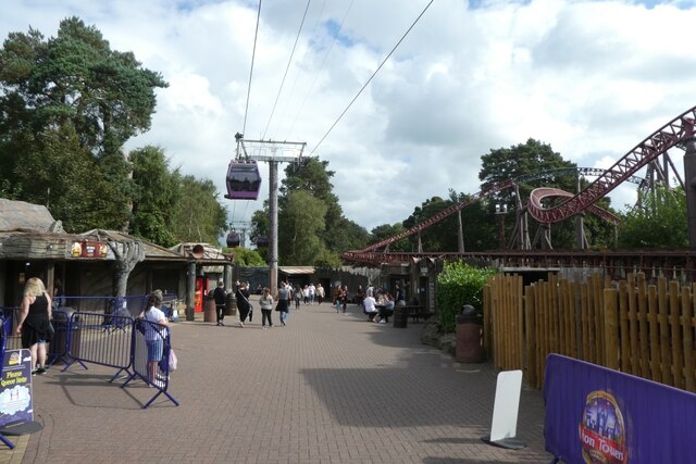
Spinball Whizzer
Spinball Whizzer is a spinning roller coaster located in the Adventure Land area of Alton Towers in Staffordshire, England. Built by Maurer Söhne, it was...

Beastie (Alton Towers)
Beastie was a steel family roller coaster made by Pinfari of Italy. The coaster was located in the Adventure Land area of Alton Towers in Staffordshire...
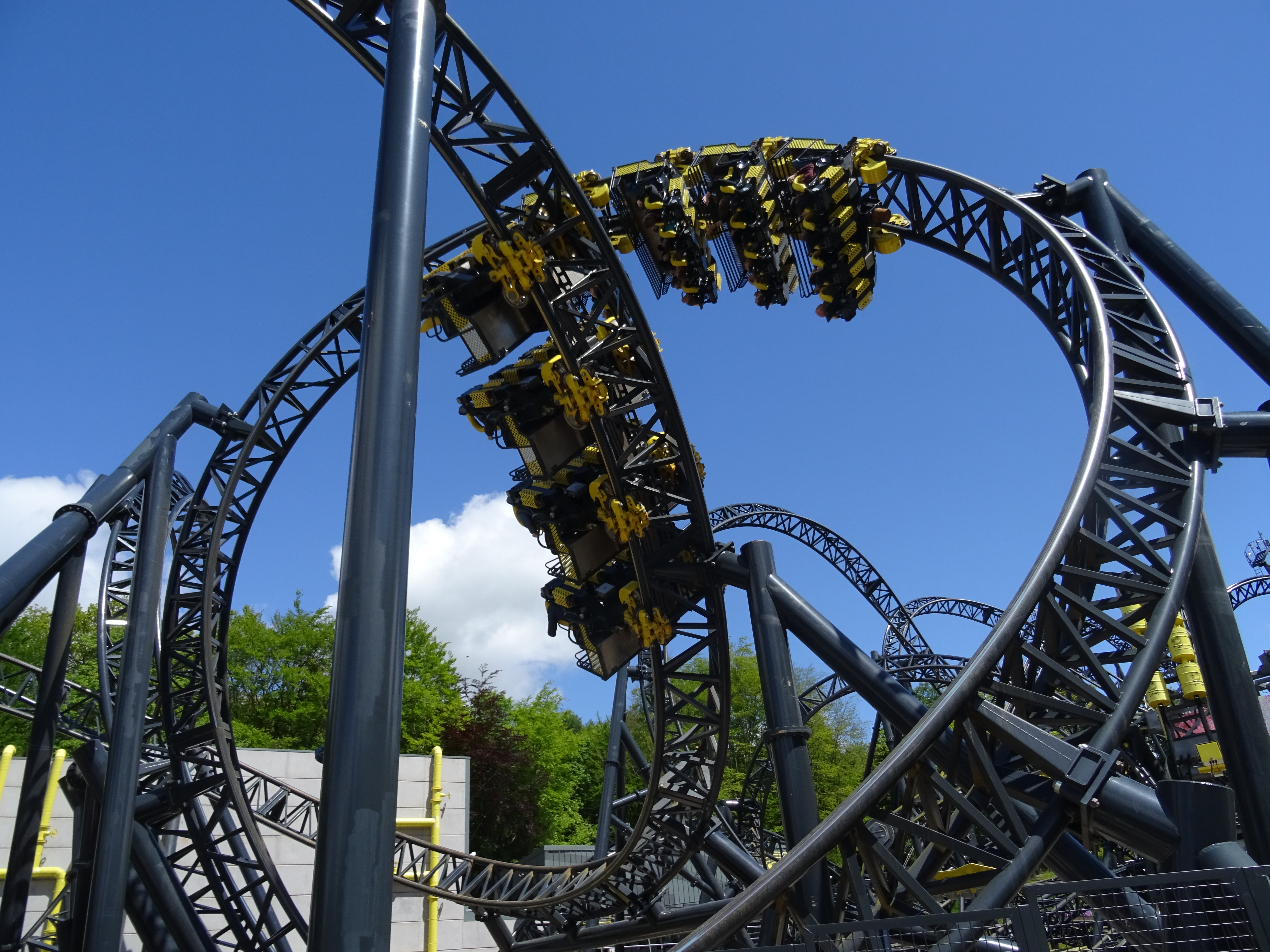
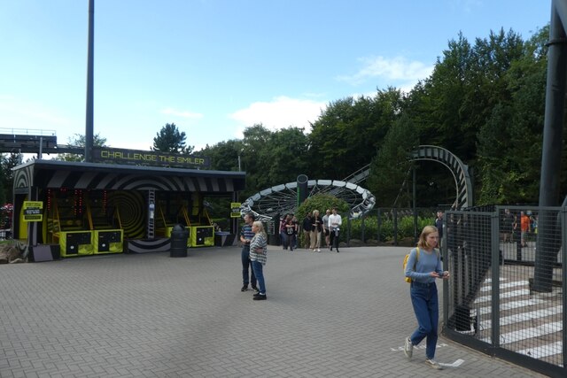
The Smiler
The Smiler is a steel roller coaster located at Alton Towers in Staffordshire, United Kingdom. It opened in 2013 as the first Infinity Coaster model from...

Oblivion (roller coaster)
Oblivion is a steel roller coaster located at Alton Towers in Staffordshire, England. The prototype Dive Coaster model from Bolliger & Mabillard opened...

Ripsaw (Alton Towers)
Ripsaw was a Top Spin ride at Alton Towers theme park in Staffordshire, England. It opened in 1997 and closed at the end of 2015. == History == The ride...

Submission (Alton Towers)
Submission was a theme park ride at Alton Towers in Staffordshire, England from 2001 until 2013. It was a Chance Rides double swinging inverter. ��2...

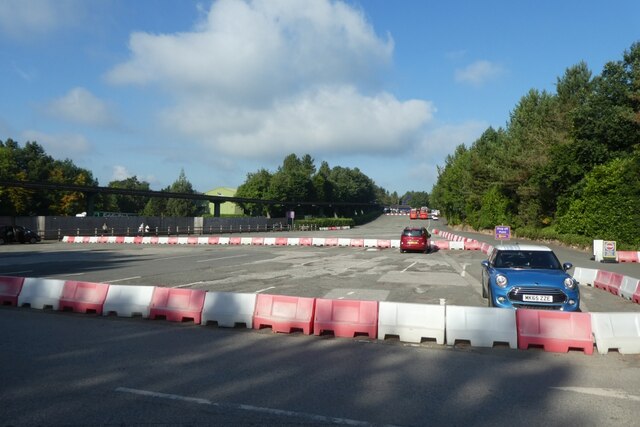
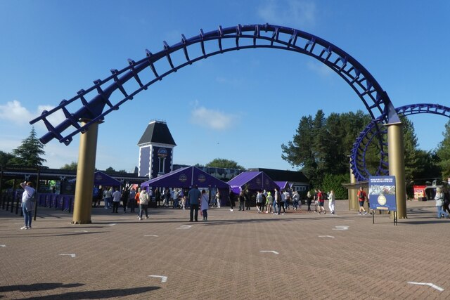
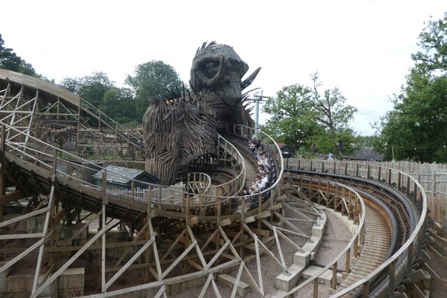
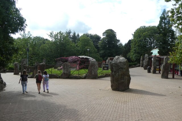
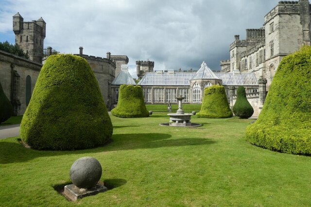
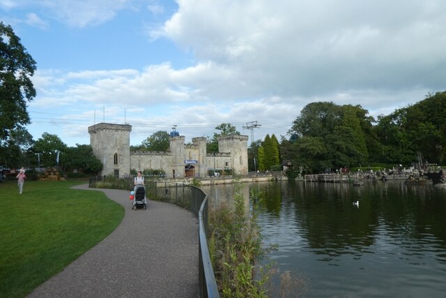
Alton Towers
Alton Towers Resort (UK: OL-tən) (often referred to as Alton Towers) is a theme park and resort complex in Staffordshire, England, near the village of...

Hex – The Legend of the Towers
Hex – The Legend of the Towers is a walkthrough dark ride experience at Alton Towers. The ride is based on an interpretation of the local legend of the...
Nearby Amenities
Located within 500m of 52.988592,-1.8958921Have you been to Horseshoe Wood?
Leave your review of Horseshoe Wood below (or comments, questions and feedback).