Black Wood
Wood, Forest in Staffordshire East Staffordshire
England
Black Wood
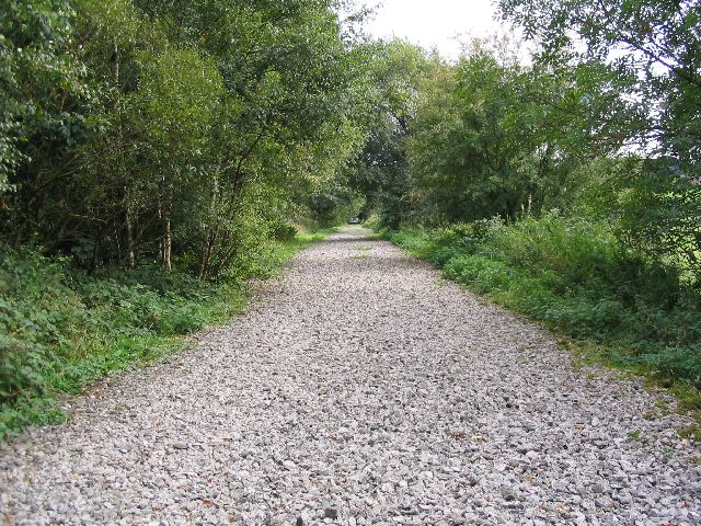
Black Wood is a picturesque forest located in the county of Staffordshire, England. Spanning over an area of approximately 500 acres, this woodland is known for its rich biodiversity and tranquil atmosphere. The forest is nestled within the stunning Cannock Chase, a designated Area of Outstanding Natural Beauty.
Black Wood is characterized by its dense canopy of predominantly deciduous trees, including oak, beech, and birch. The forest floor is covered with a lush carpet of mosses, ferns, and various wildflowers, creating a vibrant and enchanting setting. The woodland is also home to an array of wildlife, with deer, rabbits, foxes, and a variety of bird species frequently spotted by visitors.
The forest offers numerous walking trails and pathways, providing ample opportunities for outdoor enthusiasts to explore the area's natural beauty. These paths wind through the woodland, offering breathtaking views and peaceful spots for picnics or simply enjoying the serenity of nature. The forest is popular among hikers, nature lovers, and photographers, who are drawn to its idyllic scenery and the chance to capture stunning shots of wildlife and landscapes.
Black Wood has a rich history, with evidence of human habitation dating back thousands of years. Archaeological finds within the forest include ancient burial mounds and remnants of Roman settlements, offering a glimpse into the area's past. Today, the woodland is managed by local authorities to ensure its preservation and accessibility for visitors.
Overall, Black Wood in Staffordshire is a captivating natural treasure, offering visitors a chance to escape the hustle and bustle of everyday life and immerse themselves in the beauty of the English countryside.
If you have any feedback on the listing, please let us know in the comments section below.
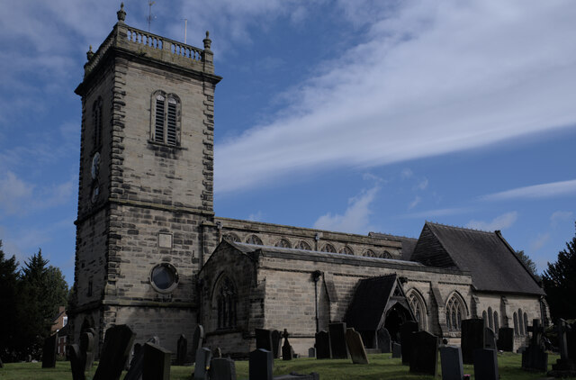
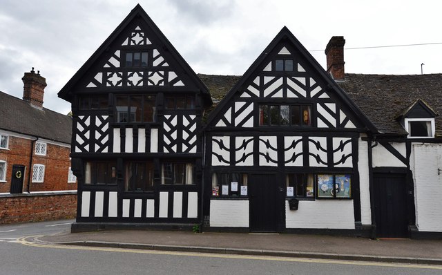
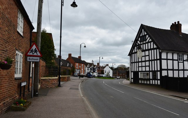
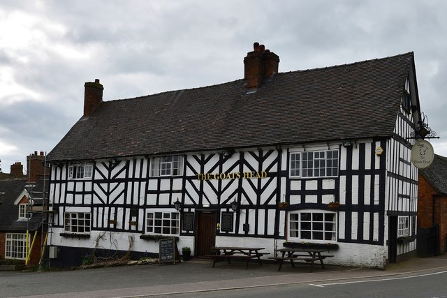
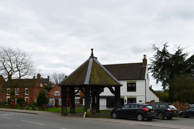
Black Wood Images
Images are sourced within 2km of 52.812163/-1.9009567 or Grid Reference SK0623. Thanks to Geograph Open Source API. All images are credited.
Black Wood is located at Grid Ref: SK0623 (Lat: 52.812163, Lng: -1.9009567)
Administrative County: Staffordshire
District: East Staffordshire
Police Authority: Staffordshire
What 3 Words
///deluded.racing.carpentry. Near Abbots Bromley, Staffordshire
Nearby Locations
Related Wikis
Staffordshire Way
The Staffordshire Way is a long-distance walk in Staffordshire, England. The path links with the Cheshire Gritstone Trail, the Heart of England Way and...

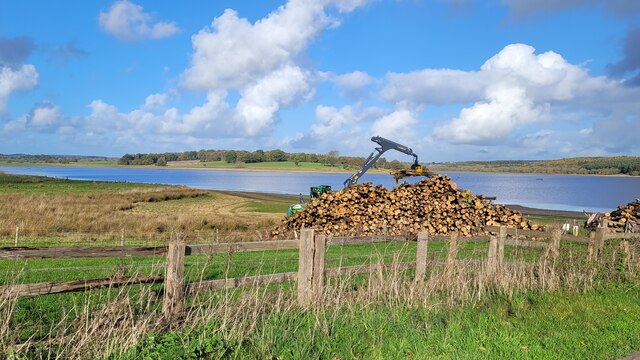
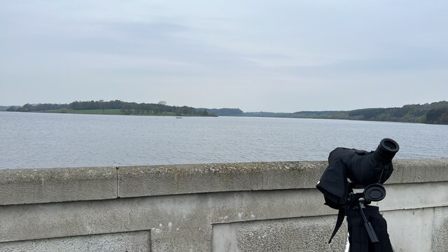
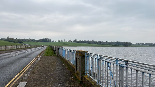
Blithfield Reservoir
Blithfield Reservoir is a large raw water reservoir in Staffordshire, England, owned by South Staffordshire Water. Some 800 acres (324 hectares) of reservoir...

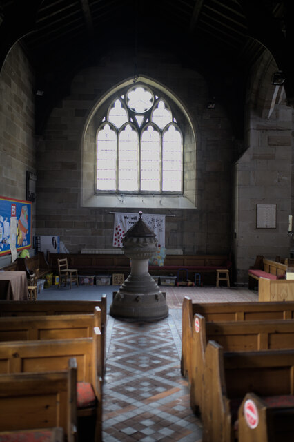
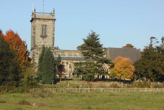
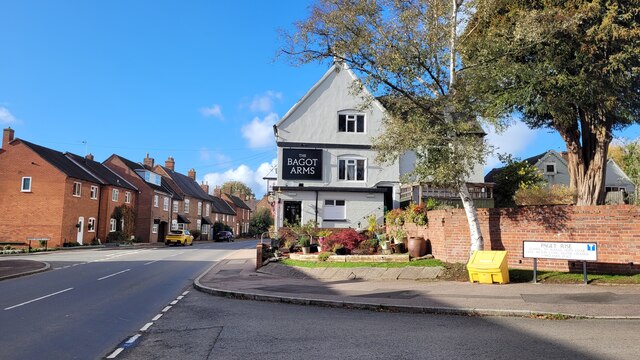
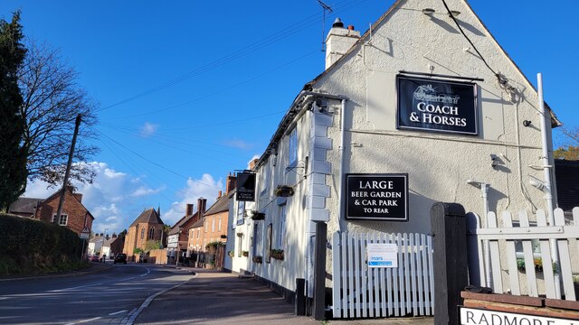
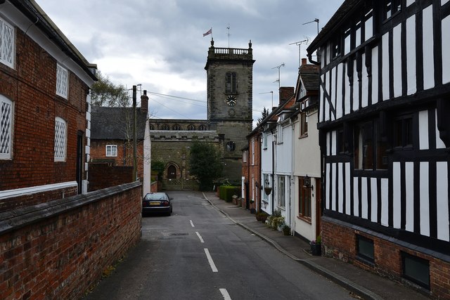
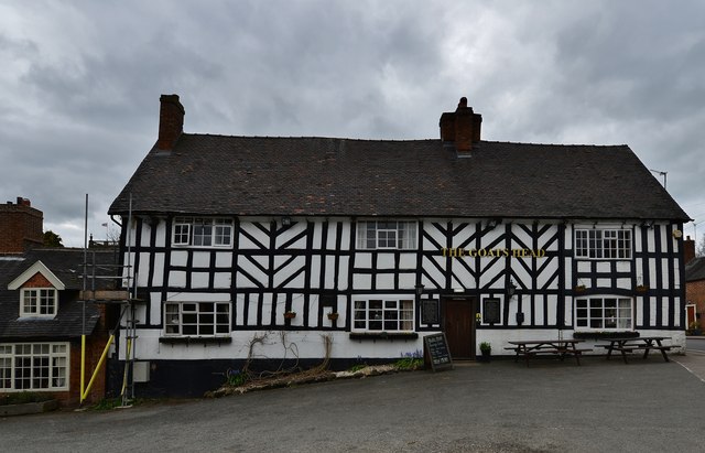
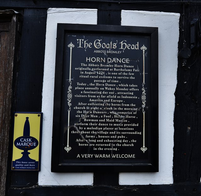
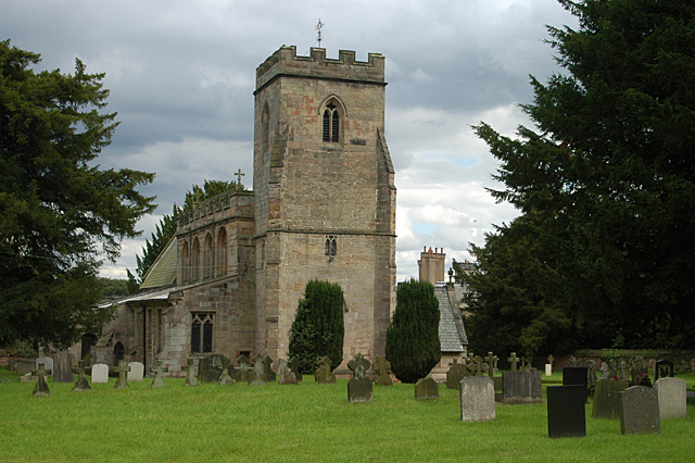
Abbots Bromley
Abbots Bromley is a village and civil parish in the East Staffordshire district of Staffordshire and lies approximately 9.8 miles (15.8 km) east of Stafford...

Abbots Bromley School
Abbots Bromley School (previously the School of S. Mary and S. Anne, Abbots Bromley before becoming Abbots Bromley School for Girls) was a coeducational...

RAF Abbots Bromley
RAF Abbots Bromley is a former Royal Air Force Relief Landing Ground (RLG) located 0.7 miles (1.1 km) north-west of the village of Abbots Bromley, Staffordshire...

Admaston, Staffordshire
Admaston is a small hamlet in Staffordshire, England just outside the town of Rugeley near to Abbots Bromley and Blithfield Hall.The name Admaston is derived...
Blithfield
Blithfield is a civil parish in the East Staffordshire district of Staffordshire, England. It includes the settlements of Admaston (a small hamlet in Staffordshire...

Blithfield Hall
Blithfield Hall (pronounced locally as Bliffield), is a privately owned Grade I listed country house in Staffordshire, England, situated some 9 miles...
Nearby Amenities
Located within 500m of 52.812163,-1.9009567Have you been to Black Wood?
Leave your review of Black Wood below (or comments, questions and feedback).