Bakers Pit Plantation
Wood, Forest in Staffordshire East Staffordshire
England
Bakers Pit Plantation

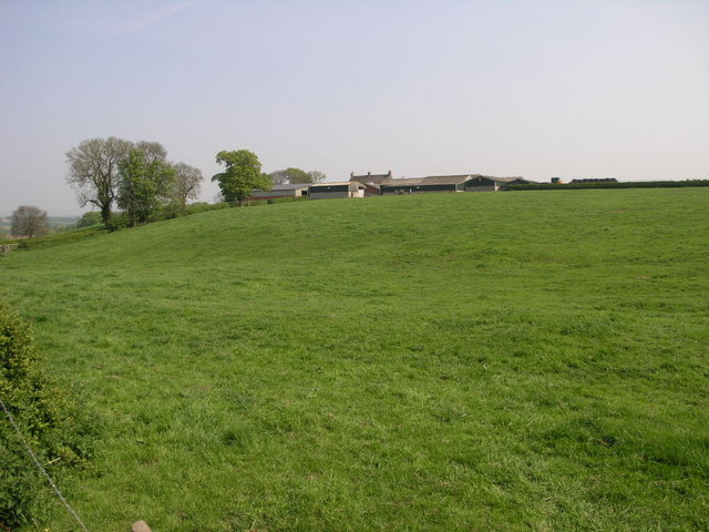
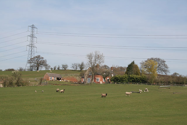
Bakers Pit Plantation is a woodland area located in Staffordshire, England. This beautiful plantation covers an expansive area and is renowned for its diverse range of flora and fauna. The plantation is situated in the heart of Staffordshire, surrounded by picturesque landscapes and rolling hills.
The woodland is predominantly composed of broadleaf trees, including oak, beech, and birch, which provide a rich canopy cover. These trees create a serene and peaceful atmosphere, making it a popular destination for nature enthusiasts, hikers, and photographers alike.
Bakers Pit Plantation is also home to a variety of wildlife. Visitors may spot a range of bird species, including woodpeckers, owls, and various songbirds. The woodland floor is adorned with a vibrant array of wildflowers and ferns, providing a habitat for numerous insects and small animals.
The plantation offers several well-marked trails and footpaths, allowing visitors to explore the woodland at their leisure. These pathways meander through thickets of trees, revealing hidden treasures such as babbling brooks and enchanting glades.
Bakers Pit Plantation is well-maintained by local authorities, ensuring a pleasant experience for visitors. The woodland is equipped with picnic areas and benches, providing opportunities for relaxation and enjoyment of the natural surroundings. Additionally, there are informative signs throughout the plantation, educating visitors about the diverse flora and fauna that call this woodland home.
Overall, Bakers Pit Plantation in Staffordshire is a haven for nature lovers and those seeking tranquility in the heart of the English countryside.
If you have any feedback on the listing, please let us know in the comments section below.
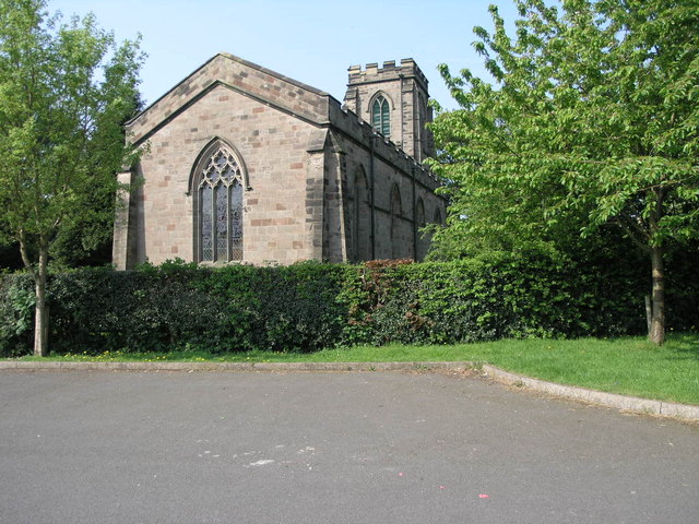
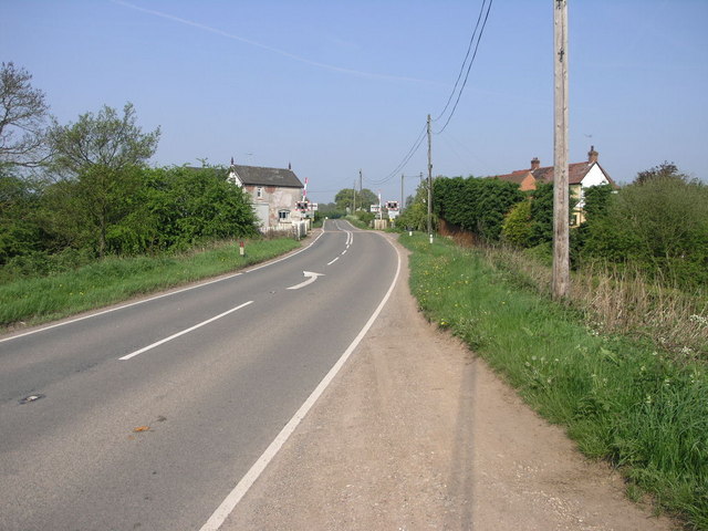
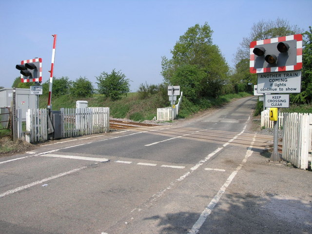
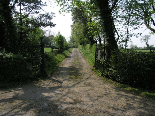
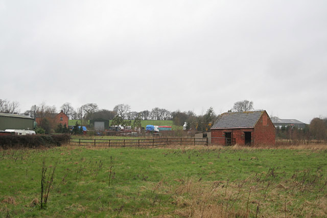
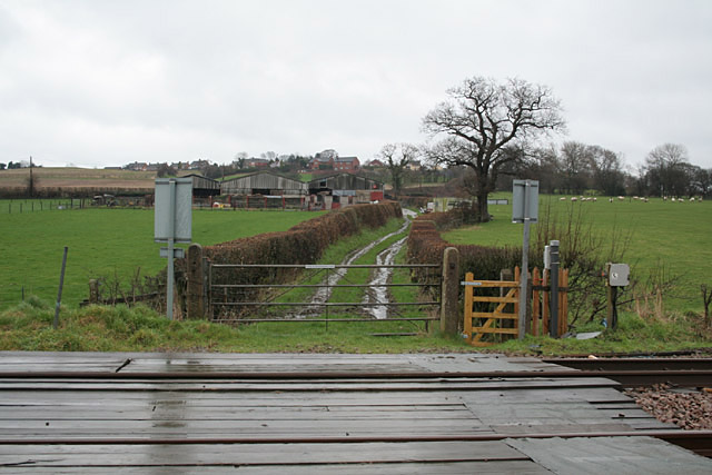
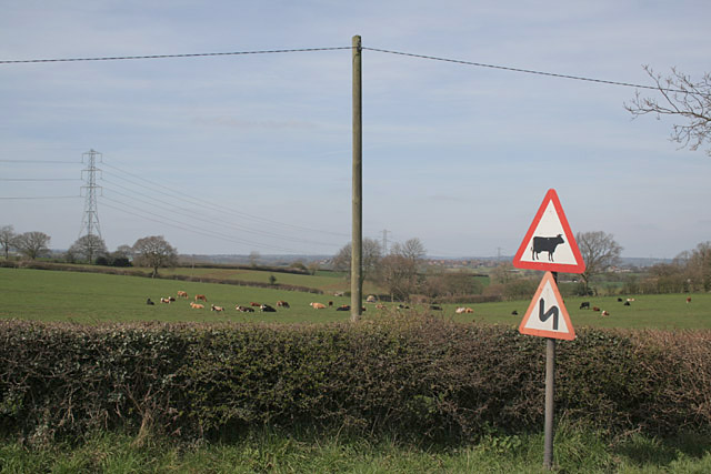
Bakers Pit Plantation Images
Images are sourced within 2km of 52.891117/-1.9010746 or Grid Reference SK0632. Thanks to Geograph Open Source API. All images are credited.


Bakers Pit Plantation is located at Grid Ref: SK0632 (Lat: 52.891117, Lng: -1.9010746)
Administrative County: Staffordshire
District: East Staffordshire
Police Authority: Staffordshire
What 3 Words
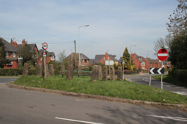
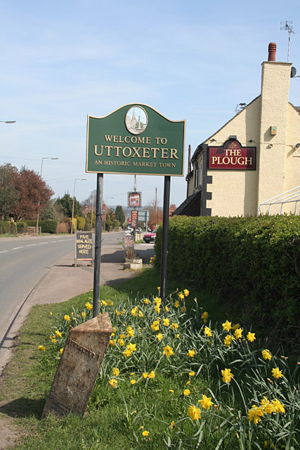
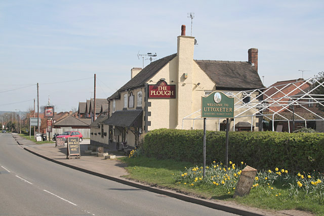
///establish.converged.inspects. Near Uttoxeter, Staffordshire
Related Wikis
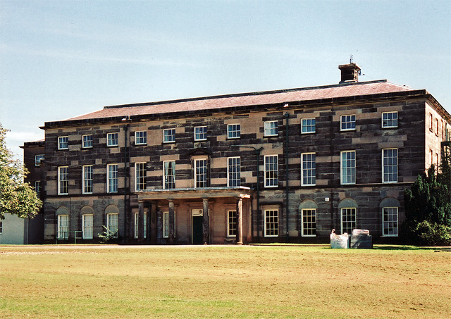
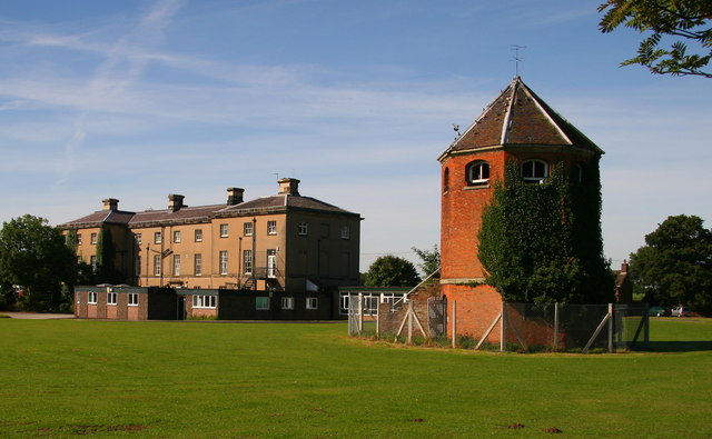
Loxley Hall
Loxley Hall is an early-19th-century country house near Uttoxeter, Staffordshire, now occupied by a Staffordshire County Council special school for boys...

Bramshall
Bramshall is a village and former civil parish, now in the parish of Uttoxeter Rural, in the East Staffordshire district, in the county of Staffordshire...

Bromshall railway station
Bromshall railway station was a short lived railway station in Staffordshire, England. The railway line between Stoke-on-Trent and Uttoxeter was opened...

Uttoxeter Rural
Uttoxeter Rural is a civil parish in the borough of East Staffordshire, Staffordshire, England, comprising the villages of Stramshall and Bramshall. It...
Uttoxeter Town F.C.
Uttoxeter Town F.C. is an English football club based in Uttoxeter, Staffordshire. They currently play in the North West Counties League Division One...

Oldfields Ground
Oldfields Ground is a cricket ground in Uttoxeter, Staffordshire. The first recorded match on the ground was in 1905, when Staffordshire played Bedfordshire...
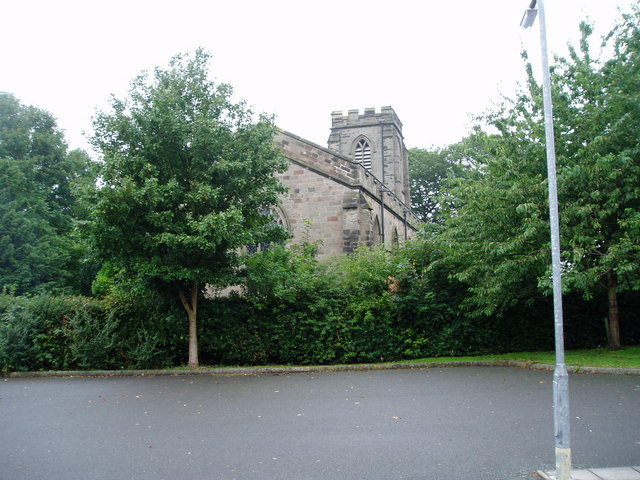
St Mary's Catholic Church, Uttoxeter
St Mary's Catholic Church is a Roman Catholic church in Uttoxeter, Staffordshire, United Kingdom. It opened in 1839; to avoid confusion with the other...
The Heath, Staffordshire
The Heath is an area in Uttoxeter in Staffordshire, close to the border with Derbyshire. The Heath was once a separate settlement, but it is now considered...
Nearby Amenities
Located within 500m of 52.891117,-1.9010746Have you been to Bakers Pit Plantation?
Leave your review of Bakers Pit Plantation below (or comments, questions and feedback).