Cupar Muir
Settlement in Fife
Scotland
Cupar Muir

Cupar Muir is a small village located in the county of Fife, Scotland. Situated approximately 5 miles southwest of the town of Cupar, the village sits in a rural setting surrounded by picturesque farmland and rolling hills.
With a population of around 300 residents, Cupar Muir maintains a tight-knit community atmosphere. The village is predominantly residential, with a few small businesses and farms scattered throughout the area. The architecture in Cupar Muir is traditional, with many stone-built houses and cottages that add to the village's charm.
The village benefits from its close proximity to Cupar, which provides access to a wider range of amenities, including shops, supermarkets, schools, and healthcare facilities. Cupar Muir itself has limited amenities, but its peaceful and idyllic surroundings compensate for this.
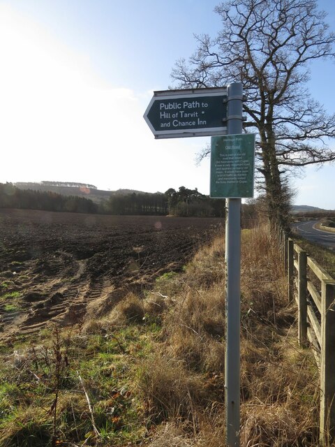
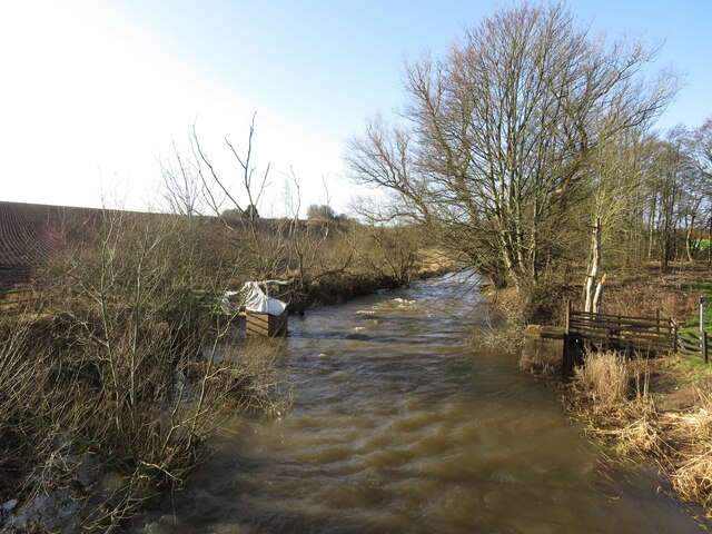
Nature enthusiasts will find plenty to explore in the surrounding area. The Muir itself, a large expanse of open land adjacent to the village, offers opportunities for outdoor activities such as walking, cycling, and birdwatching. The nearby Lomond Hills Regional Park is also within reach, providing stunning panoramic views and a variety of hiking trails.
Cupar Muir is well-connected by road, with the A91 passing nearby, offering easy access to the neighboring towns of St. Andrews, Dundee, and Perth. Public transportation options, such as buses, are available, ensuring connectivity to the wider region.
In summary, Cupar Muir is a tranquil village nestled in the beautiful countryside of Fife, offering a peaceful retreat for its residents while providing easy access to the amenities of nearby Cupar and the natural beauty of the surrounding area.
If you have any feedback on the listing, please let us know in the comments section below.
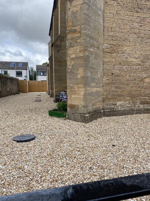
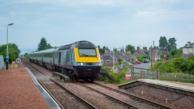
Cupar Muir Images
Images are sourced within 2km of 56.307481/-3.035603 or Grid Reference NO3613. Thanks to Geograph Open Source API. All images are credited.


Cupar Muir is located at Grid Ref: NO3613 (Lat: 56.307481, Lng: -3.035603)
Unitary Authority: Fife
Police Authority: Fife
What 3 Words
///riverside.gulped.shredding. Near Cupar, Fife
Nearby Locations
Related Wikis

Cupar Muir
Cupar Muir or Cuparmuir is a hamlet or small village situated just outside the town of Cupar, Fife. Lying around 25.5 miles (41 km) north of Edinburgh...

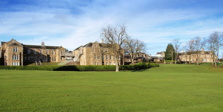
Bell Baxter High School
Bell Baxter High School is a non-denominational comprehensive school for 11 to 18 year olds in Cupar, Fife, Scotland. Founded in 1889, it educates over...

Stratheden Hospital
Stratheden Hospital is currently a small community hospital in Stratheden, Cupar, Fife which was originally called Fife and Kinross District Asylum. Its...
Stratheden, Fife
Stratheden (Gaelic: Srath Aodainn) is a hamlet 2 miles west of Cupar, and just north of Springfield, in Fife, Scotland. Stratheden Hospital was built as...
Nearby Amenities
Located within 500m of 56.307481,-3.035603Have you been to Cupar Muir?
Leave your review of Cupar Muir below (or comments, questions and feedback).