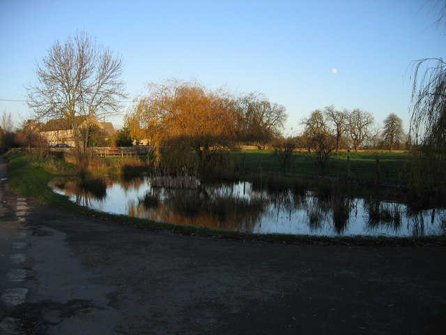
Waterton Copse

Wood, Forest in Gloucestershire Cotswold

England

Waterton Copse

Stone Stile, Driffield Just NW of the village, Gloucestershire footpath BDD12 looking North. The view SW is <a href="https://www.geograph.org.uk/photo/7069629">SU0799 : Stone Stile, Driffield</a>.
Stone Stile, Driffield Credit: Mr Red

Waterton Copse is a picturesque wood located in the county of Gloucestershire, England. Situated in the heart of the charming village of Waterton, this forested area offers visitors a tranquil and beautiful escape from the bustle of everyday life.

Covering an area of approximately 20 acres, Waterton Copse is predominantly made up of deciduous trees, including oak, beech, and birch. The dense woodland canopy provides ample shade and creates a soothing atmosphere, making it an ideal destination for nature enthusiasts and those seeking solace in nature.

The forest floor is adorned with a rich carpet of ferns, wildflowers, and moss, adding to the enchanting ambiance of the copse. The diverse vegetation also attracts a variety of wildlife, including squirrels, deer, and a range of bird species, making it a popular spot for birdwatchers and wildlife enthusiasts.

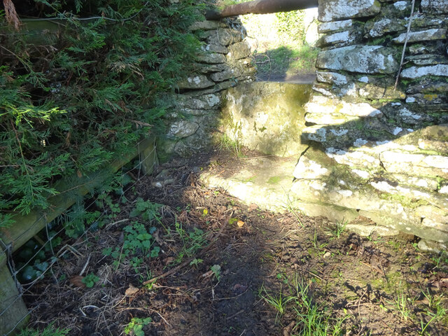
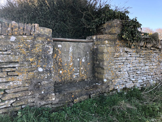
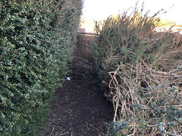
A network of well-maintained footpaths winds its way through the copse, allowing visitors to explore and appreciate the natural beauty of the area. These paths are suitable for walkers of all abilities and offer opportunities for both short strolls and longer hikes.

Waterton Copse is well-loved by the local community, who often use it for recreational activities such as picnicking, dog walking, and family outings. The copse also hosts outdoor events throughout the year, including guided nature walks and educational programs for children.

Overall, Waterton Copse in Gloucestershire is a haven of tranquility and natural beauty, offering visitors a chance to escape into the peaceful embrace of nature.

If you have any feedback on the listing, please let us know in the comments section below.

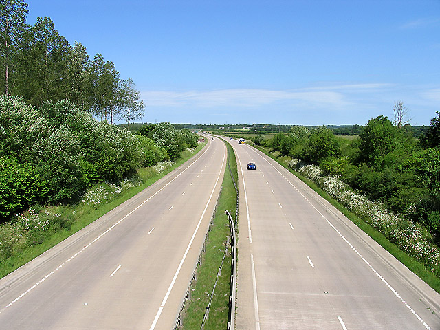
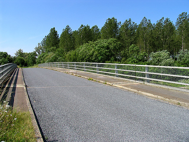
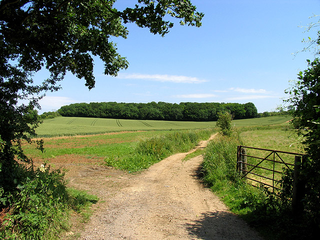
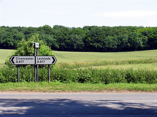
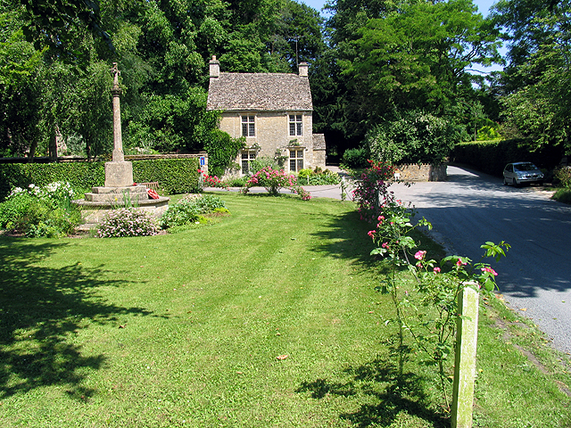
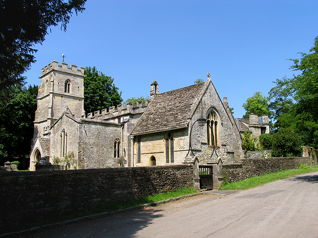
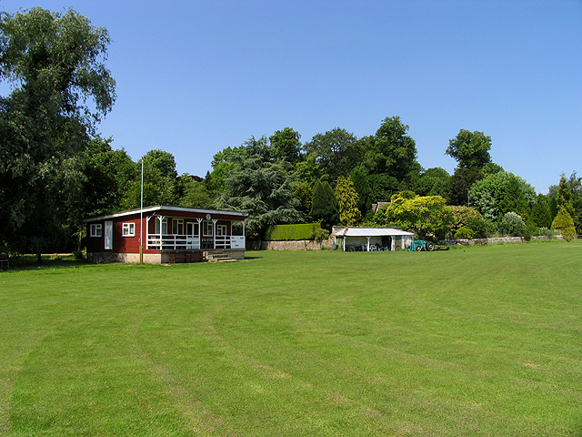
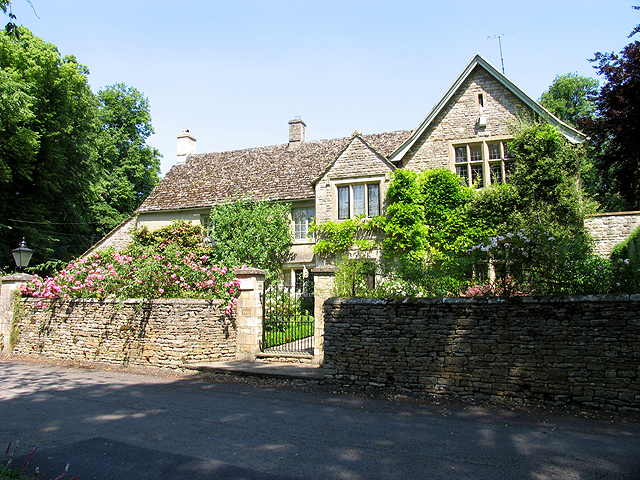
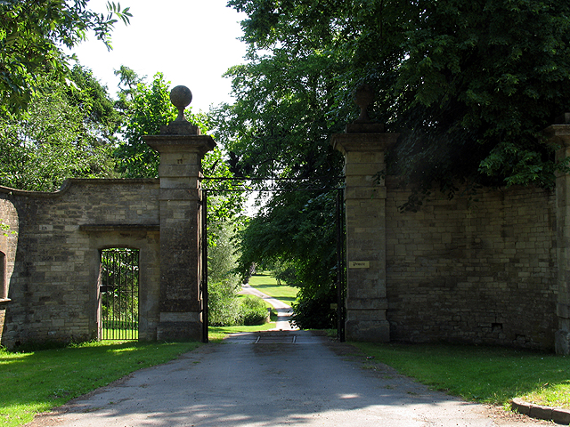
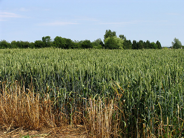
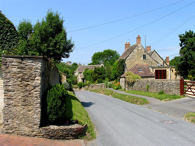
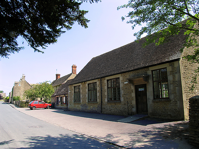
Waterton Copse Images

Images are sourced within 2km of 51.709813/-1.9066035 or Grid Reference SP0601. Thanks to Geograph Open Source API. All images are credited.

Stone Stile, Driffield Just NW of the village, Gloucestershire footpath BDD12 looking North. The view SW is <a href="https://www.geograph.org.uk/photo/7069629">SU0799 : Stone Stile, Driffield</a>.
Stone Stile, Driffield
Just NW of the village, Gloucestershire footpath BDD12 looking North. The view SW is SU0799 : Stone Stile, Driffield.
Stone Stile, Driffield Just NW of the village, Gloucestershire footpath BDD12 looking SW. The view North is <a href="https://www.geograph.org.uk/photo/7069627">SU0799 : Stone Stile, Driffield</a>.
Stone Stile, Driffield
Just NW of the village, Gloucestershire footpath BDD12 looking SW. The view North is SU0799 : Stone Stile, Driffield.
Stone Stile Driffield Along the drive of Hillside, at their rear wall on Gloucestershire footpath BDD11 looking NE. The view from the field is <a href="https://www.geograph.org.uk/photo/7270798">SU0799 : Stone Stile Driffield</a>.
Stone Stile Driffield
Along the drive of Hillside, at their rear wall on Gloucestershire footpath BDD11 looking NE. The view from the field is SU0799 : Stone Stile Driffield.
Stone Stile Driffield Along the drive of Hillside, at their rear wall on Gloucestershire footpath BDD11 looking NE. The view from the field is <a href="https://www.geograph.org.uk/photo/7270797">SU0799 : Stone Stile Driffield</a>.
Stone Stile Driffield
Along the drive of Hillside, at their rear wall on Gloucestershire footpath BDD11 looking NE. The view from the field is SU0799 : Stone Stile Driffield.
Minor road to Driffield
A narrow Gloucestershire lane
A417 (T) near Cirencester A view of the A417 (T) in the south eastern section of the square. The square consists of this road, Witpit lane, a byway, farmland and a copse.
A417 (T) near Cirencester
A view of the A417 (T) in the south eastern section of the square. The square consists of this road, Witpit lane, a byway, farmland and a copse.
Bridge over the A417(T) near Cirencester The bridge carries Witpit Lane over the A417. This view is taken from the north east looking towards the plantation in the south east section of the square.
Bridge over the A417(T) near Cirencester
The bridge carries Witpit Lane over the A417. This view is taken from the north east looking towards the plantation in the south east section of the square.
Merrilhill Copse Looking northish from the dirt track opposite Witpit Lane where it intersects with the A417.
Merrilhill Copse
Looking northish from the dirt track opposite Witpit Lane where it intersects with the A417.
Intersection of the A417 and Witpit Lane This intersection with a view of the farmland typical of this square, is in the south western section of the square. The square is mostly farmland.
Intersection of the A417 and Witpit Lane
This intersection with a view of the farmland typical of this square, is in the south western section of the square. The square is mostly farmland.
War Memorial at Ampney Crucis This part of the village is in the north eastern section of the square. In the vicinity of the memorial one will find the cricket pitch, the rectory, a hotel and the church. Two roads pass through the square. The majority of the physical geography is farmland. The residence seen in this picture is also typical of residences in this region.
War Memorial at Ampney Crucis
This part of the village is in the north eastern section of the square. In the vicinity of the memorial one will find the cricket pitch, the rectory, a hotel and the church. Two roads pass through the square. The majority of the physical geography is farmland. The residence seen in this picture is also typical of residences in this region.
Church in Ampney Crucis The church is in the north western section of the square.
Church in Ampney Crucis
The church is in the north western section of the square.
Ampney Crucis Cricket Club The cricket field and clubhouse is north of the stream and the hotel, in the northern half of the square.
Ampney Crucis Cricket Club
The cricket field and clubhouse is north of the stream and the hotel, in the northern half of the square.
The Rectory: Ampney Crucis The rectory lies between the Church and the War Memorial in the north eastern section of the square.
The Rectory: Ampney Crucis
The rectory lies between the Church and the War Memorial in the north eastern section of the square.
Entrance to Ampney Park The entrance, photographed from the A417 is in the north western section of the square. Most of Ampney park is in a different square.
Entrance to Ampney Park
The entrance, photographed from the A417 is in the north western section of the square. Most of Ampney park is in a different square.
Dudley Farmland The square is mostly farmland and this view is of wheat being grown in the south eastern section of the square.
Dudley Farmland
The square is mostly farmland and this view is of wheat being grown in the south eastern section of the square.
Main street in Ampney Crucis These houses along the minor road passing through the southern half of the square is typical of residences in this village.
Main street in Ampney Crucis
These houses along the minor road passing through the southern half of the square is typical of residences in this village.
Ampney Crucis: Village Hall The village hall is in the south eastern section of the square. This square consists of village and Ampney park and farms.
Ampney Crucis: Village Hall
The village hall is in the south eastern section of the square. This square consists of village and Ampney park and farms.
Show me another place!

Waterton Copse is located at Grid Ref: SP0601 (Lat: 51.709813, Lng: -1.9066035)

Administrative County: Gloucestershire

District: Cotswold

Police Authority: Gloucestershire

What 3 Words

///create.hairspray.ruin. Near South Cerney, Gloucestershire

Related Wikis

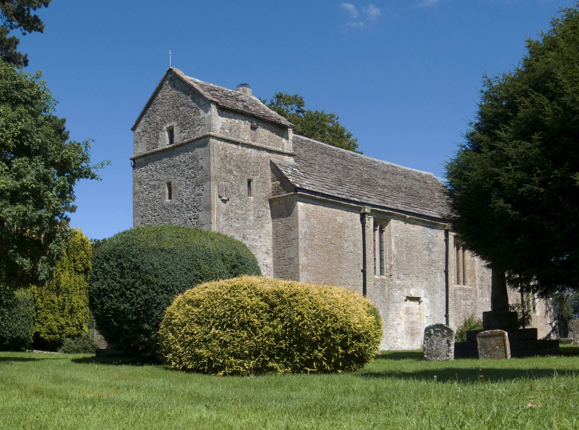
Church of the Holy Rood, Ampney Crucis

The Anglican Church of the Holy Rood at Ampney Crucis in the Cotswold District of Gloucestershire, England has Saxon foundations with some of the stonework...

Ampney Crucis

Ampney Crucis is a village and civil parish in the Cotswolds, part of the Cotswold District of Gloucestershire, England. The village is in the Ampney-Coln...

Harnhill

Harnhill is a village and former civil parish now in the parish of Driffield, in the Cotswold district, in the county of Gloucestershire, England. It is...

Ampney Park

Ampney Park is a 16th century manor house at Ampney Crucis, Gloucestershire, England. It is a Grade II listed building. == History == The estate is attached...

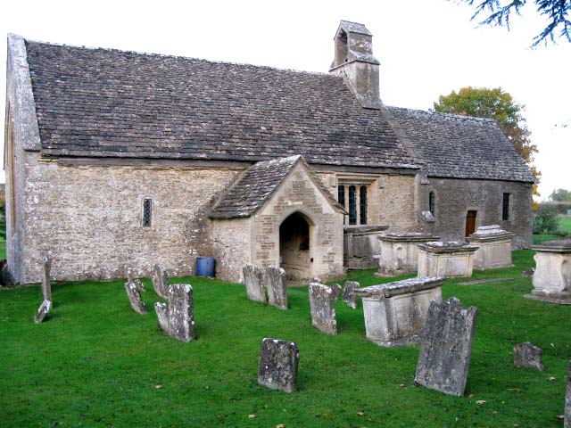
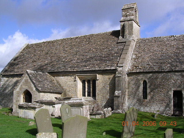
Church of St Mary, Ampney St Mary

The Anglican Church of St Mary at Ampney St Mary in the Cotswold District of Gloucestershire, England was built in the 12th and 13th centuries. It is a...

Ampney St Peter

Ampney St Peter is a small village and civil parish in the Cotswolds, part of the Cotswold of Gloucestershire, England. According to the 2014 mid year...

Driffield, Gloucestershire

Driffield is a village and civil parish in the Cotswold district of Gloucestershire, England. It is situated 3+1⁄2 miles (5.6 km) east-south-east of Cirencester...

Ampney St Mary

Ampney St Mary is a small village and civil parish in the Cotswolds, part of the Cotswold District of Gloucestershire, England. According to the 2001 census...

Nearby Amenities

Located within 500m of 51.709813,-1.9066035
Bus Stop
Crown of Crucis Hotel
Bus: yes
Naptan AtcoCode: 1600GLC039
Naptan Bearing: E
Naptan CommonName: Crown of Crucis Hotel
Naptan NaptanCode: glogawaw
Naptan Street: London Rd A417
Naptan Verified: no
Public Transport: platform
Source: naptan_import
Lat/Long: 51.7142606/-1.9056405
Bus Stop
Crown of Crucis Hotel
Bus: yes
Naptan AtcoCode: 1600GLC040
Naptan Bearing: W
Naptan CommonName: Crown of Crucis Hotel
Naptan Indicator: Opp
Naptan NaptanCode: glogawat
Naptan Street: London Rd A417
Naptan Verified: no
Public Transport: platform
Source: naptan_import
Lat/Long: 51.7142068/-1.9058143
Power: pole
Lat/Long: 51.7136733/-1.9099333
Power: pole
Lat/Long: 51.713623/-1.9085206
Power: pole
Lat/Long: 51.7135499/-1.9071546
Power: pole
Lat/Long: 51.7135008/-1.9057276
Power: pole
Lat/Long: 51.713201/-1.9044104
Power: pole
Lat/Long: 51.7128925/-1.9030281
Power: pole
Lat/Long: 51.7126103/-1.9018369
The data included in this document is from www.openstreetmap.org. The data is made available under ODbL.

Have you been to Waterton Copse?

Leave your review of Waterton Copse below (or comments, questions and feedback).