Lumpool Plantation

Wood, Forest in Staffordshire Staffordshire Moorlands

England

Lumpool Plantation

The triangulation pillar on Revidge Moor Just beyond it someone has created the shape of a creature - perhaps a dog or a dragon - using rocks found nearby.
The triangulation pillar on Revidge Moor Credit: Neil Theasby

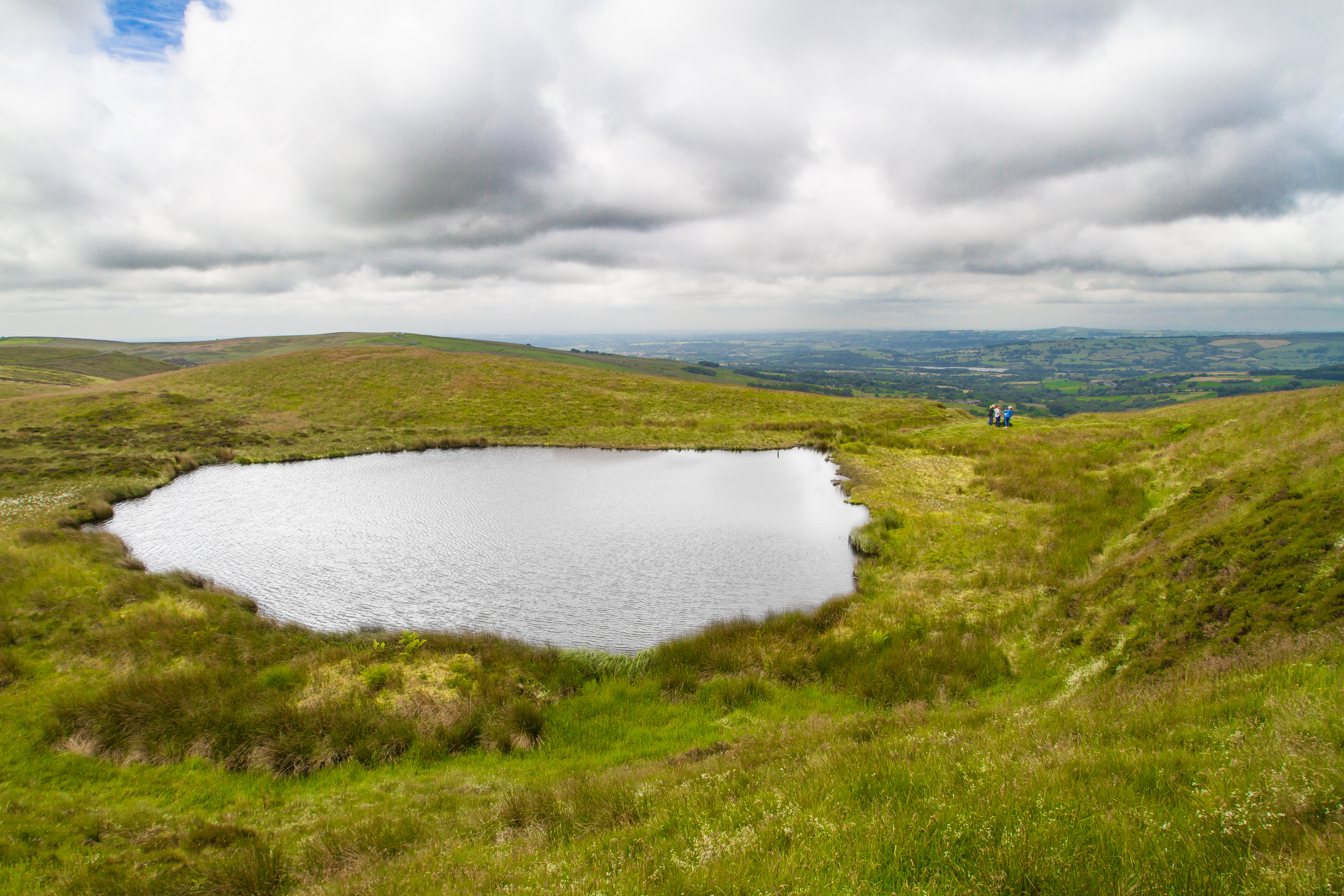
Lumpool Plantation is a beautiful woodland area located in Staffordshire, England. Situated in the heart of the county, this plantation covers a vast area of lush greenery and is home to a diverse range of flora and fauna.

The plantation is predominantly made up of various species of trees, including oak, beech, and pine, which create a dense forest-like atmosphere. The tall and majestic trees provide ample shade and create a serene environment for visitors to explore and relax in. The woodland floor is covered in a thick layer of fallen leaves, making it a perfect spot for nature lovers to take peaceful walks and immerse themselves in the natural beauty that surrounds them.

Lumpool Plantation is also known for its thriving wildlife population. Visitors may be lucky enough to spot various species of birds, such as woodpeckers and owls, flitting through the treetops. Additionally, the plantation is home to small mammals like squirrels and rabbits, which can often be seen scurrying through the undergrowth.

The plantation offers several well-marked walking trails, allowing visitors to fully experience the enchanting atmosphere of the woodland. These trails cater to different levels of fitness and range from short, leisurely strolls to longer, more challenging hikes. Along these paths, there are also designated picnic areas and benches where visitors can take a break and enjoy a packed lunch amidst the tranquility of the woodland.

Overall, Lumpool Plantation in Staffordshire is a true natural gem, providing a peaceful escape from the hustle and bustle of everyday life. Whether you are a nature enthusiast, a keen walker, or simply someone seeking solace in the beauty of the outdoors, this woodland paradise is a must-visit destination.

If you have any feedback on the listing, please let us know in the comments section below.

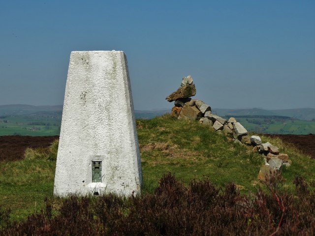
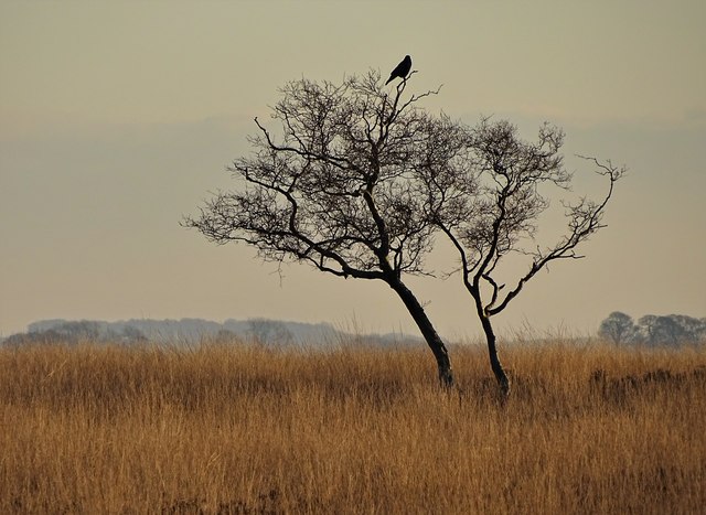
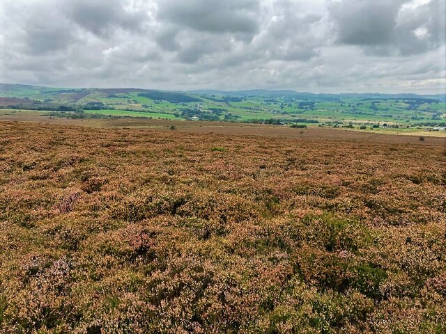
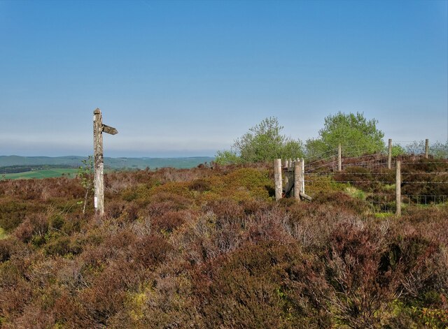
Lumpool Plantation Images

Images are sourced within 2km of 53.148102/-1.9054505 or Grid Reference SK0661. Thanks to Geograph Open Source API. All images are credited.

The triangulation pillar on Revidge Moor Just beyond it someone has created the shape of a creature - perhaps a dog or a dragon - using rocks found nearby.
The triangulation pillar on Revidge Moor
Just beyond it someone has created the shape of a creature - perhaps a dog or a dragon - using rocks found nearby.
Track through a wood east of Revidge Moor
Stoneyfold Lane
Stoneyfold Lane
Rough moorland pasture north of Averhill Side Sitting atop the spindly tree is an unidentified bird - surveying its domain. From studying an enhanced and magnified image, I suspect that it was a bird of prey though it may have been a corvid.
Rough moorland pasture north of Averhill Side
Sitting atop the spindly tree is an unidentified bird - surveying its domain. From studying an enhanced and magnified image, I suspect that it was a bird of prey though it may have been a corvid.
Triangulation Pillar and Cairn on Revidge Moor
Valley and woodland A large area of woodland with poor quality farmland.
Valley and woodland
A large area of woodland with poor quality farmland.
Revidge Moor and Trigpoint Revidge Trigpoint  <span class="nowrap"><a title="https://trigpointing.uk/trig/5641" rel="nofollow ugc noopener" href="https://trigpointing.uk/trig/5641">Link</a><img style="margin-left:2px;" alt="External link" title="External link - shift click to open in new window" src="https://s1.geograph.org.uk/img/external.png" width="10" height="10"/></span>

Revidge Hill (TuMP / Ethel)  <span class="nowrap"><a title="https://www.hill-bagging.co.uk/mountaindetails.php?qu=S&rf=16546" rel="nofollow ugc noopener" href="https://www.hill-bagging.co.uk/mountaindetails.php?qu=S&rf=16546">Link</a><img style="margin-left:2px;" alt="External link" title="External link - shift click to open in new window" src="https://s1.geograph.org.uk/img/external.png" width="10" height="10"/></span>
Revidge Moor and Trigpoint
Revidge Trigpoint LinkExternal link Revidge Hill (TuMP / Ethel) LinkExternal link
Staffordshire Moorlands Averhill Side farm track.
Staffordshire Moorlands
Averhill Side farm track.
Rebuilt  drystone wall Smart new dry stone walling at the moorland edge. This has been built in the generic modern peak style, which has gradually replaced the plethora of local styles that often varied from parish to parish.
Rebuilt drystone wall
Smart new dry stone walling at the moorland edge. This has been built in the generic modern peak style, which has gradually replaced the plethora of local styles that often varied from parish to parish.
Heather Moors and Access Land at Revidge Wood Looking north from a spot close to the summit of the hill.
Heather Moors and Access Land at Revidge Wood
Looking north from a spot close to the summit of the hill.
Old Boundary Marker near Cuckoostones Parish Boundary Marker on the west side of the lane south of Cuckoostones. Inscribed F and W on the gables. On the boundary of Fawfieldhead and Warslow and Elkstones parishes. See also <span class="nowrap"><a title="https://www.flickr.com/photos/57365958@N00/4974235658/in/photostream/" rel="nofollow ugc noopener" href="https://www.flickr.com/photos/57365958@N00/4974235658/in/photostream/">Link</a><img style="margin-left:2px;" alt="External link" title="External link - shift click to open in new window" src="https://s1.geograph.org.uk/img/external.png" width="10" height="10"/></span> and <span class="nowrap"><a title="https://www.flickr.com/photos/57365958@N00/4974235668/in/photostream/" rel="nofollow ugc noopener" href="https://www.flickr.com/photos/57365958@N00/4974235668/in/photostream/">Link</a><img style="margin-left:2px;" alt="External link" title="External link - shift click to open in new window" src="https://s1.geograph.org.uk/img/external.png" width="10" height="10"/></span>.

Milestone Society National ID: ST_FAWELK01pb
Old Boundary Marker near Cuckoostones
Parish Boundary Marker on the west side of the lane south of Cuckoostones. Inscribed F and W on the gables. On the boundary of Fawfieldhead and Warslow and Elkstones parishes. See also LinkExternal link and LinkExternal link. Milestone Society National ID: ST_FAWELK01pb
Farm track to Boarsgrove
Fair View at Newtown
Public footpath to Round Knowl
Old Boundary Markwe at Swallowmoss Plantation Parish Boundary Marker against the wall on the east side of the road at Swallowmoss Plantation. Todmorden parish. Letters F and W inscribed on its gables. On the boundary of Fawfieldhead and Warslow and Elkstones parishes. See also <span class="nowrap"><a title="https://www.flickr.com/photos/57365958@N00/4974219532/in/photostream/" rel="nofollow ugc noopener" href="https://www.flickr.com/photos/57365958@N00/4974219532/in/photostream/">Link</a><img style="margin-left:2px;" alt="External link" title="External link - shift click to open in new window" src="https://s1.geograph.org.uk/img/external.png" width="10" height="10"/></span> and <span class="nowrap"><a title="https://www.flickr.com/photos/57365958@N00/4974219530/in/photostream/" rel="nofollow ugc noopener" href="https://www.flickr.com/photos/57365958@N00/4974219530/in/photostream/">Link</a><img style="margin-left:2px;" alt="External link" title="External link - shift click to open in new window" src="https://s1.geograph.org.uk/img/external.png" width="10" height="10"/></span>.

Milestone Society National ID: ST_FAWELK02pb
Old Boundary Markwe at Swallowmoss Plantation
Parish Boundary Marker against the wall on the east side of the road at Swallowmoss Plantation. Todmorden parish. Letters F and W inscribed on its gables. On the boundary of Fawfieldhead and Warslow and Elkstones parishes. See also LinkExternal link and LinkExternal link. Milestone Society National ID: ST_FAWELK02pb
Stone Stile, Fawfieldhead On Staffordshire footpath Fawfieldhead 26 looking West of the road, near Shawfield and Frost Lane.
Stone Stile, Fawfieldhead
On Staffordshire footpath Fawfieldhead 26 looking West of the road, near Shawfield and Frost Lane.
Stone Stile, Fawfieldhead On Staffordshire footpath Fawfieldhead 26, looking NE off the road. NE of Lower Fleetgreen.
Stone Stile, Fawfieldhead
On Staffordshire footpath Fawfieldhead 26, looking NE off the road. NE of Lower Fleetgreen.
Access Land sign, near Averhill Side Scrubby moorland, below Lum Edge.
Access Land sign, near Averhill Side
Scrubby moorland, below Lum Edge.
Show me another place!

Lumpool Plantation is located at Grid Ref: SK0661 (Lat: 53.148102, Lng: -1.9054505)

Administrative County: Staffordshire

District: Staffordshire Moorlands

Police Authority: Staffordshire

What 3 Words

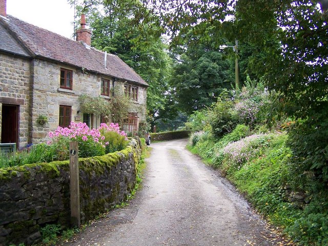
///lecturing.whisker.bashful. Near Leek, Staffordshire

Related Wikis

Merryton Low

Merryton Low is a hill in Staffordshire, England, a few miles east of Leek. It is in the civil parish of Fawfieldhead in the local government district...

Blakemere Pond

Blakemere Pond, also known as Black Mere Pool or Mermaid's Pond, is a small, natural lake in Staffordshire, England, six miles north-west of Leek. The...

Fawfieldhead

Fawfieldhead is a civil parish in Staffordshire, England. It is situated north-east of Leek and south of Buxton, in the Peak District National Park....

Warslow and Elkstones

Warslow and Elkstones is a civil parish in the district of Staffordshire Moorlands in north-east Staffordshire, England. It includes the village of Warslow...

Warslow

Warslow is a small village in Staffordshire, England. It is located in the Peak District National Park about 10 miles (16 km) north of Ashbourne. Although...

River Hamps

The River Hamps is a river in Staffordshire, England. It is a tributary of the River Manifold, which itself flows into the River Dove near Ilam. For much...

Elkstones

Elkstones is a small hamlet in the parish of Warslow and Elkstones, consisting of Upper Elkstone and Lower Elkstone. Situated high in the Staffordshire...

Ecton railway station

Ecton railway station was a station on the Leek and Manifold Light Railway. It served the hamlet of Ecton, Staffordshire. Today, the site is now part of...

Nearby Amenities

Located within 500m of 53.148102,-1.9054505
Ele: 322.0000000
Lat/Long: 53.1504186/-1.9077034
Ele: 303.0000000
Lat/Long: 53.1507354/-1.9037304
Barrier: stile
Ele: 350.0000000
Steps: 4
Stile: wall
Lat/Long: 53.1488195/-1.9127814
Barrier: stile
Ele: 344.0000000
Material: stone
Source: survey;gps
Stile: squeezer
Lat/Long: 53.1487937/-1.9116526
Barrier: stile
Ele: 334.0000000
Material: stone
Source: survey;gps
Steps: 2
Stile: stepover
Lat/Long: 53.1501681/-1.9094709
Ele: 301.0000000
Lat/Long: 53.1502848/-1.9021579
Barrier: stile
Ele: 301.0000000
Material: stone
Source: survey
Steps: 2
Stile: stepover
Lat/Long: 53.1503147/-1.9017397
Barrier: stile
Material: wood
Source: survey;gps
Stile: stepover
Lat/Long: 53.1489349/-1.9005081
Barrier: stile
Material: stone
Source: survey;gps
Stile: squeezer
Lat/Long: 53.1499698/-1.9019509
The data included in this document is from www.openstreetmap.org. The data is made available under ODbL.

Have you been to Lumpool Plantation?

Leave your review of Lumpool Plantation below (or comments, questions and feedback).