Cumwhitton
Settlement in Cumberland Carlisle
England
Cumwhitton
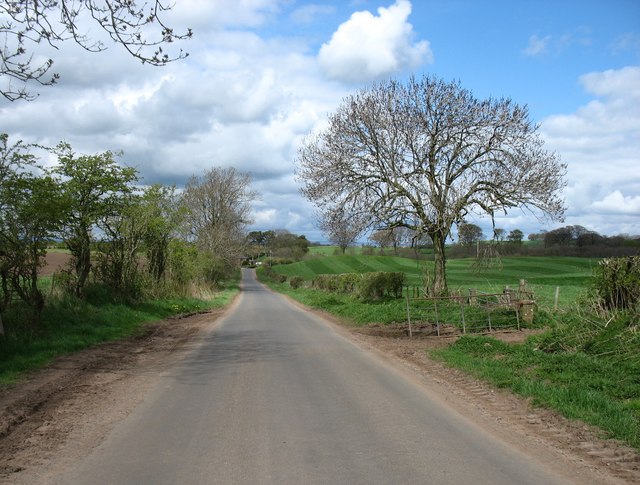
Cumwhitton is a small village located in the county of Cumberland, in the northwest of England. Situated in the picturesque Eden Valley, it lies approximately 12 miles east of the city of Carlisle. The village is surrounded by rolling hills and is characterized by its charming rural setting.
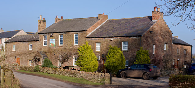
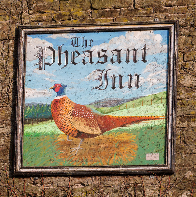
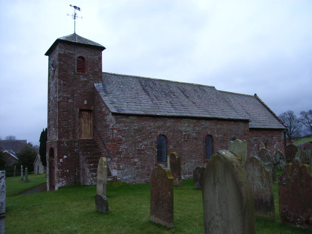
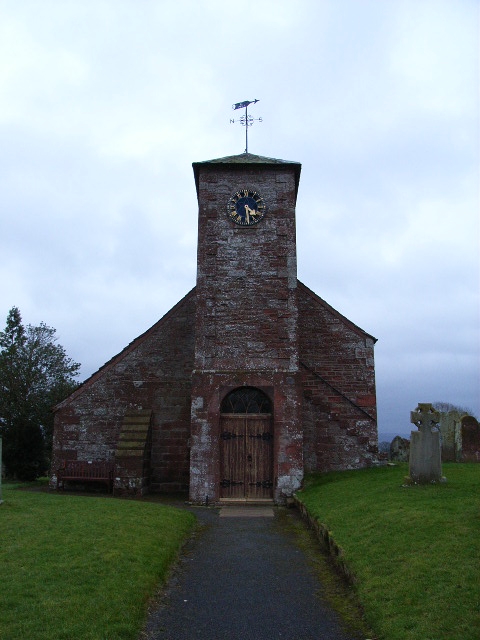
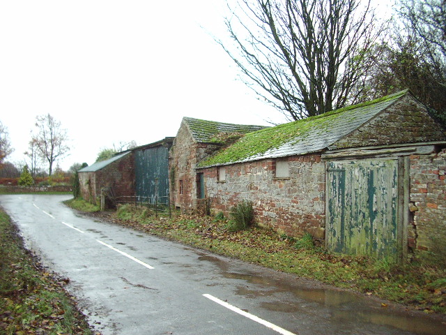
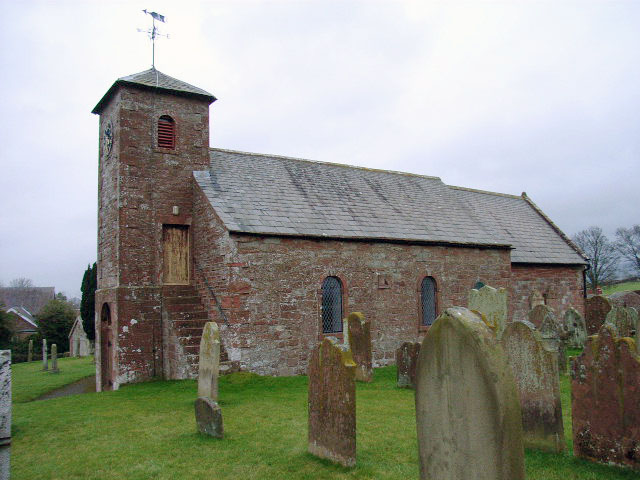
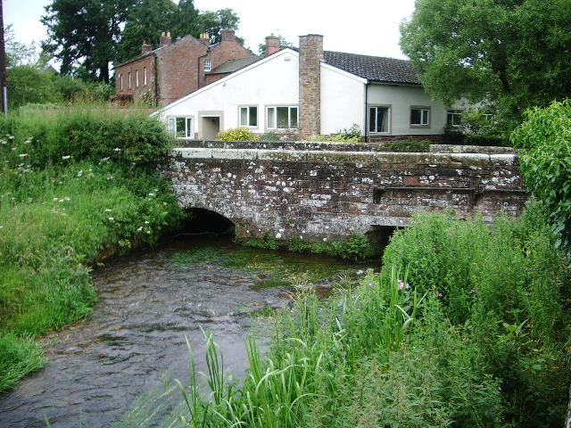
With a population of around 200 residents, Cumwhitton is a close-knit and friendly community. The village is known for its traditional stone-built houses and buildings, which add to its quaint and timeless appeal. The center of Cumwhitton features a small village green, a parish church, and a local pub, providing a focal point for social gatherings and community events.
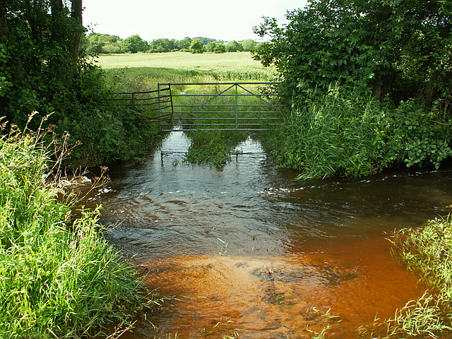
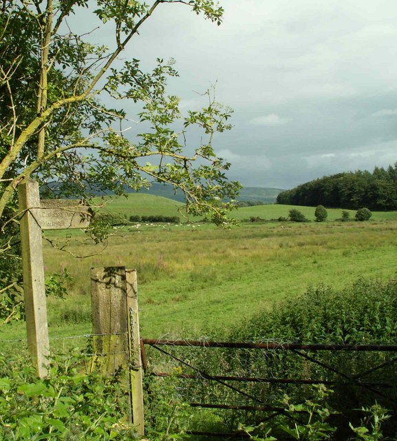
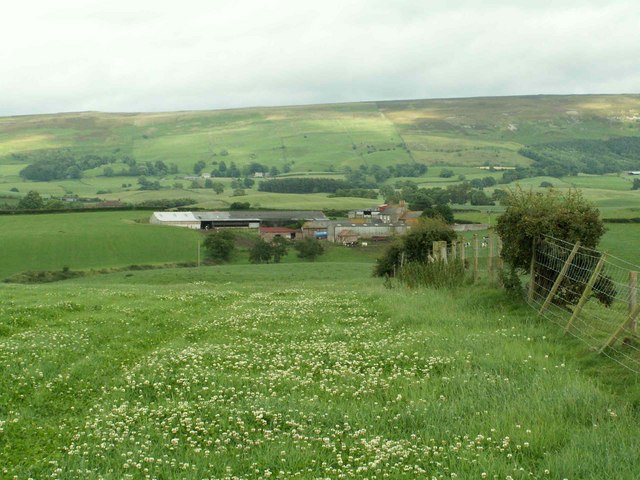
The area around Cumwhitton offers ample opportunities for outdoor activities and exploration. The village is located near the North Pennines Area of Outstanding Natural Beauty, which is renowned for its stunning landscapes and diverse wildlife. Visitors and locals alike can enjoy walking, hiking, and cycling along the scenic paths and trails that crisscross the countryside.
Historically, Cumwhitton has strong ties to agriculture, with farming playing a significant role in the local economy. The surrounding fields are used for grazing livestock and growing crops, contributing to the area's rural character.
Overall, Cumwhitton embodies the idyllic English countryside, offering a peaceful and picturesque setting for residents and visitors alike. Its rich history, natural beauty, and strong community spirit make it a charming place to visit or call home.
If you have any feedback on the listing, please let us know in the comments section below.
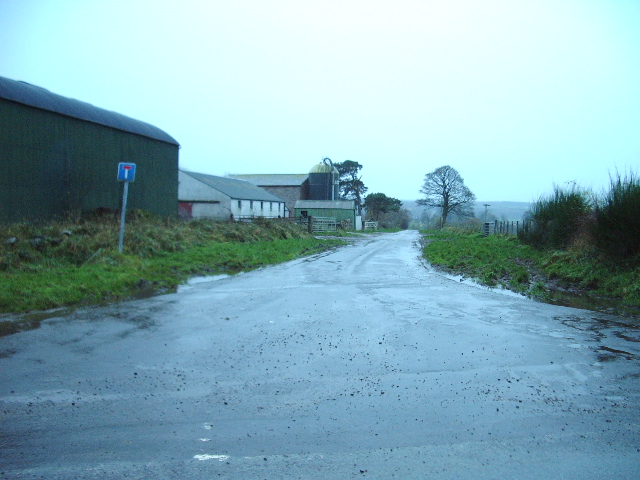
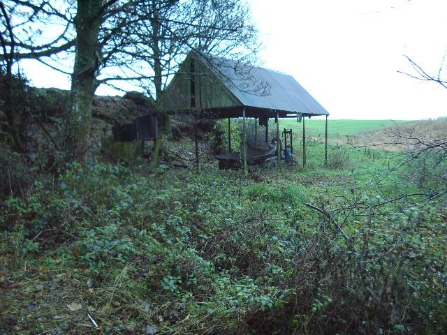
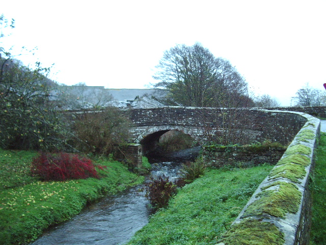
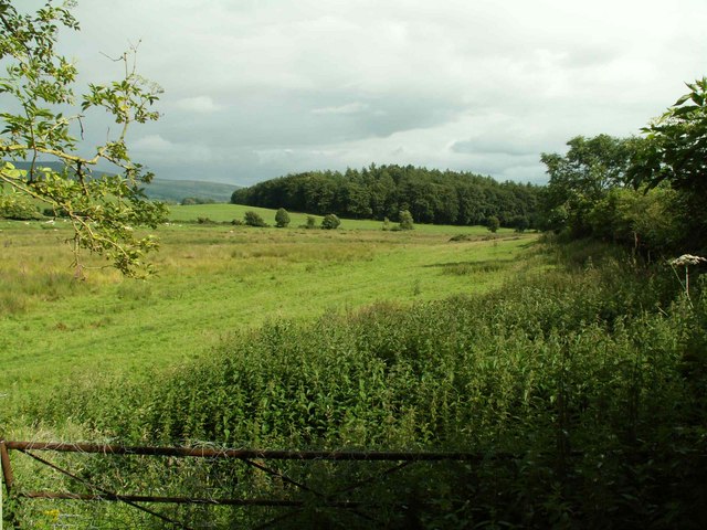
Cumwhitton Images
Images are sourced within 2km of 54.862082/-2.772497 or Grid Reference NY5052. Thanks to Geograph Open Source API. All images are credited.


Cumwhitton is located at Grid Ref: NY5052 (Lat: 54.862082, Lng: -2.772497)
Administrative County: Cumbria
District: Carlisle
Police Authority: Cumbria
What 3 Words
///hopes.pulses.cropping. Near Wetheral, Cumbria
Nearby Locations
Related Wikis
Cumwhitton
Cumwhitton is a small village and civil parish close to Carlisle in Cumbria, England. It lies just east of the M6 and the nearest train station is located...

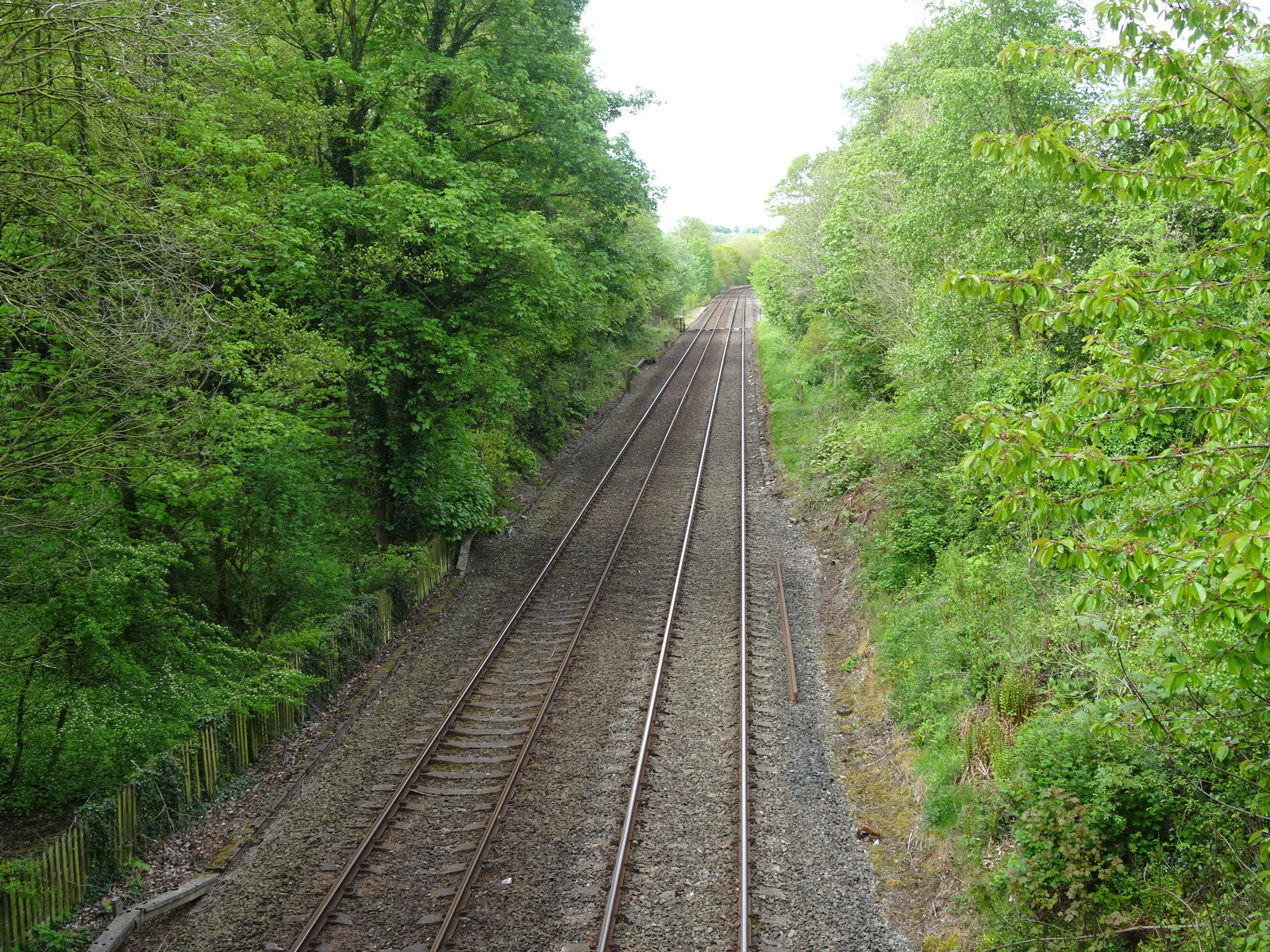
Cotehill railway station
Cotehill railway station was a railway station on the Settle-Carlisle Railway in England between Armathwaite and Cumwhinton. The line opened for passengers...

Faugh, Cumbria
Faugh is a small village situated to the East of the City of Carlisle and within 15 minutes of the Scottish Border. The village has always been English...

Heads Nook
Heads Nook is a village close to the market town of Brampton within the City of Carlisle district. It is in the English county of Cumbria. == Nearby... ==
Heads Nook railway station
Heads Nook railway station served the village of Heads Nook, south-west of Brampton, Cumbria, England. The station was on the Newcastle and Carlisle Railway...
Broadwath
Broadwath is a hamlet in the City of Carlisle district, in the English county of Cumbria. Broadwath is on Cairn Beck. Nearby settlements include the villages...

Great Corby
Great Corby is a village in northern Cumbria, England, above the eastern bank of a wooded gorge on the River Eden. Directly across the river from Great...

Fenton, Cumbria
Fenton is a small village in the City of Carlisle district, in the English county of Cumbria. It is near the small town of Brampton.
Nearby Amenities
Located within 500m of 54.862082,-2.772497Have you been to Cumwhitton?
Leave your review of Cumwhitton below (or comments, questions and feedback).