Colt Park Wood

Wood, Forest in Yorkshire Richmondshire

England

Colt Park Wood

Cairn on Marrick Moor High above Swaledale.
Cairn on Marrick Moor Credit: steven ruffles

Colt Park Wood is a picturesque woodland located in Yorkshire, England. Situated in the heart of the county, this enchanting forest covers an area of approximately 100 acres and is renowned for its natural beauty and diverse ecosystem.

The woodland is characterized by its dense canopy of towering oak and beech trees, which provide a serene and tranquil environment for visitors. The forest floor is adorned with a rich carpet of bluebells and wildflowers during the spring, creating a vibrant burst of color. The wood is also home to various species of wildlife, including deer, foxes, and a wide variety of bird species, making it a haven for nature enthusiasts and birdwatchers.

Colt Park Wood offers a range of walking trails and paths, allowing visitors to explore its hidden treasures. The trails wind their way through the forest, leading to secluded clearings and peaceful glades, perfect for picnicking or simply enjoying the serenity of nature.

Aside from its natural beauty, Colt Park Wood also holds historical significance. It is believed that the wood has been present for centuries, with remnants of ancient settlements and archaeological sites scattered throughout the area. These historical artifacts provide valuable insights into the lives of the people who once inhabited this land.

Overall, Colt Park Wood is a captivating destination for those seeking a peaceful retreat in the heart of Yorkshire. Its stunning natural landscape, abundant wildlife, and historical significance make it a must-visit location for nature lovers and history enthusiasts alike.

If you have any feedback on the listing, please let us know in the comments section below.

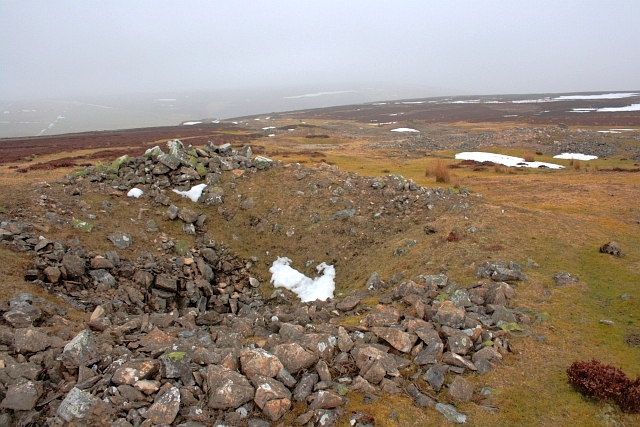
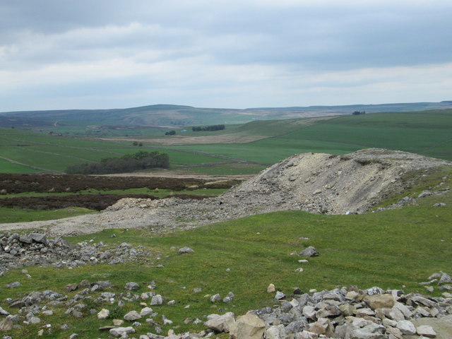
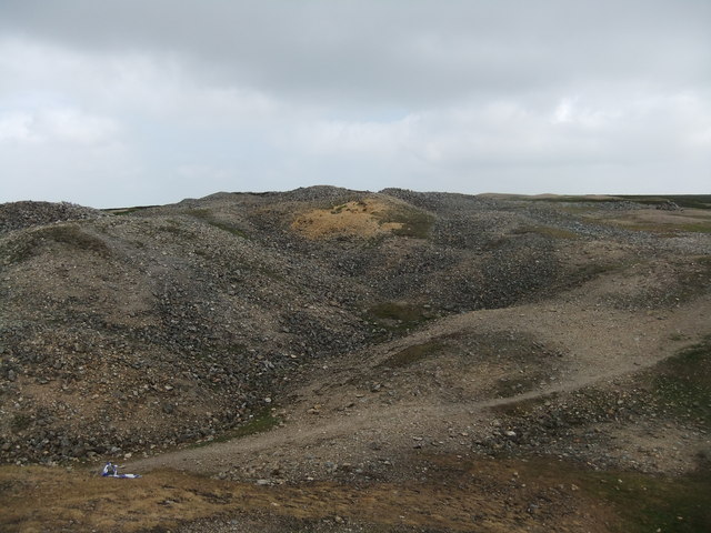
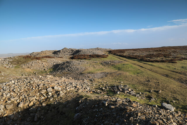
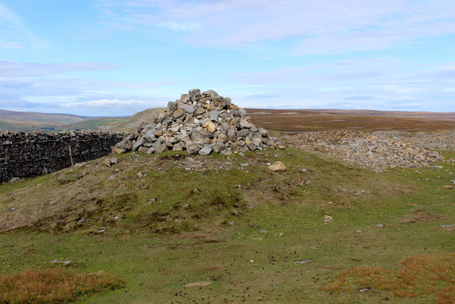
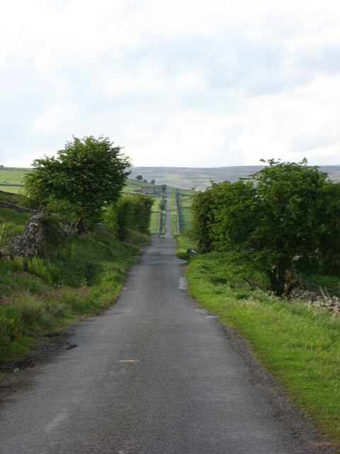
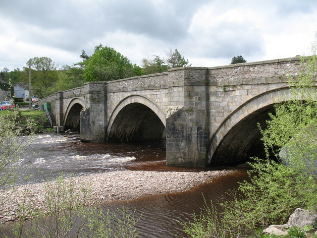
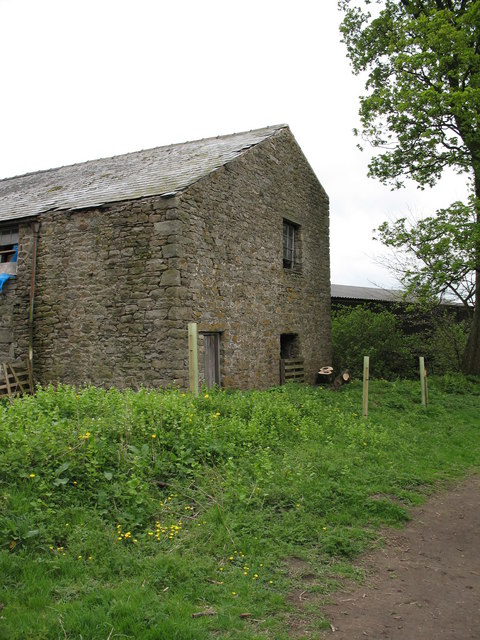
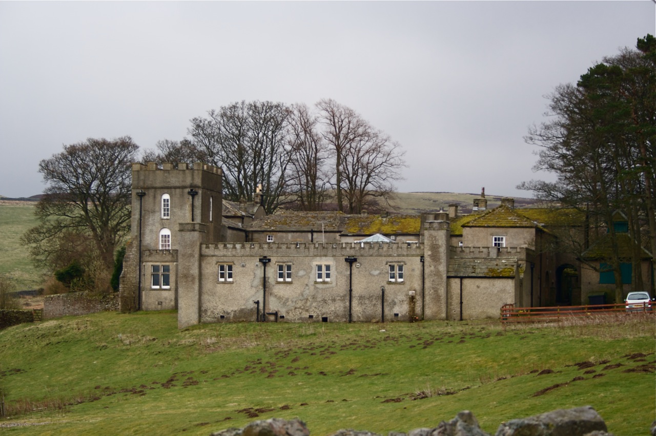
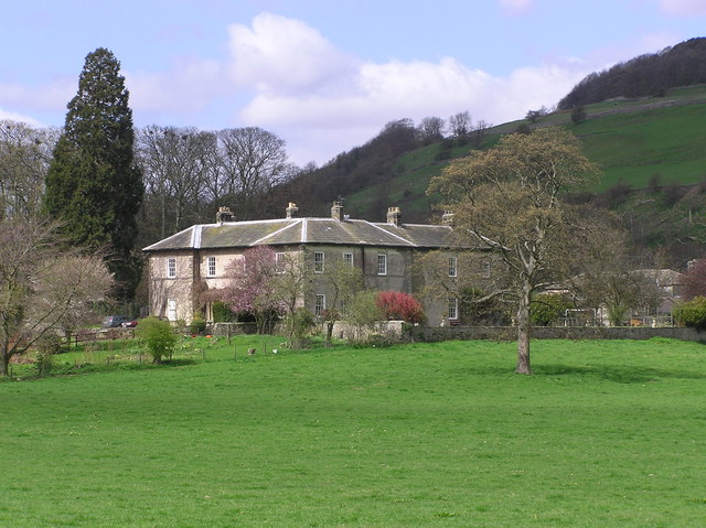
Colt Park Wood Images

Images are sourced within 2km of 54.382589/-1.9081403 or Grid Reference SE0698. Thanks to Geograph Open Source API. All images are credited.

Cairn on Marrick Moor High above Swaledale.
Cairn on Marrick Moor
High above Swaledale.
Disused shafts and spoil tips Resulting from the lead mining activities on Marrick Moor.
Disused shafts and spoil tips
Resulting from the lead mining activities on Marrick Moor.
Marrick Moor Looking NE across Marrick Moor.
Marrick Moor
Looking NE across Marrick Moor.
Spoilheap moonscape, Copperthwaite Allotment
Mining debris on Copperthwaite Allotment Lead mining on Copperthwaite Allotment seems to have been mostly shallow, via Bell pits rather than deep shafts, resulting in a bewildering topography of small waste tips rather than the larger waste tips one sees more often in the dales, built by dumping waste from carts or wagons ono the end of a constantly growing pile. Hydraulic mining was not an option within 5m of the summit of the moor, and there's not much in the way of flowing water to be found, though the track does lead to a tiny reservoir in about 300m so there must be something to feed it.
Mining debris on Copperthwaite Allotment
Lead mining on Copperthwaite Allotment seems to have been mostly shallow, via Bell pits rather than deep shafts, resulting in a bewildering topography of small waste tips rather than the larger waste tips one sees more often in the dales, built by dumping waste from carts or wagons ono the end of a constantly growing pile. Hydraulic mining was not an option within 5m of the summit of the moor, and there's not much in the way of flowing water to be found, though the track does lead to a tiny reservoir in about 300m so there must be something to feed it.
Track through mine tips on the edge of Marrick Moor
Washfold, Stelling Road The pivot benchmark is cut into a stone in the roadside wall on the west side of the road.
Washfold, Stelling Road
The pivot benchmark is cut into a stone in the roadside wall on the west side of the road.
Washfold, Stelling Road There is a pivot benchmark cut into a stone in the roadside wall at the angle on the west side of the road.
Washfold, Stelling Road
There is a pivot benchmark cut into a stone in the roadside wall at the angle on the west side of the road.
Marrick Moor Looking north.
Marrick Moor
Looking north.
Marrick Moor view Looking north towards Owlands Farm.
Marrick Moor view
Looking north towards Owlands Farm.
Workings on Marrick Moor Extensive lead workings just outside the national park boundary.
Workings on Marrick Moor
Extensive lead workings just outside the national park boundary.
Pool with mine tips There's a desolate yet attractive appearance to the landscape just back, (north-east), from Fremington Edge where the distant line of spoil heaps follows the course of a mineral vein. Despite the name Copperthwaite Allotment being nearby on OS maps, it's assumed that the workings were for lead ore.
Pool with mine tips
There's a desolate yet attractive appearance to the landscape just back, (north-east), from Fremington Edge where the distant line of spoil heaps follows the course of a mineral vein. Despite the name Copperthwaite Allotment being nearby on OS maps, it's assumed that the workings were for lead ore.
Cairn on Fremington Edge Top Rises amidst the debris and workings of a long abandoned mining industry
Cairn on Fremington Edge Top
Rises amidst the debris and workings of a long abandoned mining industry
Public Footpath running along Fremington Edge Top
Stelling Road Dead straight road towards Hurst and Washfold.
Stelling Road
Dead straight road towards Hurst and Washfold.
Marrick Moor Looking NE towards Helwith Road.
Marrick Moor
Looking NE towards Helwith Road.
Bridge at Reeth
Bridge at Reeth
River Swale from Grinton Bridge
Show me another place!

Colt Park Wood is located at Grid Ref: SE0698 (Lat: 54.382589, Lng: -1.9081403)

Division: North Riding

Administrative County: North Yorkshire

District: Richmondshire

Police Authority: North Yorkshire

What 3 Words

///skippers.facelift.lilac. Near Leyburn, North Yorkshire

Related Wikis

Marrick Priory

Marrick Priory was a Benedictine nunnery in Richmondshire, North Yorkshire, England, established between 1140 and 1160 by Roger de Aske. The parish Church...

Grinton

Grinton is a small village and civil parish in the Yorkshire Dales, North Yorkshire, England. Close to Reeth and Fremington, it lies 9 miles (15 km) west...

Swaledale Festival

The Swaledale Festival takes place over two weeks in May and June each year, in churches, chapels, castles, ‘Literary Institutes’, pubs, fields and village...

Fremington, North Yorkshire

Fremington is a hamlet in the Yorkshire Dales in North Yorkshire, England. The hamlet is almost joined to Reeth and Grinton. It is split into Low Fremington...

Grinton Lodge

Grinton Lodge is a 19th-century former shooting lodge that has been a youth hostel since 1948. A Grade II listed building, it is situated above the village...

Marrick

Marrick is a village and civil parish in the Richmondshire district of North Yorkshire, England, situated in lower Swaledale in the Yorkshire Dales National...

Arkle Beck

Arkle Beck is the stream running through the valley of Arkengarthdale in the Yorkshire Dales, England. It is a tributary of the River Swale, which it joins...

Ellerton Abbey House

Ellerton Abbey House is an historic building and estate in Ellerton Abbey, North Yorkshire, England. It was built around 1830 for the Fore Erle-Drax family...

Nearby Amenities

Located within 500m of 54.382589,-1.9081403
Barrier: stile
Foot: yes
Lat/Long: 54.3795107/-1.9043735
Barrier: stile
Foot: yes
Lat/Long: 54.3806593/-1.9065596
Barrier: stile
Foot: yes
Lat/Long: 54.3816482/-1.9088825
Barrier: stile
Foot: yes
Lat/Long: 54.3819886/-1.9109657
Barrier: stile
Foot: yes
Lat/Long: 54.3824754/-1.9123386
Barrier: stile
Foot: yes
Lat/Long: 54.3831104/-1.9135898
Barrier: stile
Foot: yes
Lat/Long: 54.3842865/-1.9129247
Power: pole
Lat/Long: 54.3857285/-1.9119939
Power: pole
Lat/Long: 54.3857183/-1.9035309
Power: pole
Lat/Long: 54.3859245/-1.9050866
Power: pole
Lat/Long: 54.3858964/-1.9068971
Power: pole
Lat/Long: 54.3858886/-1.908603
Power: pole
Lat/Long: 54.3858917/-1.9104537
Power: pole
Lat/Long: 54.3855606/-1.9135731
Passing Place
Lat/Long: 54.3844523/-1.9113354
Passing Place
Lat/Long: 54.3844086/-1.9151831
Passing Place
Lat/Long: 54.3850053/-1.9034363
The data included in this document is from www.openstreetmap.org. The data is made available under ODbL.

Have you been to Colt Park Wood?

Leave your review of Colt Park Wood below (or comments, questions and feedback).