Blenheim Copse
Wood, Forest in Gloucestershire Cotswold
England
Blenheim Copse
Blenheim Copse is a picturesque woodland located in Gloucestershire, England. Spanning over a vast area, this copse is known for its stunning natural beauty and diverse range of flora and fauna. The copse is situated near the town of Blenheim, providing a serene escape from the bustling city life.
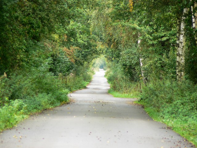
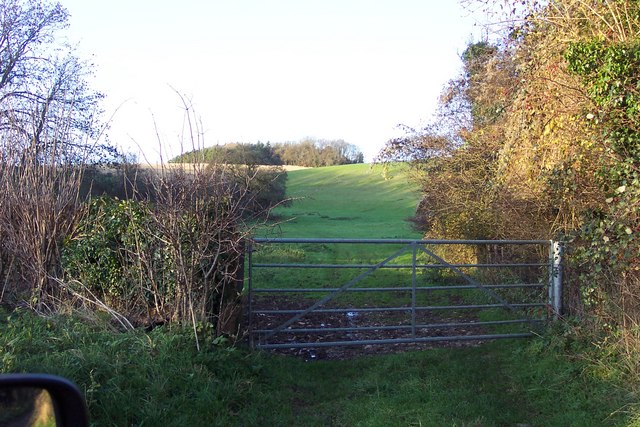
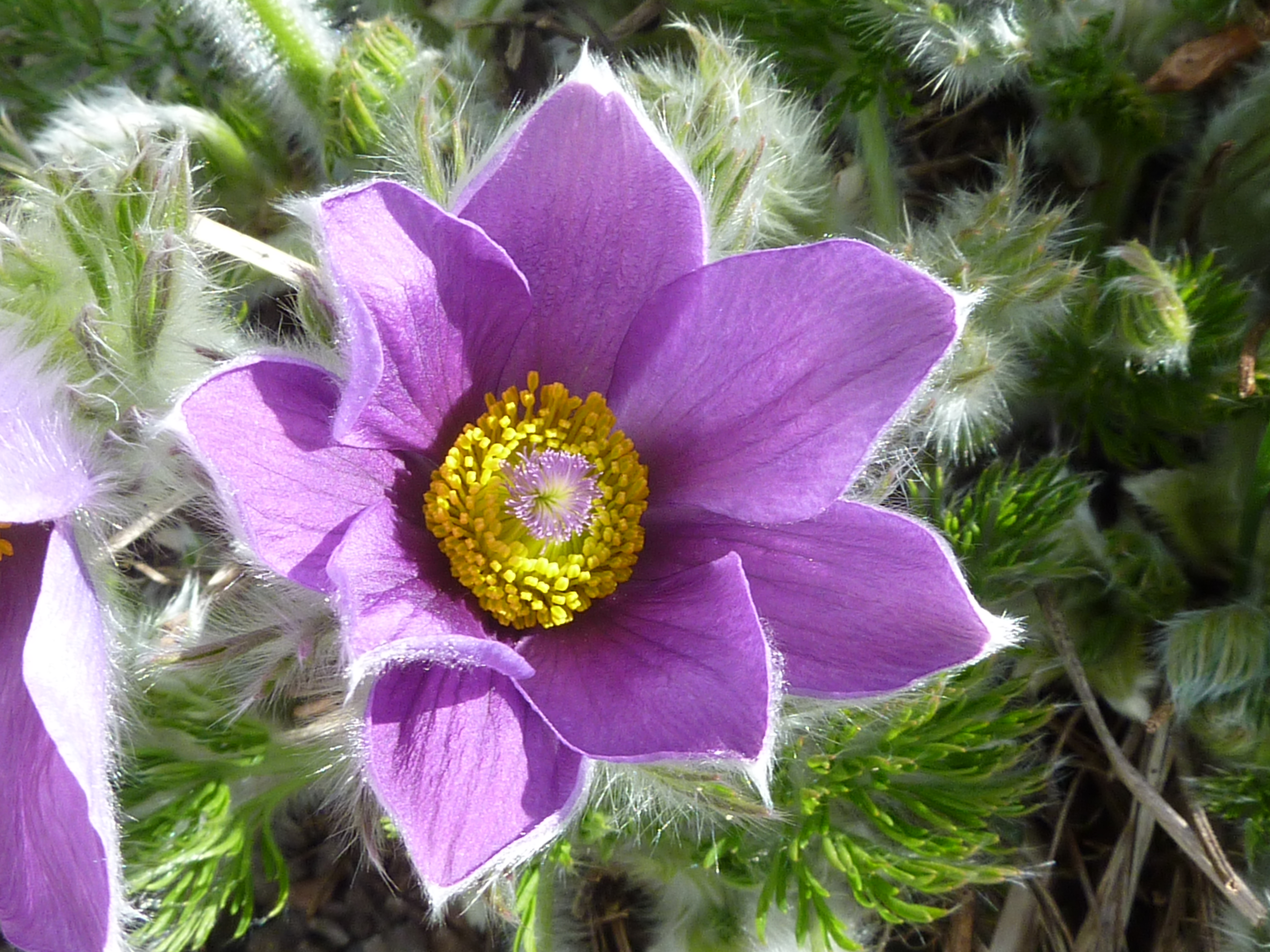
Covered in a dense canopy of trees, Blenheim Copse offers a tranquil environment for nature enthusiasts and wildlife lovers. The woodland is predominantly composed of oak, beech, and birch trees, creating a vibrant mix of colors throughout the seasons. In the spring, the copse comes alive with a carpet of bluebells and other wildflowers, adding a burst of color to the already breathtaking landscape.
Visitors to Blenheim Copse can enjoy a variety of recreational activities, such as hiking, birdwatching, and photography. The well-maintained trails wind through the copse, allowing visitors to explore its hidden gems and discover the rich biodiversity that thrives within its boundaries. The copse is home to numerous bird species, including woodpeckers, owls, and warblers, making it a paradise for birdwatchers.
Blenheim Copse also has historical significance, as it is believed to have served as a hiding place for local resistance fighters during times of conflict. The copse's dense foliage and secluded location made it an ideal refuge for those seeking shelter.
Overall, Blenheim Copse in Gloucestershire offers a serene and picturesque retreat for nature enthusiasts, providing a perfect blend of natural beauty, recreational opportunities, and historical significance.
If you have any feedback on the listing, please let us know in the comments section below.
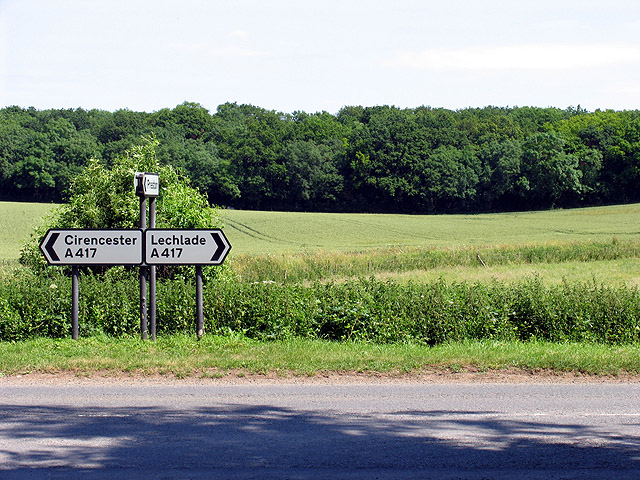
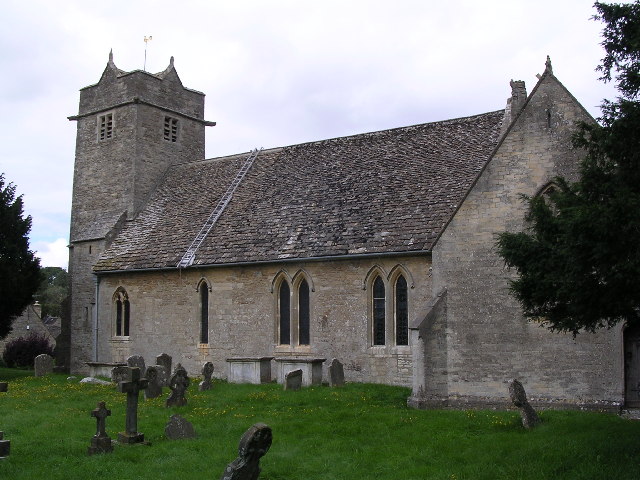
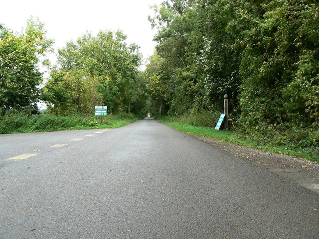
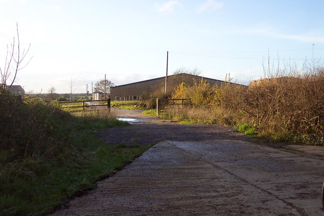
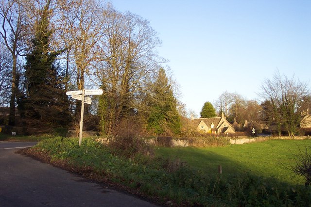
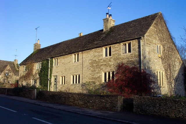
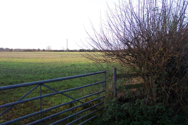
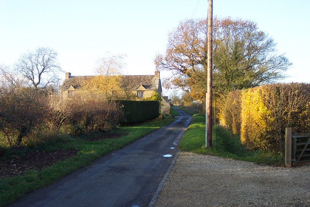
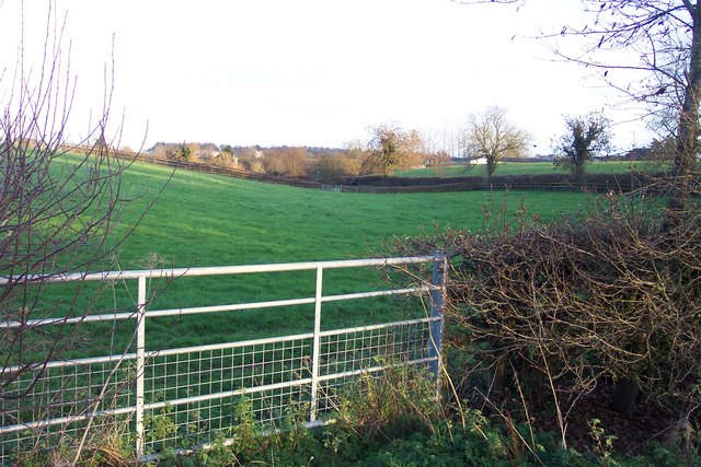
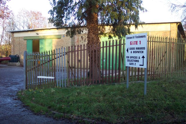
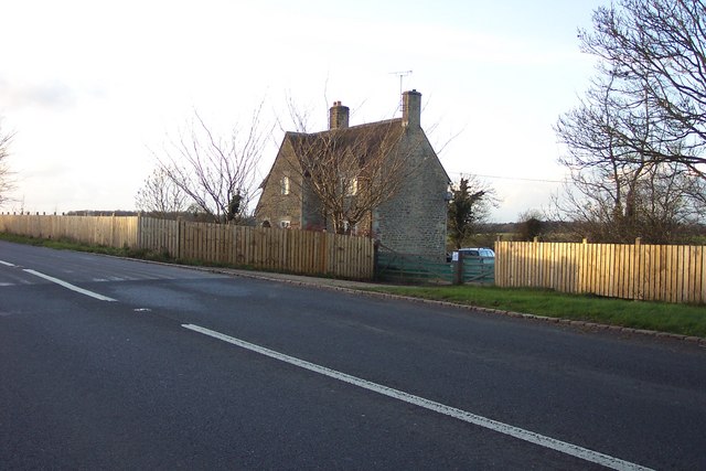
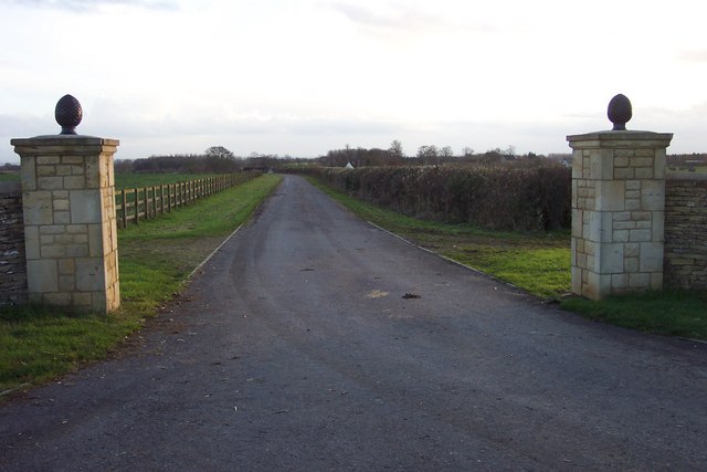
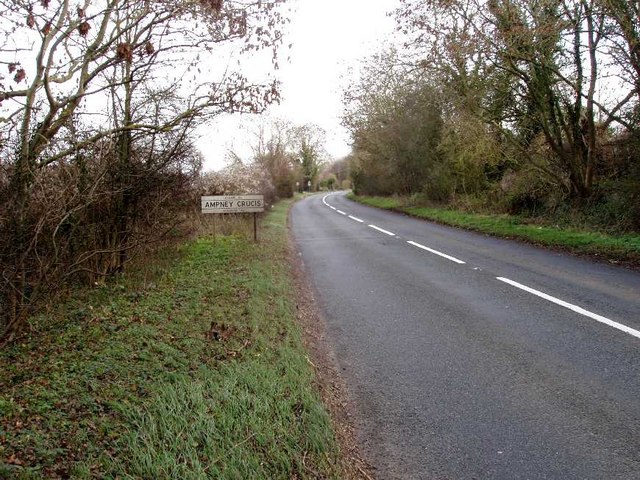
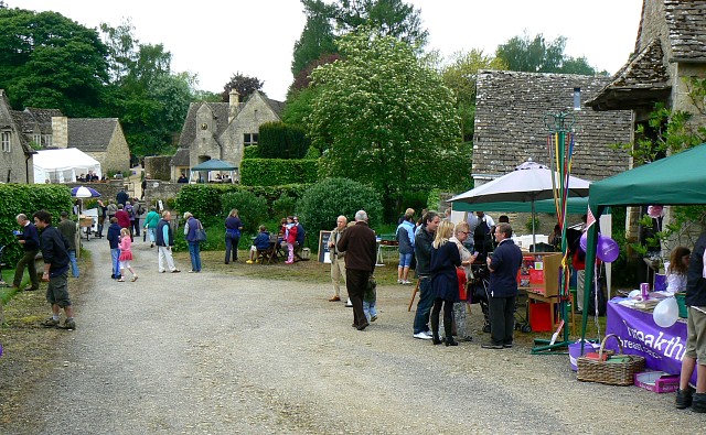
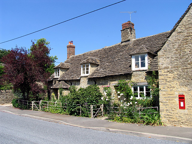
Blenheim Copse Images
Images are sourced within 2km of 51.737925/-1.9140183 or Grid Reference SP0604. Thanks to Geograph Open Source API. All images are credited.


Blenheim Copse is located at Grid Ref: SP0604 (Lat: 51.737925, Lng: -1.9140183)
Administrative County: Gloucestershire
District: Cotswold
Police Authority: Gloucestershire
What 3 Words
///boomer.moats.situates. Near Cirencester, Gloucestershire
Nearby Locations
Related Wikis
Barnsley, Gloucestershire
Barnsley is a village and civil parish in the Cotswold district of Gloucestershire, England, 3.7 miles (6.0 km) northeast of Cirencester. It is 125 kilometres...
Barnsley Warren
Barnsley Warren (grid reference SP055064) is a 61.3-hectare (151-acre) biological Site of Special Scientific Interest in Gloucestershire, notified in 1954...

Ampney Park
Ampney Park is a 16th century manor house at Ampney Crucis, Gloucestershire, England. It is a Grade II listed building. == History == The estate is attached...

Ampney Crucis
Ampney Crucis is a village and civil parish in the Cotswolds, part of the Cotswold District of Gloucestershire, England. The village is in the Ampney-Coln...

Church of the Holy Rood, Ampney Crucis
The Anglican Church of the Holy Rood at Ampney Crucis in the Cotswold District of Gloucestershire, England has Saxon foundations with some of the stonework...

Barnsley Park
Barnsley Park is a country house and park, measuring about 3 miles (4.8 km) in circumference in Barnsley, Gloucestershire, England. == History == An Iron...
Preston, Cotswold
Preston is a village and civil parish in Gloucestershire, England, situated 2.2 km south-east of the town of Cirencester. It is administered by the Cotswold...
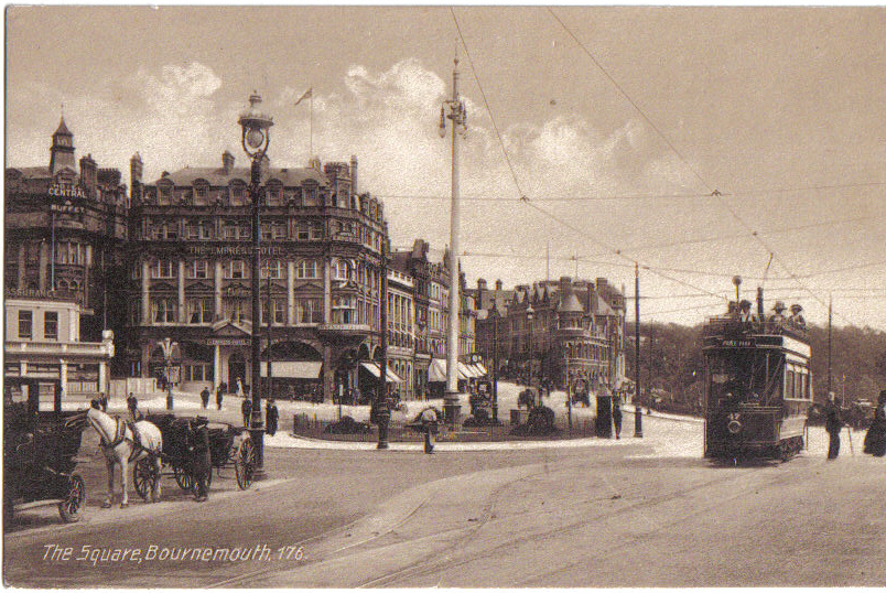
Bournemouth Corporation Tramways
Bournemouth Corporation Tramways served the town of Bournemouth in Dorset (although at the time it was in Hampshire) from 23 July 1902 until 8 April 1936...
Nearby Amenities
Located within 500m of 51.737925,-1.9140183Have you been to Blenheim Copse?
Leave your review of Blenheim Copse below (or comments, questions and feedback).