Four Acres
Wood, Forest in Staffordshire East Staffordshire
England
Four Acres
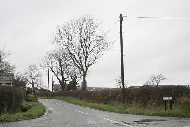
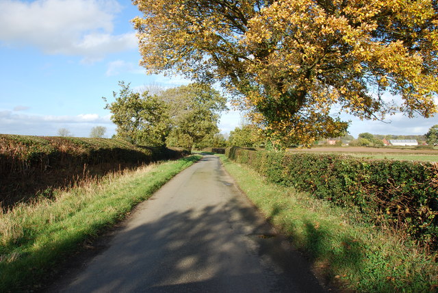
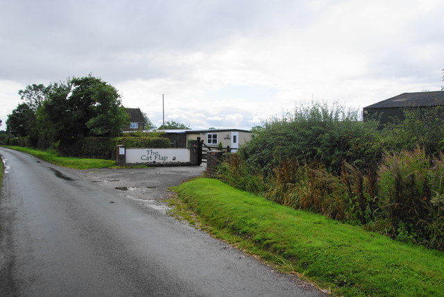
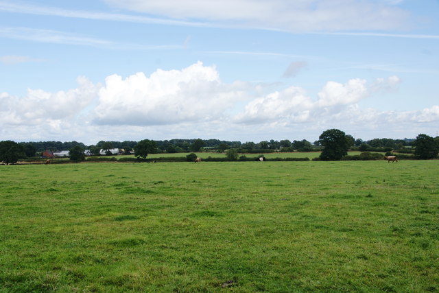
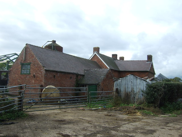
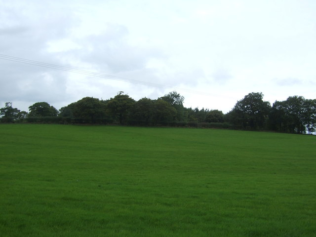
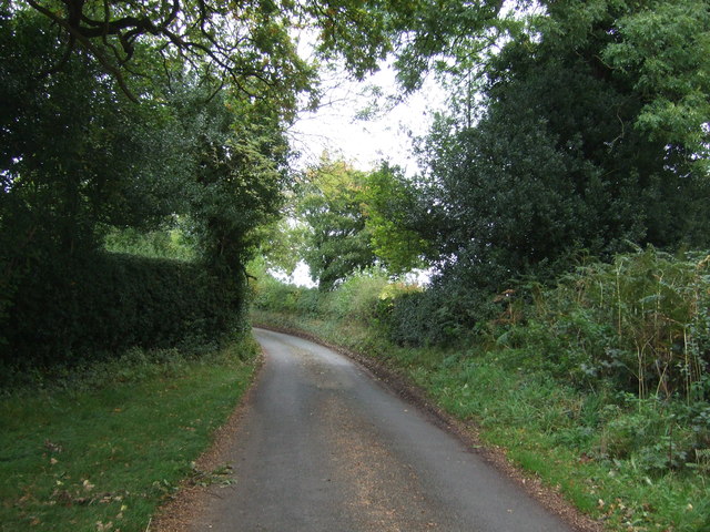
Four Acres is a spacious woodland area located in Staffordshire, England. It is situated in close proximity to the town of Wood and is known for its picturesque forest landscape. Covering an area of approximately four acres, the site is a haven for nature enthusiasts and offers a range of recreational activities.
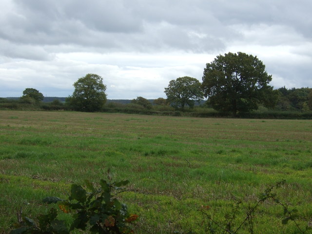
The woodland is characterized by its diverse range of trees, including oak, beech, and birch. These trees create a dense canopy, providing shade and shelter for various wildlife species. Visitors to Four Acres can expect to encounter a wide array of flora and fauna, including squirrels, rabbits, and a variety of bird species.
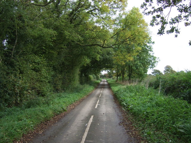
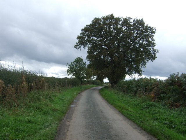
The woodland is crisscrossed by numerous walking trails, which allow visitors to explore the area at their own pace. These trails are well-maintained and offer an opportunity to immerse oneself in the tranquility of nature. The forest also features several picnic spots, making it an ideal location for a family day out or a peaceful retreat.
Four Acres is popular among outdoor enthusiasts who enjoy activities such as birdwatching, photography, and nature walks. It offers a serene escape from the bustling city life and provides an opportunity to reconnect with the natural world. The site is easily accessible, with ample parking available nearby.
Overall, Four Acres in Staffordshire is a beautiful woodland area that offers a peaceful retreat for nature lovers. With its diverse array of flora and fauna, well-maintained trails, and picturesque surroundings, it is a must-visit destination for anyone seeking solace in nature.
If you have any feedback on the listing, please let us know in the comments section below.
Four Acres Images
Images are sourced within 2km of 52.855035/-1.9155616 or Grid Reference SK0528. Thanks to Geograph Open Source API. All images are credited.


Four Acres is located at Grid Ref: SK0528 (Lat: 52.855035, Lng: -1.9155616)
Administrative County: Staffordshire
District: East Staffordshire
Police Authority: Staffordshire
What 3 Words
///shrug.nurture.cakes. Near Abbots Bromley, Staffordshire
Nearby Locations
Related Wikis

Kingstone, Staffordshire
Kingstone is a village and civil parish within the English county of Staffordshire. == Population == The 2011 census recorded a population of 629 in 249...

Grindley railway station
Grindley railway station was a former British railway station to serve the village of Grindley in Staffordshire. It was opened by the Stafford and Uttoxeter...

Bagot's Wood
Bagot's Wood is the largest extant piece of the ancient Needwood Forest, located near to Abbots Bromley, in Staffordshire, England. The forest derives...

Chartley Moss
Chartley Moss is a 105.80 hectare biological Site of Special Scientific Interest in Staffordshire, notified in 1987. The area has been designated as an...
Loxley Hall
Loxley Hall is an early-19th-century country house near Uttoxeter, Staffordshire, now occupied by a Staffordshire County Council special school for boys...

RAF Abbots Bromley
RAF Abbots Bromley is a former Royal Air Force Relief Landing Ground (RLG) located 0.7 miles (1.1 km) north-west of the village of Abbots Bromley, Staffordshire...

Gratwich
Gratwich is a village and former civil parish, now in the parish of Kingstone, in the East Staffordshire district, in the county of Staffordshire, England...

Bromshall railway station
Bromshall railway station was a short lived railway station in Staffordshire, England. The railway line between Stoke-on-Trent and Uttoxeter was opened...
Nearby Amenities
Located within 500m of 52.855035,-1.9155616Have you been to Four Acres?
Leave your review of Four Acres below (or comments, questions and feedback).