Cumeragh Village
Settlement in Lancashire Preston
England
Cumeragh Village
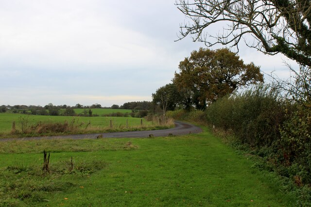
Cumeragh Village is a small village located in the picturesque county of Lancashire, England. Situated just a few miles north of Preston, the village is nestled within the beautiful countryside, offering its residents a peaceful and idyllic setting.
The village is known for its charming and traditional architecture, with many of the houses dating back to the 19th century. The streets are lined with quaint cottages, creating a sense of nostalgia and character.
Despite its small size, Cumeragh Village has a strong sense of community, with a close-knit population that takes pride in their village. The residents often organize various events and activities throughout the year, fostering a friendly and welcoming atmosphere.
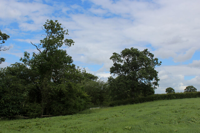
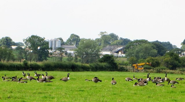
One of the notable features of Cumeragh Village is its proximity to the scenic Cumeragh River, which winds its way through the surrounding countryside. This provides residents with ample opportunities for outdoor activities such as fishing, picnicking, and nature walks.
The village is also conveniently located near the larger town of Preston, which offers a range of amenities including shops, schools, and leisure facilities. This allows residents to enjoy the tranquility of village life while still having easy access to urban conveniences.
In conclusion, Cumeragh Village is a charming and close-knit community, offering residents a peaceful and picturesque setting within the stunning Lancashire countryside. With its traditional architecture, strong sense of community, and proximity to nature, it is an ideal place for those seeking a quieter way of life.
If you have any feedback on the listing, please let us know in the comments section below.
Cumeragh Village Images
Images are sourced within 2km of 53.822626/-2.653943 or Grid Reference SD5736. Thanks to Geograph Open Source API. All images are credited.


Cumeragh Village is located at Grid Ref: SD5736 (Lat: 53.822626, Lng: -2.653943)
Administrative County: Lancashire
District: Preston
Police Authority: Lancashire
What 3 Words
///baseless.pinging.timed. Near Goosnargh, Lancashire
Nearby Locations
Related Wikis

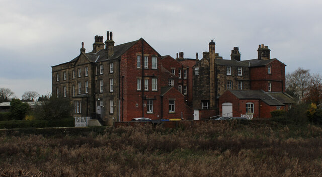
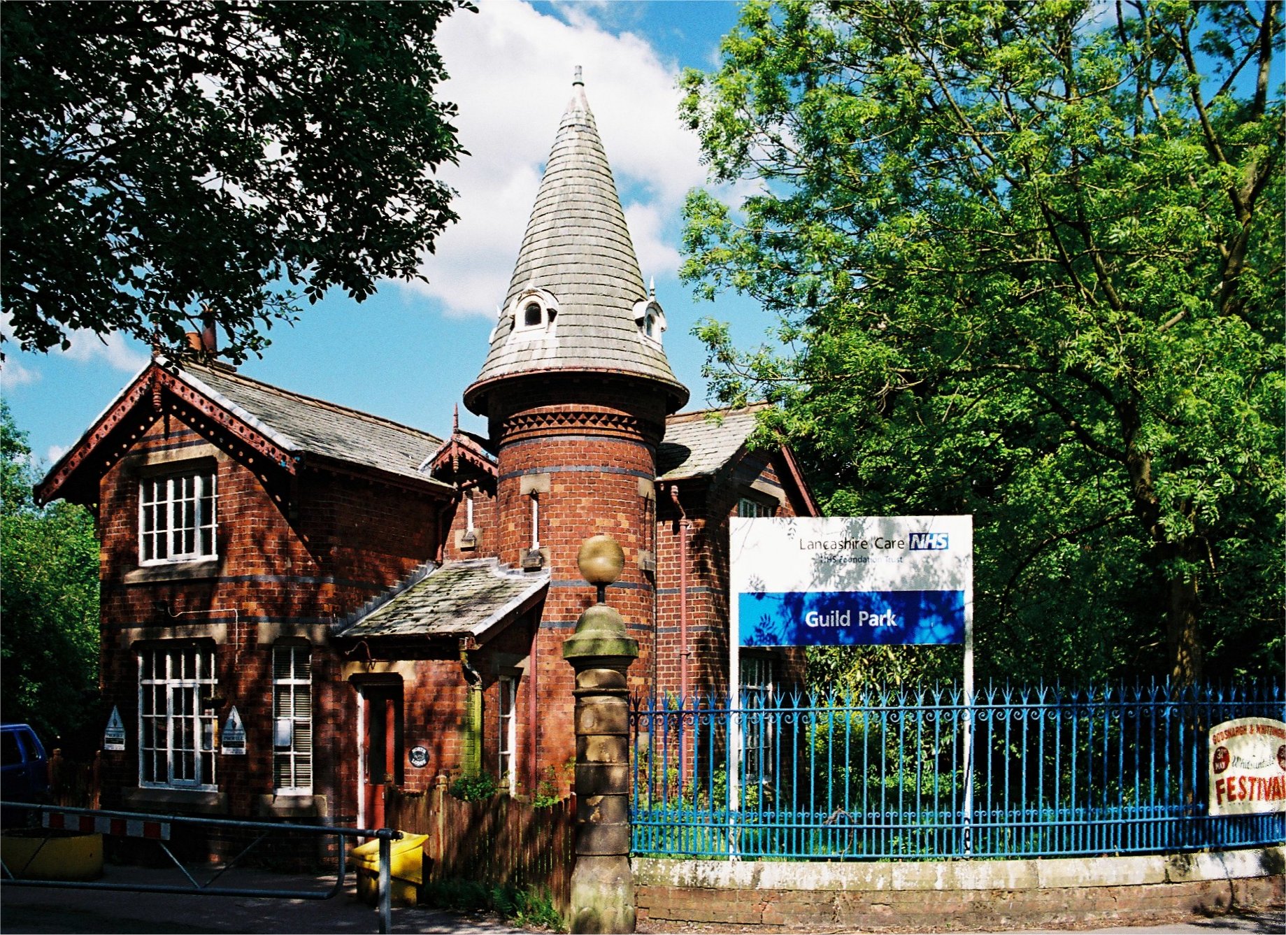
Whittingham Hospital
Whittingham Hospital was a psychiatric hospital in the parish of Whittingham, near Preston, Lancashire, England. The hospital opened in 1873 as the Fourth...
Whittingham, Lancashire
Whittingham is a civil parish in the City of Preston, Lancashire, England. The parish measures 4 miles (6 km) east-to-west, from the outskirts of Longridge...
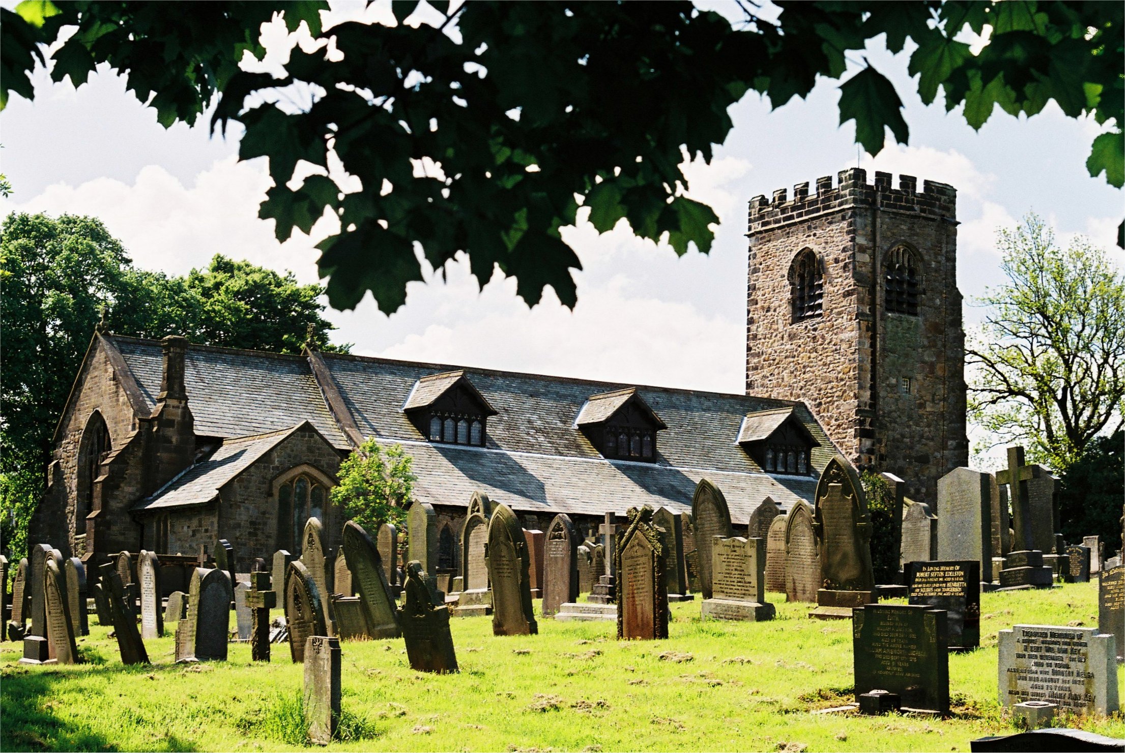
St Mary's Church, Goosnargh
The Church of St Mary the Virgin is an Anglican church in Goosnargh, a village north of Preston in Lancashire, England. The church dates from the Middle...
Goosnargh
Goosnargh ( GOOZ-nər) is a village and civil parish in the City of Preston district of Lancashire, England. The village lies between Broughton and Longridge...

Whittingham Hospital Railway
The Whittingham Hospital Railway (W.H.R.) was a private light railway operated by Lancashire County Council to serve Whittingham lunatic asylum. Opened...
Chingle Hall
Chingle Hall is a grade II listed manor house in the township of Whittingham near Preston, England. == History == Originally, the land where Chingle Hall...

Haighton
Haighton is a civil parish in the City of Preston, Lancashire, England. It is a rural area north east of the urban city of Preston, beyond Fulwood and...
Grimsargh
Grimsargh is a village and civil parish in the City of Preston, Lancashire, England. located 6 miles (10 km) east of Preston. == History == The name Grimsargh...
Nearby Amenities
Located within 500m of 53.822626,-2.653943Have you been to Cumeragh Village?
Leave your review of Cumeragh Village below (or comments, questions and feedback).