Ashcroft Coppice

Wood, Forest in Staffordshire East Staffordshire

England

Ashcroft Coppice

Crossroads and Trailer Crossroads at Loxley Green. The trailer is not technically being driven on the wrong side of the road but had just turned at the crossroads and needed the space to turn.
Crossroads and Trailer Credit: Michael Patterson

Ashcroft Coppice is a picturesque woodland located in Staffordshire, England. Covering an area of approximately 100 acres, it is a popular destination for nature lovers, hikers, and wildlife enthusiasts. The coppice is nestled within the Cannock Chase Area of Outstanding Natural Beauty, adding to its charm and allure.

The woodland is predominantly made up of oak and birch trees, which create a dense canopy and provide a habitat for a diverse range of flora and fauna. Bluebells carpet the forest floor during spring, creating a breathtaking sight for visitors. The area is also home to various species of birds, including woodpeckers and owls, making it a haven for birdwatchers.

Several well-marked trails wind through Ashcroft Coppice, allowing visitors to explore its beauty at their own pace. These trails offer opportunities to observe wildlife, discover ancient trees, and enjoy peaceful walks. The woods are also equipped with picnic areas and benches, providing visitors with a chance to relax and soak in the tranquil surroundings.

Ashcroft Coppice has a rich historical significance as well. It is believed to have been used for charcoal production during the medieval period and later as a source of timber for the local coal mines. Today, remnants of charcoal platforms and old mine workings can still be seen, adding a touch of nostalgia to the woodland.

Overall, Ashcroft Coppice in Staffordshire is a hidden gem that offers a delightful escape into nature. With its diverse wildlife, ancient trees, and well-maintained trails, it is a perfect destination for those seeking solace in the midst of natural beauty.

If you have any feedback on the listing, please let us know in the comments section below.

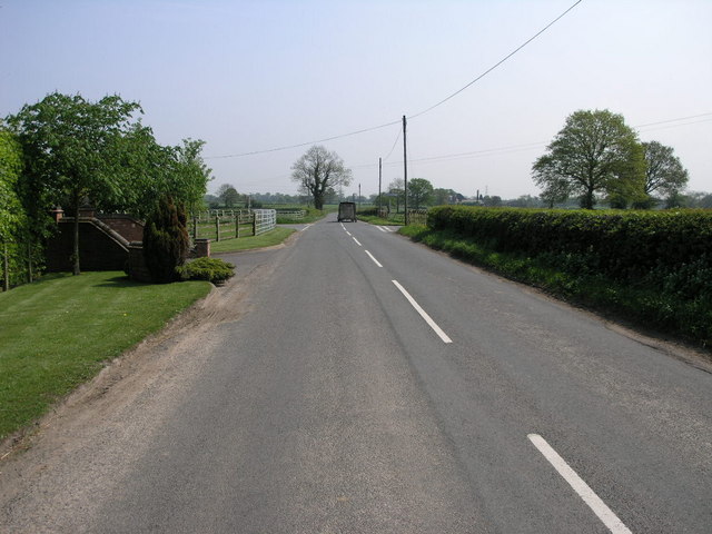
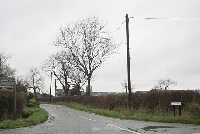
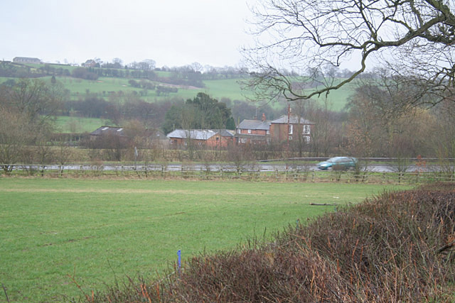
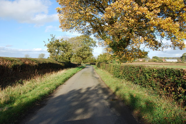
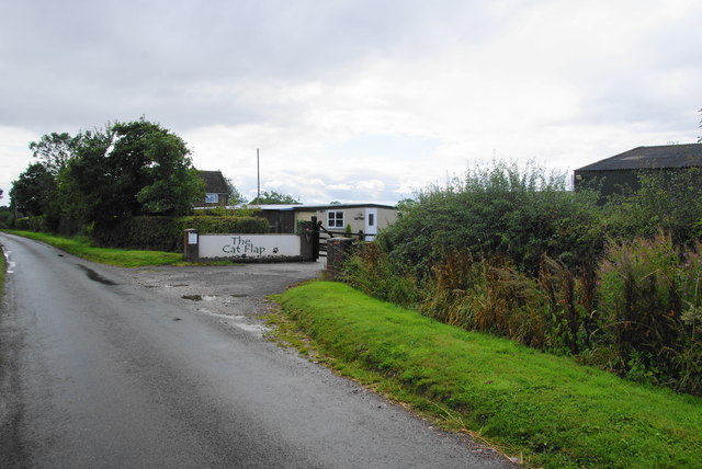
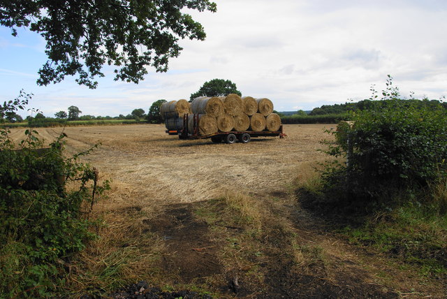
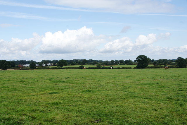
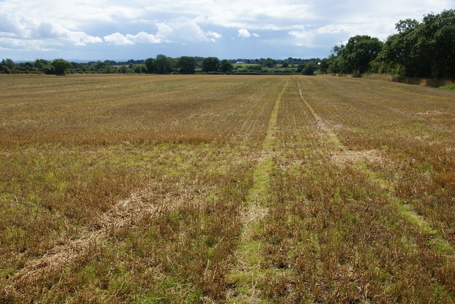
Ashcroft Coppice Images

Images are sourced within 2km of 52.860196/-1.9159526 or Grid Reference SK0529. Thanks to Geograph Open Source API. All images are credited.

Crossroads and Trailer Crossroads at Loxley Green. The trailer is not technically being driven on the wrong side of the road but had just turned at the crossroads and needed the space to turn.
Crossroads and Trailer
Crossroads at Loxley Green. The trailer is not technically being driven on the wrong side of the road but had just turned at the crossroads and needed the space to turn.
Leese Hill The OS map accords the name to the location not just the road
Leese Hill
The OS map accords the name to the location not just the road
In the Blithe Valley. The A518 is the main road from Uttoxeter to Stafford
In the Blithe Valley.
The A518 is the main road from Uttoxeter to Stafford
Crossroads at Loxley Green
Lane heading towards the A518 Leese Hill farm ca be seen to the right of picture.
Lane heading towards the A518
Leese Hill farm ca be seen to the right of picture.
A Country Road Junction at Leese Hill
The Cat Flap A cattery on Leese Hill.
The Cat Flap
A cattery on Leese Hill.
Bales ready for transit on Leese Hill
A field of cows near Woodcock Heath An opportunity for a view east from Leese Hill.
A field of cows near Woodcock Heath
An opportunity for a view east from Leese Hill.
Manor Farm A farm nearly on the edge of Leese Hill. The road leads only to a golf club.
Manor Farm
A farm nearly on the edge of Leese Hill. The road leads only to a golf club.
Manor Golf Course Situated on Leese Hill above the valley of the River Blithe.
Manor Golf Course
Situated on Leese Hill above the valley of the River Blithe.
The entrance to Manor Golf Club
Field of maize by Park Covert A footpath passes in the foreground.
Field of maize by Park Covert
A footpath passes in the foreground.
Harvested field on Leese Hill
Fieldside path You can't see the path but know it runs by the edge of the field.
Fieldside path
You can't see the path but know it runs by the edge of the field.
A path through the hedge? The path just about gets through, but you have to contend with holly and thistles in the process.
A path through the hedge?
The path just about gets through, but you have to contend with holly and thistles in the process.
Field boundary above Loxley Green
A path through the hedge? The route is to the right of the water trough, but you have to battle with brambles, nettles, thistles and hawthorn to get through. In retrospect I should have gone a little further south and gone through the gate.
A path through the hedge?
The route is to the right of the water trough, but you have to battle with brambles, nettles, thistles and hawthorn to get through. In retrospect I should have gone a little further south and gone through the gate.
Show me another place!

Ashcroft Coppice is located at Grid Ref: SK0529 (Lat: 52.860196, Lng: -1.9159526)

Administrative County: Staffordshire

District: East Staffordshire

Police Authority: Staffordshire

What 3 Words

///mouths.golf.exhaled. Near Abbots Bromley, Staffordshire

Related Wikis

Nearby Amenities

Located within 500m of 52.860196,-1.9159526
Bus Stop
Village Hall
Bus: yes
Naptan AtcoCode: 3800C327301
Naptan Bearing: E
Naptan BusStopType: CUS
Naptan CommonName: Village Hall
Naptan Indicator: adj
Naptan Street: Church Lane
Naptan Verified: no
Network: 841
Operator: D&G
Public Transport: platform
Source: naptan_import
Lat/Long: 52.8633374/-1.9122424
Bus Stop
Village Hall
Bus: yes
Naptan AtcoCode: 3800C327302
Naptan Bearing: W
Naptan BusStopType: CUS
Naptan CommonName: Village Hall
Naptan Indicator: opp
Naptan Street: Church Lane
Naptan Verified: no
Network: 841
Operator: D&G
Public Transport: platform
Source: naptan_import
Lat/Long: 52.8633846/-1.9121908
Waste Basket
Lat/Long: 52.8631914/-1.9113369
Historic: memorial
Inscription: Site of Spring at which villagers obtained their water supply until1936.
Memorial: plaque
Lat/Long: 52.8630701/-1.9109947
Kingstone AD MM
Historic: memorial
Memorial: stone
Lat/Long: 52.8631915/-1.9108417
Bench
Backrest: yes
Lat/Long: 52.8631712/-1.9108553
Bench
Backrest: yes
Lat/Long: 52.8633564/-1.9124576
Waste Basket
Lat/Long: 52.8633586/-1.9124216
Grit Bin
Lat/Long: 52.8632819/-1.9126649
Bench
Lat/Long: 52.8631073/-1.9116368
Bench
Lat/Long: 52.8629919/-1.9121198
Bench
Lat/Long: 52.8630333/-1.9126124
Bench
Lat/Long: 52.8630763/-1.9123173
Bench
Lat/Long: 52.8627885/-1.9110936
Bench
Lat/Long: 52.862806/-1.9113962
Entrance: yes
Lat/Long: 52.8632506/-1.9124861
Defibrillator
Access: yes
Defibrillator Location: outside Kingstone with Gratwich Village Hall
Emergency: defibrillator
Indoor: no
Lat/Long: 52.8632142/-1.9125134
The data included in this document is from www.openstreetmap.org. The data is made available under ODbL.

Have you been to Ashcroft Coppice?

Leave your review of Ashcroft Coppice below (or comments, questions and feedback).