Alfred's Coppice
Wood, Forest in Staffordshire Lichfield
England
Alfred's Coppice
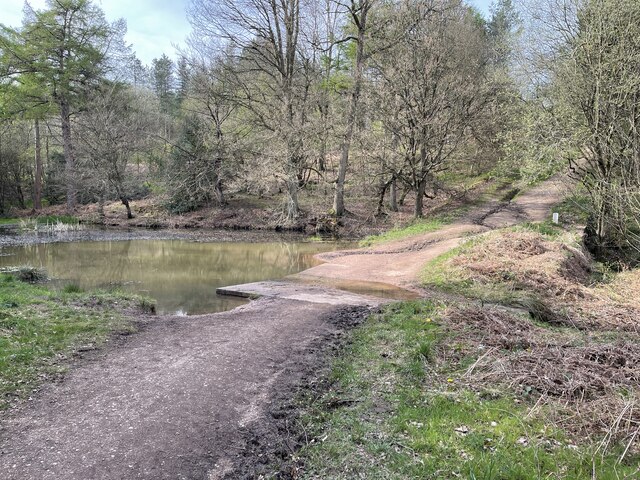
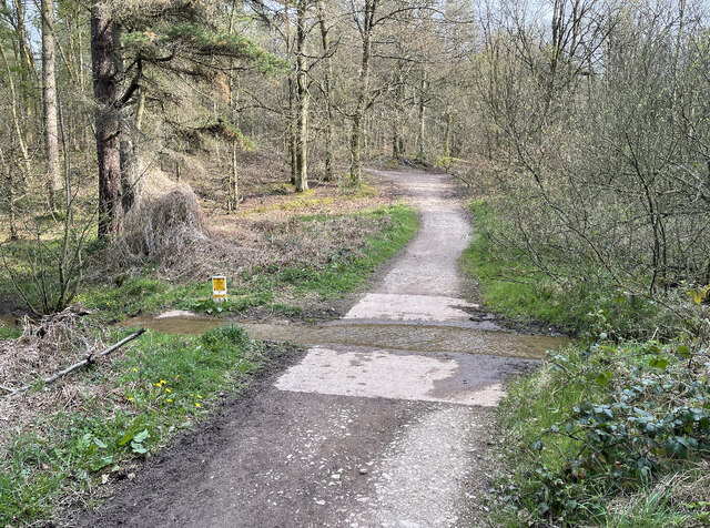
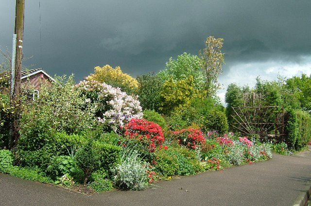
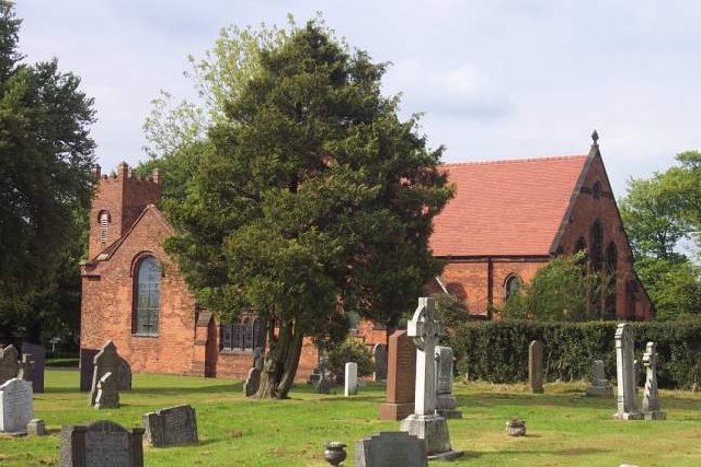
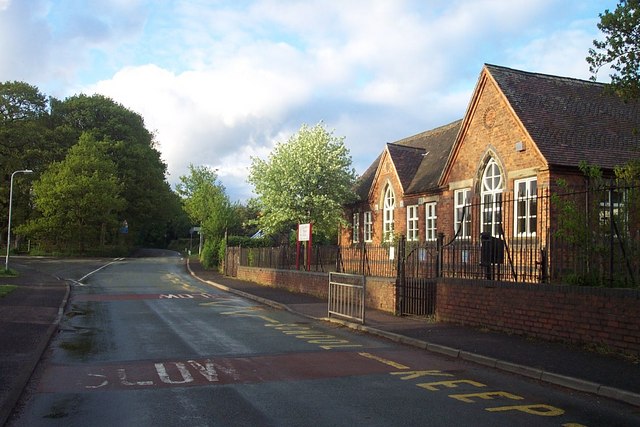
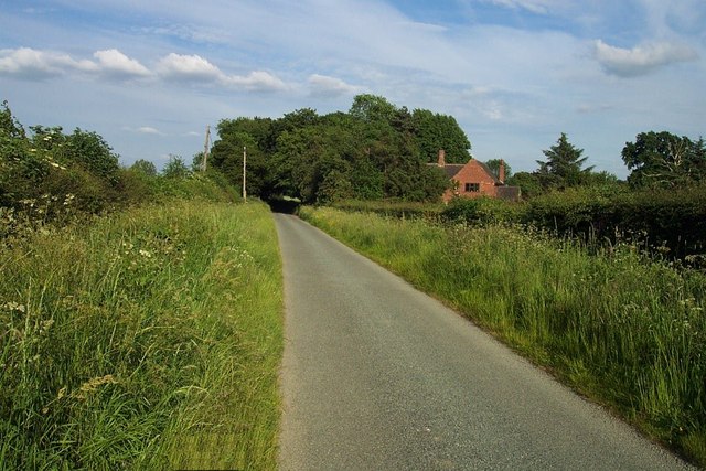
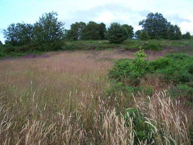
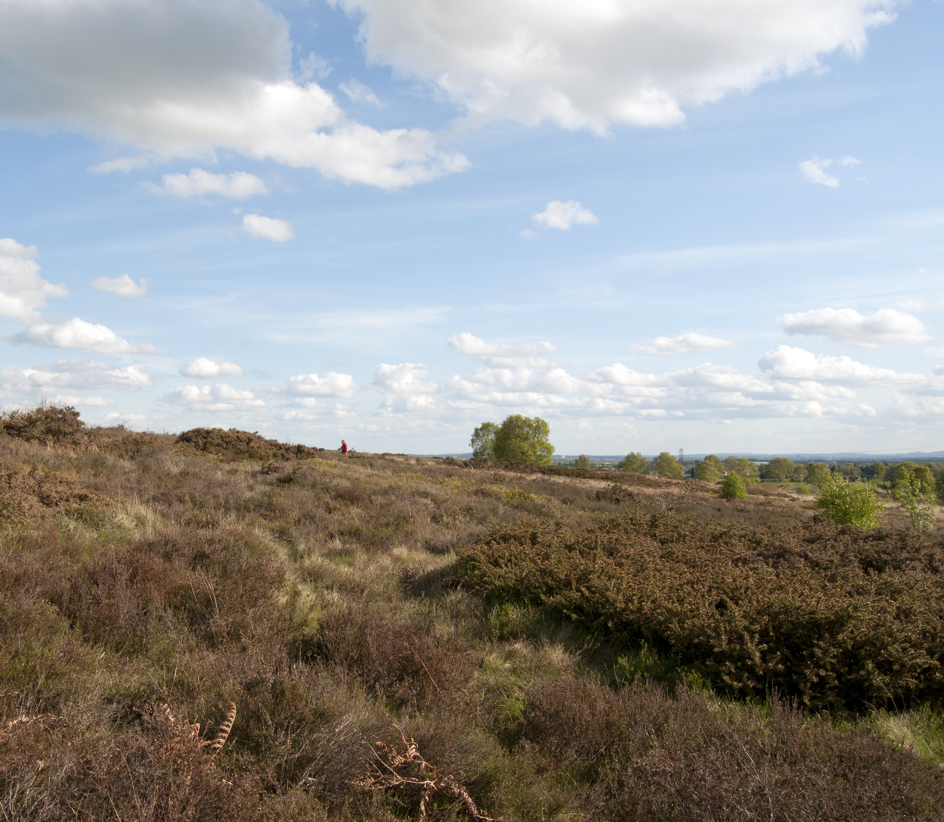
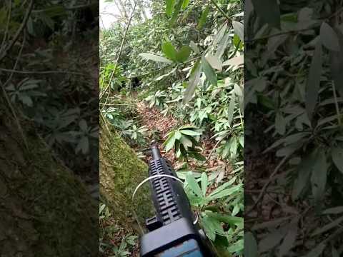
Alfred's Coppice is a picturesque woodland located in Staffordshire, England. Spanning over an area of approximately 50 acres, this enchanting forest is known for its abundant natural beauty and diverse flora and fauna. It is a popular destination for nature lovers, hikers, and wildlife enthusiasts.
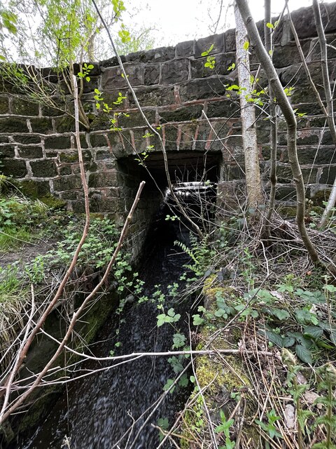
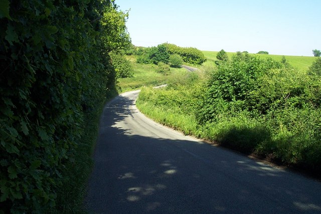
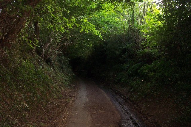
The woodland comprises a mixture of mature trees, including oak, beech, and birch, which create a dense and vibrant canopy overhead. The forest floor is adorned with a variety of wildflowers, ferns, and moss, adding to its ethereal charm. The tranquil atmosphere and peaceful surroundings make Alfred's Coppice an ideal retreat for those seeking solace in nature.
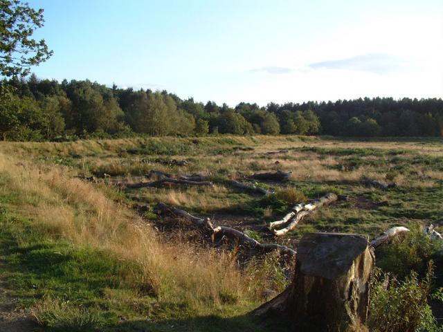
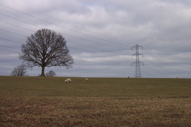
The woodland is home to a wide range of wildlife species. Birdwatchers can spot various species of birds, including woodpeckers, thrushes, and owls, while keen-eyed observers may catch a glimpse of squirrels, rabbits, and even deer. The abundance of natural resources in the forest supports a thriving ecosystem, providing a habitat for numerous creatures.
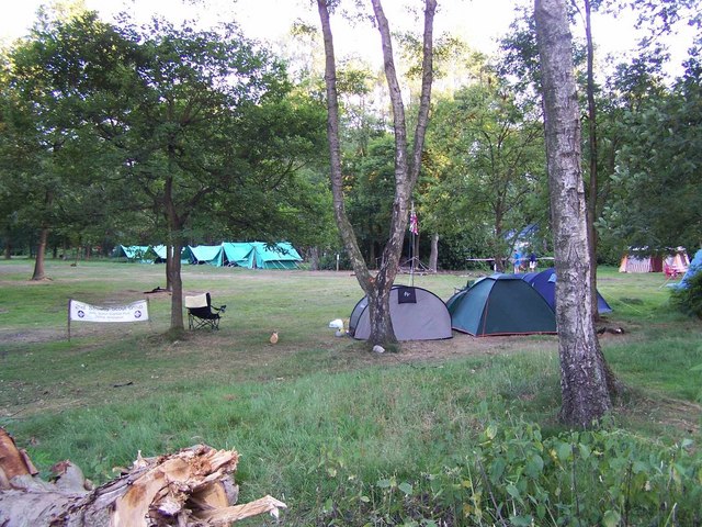
Alfred's Coppice offers a network of well-maintained trails and pathways, allowing visitors to explore the forest at their own pace. The paths wind through the woodland, offering breathtaking views of sun-dappled glades and secluded clearings. There are also designated picnic areas and benches scattered throughout the forest, providing perfect spots for relaxation and enjoying a packed lunch amidst nature's beauty.
Overall, Alfred's Coppice is a captivating woodland that showcases the natural splendor of Staffordshire. Its serene ambiance, diverse flora and fauna, and well-preserved trails make it a must-visit destination for anyone seeking a connection with nature in this stunning part of England.
If you have any feedback on the listing, please let us know in the comments section below.
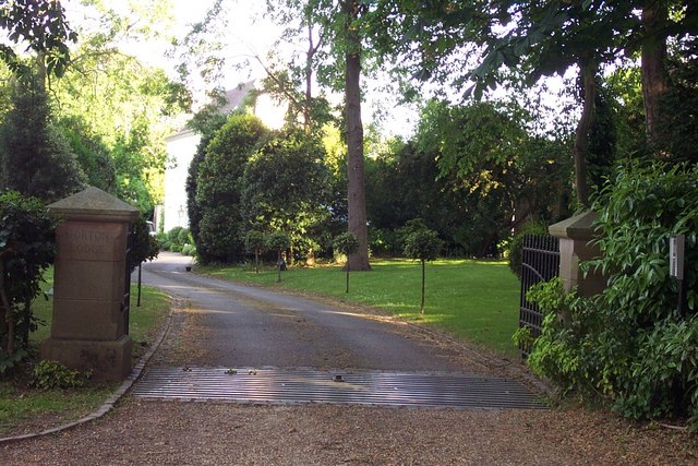
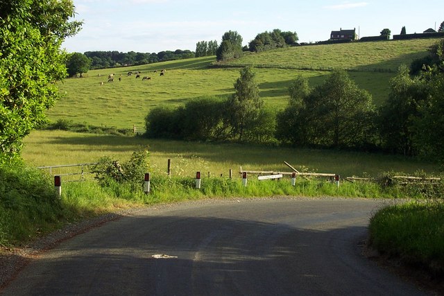
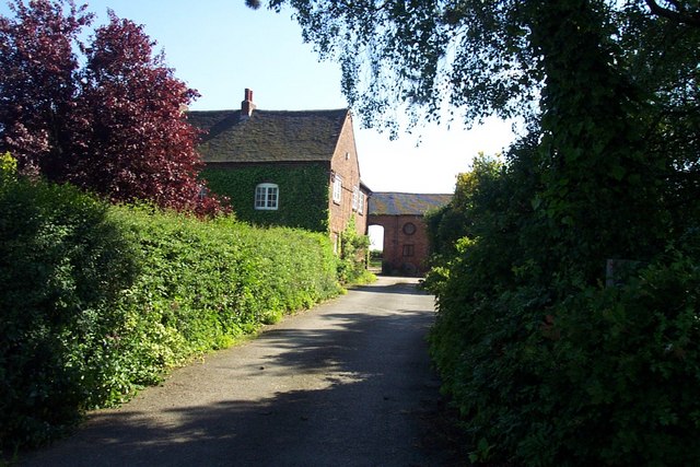
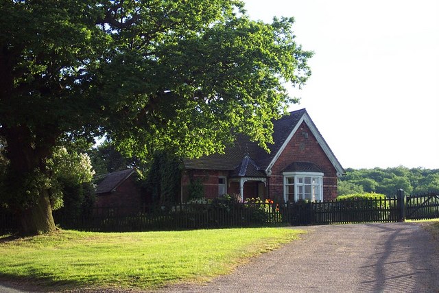
Alfred's Coppice Images
Images are sourced within 2km of 52.713137/-1.917034 or Grid Reference SK0512. Thanks to Geograph Open Source API. All images are credited.
Alfred's Coppice is located at Grid Ref: SK0512 (Lat: 52.713137, Lng: -1.917034)
Administrative County: Staffordshire
District: Lichfield
Police Authority: Staffordshire
What 3 Words
///taskbar.sweep.samplers. Near Burntwood, Staffordshire
Nearby Locations
Related Wikis

Beaudesert, Cannock Chase
Beaudesert was an estate and stately home on the southern edge of Cannock Chase in Staffordshire. It was one of the family seats of the Paget family, the...

Gentleshaw
Gentleshaw is a village in the Lichfield District of Staffordshire, England. It is 6 miles (9.7 km) from Lichfield, 6 miles (9.7 km) from Rugeley, and...

George's Hayes
George's Hayes is a nature reserve of the Staffordshire Wildlife Trust. It is an ancient woodland, about a mile south-west of the village of Longdon, between...

Castle Ring
Castle Ring is an Iron Age hill fort, situated high up on the southern edge of Cannock Chase (The Chase), Staffordshire, England. It is the highest point...
Cannock Wood
Cannock Wood is a village and civil parish in the Cannock Chase district of Staffordshire, England. The village is situated around 4 miles (6.4 km) east...
Gentleshaw Common
Gentleshaw Common is an area of common land situated in Gentleshaw on the northern side of Burntwood in Staffordshire, England. The area is a Site of Special...

Upper Longdon
Upper Longdon is a village within the civil parish of Longdon and is in the District of Lichfield of the English county of Staffordshire. == Location... ==
Nun's Well (Cannock Wood)
Nun's Well is a spring just inside the village of Cannock Wood in Staffordshire, England, at the base of the Mercia Mudstone Group. There is no evidence...
Related Videos
Chase Water, Staffordshire
It is snowing again - it is too cold out there #explore #england #hiking #travel #nature #snow #nature #naturephotograhy ...

Casablanca, Morocco
Our one night two I. Casablanca, Morocco simply fall in love with beautiful seaside resort.
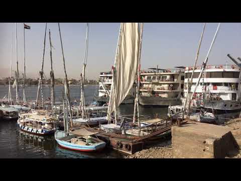
Luxor Temple, Luxor, Egypt
Luxor Temple, Luxor, Egypt - our 1st destination on the River Nile Cruise.
Nearby Amenities
Located within 500m of 52.713137,-1.917034Have you been to Alfred's Coppice?
Leave your review of Alfred's Coppice below (or comments, questions and feedback).