Coldrington Plantation
Wood, Forest in Gloucestershire Cotswold
England
Coldrington Plantation
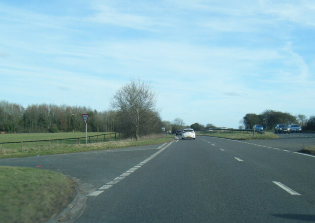
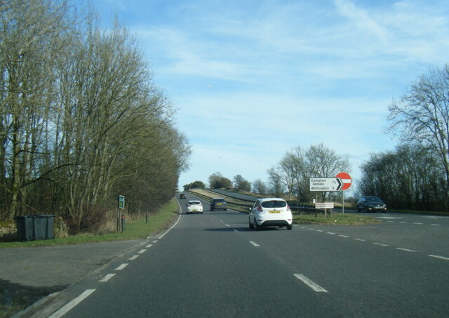
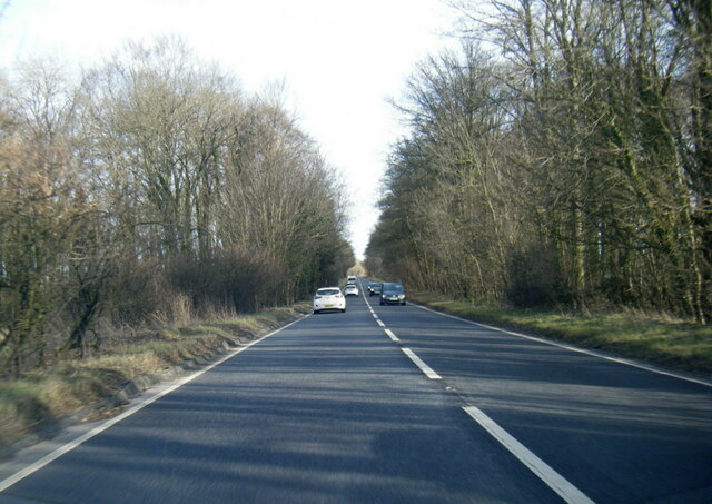
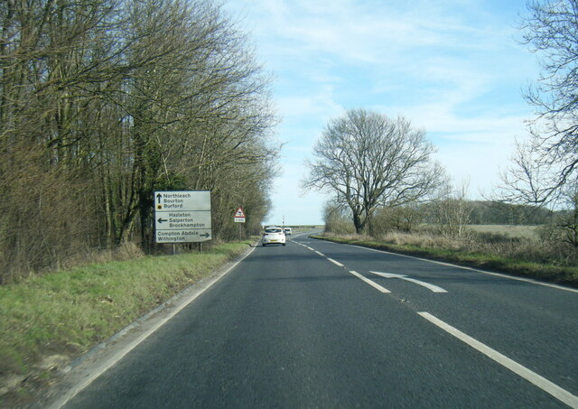
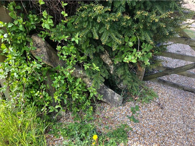
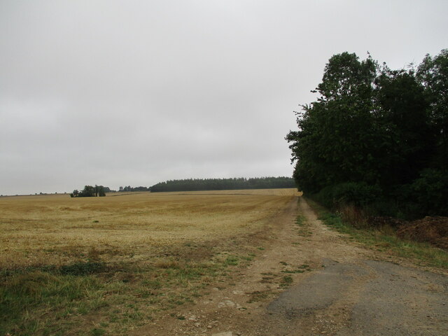
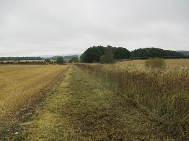
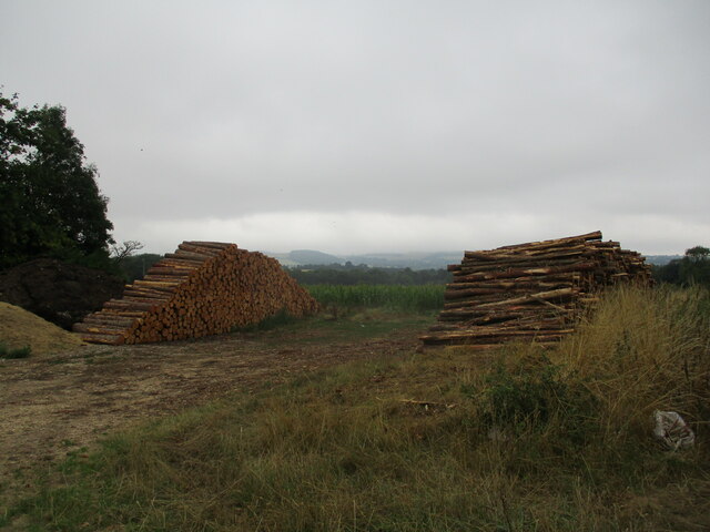
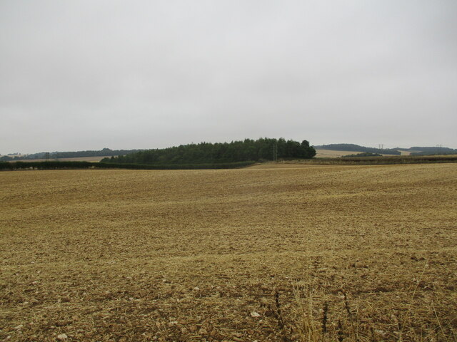
Coldrington Plantation is a picturesque woodland area located in Gloucestershire, England. Spread across a vast area of approximately 200 acres, it is situated within the larger Forest of Dean, known for its natural beauty and rich history. The plantation is abundant with a variety of trees, including oak, beech, and pine, creating a diverse and vibrant ecosystem.
One of the standout features of Coldrington Plantation is its well-maintained network of walking trails, which offer visitors the opportunity to explore the enchanting woodland. These trails wind through the plantation, providing stunning views of the surrounding countryside and allowing visitors to immerse themselves in the tranquility of nature. The paths are well-marked and suitable for all levels of fitness, making it accessible to a wide range of visitors.
The plantation also boasts a rich history. It was originally established in the early 19th century as a commercial timber plantation, supplying wood for various industries. Today, remnants of this history can still be seen in the form of old saw pits and logging tracks scattered throughout the woodland.
Coldrington Plantation is not only a haven for nature enthusiasts but also a habitat for a diverse range of wildlife. Visitors may catch glimpses of various bird species, including woodpeckers and owls, as well as small mammals such as foxes and deer.
Overall, Coldrington Plantation in Gloucestershire is a captivating destination for those seeking to escape the bustle of everyday life and reconnect with nature. Its stunning woodland, walking trails, and rich history make it a must-visit location for both locals and tourists alike.
If you have any feedback on the listing, please let us know in the comments section below.
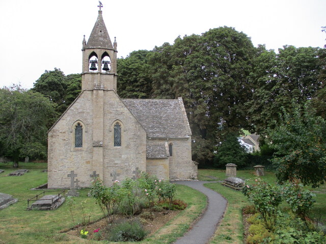
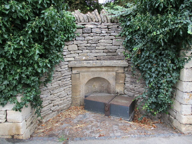
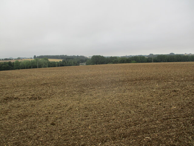
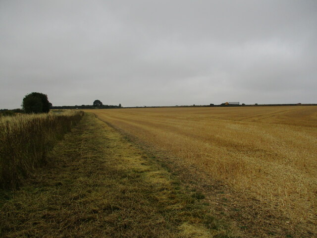
Coldrington Plantation Images
Images are sourced within 2km of 51.859857/-1.9217877 or Grid Reference SP0517. Thanks to Geograph Open Source API. All images are credited.
Coldrington Plantation is located at Grid Ref: SP0517 (Lat: 51.859857, Lng: -1.9217877)
Administrative County: Gloucestershire
District: Cotswold
Police Authority: Gloucestershire
What 3 Words
///monorail.free.glad. Near Westfield, Gloucestershire
Nearby Locations
Related Wikis

Shipton, Gloucestershire
The twin villages of Shipton Oliffe and Shipton Solars are situated just 7 miles (11 km) from Cheltenham. The River Coln, just a small stream at this point...
Church of St Oswald, Shipton Oliffe
The Anglican Church of St Oswald at Shipton Oliffe in Shipton in the Cotswold District of Gloucestershire, England was built in the 12th century. It is...

Compton Abdale
Compton Abdale is a small village in Gloucestershire, England on the Roman "White Way" which ran North from Cirencester ("Corinium.") The village lies...

St Mary's Church, Shipton Solars
St Mary's Church is a redundant Anglican church in the village of Shipton Sollars, Gloucestershire, England under the care of The Churches Conservation...

Hazleton, Gloucestershire
Hazleton or Haselton is a village and civil parish in the Cotswold District of Gloucestershire, England. The population of the civil parish in the 2011...

Hazleton Abbey
Hazleton Abbey was an abbey at Hazleton in Gloucestershire, England. It was formed in the 12th century. Monks from Kingswood Abbey bought the land after...
Hampen Railway Cutting
Hampen Railway Cutting (grid reference SP062205) is a 3.9-hectare (9.6-acre) geological Site of Special Scientific Interest in Gloucestershire, notified...

Withington railway station (Gloucestershire)
Withington railway station was on the Midland and South Western Junction Railway serving the village of Withington in Gloucestershire. The station opened...
Nearby Amenities
Located within 500m of 51.859857,-1.9217877Have you been to Coldrington Plantation?
Leave your review of Coldrington Plantation below (or comments, questions and feedback).