Pinket Coppice
Wood, Forest in Gloucestershire Wychavon
England
Pinket Coppice
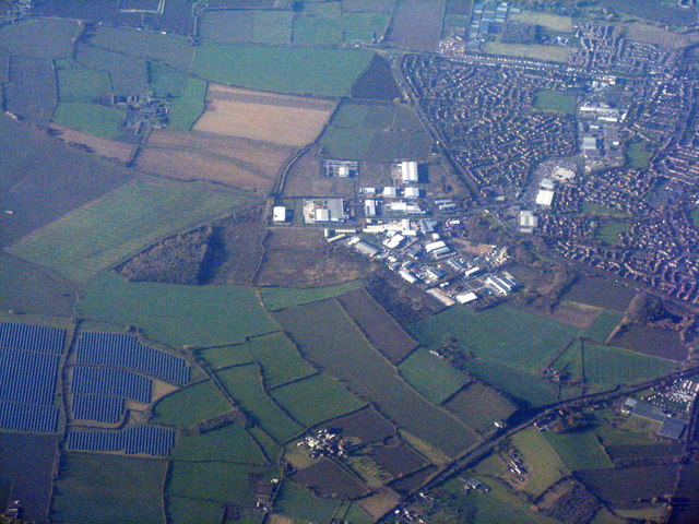
Pinket Coppice is a picturesque woodland located in the county of Gloucestershire, England. Covering an area of approximately 50 acres, this enchanting forest is situated in the heart of the Cotswolds, renowned for its natural beauty and rural charm.
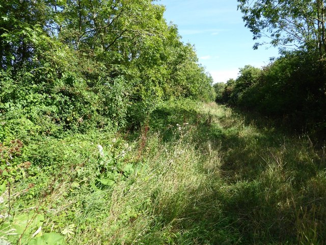
The woodland is predominantly made up of a diverse array of deciduous trees, including oak, beech, and ash, which create a stunning canopy of foliage throughout the year. The forest floor is blanketed with a rich carpet of bluebells in the spring, providing a breathtaking sight for visitors.
Pinket Coppice offers a tranquil escape for nature enthusiasts, hikers, and wildlife lovers alike. The forest is home to a wide variety of flora and fauna, including deer, squirrels, and an abundance of bird species. It serves as an important habitat for many native wildlife species, contributing to the overall biodiversity of the region.
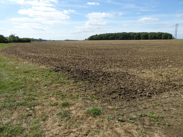
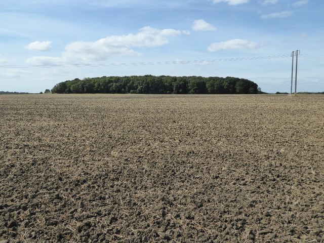
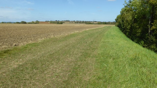
Visitors can explore the forest through a network of well-maintained walking trails, allowing them to fully immerse themselves in the natural surroundings. The trails offer panoramic views of the rolling hills and idyllic countryside, making it a popular destination for photographers and artists seeking inspiration.
Additionally, Pinket Coppice is a designated Site of Special Scientific Interest (SSSI), recognizing its importance in terms of conservation and scientific research. This status ensures that the woodland is protected and preserved for future generations to enjoy.
Whether it's a leisurely stroll, a picnic in the shade of ancient trees, or simply a moment of solitude in nature, Pinket Coppice offers a serene and captivating experience for all who visit.
If you have any feedback on the listing, please let us know in the comments section below.
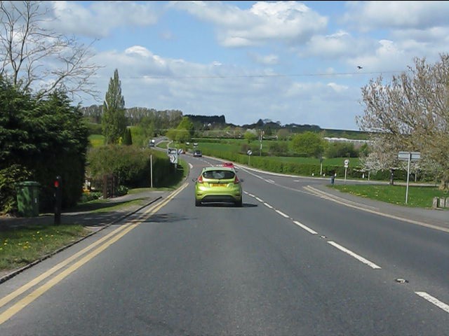
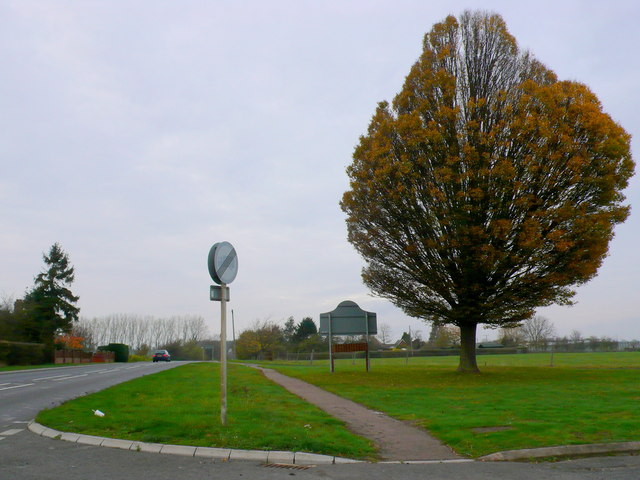
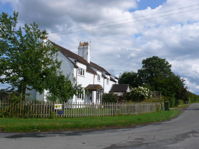
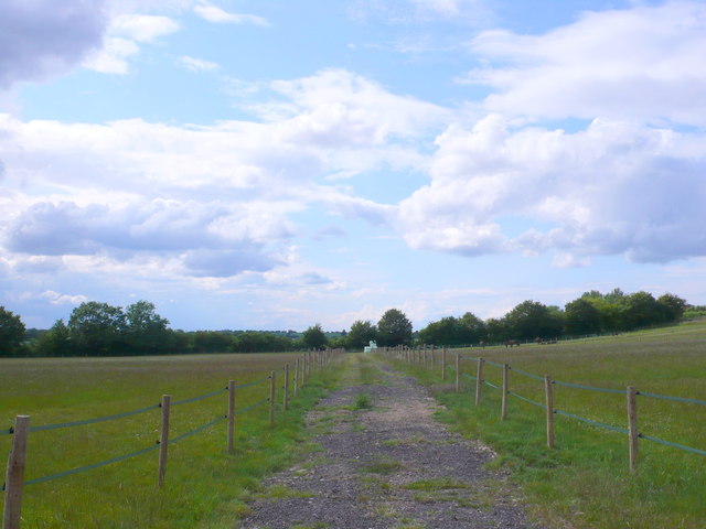
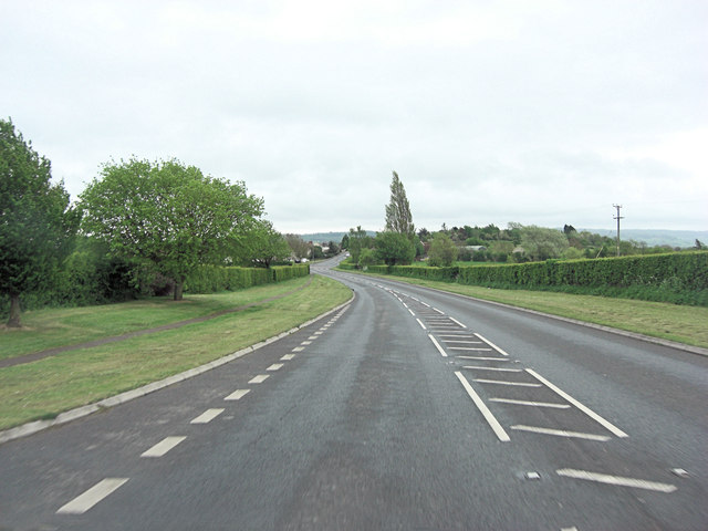
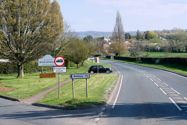
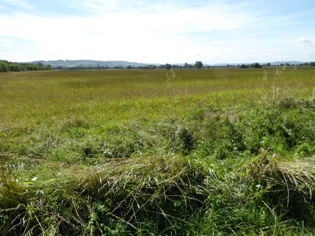
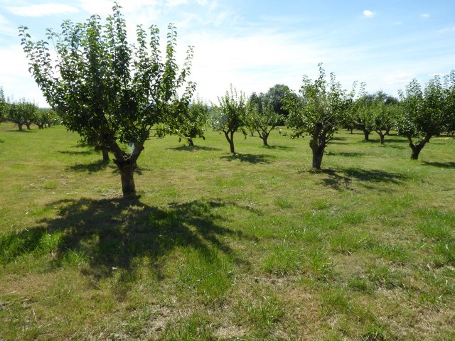
Pinket Coppice Images
Images are sourced within 2km of 52.056055/-1.9232552 or Grid Reference SP0539. Thanks to Geograph Open Source API. All images are credited.


Pinket Coppice is located at Grid Ref: SP0539 (Lat: 52.056055, Lng: -1.9232552)
Administrative County: Worcestershire
District: Wychavon
Police Authority: West Mercia
What 3 Words
///handyman.prefix.amid. Near Badsey, Worcestershire
Nearby Locations
Related Wikis

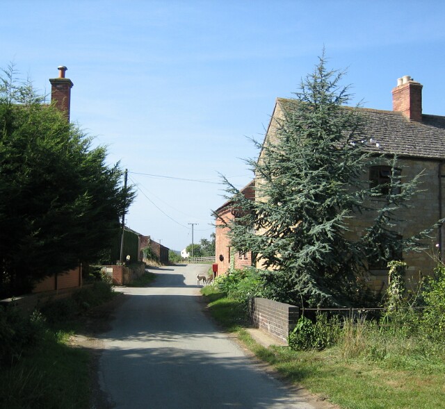
Murcot
Murcot is a hamlet in the English county of Worcestershire. Murcot is located in the west of the Vale of Evesham and is to the west and south of the village...
Aston Somerville
Aston Somerville is a small village approximately 3 miles (4.8 km) south of Evesham, Worcestershire, England. == History == Historically, the Aston Somerville...

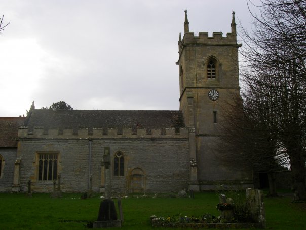
Wickhamford
Wickhamford is a village and a civil parish in Worcestershire, England. It is situated on the A44 road approximately halfway between the towns of Evesham...

Childswickham
Childswickham is a village in Worcestershire, England, situated within the flat open landscape of the Vale of Evesham, between the Bredon and Cotswold...
Hinton on the Green
Hinton on the Green is a village and civil parish in the Wychavon district of Worcestershire in England. It is situated at the foot of Bredon Hill, about...
Wickhamford Manor
Wickhamford Manor, Wickhamford, Worcestershire is a manor house dating from the 16th century. It was the childhood home of James Lees-Milne, the writer...

Evesham United F.C.
Evesham United Football Club are an English football club based in Evesham, Worcestershire. They reached the first round proper of the FA Cup for the first...

Sedgeberrow
Sedgeberrow is a village and civil parish in the Wychavon district of Worcestershire, England, about 3 miles (4.8 km) south of Evesham. It stands beside...
Nearby Amenities
Located within 500m of 52.056055,-1.9232552Have you been to Pinket Coppice?
Leave your review of Pinket Coppice below (or comments, questions and feedback).