Blakemoor Plantation
Wood, Forest in Derbyshire High Peak
England
Blakemoor Plantation

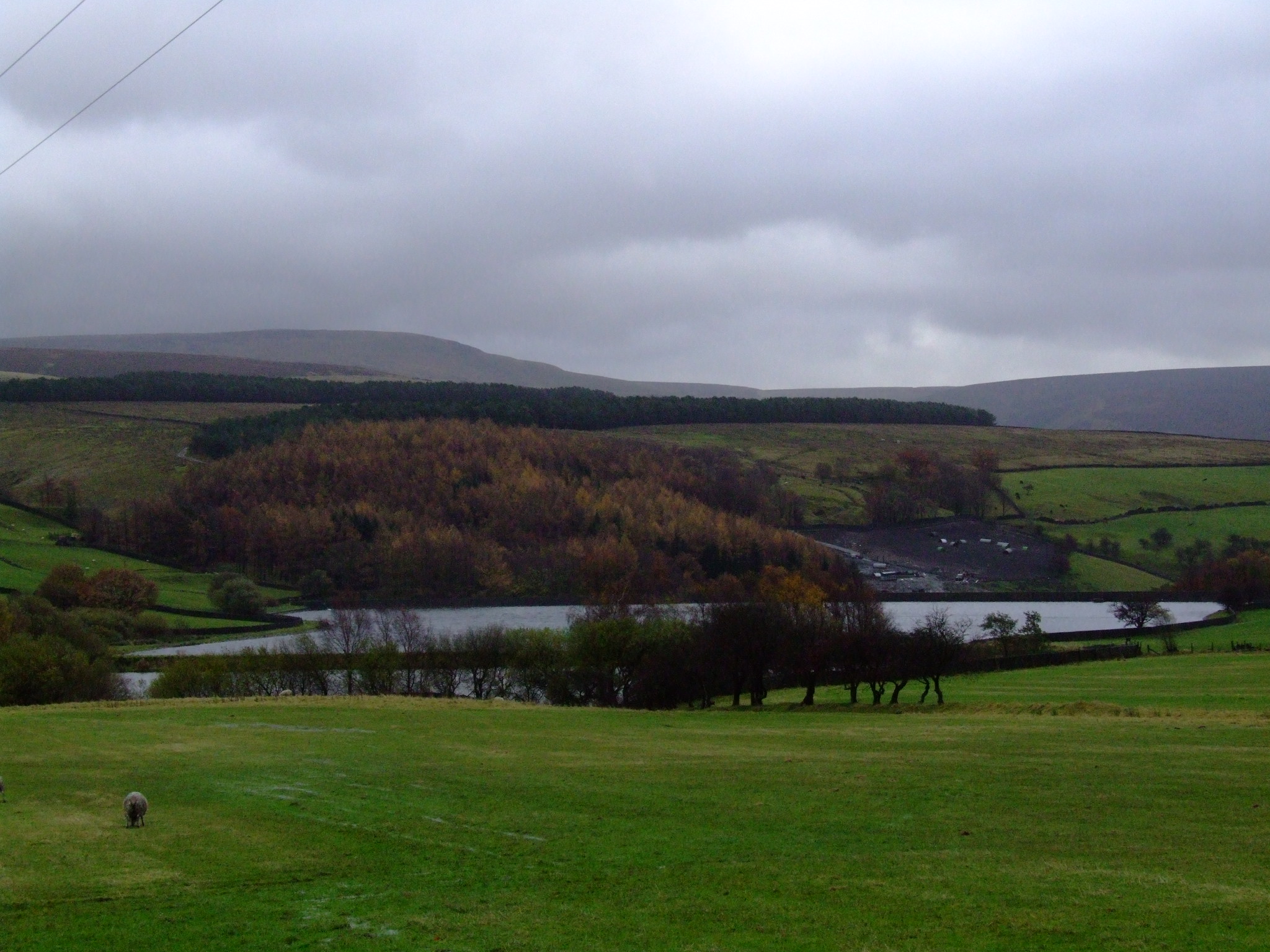
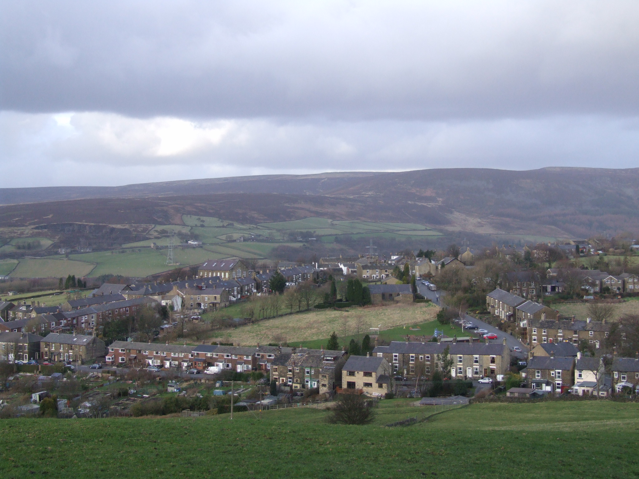
Blakemoor Plantation is a picturesque woodland located in Derbyshire, England. With its lush greenery and serene atmosphere, it is a popular destination for nature enthusiasts and hikers alike. Situated on the outskirts of the charming village of Blakemoor, it covers an area of approximately 500 acres.
This enchanting woodland is home to a diverse range of flora and fauna. Tall, majestic oak trees dominate the landscape, alongside an array of other native species such as birch, beech, and chestnut trees. The forest floor is adorned with a vibrant carpet of wildflowers, including bluebells, primroses, and foxgloves during the spring season.
Blakemoor Plantation is also abundant in wildlife. Numerous species of birds inhabit the woodland, including woodpeckers, owls, and various songbirds. Squirrels can be spotted playfully scampering across tree branches, while elusive deer are occasionally glimpsed in the distance.
The plantation offers a network of well-maintained trails that wind through its enchanting landscape, providing visitors with opportunities for leisurely strolls or invigorating hikes. The pathways are clearly marked, ensuring that visitors can explore the woodland at their own pace and easily navigate their way through the various sections of the plantation.
Blakemoor Plantation is not only a haven for nature lovers but also a place of historical significance. It is believed to have been established in the late 18th century and has since been meticulously preserved, maintaining its original charm and natural beauty.
Overall, Blakemoor Plantation in Derbyshire is a captivating destination, offering a tranquil retreat from the bustling city life and providing visitors with a chance to immerse themselves in the wonders of nature.
If you have any feedback on the listing, please let us know in the comments section below.
Blakemoor Plantation Images
Images are sourced within 2km of 53.45633/-1.9266659 or Grid Reference SK0495. Thanks to Geograph Open Source API. All images are credited.


Blakemoor Plantation is located at Grid Ref: SK0495 (Lat: 53.45633, Lng: -1.9266659)
Administrative County: Derbyshire
District: High Peak
Police Authority: Derbyshire
What 3 Words
///heaven.gardens.vertical. Near Glossop, Derbyshire
Nearby Locations
Related Wikis
Swineshaw Reservoir (Derbyshire)
For the reservoirs near Stalybridge, in Tameside, Greater Manchester, see Higher Swineshaw Reservoir and Lower Swineshaw Reservoir Swineshaw Reservoir...

Shire Hill Hospital
Shire Hill Hospital was a healthcare facility in Bute Street, Glossop, Derbyshire, England. It was managed by Tameside and Glossop Integrated Care NHS...
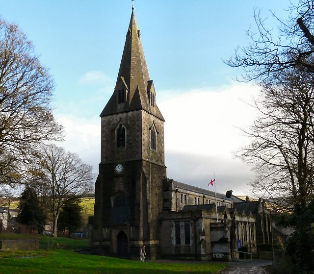
All Saints' Church, Glossop
All Saints’ Church, Glossop, is a Grade II listed parish church in the Church of England: 218 in Glossop, Derbyshire, England. == History == The first...

Mossy Lea Reservoir
Mossy Lea Reservoir is a disused reservoir near Glossop, north Derbyshire. In 1837, 50 local millowners and gentlemen, known as the "Glossop Commissioners...

Manor Park, Glossop
Manor Park is a city park in Glossop, Derbyshire, England. == History == The park was originally part of the now demolished Glossop Hall, formerly called...
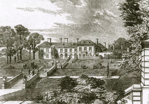
Glossop Hall
Glossop Hall was the last residential building on the site of Royle Hall in Glossop, Derbyshire. It was located south of Old Glossop at the heart of Glossop...

Hurst Reservoir
Hurst Reservoir is a former, now disused, reservoir near Glossop, north Derbyshire. == History == In 1837, 50 local millowners and gentlemen, known as...
Padfield
Padfield is a small village near Hadfield in High Peak, Derbyshire, England. The village is on the west side of the Peak District National Park, and the...
Related Videos
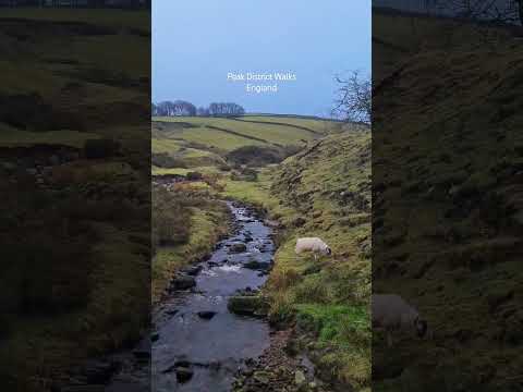
Scenic Peak District Stroll | Moorfield, Glossop #peakdistrict #hiking #travel
On The Way To Kinder Scout.

Glossop, Peak District 💚
Glossop it's one of Peakdistrict destinations. Absolutely fantastic place for walking and hiking with your family #explore ...

Hiking Weird Bleaklow: The Longdendale Lights
Walking Bramah Edge and investigating the mysterious Longdendale Lights! Including a lunch stop in Ogden Clough - the spot ...

Scenic Drive, The English Countryside, Glossop #england #travel #shorts
Derbyshire Level, Glossop.
Nearby Amenities
Located within 500m of 53.45633,-1.9266659Have you been to Blakemoor Plantation?
Leave your review of Blakemoor Plantation below (or comments, questions and feedback).