Bespidge Wood

Wood, Forest in Gloucestershire Tewkesbury

England

Bespidge Wood

A developing Cotswold valley Part of the water catchment area of the River Windrush, though the Windrush itself flows beyond the far hill.
A developing Cotswold valley Credit: Bill Boaden

Bespidge Wood is a picturesque forest located in the county of Gloucestershire, England. Covering an area of approximately 100 acres, this woodland is known for its natural beauty and diverse ecosystem. The wood is situated in the heart of the Cotswolds, a region renowned for its rolling hills and charming villages.

Bespidge Wood is primarily composed of deciduous trees, such as oak, beech, and ash, which create a lush canopy during the spring and summer months. The forest floor is rich with ferns, bluebells, and other wildflowers, providing a vibrant display of colors. A network of well-maintained pathways winds through the wood, allowing visitors to explore its hidden nooks and crannies.

This woodland is home to a variety of wildlife, including deer, foxes, badgers, and numerous bird species. Nature enthusiasts and birdwatchers flock to Bespidge Wood to observe and appreciate its diverse fauna. The tranquil atmosphere and abundance of wildlife make it an ideal location for nature photography and outdoor activities such as hiking and picnicking.

Bespidge Wood is open to the public throughout the year, free of charge. It is managed by the local forestry commission, who ensure the preservation of the woodland's natural beauty and habitats. The wood is easily accessible by car and there is ample parking available nearby. Visitors are advised to wear suitable footwear and take precautions against ticks during their visit.

In summary, Bespidge Wood is a captivating forest in Gloucestershire, offering visitors a chance to immerse themselves in the wonders of nature. With its lush vegetation, diverse wildlife, and well-maintained trails, it is an enchanting destination for both locals and tourists alike.

If you have any feedback on the listing, please let us know in the comments section below.

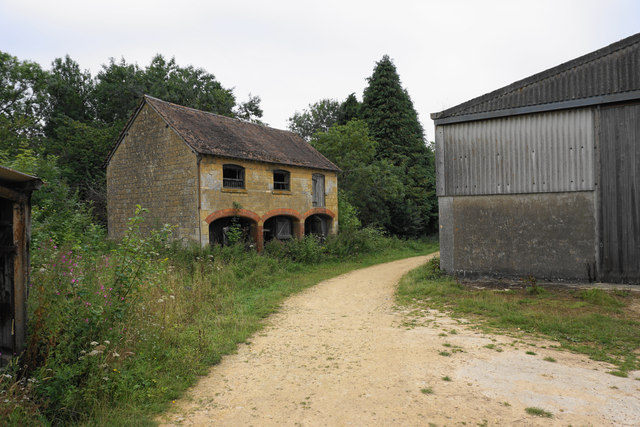
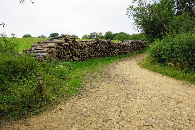
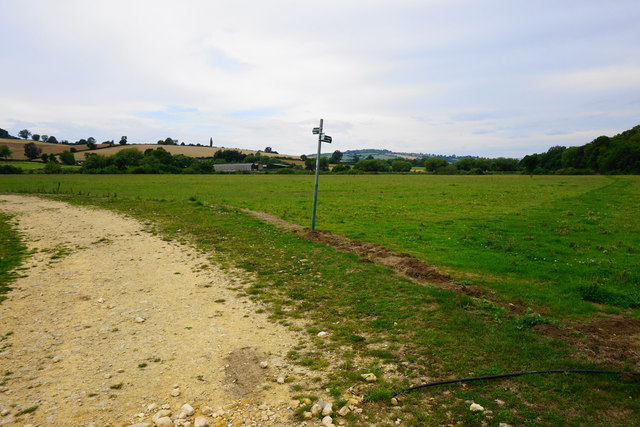
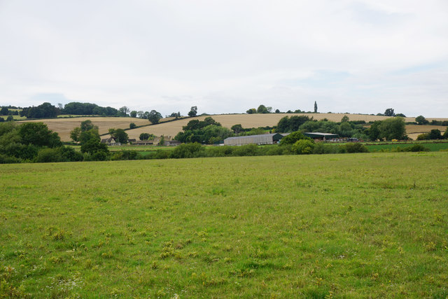
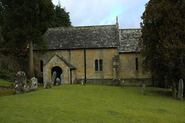
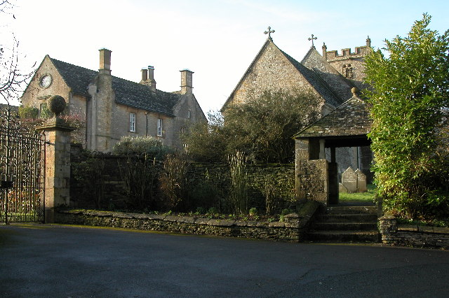
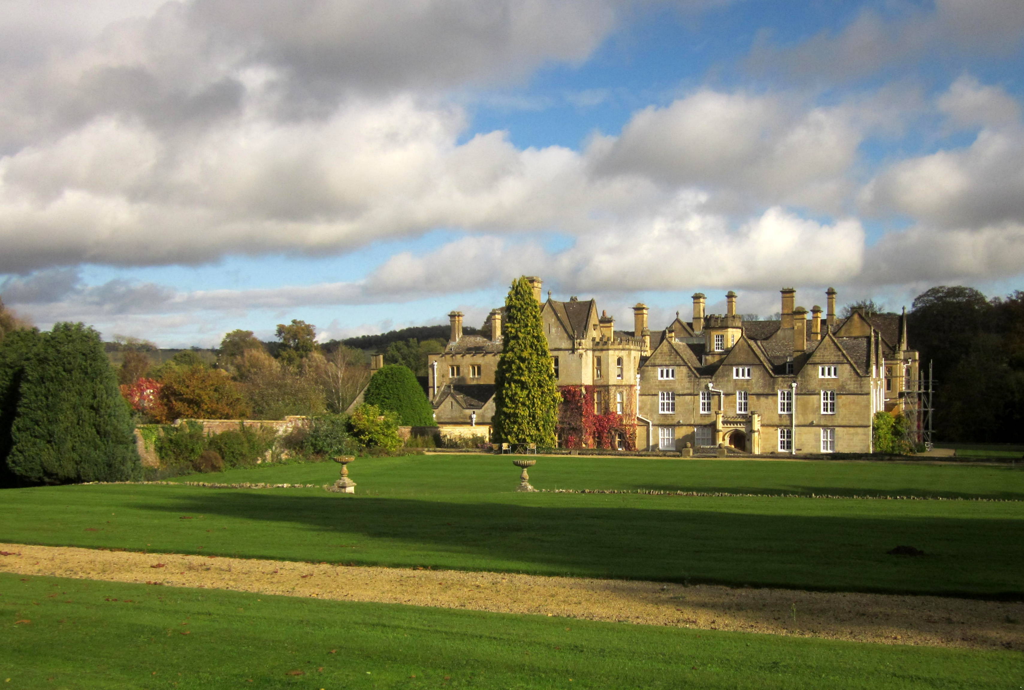
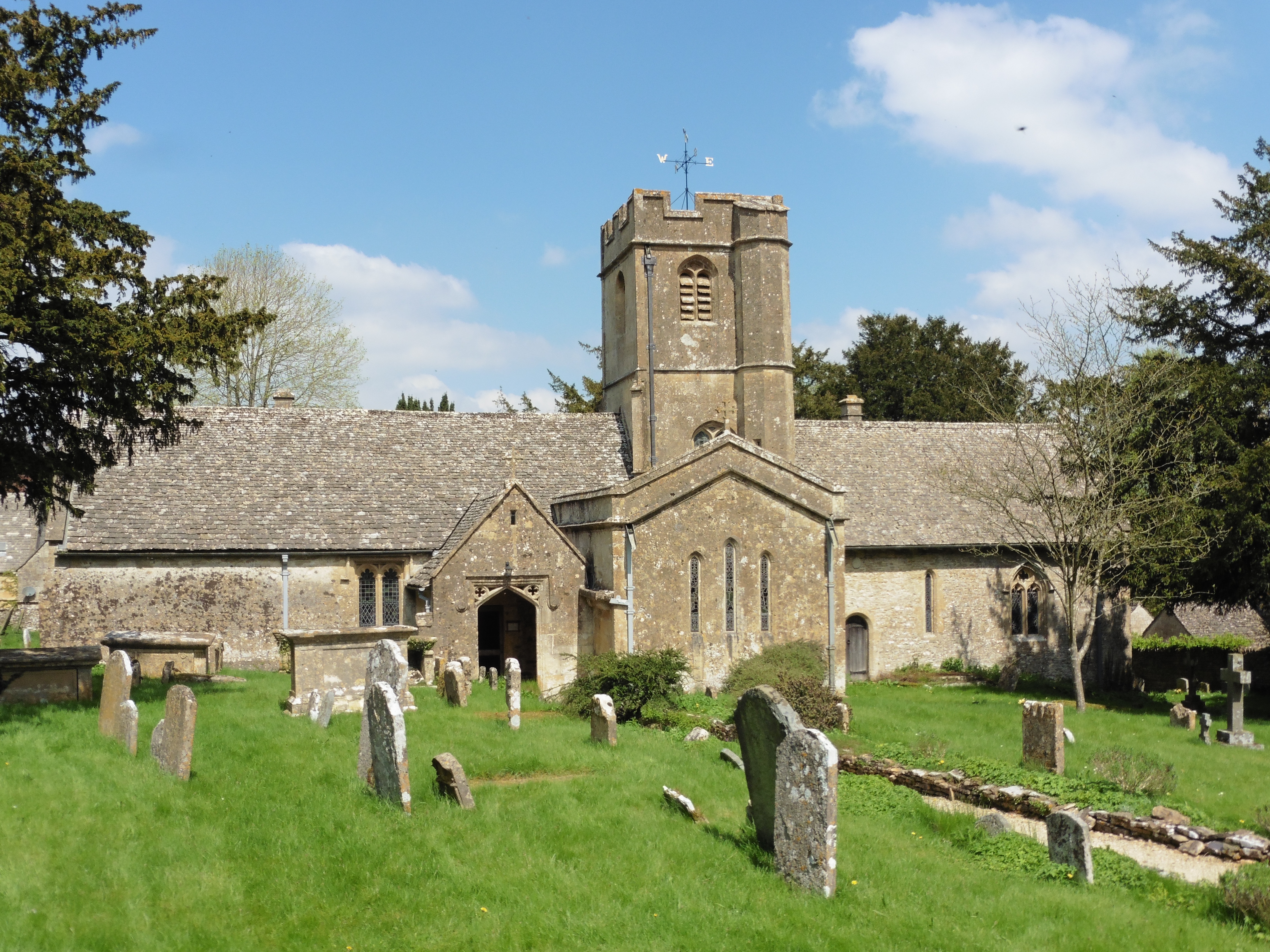
Bespidge Wood Images

Images are sourced within 2km of 51.921343/-1.9315253 or Grid Reference SP0424. Thanks to Geograph Open Source API. All images are credited.

A developing Cotswold valley Part of the water catchment area of the River Windrush, though the Windrush itself flows beyond the far hill.
A developing Cotswold valley
Part of the water catchment area of the River Windrush, though the Windrush itself flows beyond the far hill.
The Windrush Way near Hawling Very pleasant walking, though most of the views are to the east.
The Windrush Way near Hawling
Very pleasant walking, though most of the views are to the east.
Harvested fields near Roel Hill A harvester and a tractor are still at work, both sending up clouds of dust.
Harvested fields near Roel Hill
A harvester and a tractor are still at work, both sending up clouds of dust.
The Windrush Way by a harvested field Looking in the direction of Hawling.
The Windrush Way by a harvested field
Looking in the direction of Hawling.
Poppies by a cabbage field The crop is certainly some member of the brassica family, but there are lots of invaders in the field and I wonder if the crop will be harvested.
Poppies by a cabbage field
The crop is certainly some member of the brassica family, but there are lots of invaders in the field and I wonder if the crop will be harvested.
Harvested field by Roel Gate Looking uphill from the crossroads.
Harvested field by Roel Gate
Looking uphill from the crossroads.
The Windrush Way heading towards Winchcombe It uses a farm track to begin quite a long descent to Winchcombe.
The Windrush Way heading towards Winchcombe
It uses a farm track to begin quite a long descent to Winchcombe.
Former quarry above Charlton Abbots Now buried in woodland and undergrowth.
Former quarry above Charlton Abbots
Now buried in woodland and undergrowth.
Field below Bespidge Wood The Cotswold hillside slopes down towards the Isbourne valley.
Field below Bespidge Wood
The Cotswold hillside slopes down towards the Isbourne valley.
Track to Spoonley farm The Windrush Way uses this track on its way down the Cotswold escarpment to Winchcombe. Spoonley farm is now more a nice residence than a farm. the driveway looks a bit manicured.
Track to Spoonley farm
The Windrush Way uses this track on its way down the Cotswold escarpment to Winchcombe. Spoonley farm is now more a nice residence than a farm. the driveway looks a bit manicured.
Spoonley Farm House It appears to be in the process of having a front yard built, and much of the material is waiting here.
Spoonley Farm House
It appears to be in the process of having a front yard built, and much of the material is waiting here.
Meeting of tracks below Spoonley Farm Originally just providing field access.
Meeting of tracks below Spoonley Farm
Originally just providing field access.
Farm track on Cole's Hill The Windrush Way uses this track. The valley of the River Isbourne is opening up ahead.
Farm track on Cole's Hill
The Windrush Way uses this track. The valley of the River Isbourne is opening up ahead.
Waterhatch A collection of farm buildings which don't appear to be greatly used.
Waterhatch
A collection of farm buildings which don't appear to be greatly used.
Pile of logs near Waterhatch This shows that there is still some activity around this farm, which is showing some signs of disuse.
Pile of logs near Waterhatch
This shows that there is still some activity around this farm, which is showing some signs of disuse.
Footpath to Winchcombe The footpath leaves the farm track which provides vehicle access to Waterhatch.
Footpath to Winchcombe
The footpath leaves the farm track which provides vehicle access to Waterhatch.
Fields below Newmeadow Farm This is the valley bottom of Beesmoor Brook, which is a significant tributary of the River Isbourne.
Fields below Newmeadow Farm
This is the valley bottom of Beesmoor Brook, which is a significant tributary of the River Isbourne.
Wheat field above Parks Farm The field extends up to the forest at the top of the escarpment.
Wheat field above Parks Farm
The field extends up to the forest at the top of the escarpment.
Show me another place!

Bespidge Wood is located at Grid Ref: SP0424 (Lat: 51.921343, Lng: -1.9315253)

Administrative County: Gloucestershire

District: Tewkesbury

Police Authority: Gloucestershire

What 3 Words

///powering.pose.recitals. Near Winchcombe, Gloucestershire

Related Wikis

Nearby Amenities

Located within 500m of 51.921343,-1.9315253
Spoonley Farm
Power: pole
Transformer: distribution
Voltage Primary: 11000
Lat/Long: 51.9245475/-1.9330945
Power: pole
Lat/Long: 51.9246291/-1.9343326
Power: pole
Lat/Long: 51.9247201/-1.935612
Power: pole
Lat/Long: 51.9247225/-1.9363415
The data included in this document is from www.openstreetmap.org. The data is made available under ODbL.

Have you been to Bespidge Wood?

Leave your review of Bespidge Wood below (or comments, questions and feedback).