Pond Plantation
Wood, Forest in Northumberland
England
Pond Plantation
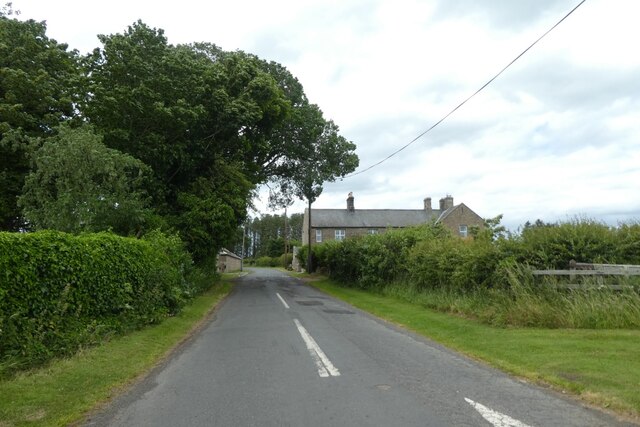
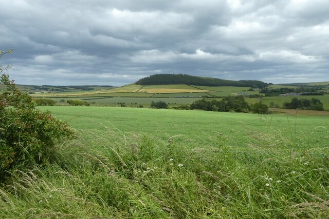
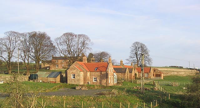
Pond Plantation is a picturesque woodland area located in Northumberland, a county in the northeast of England. Covering an expansive area, the plantation is renowned for its dense forests and tranquil ponds, providing visitors with a serene and immersive natural experience.
The woodland within the plantation is primarily composed of a variety of deciduous and coniferous trees, including oak, beech, ash, and pine. This diverse range of tree species creates a rich and vibrant ecosystem, supporting a wide array of wildlife. Visitors to Pond Plantation can expect to encounter an abundance of bird species, such as woodpeckers, owls, and various songbirds, as well as small mammals like squirrels, rabbits, and hedgehogs.
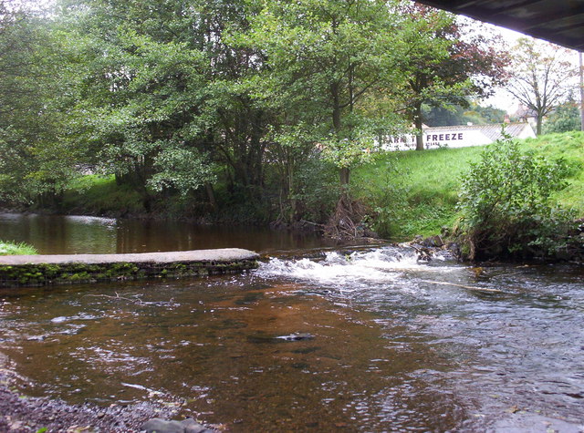
The plantation is also home to several ponds, which add to the beauty and charm of the landscape. These ponds are teeming with aquatic life, including various species of fish, frogs, and waterfowl. The presence of these ponds also attracts a variety of dragonflies and other insects, creating a haven for nature enthusiasts and photographers.
Pond Plantation offers numerous walking trails and paths, allowing visitors to explore the woodland at their own pace. These paths wind through the trees, offering glimpses of the ponds and providing opportunities for peaceful reflection and relaxation. The plantation is also equipped with picnic areas, making it an ideal spot for families and outdoor gatherings.
Overall, Pond Plantation in Northumberland is a captivating natural retreat, offering a harmonious blend of woodlands and ponds that are sure to enchant visitors seeking solace in nature.
If you have any feedback on the listing, please let us know in the comments section below.
Pond Plantation Images
Images are sourced within 2km of 55.566111/-1.9274307 or Grid Reference NU0430. Thanks to Geograph Open Source API. All images are credited.


Pond Plantation is located at Grid Ref: NU0430 (Lat: 55.566111, Lng: -1.9274307)
Unitary Authority: Northumberland
Police Authority: Northumbria
What 3 Words
///decoder.aside.financial. Near Doddington, Northumberland
Nearby Locations
Related Wikis

Fowberry Tower
Fowberry Tower is a Grade II* listed mansion house, situated on the banks of the River Till, near Chatton, Northumberland.The Manor of Fowberry was owned...

Berwick-upon-Tweed (UK Parliament constituency)
Berwick-upon-Tweed ( ) is a parliamentary constituency in Northumberland represented in the House of Commons of the UK Parliament since 2015 by Anne-Marie...
Horton, Chatton
Horton is a pair of small settlements, West Horton and East Horton, divided by a stream - the Horton Burn - in Northumberland, England 3 miles (5 km) north...

Chatton
Chatton is a village in Northumberland, in England. It is roughly 6 km (3.7 mi) to the east of Wooler. == History == Chatton has been occupied for many...
Colour Heugh and Bowden Doors
Colour Heugh and Bowden Doors are two crag rock formations in north Northumberland in North East England, designated as a Site of Special Scientific Interest...
Wooler Water
Wooler Water is a stream that flows through Wooler in Northumberland, England. It is a tributary of the River Till and is 12 miles (20 km) in length. Its...

Chillingham, Northumberland
Chillingham is a village in Northumberland, England. It is situated approximately 6 km (3.7 mi) to the east of Wooler, south of Chatton. At the 2011 Census...
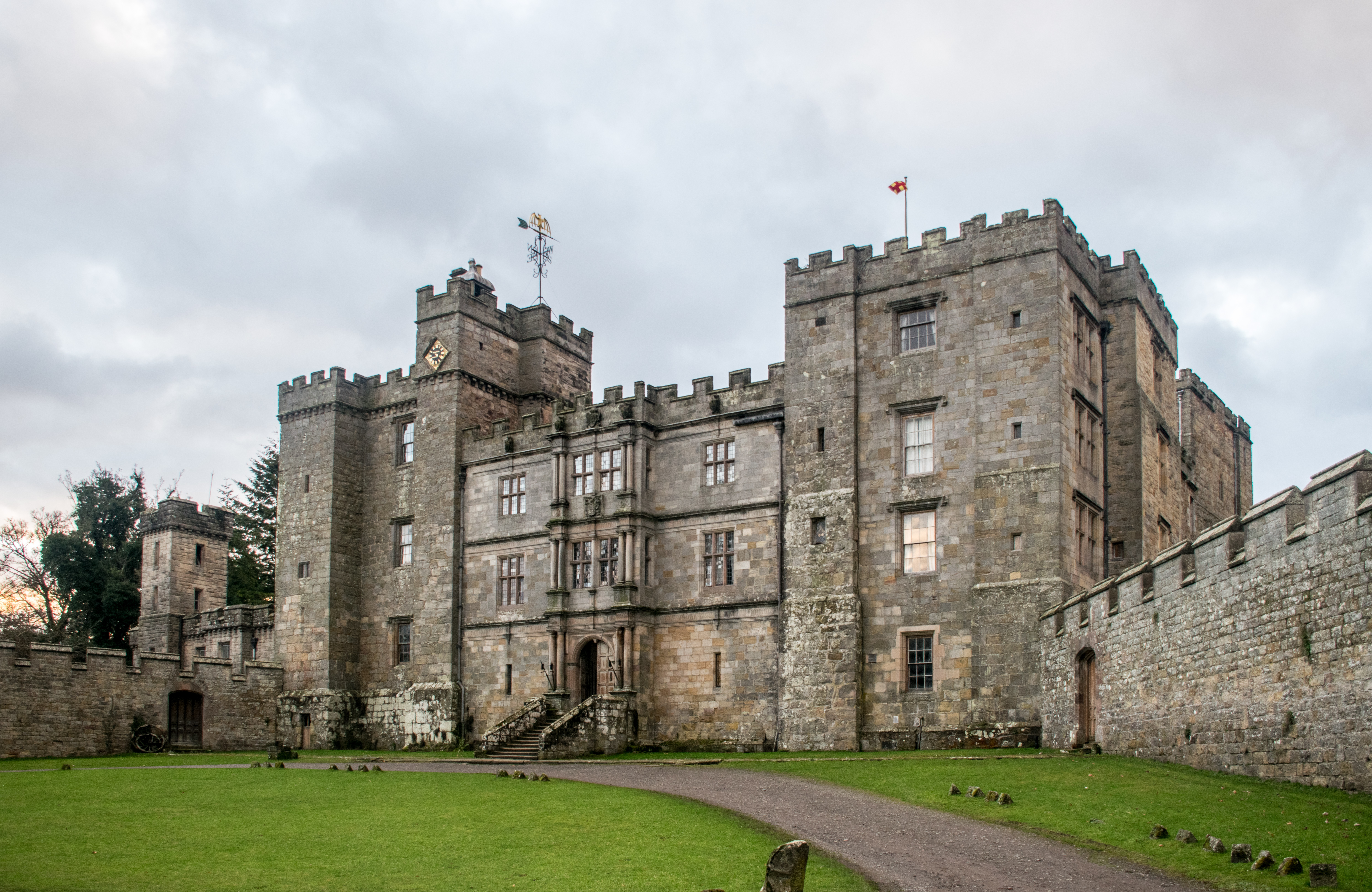
Chillingham Castle
Chillingham Castle is a medieval castle in the village of Chillingham in the northern part of Northumberland, England. It was the seat of the Grey and...
Nearby Amenities
Located within 500m of 55.566111,-1.9274307Have you been to Pond Plantation?
Leave your review of Pond Plantation below (or comments, questions and feedback).