The Spinney

Wood, Forest in Staffordshire

England

The Spinney

Garden in the snow The first snow of winter 2022 covers the garden.
Garden in the snow Credit: Derek Bennett

The Spinney is a picturesque woodland located in Staffordshire, England. Covering an area of approximately 50 acres, this enchanting forest is a popular destination for nature lovers and outdoor enthusiasts alike. The Spinney is characterized by its dense canopy of mature trees, creating a serene and tranquil atmosphere that is perfect for relaxation and exploration.

The woodland is home to a diverse range of flora and fauna, including native species such as oak, beech, and birch trees. The forest floor is adorned with a carpet of wildflowers, adding a burst of vibrant colors to the landscape during the spring and summer months. Various species of birds, small mammals, and insects can also be spotted amidst the trees, making it a haven for wildlife enthusiasts.

Visitors to The Spinney can enjoy a network of well-maintained walking trails that wind their way through the forest, offering opportunities for scenic strolls and peaceful picnics. The trails are suitable for all ages and abilities, with some routes offering wheelchair accessibility. Information boards located along the trails provide interesting facts about the woodland's history, wildlife, and conservation efforts.

The Spinney is managed by a local conservation organization, which ensures the preservation of the woodland's natural beauty and biodiversity. The organization also hosts educational programs and events, encouraging visitors to learn more about the importance of woodland conservation and sustainability.

With its serene ambiance and natural beauty, The Spinney offers a welcome retreat from the hustle and bustle of everyday life, providing a peaceful haven for individuals seeking solace in nature.

If you have any feedback on the listing, please let us know in the comments section below.
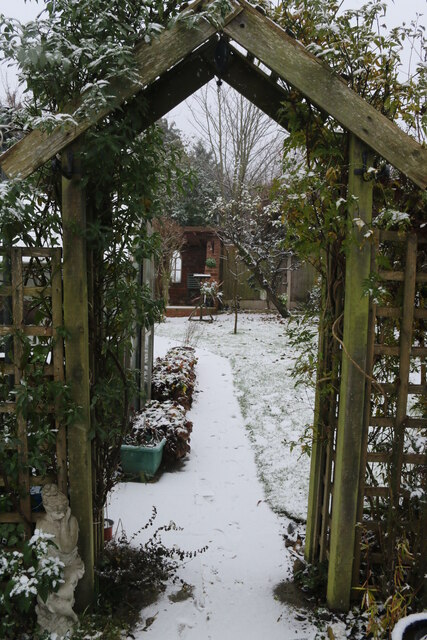
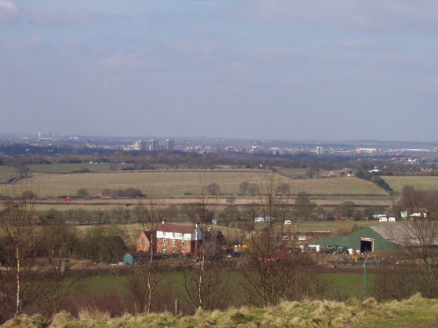
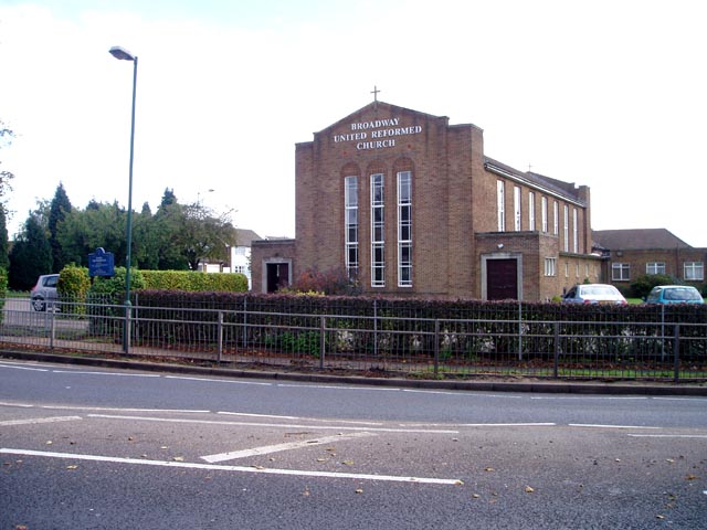
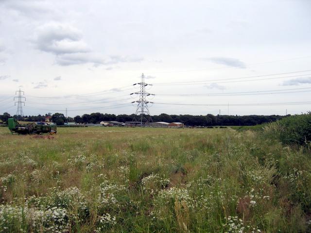
The Spinney Images

Images are sourced within 2km of 52.580037/-1.934005 or Grid Reference SP0498. Thanks to Geograph Open Source API. All images are credited.

Garden in the snow The first snow of winter 2022 covers the garden.
Garden in the snow
The first snow of winter 2022 covers the garden.
Snowy scene through the garden arch The first of the 2022 winter's snow seen. through the garden arch.
Snowy scene through the garden arch
The first of the 2022 winter's snow seen. through the garden arch.
A snowy garden The top of the garden in the first snow of winter 2022.
A snowy garden
The top of the garden in the first snow of winter 2022.
Near Walsall Airport This junction (seen from Longwood Lane) has been improved but that has removed some of the rural character of this area just outside town.
Near Walsall Airport
This junction (seen from Longwood Lane) has been improved but that has removed some of the rural character of this area just outside town.
View towards Pheasey On the horizon you can see Birmingham city centre.
View towards Pheasey
On the horizon you can see Birmingham city centre.
West of Barr Beacon
West of Barr Beacon
Barr Beacon In recent years the Beacon has gained something of an unsavoury reputation, but this evening I took our daughter there for the first time and it was fine: windswept and peaceful. And the views are, of course, superb.
Barr Beacon
In recent years the Beacon has gained something of an unsavoury reputation, but this evening I took our daughter there for the first time and it was fine: windswept and peaceful. And the views are, of course, superb.
View from the Dilke Looking across the fields north of the A454.
View from the Dilke
Looking across the fields north of the A454.
View from Barr Beacon The beacon gives extensive views over north Birmingham and surrounding districts. This is looking over toward Walsall
View from Barr Beacon
The beacon gives extensive views over north Birmingham and surrounding districts. This is looking over toward Walsall
Broadway United Reformed Church A large modern church on the Walsall ring road.
Broadway United Reformed Church
A large modern church on the Walsall ring road.
Lake in the middle of a Walsall housing estate My local informant didn't know the name of this lake, located next to Barry Road. A Google suggests that it may be called Park Hall Lake.
Lake in the middle of a Walsall housing estate
My local informant didn't know the name of this lake, located next to Barry Road. A Google suggests that it may be called Park Hall Lake.
Rushall Canal Looking north from the bridge just north of the B4151. The Arboretum golf course is to the left of this stretch of the canal.
Rushall Canal
Looking north from the bridge just north of the B4151. The Arboretum golf course is to the left of this stretch of the canal.
Rushall Canal from Five Ways Bridge This picture is taken in Park Hall Road, Walsall near to Lonsdale Road.
Rushall Canal from Five Ways Bridge
This picture is taken in Park Hall Road, Walsall near to Lonsdale Road.
Longwood Junction, Walsall. This is the junction of the Daw End and Rushall Canals showing Rushall top lock.  The spur on the left used to go to Hayhead Lime workings and is now used as moorings for Longwood Narrow Boat Club.
Longwood Junction, Walsall.
This is the junction of the Daw End and Rushall Canals showing Rushall top lock. The spur on the left used to go to Hayhead Lime workings and is now used as moorings for Longwood Narrow Boat Club.
The Three Crowns, Sutton Road, Walsall This is the pub at the top of Three Crowns Hill which replaced a much older one which was on the opposite side of the road.
I would like to add that the pub has now closed and is awaiting conversion (or demolition) to flats.
The Three Crowns, Sutton Road, Walsall
This is the pub at the top of Three Crowns Hill which replaced a much older one which was on the opposite side of the road. I would like to add that the pub has now closed and is awaiting conversion (or demolition) to flats.
Moat Farm, Sutton Road, Walsall. So called because there are the remains of a moat in the farm yard.
Moat Farm, Sutton Road, Walsall.
So called because there are the remains of a moat in the farm yard.
Little Johnson's Lane, Aldridge, Walsall. Just a short lane between Beacon Road and Sutton Road which is used as a rat run to avoid the traffic lights at the top of Beacon Hill.
Little Johnson's Lane, Aldridge, Walsall.
Just a short lane between Beacon Road and Sutton Road which is used as a rat run to avoid the traffic lights at the top of Beacon Hill.
Shrubbery Farm Looking east across the square from Eardington Road with the buildings of Shrubbery Farm in the middle of the square.   Sutton Coldfield TV transmitter mast can be seen in the distance in the right hand half of the picture
Shrubbery Farm
Looking east across the square from Eardington Road with the buildings of Shrubbery Farm in the middle of the square. Sutton Coldfield TV transmitter mast can be seen in the distance in the right hand half of the picture
Show me another place!

The Spinney is located at Grid Ref: SP0498 (Lat: 52.580037, Lng: -1.934005)

Unitary Authority: Walsall

Police Authority: West Midlands

What 3 Words

///solid.cooks.gets. Near Aldridge, West Midlands

Related Wikis

Hay Head Quarry

Hay Head Quarry (grid reference SP048987) is a 5.8 hectares (14 acres) geological site of Special Scientific Interest in the West Midlands. The site was...

St Martin's Church, Walsall

St Martin's Church is situated in the West Midlands town of Walsall on the corner of Sutton Road and Daffodil Road. St Martin's is an Anglican parish,...

Park Hall

Park Hall is an area near to the south-eastern edge of Walsall in the West Midlands of England. It is considered that the area near to the local Park Hall...

Walsall Aerodrome

Walsall Aerodrome, also known as Walsall Airport, Walsall Municipal Airport, and later as Walsall Aldridge Airport was an airport at Aldridge, Staffordshire...

Barr Beacon Reservoir

Barr Beacon Reservoir is a covered, hill-top drinking water reservoir at Barr Beacon, Walsall, England, opened in 1899. It is operated by South Staffs...

Barr Beacon

Barr Beacon is a hill on the edge of Walsall, West Midlands, England, very near the border with Birmingham. It gives its name to nearby Great Barr (the...

Aldridge School

Aldridge School is a mixed secondary school and sixth form with academy status located in Aldridge, in the Metropolitan Borough of Walsall in the West...
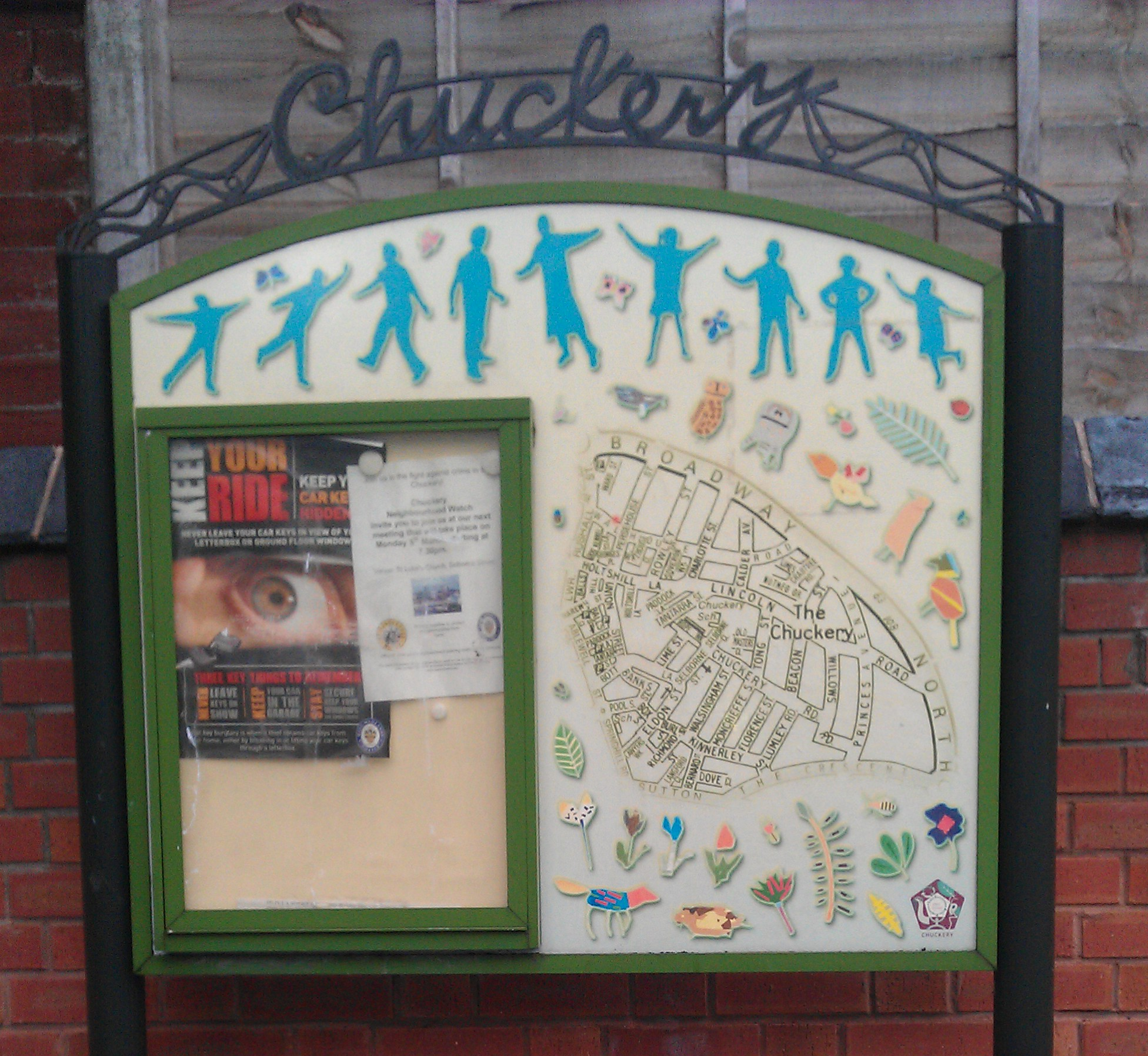
Chuckery

Chuckery is a small suburb of Walsall located a mile from the town centre. == Name == The name "Chuckery" is believed to originate from the common medieval...

Nearby Amenities

Located within 500m of 52.580037,-1.934005
Post Box
Postal Code: WS5
Ref: WS5 173
Lat/Long: 52.5813787/-1.9374851
Bus Stop
Sutton Rd / Skip Lane
NaPTANAreaCode: 43000660101
Asset Ref: 203501
Bench: no
Bus: yes
Location: Sutton Road;Skip Lane
Naptan AtcoCode: 43000660101
Naptan Bearing: W
Naptan BusStopType: MKD
Naptan CommonName: Skip Lane
Naptan Indicator: adj
Naptan Landmark: The Three Crowns
Naptan NaptanCode: nwmjawam
Naptan PlusbusZoneRef: BHAMNWS
Naptan Status: ACT
Naptan StopType: BCT
Naptan Street: SUTTON RD
Naptan Towards: Walsall
Naptan Verified: no
Public Transport: platform
Route Ref: 77;934;935
Shelter: yes
Shelter Ref: 203501
Source: WMCA
Tactile Paving: no
Towards: Walsall
Lat/Long: 52.5809361/-1.9319918
Bus Stop
Sutton Rd / Skip Lane
Asset Ref: 0660102
Bench: no
Bus: yes
Location: Sutton Road;Skip Lane
Naptan AtcoCode: 43000660102
Naptan Bearing: E
Naptan BusStopType: MKD
Naptan CommonName: Skip Lane
Naptan Indicator: opp
Naptan Landmark: The Three Crowns
Naptan NaptanCode: nwmjawap
Naptan PlusbusZoneRef: BHAMNWS
Naptan Status: ACT
Naptan StopType: BCT
Naptan Street: SUTTON RD
Naptan Towards: Barr Beacon
Naptan Verified: no
Public Transport: platform
Route Ref: 77;934;935
Shelter: no
Source: WMCA
Tactile Paving: no
Towards: Barr Beacon
Lat/Long: 52.5810647/-1.9315834
Bus Stop
Sutton Rd / Longwood Lane
NaPTANAreaCode: 43000660201
Bus: yes
Naptan AtcoCode: 43000660201
Naptan Bearing: SW
Naptan BusStopType: MKD
Naptan CommonName: Longwood Lane
Naptan Indicator: opp
Naptan NaptanCode: nwmjawat
Naptan PlusbusZoneRef: BHAMNWS
Naptan Status: ACT
Naptan StopType: BCT
Naptan Street: SUTTON RD
Naptan Towards: Walsall
Naptan Verified: no
Public Transport: platform
Route Ref: 77;935
Shelter: yes
Shelter Ref: 203421
Source: WMCA
Lat/Long: 52.581052/-1.9402582
Bus Stop
Sutton Rd / Longwood Lane
Bus: yes
Naptan AtcoCode: 43000660202
Naptan Bearing: NE
Naptan BusStopType: MKD
Naptan CommonName: Longwood Lane
Naptan Indicator: adj
Naptan NaptanCode: nwmjawaw
Naptan PlusbusZoneRef: BHAMNWS
Naptan Status: ACT
Naptan StopType: BCT
Naptan Street: SUTTON RD
Naptan Towards: Barr Beacon
Naptan Verified: no
Public Transport: platform
Route Ref: 77;935
Shelter: no
Source: WMCA
Lat/Long: 52.58116/-1.9404942
Bus Stop
Fallowfield Rd / Elmstead Close
Asset Ref: 0660902
Bus: yes
Location: Fallowfield Road;Elmstead Close
Naptan AtcoCode: 43000660902
Naptan Bearing: S
Naptan BusStopType: MKD
Naptan CommonName: Elmstead Close
Naptan Indicator: opp
Naptan NaptanCode: nwmjawgj
Naptan PlusbusZoneRef: BHAMNWS
Naptan Status: ACT
Naptan StopType: BCT
Naptan Street: FALLOWFIELD RD
Naptan Towards: Walsall
Naptan Verified: no
Public Transport: platform
Route Ref: 934
Source: WMCA
Towards: Foley Arms
Lat/Long: 52.5808199/-1.9381155
Bus Stop
Fallowfield Rd / Corn Hill
Bus: yes
Naptan AtcoCode: 43000661001
Naptan Bearing: S
Naptan BusStopType: MKD
Naptan CommonName: Corn Hill
Naptan Indicator: adj
Naptan NaptanCode: nwmjawgm
Naptan PlusbusZoneRef: BHAMNWS
Naptan Status: ACT
Naptan StopType: BCT
Naptan Street: FALLOWFIELD RD
Naptan Towards: Walsall
Naptan Verified: no
Public Transport: platform
Route Ref: 934
Source: WMCA
Lat/Long: 52.5793791/-1.9388142
Fallowfield Rd / Corn Hill
Naptan AtcoCode: 43000661002
Naptan Bearing: NE
Naptan BusStopType: CUS
Naptan CommonName: Corn Hill
Naptan NaptanCode: nwmtpwjt
Naptan PlusbusZoneRef: BHAMNWS
Naptan Status: DEL
Naptan StopType: BCT
Naptan Street: FALLOWFIELD RD
Naptan Towards: Barr Beacon
Naptan Verified: no
Note: removed between initial NaPTAN import 2009 and WMCA refresh 2017. Any errors just re-instate bus_stop tag
Source: WMCA
Lat/Long: 52.5793971/-1.9389027
Bus Stop
Fallowfield Rd / Daffodil Rd
Asset Ref: 6581002
Bus: yes
Naptan AtcoCode: 43006581002
Naptan Bearing: SW
Naptan BusStopType: MKD
Naptan CommonName: Daffodil Rd
Naptan Indicator: before
Naptan NaptanCode: nwmpmdta
Naptan PlusbusZoneRef: BHAMNWS
Naptan Status: ACT
Naptan StopType: BCT
Naptan Street: FALLOWFIELD RD
Naptan Towards: Walsall
Public Transport: platform
Route Ref: 934
Shelter: yes
Source: WMCA
Lat/Long: 52.5780043/-1.940159
Bus Stop
Fallowfield Rd / Daffodil Rd
Bus: yes
Naptan AtcoCode: 43006581003
Naptan Bearing: SW
Naptan BusStopType: MKD
Naptan CommonName: Daffodil Rd
Naptan Indicator: after
Naptan NaptanCode: nwmtpwdm
Naptan PlusbusZoneRef: BHAMNWS
Naptan Status: ACT
Naptan StopType: BCT
Naptan Street: FALLOWFIELD RD
Naptan Towards: Barr Beacon
Naptan Verified: no
Public Transport: platform
Route Ref: 934
Source: WMCA
Lat/Long: 52.5780403/-1.940277
Bus Stop
Fallowfield Rd / Elmstead Close
Bus: yes
Naptan AtcoCode: 43000660903
Naptan Bearing: N
Naptan BusStopType: MKD
Naptan CommonName: Elmstead Close
Naptan Indicator: after
Naptan NaptanCode: nwmwawtd
Naptan Status: ACT
Naptan StopType: BCT
Naptan Street: FALLOWFIELD RD
Naptan Towards: Barr Beacon
Public Transport: platform
Route Ref: 934
Source: WMCA
Lat/Long: 52.5807425/-1.938387
Generator Method: photovoltaic
Generator Output Electricity: yes
Generator Source: solar
Generator Type: solar_photovoltaic_panel
Location: roof
Power: generator
Lat/Long: 52.5792284/-1.9380744
Bench
Backrest: yes
Colour: green
Material: wood
Seats: 4
Lat/Long: 52.5809197/-1.9320531
The data included in this document is from www.openstreetmap.org. The data is made available under ODbL.

Have you been to The Spinney?

Leave your review of The Spinney below (or comments, questions and feedback).