Spoonley Wood

Wood, Forest in Gloucestershire Tewkesbury

England

Spoonley Wood

Harvested fields near Roel Hill A harvester and a tractor are still at work, both sending up clouds of dust.
Harvested fields near Roel Hill Credit: Bill Boaden

Spoonley Wood is a picturesque woodland located in Gloucestershire, England. Situated just a few miles outside the town of Gloucester, this dense forest covers an area of approximately 500 acres and is a popular destination for nature enthusiasts and hikers alike.

The wood is primarily composed of deciduous trees, with a variety of species including oak, beech, and ash. The diverse range of tree species provides a rich habitat for various wildlife, such as deer, badgers, and a multitude of bird species. As a result, Spoonley Wood is designated as a Site of Special Scientific Interest, highlighting its importance for conservation and biodiversity.

The woodland is crisscrossed by a network of well-maintained footpaths and trails, allowing visitors to explore the area and immerse themselves in the natural beauty of the surroundings. The paths wind through the trees, opening up to sunny glades and offering glimpses of stunning views across the countryside.

Spoonley Wood is also home to a small but charming pond, which attracts a variety of water-dwelling creatures, including frogs and dragonflies. The tranquil atmosphere surrounding the pond provides a perfect spot for relaxation and contemplation.

Visitors to Spoonley Wood are encouraged to respect and preserve the natural environment by adhering to the designated trails and refraining from littering. The wood is accessible year-round, with each season offering its own unique charm, be it the vibrant colors of autumn or the fresh blooms of spring.

If you have any feedback on the listing, please let us know in the comments section below.

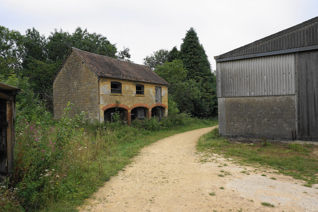
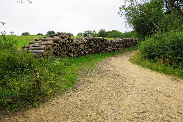
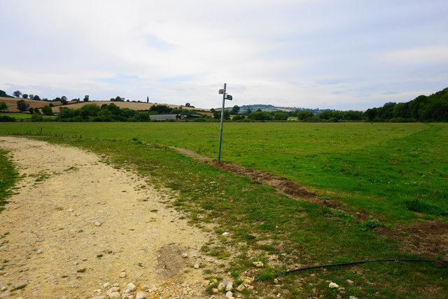
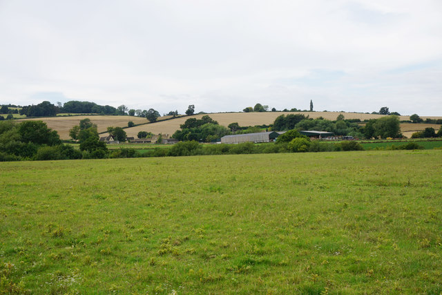
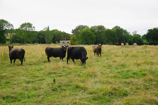
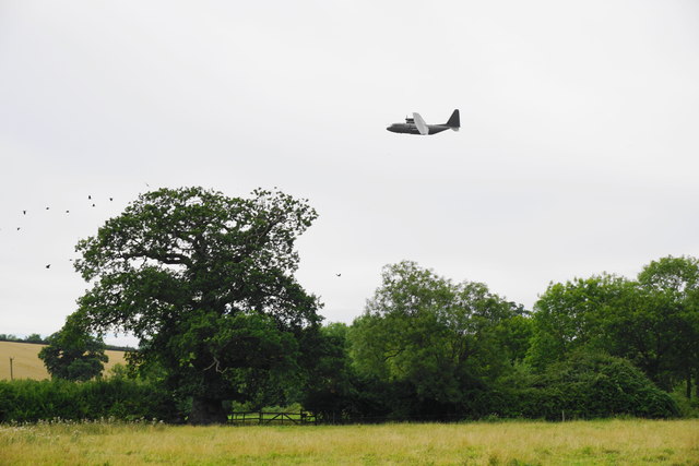
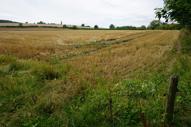
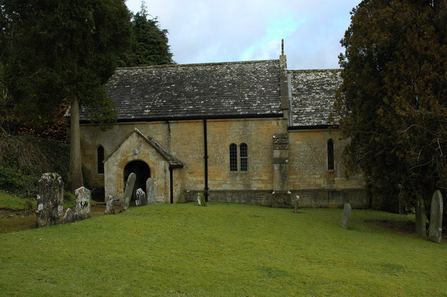
Spoonley Wood Images

Images are sourced within 2km of 51.928331/-1.9353104 or Grid Reference SP0425. Thanks to Geograph Open Source API. All images are credited.

Harvested fields near Roel Hill A harvester and a tractor are still at work, both sending up clouds of dust.
Harvested fields near Roel Hill
A harvester and a tractor are still at work, both sending up clouds of dust.
Poppies by a cabbage field The crop is certainly some member of the brassica family, but there are lots of invaders in the field and I wonder if the crop will be harvested.
Poppies by a cabbage field
The crop is certainly some member of the brassica family, but there are lots of invaders in the field and I wonder if the crop will be harvested.
Harvested field by Roel Gate Looking uphill from the crossroads.
Harvested field by Roel Gate
Looking uphill from the crossroads.
The Windrush Way heading towards Winchcombe It uses a farm track to begin quite a long descent to Winchcombe.
The Windrush Way heading towards Winchcombe
It uses a farm track to begin quite a long descent to Winchcombe.
Former quarry above Charlton Abbots Now buried in woodland and undergrowth.
Former quarry above Charlton Abbots
Now buried in woodland and undergrowth.
Field below Bespidge Wood The Cotswold hillside slopes down towards the Isbourne valley.
Field below Bespidge Wood
The Cotswold hillside slopes down towards the Isbourne valley.
Track to Spoonley farm The Windrush Way uses this track on its way down the Cotswold escarpment to Winchcombe. Spoonley farm is now more a nice residence than a farm. the driveway looks a bit manicured.
Track to Spoonley farm
The Windrush Way uses this track on its way down the Cotswold escarpment to Winchcombe. Spoonley farm is now more a nice residence than a farm. the driveway looks a bit manicured.
Spoonley Farm House It appears to be in the process of having a front yard built, and much of the material is waiting here.
Spoonley Farm House
It appears to be in the process of having a front yard built, and much of the material is waiting here.
Meeting of tracks below Spoonley Farm Originally just providing field access.
Meeting of tracks below Spoonley Farm
Originally just providing field access.
Farm track on Cole's Hill The Windrush Way uses this track. The valley of the River Isbourne is opening up ahead.
Farm track on Cole's Hill
The Windrush Way uses this track. The valley of the River Isbourne is opening up ahead.
Waterhatch A collection of farm buildings which don't appear to be greatly used.
Waterhatch
A collection of farm buildings which don't appear to be greatly used.
Pile of logs near Waterhatch This shows that there is still some activity around this farm, which is showing some signs of disuse.
Pile of logs near Waterhatch
This shows that there is still some activity around this farm, which is showing some signs of disuse.
Footpath to Winchcombe The footpath leaves the farm track which provides vehicle access to Waterhatch.
Footpath to Winchcombe
The footpath leaves the farm track which provides vehicle access to Waterhatch.
Fields below Newmeadow Farm This is the valley bottom of Beesmoor Brook, which is a significant tributary of the River Isbourne.
Fields below Newmeadow Farm
This is the valley bottom of Beesmoor Brook, which is a significant tributary of the River Isbourne.
Cows by the Windrush Way The Windrush Way is roughly following the line of Beesmoor Brook, though you don't get to see the brook.
Cows by the Windrush Way
The Windrush Way is roughly following the line of Beesmoor Brook, though you don't get to see the brook.
Low-flying aircraft near Winchcombe A reminder that there are RAF bases not too far away. The birds in the tree on the left considered this sufficient disturbance to move.
Low-flying aircraft near Winchcombe
A reminder that there are RAF bases not too far away. The birds in the tree on the left considered this sufficient disturbance to move.
Harvested field by No Man's Patch The Windrush Way runs by the edge of this field.
Harvested field by No Man's Patch
The Windrush Way runs by the edge of this field.
Path by a wheat field From here you can see down into the Isbourne valley, where Winchcombe is to the right.
Path by a wheat field
From here you can see down into the Isbourne valley, where Winchcombe is to the right.
Show me another place!

Spoonley Wood is located at Grid Ref: SP0425 (Lat: 51.928331, Lng: -1.9353104)

Administrative County: Gloucestershire

District: Tewkesbury

Police Authority: Gloucestershire

What 3 Words

///evolves.materials.willing. Near Winchcombe, Gloucestershire

Nearby Locations

Spoonley Wood

Related Wikis

Spoonley Wood Roman Villa

Spoonley Wood Roman Villa is an ancient Roman villa located 2 km south-east of Sudeley Castle near the town of Winchcombe, in Gloucestershire, England...

Charlton Abbots

Charlton Abbots is a village and former civil parish 12 miles (19 km) east of Gloucester, now in the parish of Sudeley, in the Tewkesbury district, in...

Belas Knap

Belas Knap is a neolithic, chambered long barrow situated on Cleeve Hill, near Cheltenham and Winchcombe, in Gloucestershire, England.It is a type of monument...

Hawling Manor, Gloucestershire

Hawling Manor in Hawling, Gloucestershire is a Grade II listed building. == History == Information from Country Life states that the manor "was held in...

Nearby Amenities

Located within 500m of 51.928331,-1.9353104
Spoonley Woods Roman Villa
Historic: archaeological_site
Website: http://www.pastscape.org/hob.aspx?hob_id=327838
Wikidata: Q12069819
Wikipedia: en:Spoonley Wood Roman Villa
Lat/Long: 51.9289034/-1.935424
Spoonley Farm
Power: pole
Transformer: distribution
Voltage Primary: 11000
Lat/Long: 51.9245475/-1.9330945
Power: pole
Lat/Long: 51.9246291/-1.9343326
Power: pole
Lat/Long: 51.9247201/-1.935612
Power: pole
Lat/Long: 51.9247225/-1.9363415
Power: pole
Lat/Long: 51.9247333/-1.9378244
Power: pole
Lat/Long: 51.924747/-1.9391175
The data included in this document is from www.openstreetmap.org. The data is made available under ODbL.

Have you been to Spoonley Wood?

Leave your review of Spoonley Wood below (or comments, questions and feedback).