Dilleys Covert
Wood, Forest in Gloucestershire Cotswold
England
Dilleys Covert

Dilleys Covert is a charming woodland located in the county of Gloucestershire, in the southwest of England. Situated in the heart of the Forest of Dean, this beautiful area covers an approximate area of 200 acres, making it a popular destination for nature enthusiasts and outdoor adventurers.
The woodland is characterized by its dense canopy of trees, predominantly consisting of oak, beech, and birch. These towering trees provide a tranquil and picturesque setting, offering visitors the chance to immerse themselves in the natural beauty of the forest. The forest floor is covered in a variety of flora, including bluebells, wild garlic, and ferns, creating an enchanting and vibrant ecosystem.
Dilleys Covert is home to a diverse range of wildlife, including deer, badgers, foxes, and numerous bird species. Visitors may be fortunate enough to catch a glimpse of these creatures as they explore the woodland trails. Additionally, the woodland is a haven for birdwatchers, with species such as woodpeckers, nightingales, and owls frequently spotted amongst the trees.
The area offers a network of well-maintained footpaths and trails, allowing visitors to explore the woodland at their own pace. These paths lead to various points of interest, including a babbling brook and a small pond teeming with life. The woodland also features several picnic areas, providing a perfect spot for visitors to relax and enjoy the peaceful surroundings.
Overall, Dilleys Covert is a remarkable woodland that showcases the natural beauty and biodiversity of Gloucestershire's Forest of Dean. It offers a wonderful opportunity for visitors to reconnect with nature and enjoy the tranquility of the woodland environment.
If you have any feedback on the listing, please let us know in the comments section below.
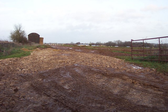
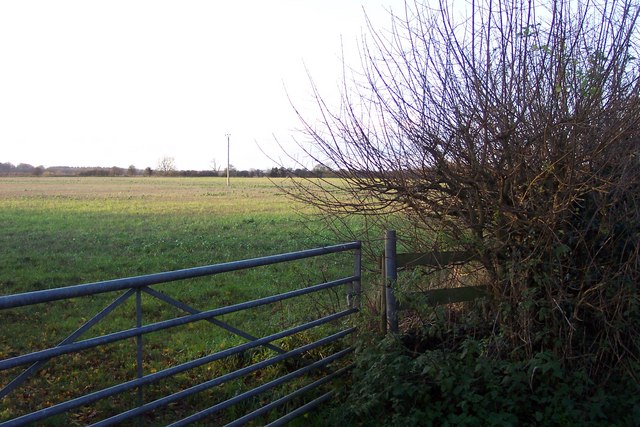
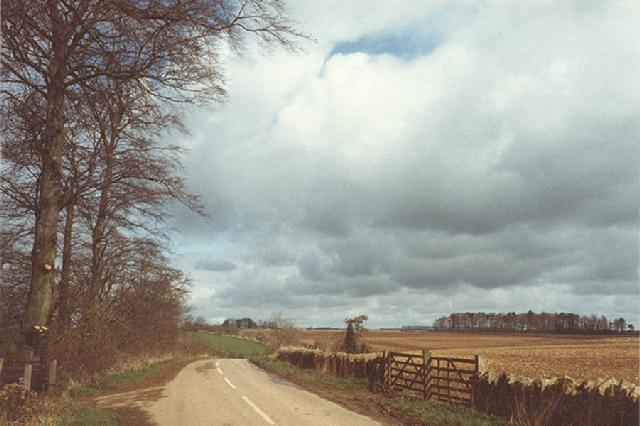
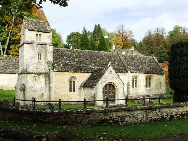
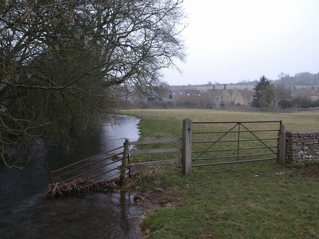
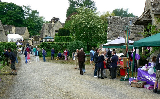
Dilleys Covert Images
Images are sourced within 2km of 51.756255/-1.9385255 or Grid Reference SP0406. Thanks to Geograph Open Source API. All images are credited.


Dilleys Covert is located at Grid Ref: SP0406 (Lat: 51.756255, Lng: -1.9385255)
Administrative County: Gloucestershire
District: Cotswold
Police Authority: Gloucestershire
What 3 Words
///difficult.moving.drives. Near Stratton, Gloucestershire
Nearby Locations
Related Wikis
Barnsley Warren
Barnsley Warren (grid reference SP055064) is a 61.3-hectare (151-acre) biological Site of Special Scientific Interest in Gloucestershire, notified in 1954...

North Cerney
North Cerney is a village and civil parish in the English county of Gloucestershire, and lies within the Cotswolds, a range of hills designated an Area...
Bagendon
Bagendon is a village and civil parish in the Cotswold district of Gloucestershire, England, about four miles north of Cirencester. According to the 2001...

A417 road
The A417 is a main road in England running from Streatley, Berkshire to Hope under Dinmore, Herefordshire. It is best known for its section between Cirencester...

Foss Cross Quarry
Foss Cross Quarry (grid reference SP056092) is a 0.67-hectare (1.7-acre) geological Site of Special Scientific Interest in Gloucestershire, notified in...
Baunton
Baunton is a village and civil parish in the Cotswold district of Gloucestershire, England, located about two miles north of Cirencester on the River...
Church of St Margaret, Bagendon
The Anglican Church of St Margaret at Bagendon in the Cotswold District of Gloucestershire, England was built in the 12th century. It is a grade I listed...
Barnsley, Gloucestershire
Barnsley is a village and civil parish in the Cotswold district of Gloucestershire, England, 3.7 miles (6.0 km) northeast of Cirencester. It is 125 kilometres...
Nearby Amenities
Located within 500m of 51.756255,-1.9385255Have you been to Dilleys Covert?
Leave your review of Dilleys Covert below (or comments, questions and feedback).