Salford Coppice

Wood, Forest in Warwickshire Stratford-on-Avon

England

Salford Coppice

B4088 Approaching Harvington Village Sign & 30mph Limit
B4088 Approaching Harvington Village Sign & 30mph Limit Credit: Roy Hughes

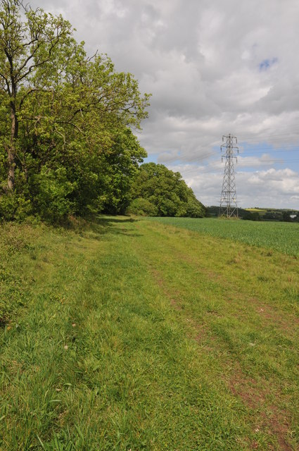
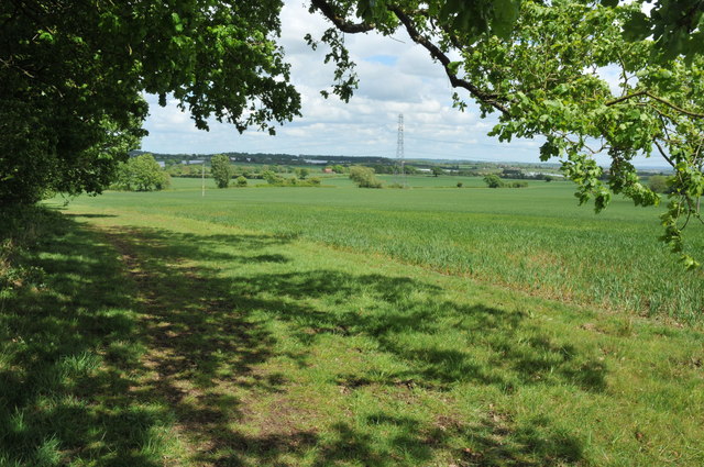
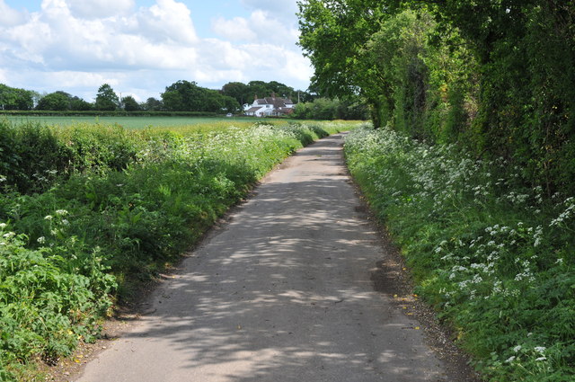
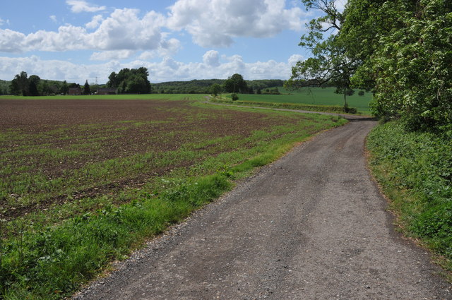
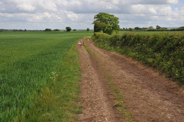
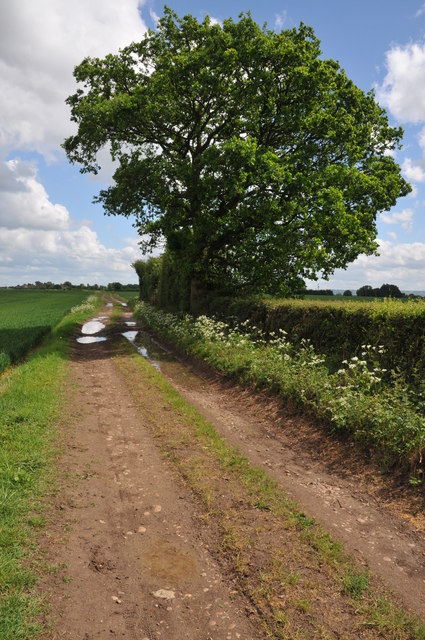
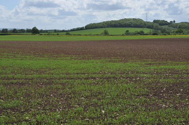
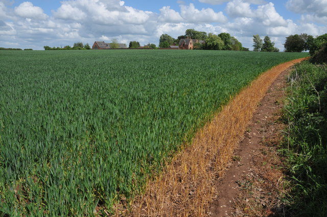
Salford Coppice is a picturesque wood located in Warwickshire, England. Situated in the heart of the county, this ancient forest covers an area of approximately 100 acres and is known for its rich biodiversity and stunning natural beauty.

The coppice is predominantly composed of oak and beech trees, which create a dense canopy that filters sunlight, giving the wood a mystical and enchanting atmosphere. The forest floor is carpeted with a variety of wildflowers, including bluebells, primroses, and wood anemones, providing a vibrant burst of color during the spring months.

The woodland is home to a diverse range of wildlife, making it a popular destination for nature enthusiasts and birdwatchers. Visitors may spot a variety of bird species, such as woodpeckers, owls, and songbirds, as well as mammals like deer, foxes, and badgers. The presence of these creatures adds to the tranquility and natural harmony of the area.

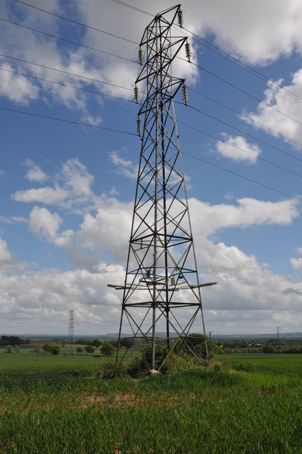
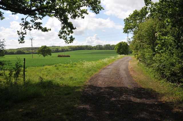
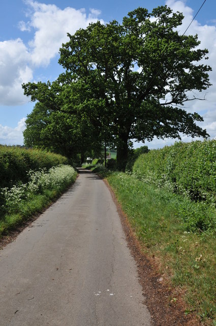
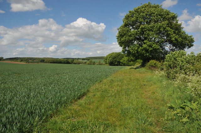
Salford Coppice is crisscrossed by a network of footpaths, allowing visitors to explore and immerse themselves in its natural wonders. These paths offer breathtaking views of the surrounding countryside, making it a great spot for leisurely walks or picnics. The wood is also a haven for photographers, who are drawn to its idyllic landscapes and unique flora and fauna.

The wood has a rich history, with evidence of human activity dating back centuries. It is believed that the forest was once used for timber production and charcoal burning, as evidenced by the presence of ancient charcoal pits. Today, Salford Coppice stands as a testament to the enduring beauty and importance of Warwickshire's natural heritage.

If you have any feedback on the listing, please let us know in the comments section below.

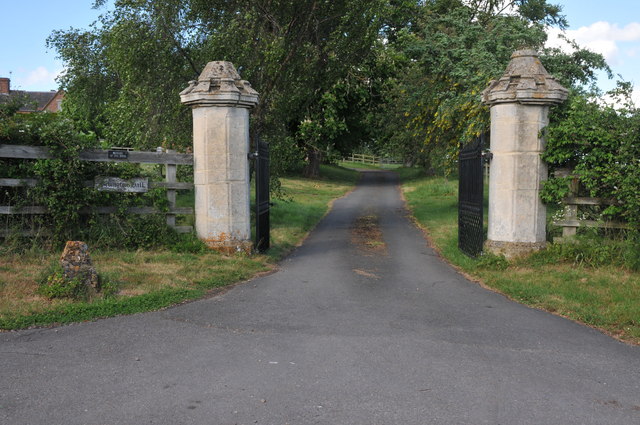
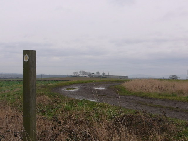
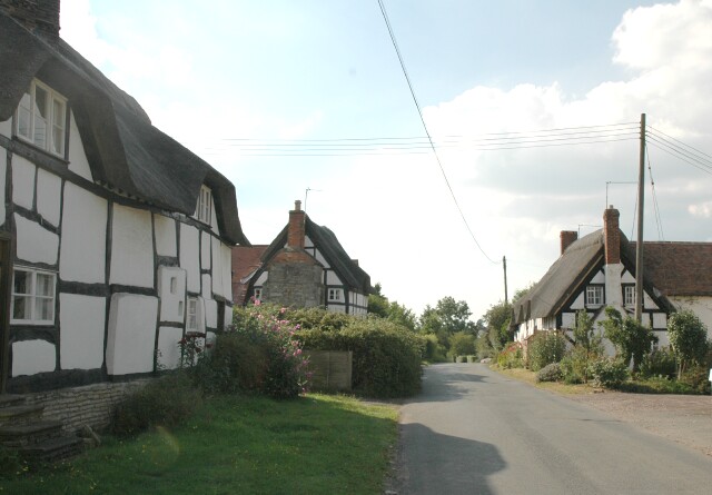
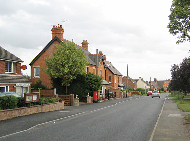
Salford Coppice Images

Images are sourced within 2km of 52.159562/-1.938193 or Grid Reference SP0451. Thanks to Geograph Open Source API. All images are credited.

B4088 Approaching Harvington Village Sign & 30mph Limit
B4088 Harvington Approaching Crossroads
B4088 leaving Harvington
Queens Head Inn, Iron Cross The Queens Head Inn at Iron Cross on the B4088.
Queens Head Inn, Iron Cross
The Queens Head Inn at Iron Cross on the B4088.
On the border This bridleway follows the hedgerow which marks the county boundary between Worcestershire and Warwickshire.
On the border
This bridleway follows the hedgerow which marks the county boundary between Worcestershire and Warwickshire.
Arable land at Bevington Waste Arable land viewed from a bridleway at Bevington Waste.
Arable land at Bevington Waste
Arable land viewed from a bridleway at Bevington Waste.
Pylons at Bevington Waste Pylons carry power cables across farmland at Bevington Waste.
Pylons at Bevington Waste
Pylons carry power cables across farmland at Bevington Waste.
Track at Cock Bevington Track at Cock Bevington giving access to an electricity substation.
Track at Cock Bevington
Track at Cock Bevington giving access to an electricity substation.
Road at Cock Bevington No through road at Cock Bevington.
Road at Cock Bevington
No through road at Cock Bevington.
Road to Rose Cottage Road to Rose Cottage and Whitfield Barn at Cock Bevington.
Road to Rose Cottage
Road to Rose Cottage and Whitfield Barn at Cock Bevington.
Track to Cock Bevington Track and bridleway across arable land to Cock Bevington.
Track to Cock Bevington
Track and bridleway across arable land to Cock Bevington.
Track to Cock Bevington Track and bridleway to Cock Bevington.
Track to Cock Bevington
Track and bridleway to Cock Bevington.
Arable land at Cock Bevington View south over arable land at Cock Bevington towards Salford Coppice.
Arable land at Cock Bevington
View south over arable land at Cock Bevington towards Salford Coppice.
Lane at Cock Bevington Not through road at Cock Bevington.
Lane at Cock Bevington
Not through road at Cock Bevington.
Wheat field near Bevington Hall Wheat field near Bevington Hall at Cock bevington.  A footpath crosses this field diagonally though it appears to have been diverted around the field edge.
Wheat field near Bevington Hall
Wheat field near Bevington Hall at Cock bevington. A footpath crosses this field diagonally though it appears to have been diverted around the field edge.
Footpath to Wood Bevington The footpath from Cock Bevington to Wood Bevington follows the hedgerow.
Footpath to Wood Bevington
The footpath from Cock Bevington to Wood Bevington follows the hedgerow.
Gate pillars, Bevington Hall A pair of gate pillars at the entrance to Bevington Hall at Cock Bevington.
Gate pillars, Bevington Hall
A pair of gate pillars at the entrance to Bevington Hall at Cock Bevington.
Along the track towards Harvington Lodge Track NW/SE between Harvington and Atch Lench.
Along the track towards Harvington Lodge
Track NW/SE between Harvington and Atch Lench.
Show me another place!

Salford Coppice is located at Grid Ref: SP0451 (Lat: 52.159562, Lng: -1.938193)

Administrative County: Warwickshire

District: Stratford-on-Avon

Police Authority: Warwickshire

What 3 Words

///pencil.piled.shatters. Near Harvington, Worcestershire

Nearby Locations

Salford Coppice

Related Wikis

Atch Lench

Atch Lench is a village in Worcestershire, England. == External links == Media related to Atch Lench at Wikimedia Commons Atch Lench in the Domesday Book

Church Lench

Church Lench is a village and former civil parish, now in the parish of South Lenches, in the Wychavon district, in the county of Worcestershire, England...

Harvington

Harvington is a village near Evesham in Worcestershire, England. Bounded by the River Avon to the south and the Lench Hills to the north, three miles northeast...

Ab Lench

Ab Lench is a village and former civil parish, now in the parish of South Lenches, in the Wychavon district, in the county of Worcestershire, England...

Nearby Amenities

Located within 500m of 52.159562,-1.938193
Power: tower
Source: bing
Lat/Long: 52.1598346/-1.9396171
Power: tower
Source: bing
Lat/Long: 52.1576867/-1.9408392
Power: tower
Source: bing
Lat/Long: 52.1567318/-1.9355651
Power: tower
Source: bing
Lat/Long: 52.1582378/-1.9354853
Power: tower
Source: bing
Lat/Long: 52.1597435/-1.9354228
Power: tower
Source: bing
Lat/Long: 52.161231/-1.9353606
Power: tower
Source: bing
Lat/Long: 52.1624178/-1.9364001
Power: pole
Source: bing
Lat/Long: 52.1606397/-1.9444929
Power: pole
Source: bing
Lat/Long: 52.1607639/-1.9433838
Power: pole
Source: bing
Lat/Long: 52.1608906/-1.9422854
Power: pole
Source: bing
Lat/Long: 52.1610123/-1.9409698
Power: pole
Source: bing
Lat/Long: 52.1611687/-1.9397052
Power: pole
Source: bing
Lat/Long: 52.1613135/-1.9383574
Power: pole
Source: bing
Lat/Long: 52.1614936/-1.937605
Power: pole
Source: bing
Lat/Long: 52.1614163/-1.9363631
Power: pole
Source: bing
Lat/Long: 52.1632599/-1.9352138
Power: pole
Source: bing
Lat/Long: 52.1626347/-1.9351897
Power: pole
Source: bing
Lat/Long: 52.1619864/-1.9351628
Power: pole
Source: bing
Lat/Long: 52.1613283/-1.9351172
Power: pole
Source: bing
Lat/Long: 52.160522/-1.9350931
Power: pole
Source: bing
Lat/Long: 52.1598161/-1.9350341
Power: pole
Source: bing
Lat/Long: 52.1589408/-1.9349858
Power: pole
Source: bing
Lat/Long: 52.158253/-1.934967
Power: pole
Source: bing
Lat/Long: 52.157524/-1.9349188
Power: pole
Ref: 778847
Source: wpd_opendata
Transformer: distribution
Lat/Long: 52.1567662/-1.9348584
Power: pole
Source: bing
Lat/Long: 52.1557188/-1.9345996
The data included in this document is from www.openstreetmap.org. The data is made available under ODbL.

Have you been to Salford Coppice?

Leave your review of Salford Coppice below (or comments, questions and feedback).