Cowley's Wood

Wood, Forest in Worcestershire Wychavon

England

Cowley's Wood

Arable land near Abbots Morton View across arable land to the east of Abbots Morton.
Arable land near Abbots Morton Credit: Philip Halling

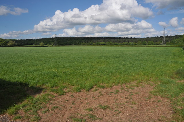
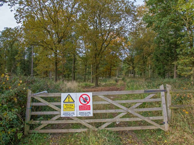
Cowley's Wood is a dense and sprawling forest located in the county of Worcestershire, England. Covering an area of approximately 300 acres, this woodland is a haven for nature enthusiasts and outdoor adventurers alike. The wood is situated near the village of Cowley, which lends its name to this picturesque natural wonder.

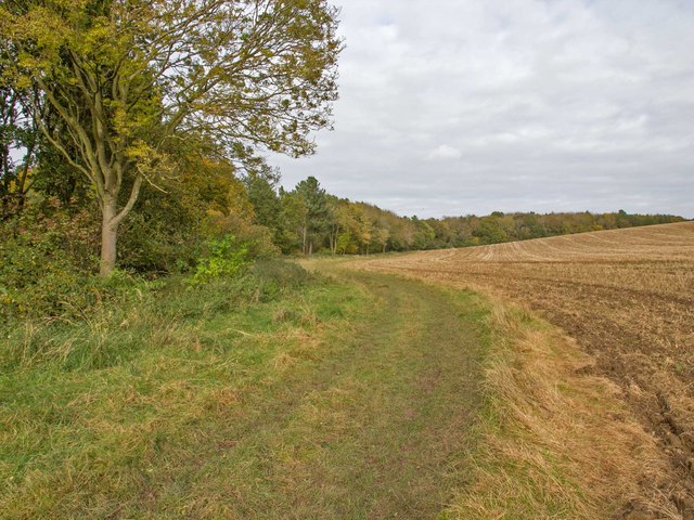
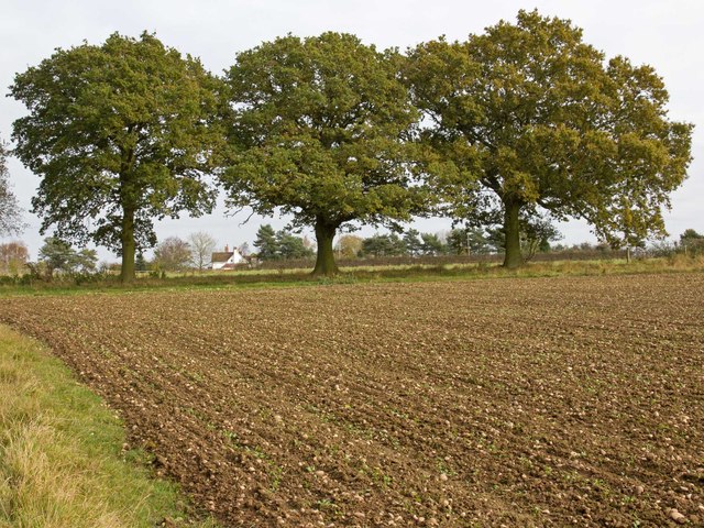
Cowley's Wood is characterized by its diverse ecosystem and rich biodiversity. The forest is primarily composed of deciduous trees such as oak, beech, and birch, which create a vibrant and colorful canopy during the autumn months. This creates a stunning backdrop for leisurely walks and hikes throughout the year.

The wood is crisscrossed by a network of well-maintained footpaths, making it easily accessible to visitors. These paths wind their way through the forest, offering breathtaking views of the surrounding countryside and glimpses of the local wildlife. Birdwatchers will delight in spotting species such as great tits, woodpeckers, and nuthatches, while the lucky observer may even catch a glimpse of a roe deer or fox.

Cowley's Wood is managed by the Worcestershire Wildlife Trust, ensuring the preservation of its natural beauty and the protection of its inhabitants. The trust actively encourages conservation and sustainable practices, making it a great place to learn about the local flora and fauna.

Whether it's a peaceful stroll, an adventurous hike, or simply a desire to reconnect with nature, Cowley's Wood offers an idyllic escape from the hustle and bustle of everyday life. It is a true gem in Worcestershire's natural landscape and a must-visit destination for anyone seeking tranquility and natural beauty.

If you have any feedback on the listing, please let us know in the comments section below.

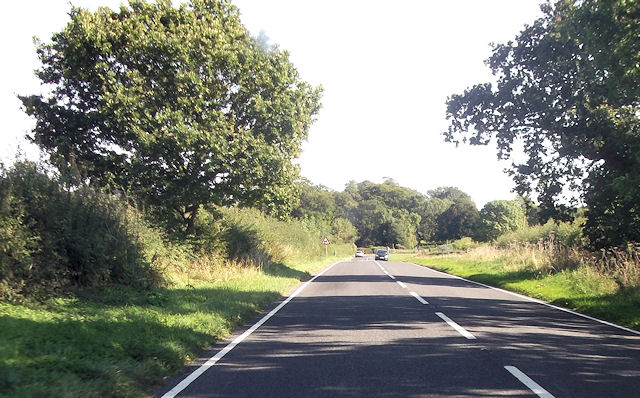
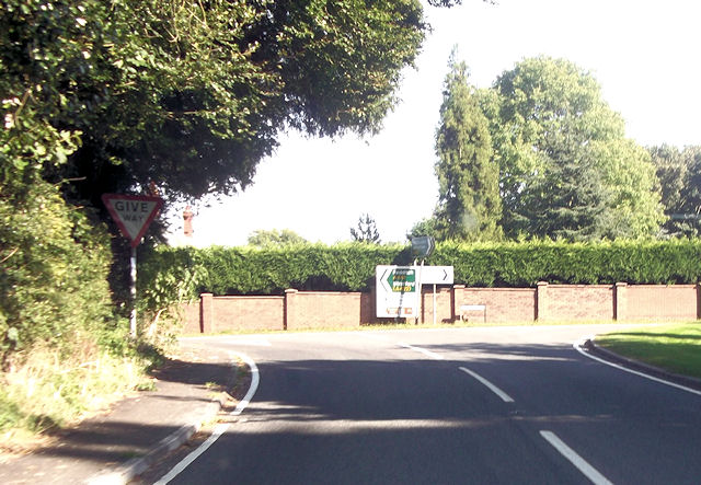
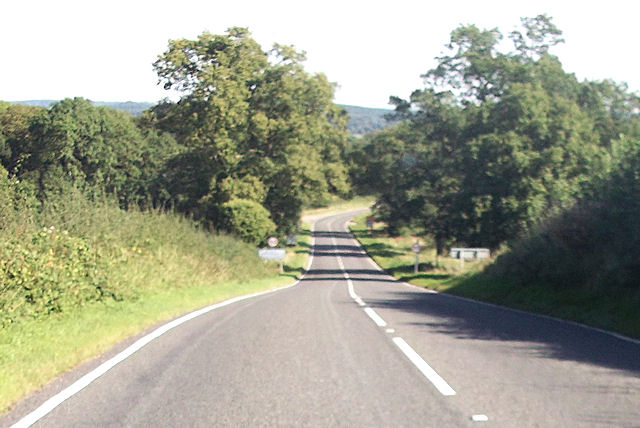
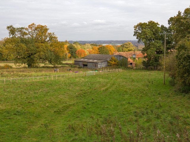
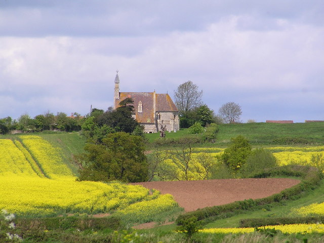
Cowley's Wood Images

Images are sourced within 2km of 52.199588/-1.9391181 or Grid Reference SP0455. Thanks to Geograph Open Source API. All images are credited.

Arable land near Abbots Morton View across arable land to the east of Abbots Morton.
Arable land near Abbots Morton
View across arable land to the east of Abbots Morton.
Abbots Morton church
Abbots Morton church The tower of St Peter's church, Abbots Morton, dates from the 14th century.
Abbots Morton church
The tower of St Peter's church, Abbots Morton, dates from the 14th century.
Interior of Abbots Morton church View along the nave of St Peter's church, Abbots Morton.
Interior of Abbots Morton church
View along the nave of St Peter's church, Abbots Morton.
War Memorial in Abbots Morton church War memorial on the south wall of Abbots Morton church to Philip Raymond Collins who was killed in action in Mesopotamia on January 25, 1917.
War Memorial in Abbots Morton church
War memorial on the south wall of Abbots Morton church to Philip Raymond Collins who was killed in action in Mesopotamia on January 25, 1917.
Footpath by Thornhill Wood The footpath from Old Park Wood and the A422 passes through the middle of Thornhill Farm, and runs alongside Thornhill Wood on its way towards the B4088 and Nunnery Wood.
Footpath by Thornhill Wood
The footpath from Old Park Wood and the A422 passes through the middle of Thornhill Farm, and runs alongside Thornhill Wood on its way towards the B4088 and Nunnery Wood.
Straight road passing The Oaks
Road junction with A441 From A422 eastbound
Road junction with A441
From A422 eastbound
Entering Warwickshire on A422
Track through Weethley Wood View NNW from the footpath that runs round the eastern side of Weethley Wood.
Track through Weethley Wood
View NNW from the footpath that runs round the eastern side of Weethley Wood.
Footpath round Weethley Wood Looking north from the footpath that runs round the eastern side of Weethley Wood.
Footpath round Weethley Wood
Looking north from the footpath that runs round the eastern side of Weethley Wood.
Three oaks by the footpath Looking east from the footpath round Weethley Wood, towards three large oak trees along a field boundary. Through the trees can be seen two semi-detached cottages on the B4088 Evesham Road.
Three oaks by the footpath
Looking east from the footpath round Weethley Wood, towards three large oak trees along a field boundary. Through the trees can be seen two semi-detached cottages on the B4088 Evesham Road.
Footpath to Thornhill Farm To the left is the start of the footpath from the B4088 Evesham Road, towards Thornhill Farm.
To the right are two semi-detached cottages called the unusual names of 1 and 2, The Bunch Of Five.
The road in the foreground is part of a large lay-by that may have been the original course of the road in the past?
Footpath to Thornhill Farm
To the left is the start of the footpath from the B4088 Evesham Road, towards Thornhill Farm. To the right are two semi-detached cottages called the unusual names of 1 and 2, The Bunch Of Five. The road in the foreground is part of a large lay-by that may have been the original course of the road in the past?
Footpath to Thornhill Farm The footpath from the Evesham Road towards Thornhill Farm descends Thorn Hill with Thornhill Wood on the right.
Footpath to Thornhill Farm
The footpath from the Evesham Road towards Thornhill Farm descends Thorn Hill with Thornhill Wood on the right.
Thornhill Wood Looking ESE towards the wood from the footpath to Thornhill Farm.
Thornhill Wood
Looking ESE towards the wood from the footpath to Thornhill Farm.
B4088 near Ridgeway Farm Looking north along the B4088 as it about to leave the grid square.
B4088 near Ridgeway Farm
Looking north along the B4088 as it about to leave the grid square.
Fields near Ridgeway Farm View ENE from B4088 next to Ridgeway Farm, across the fields in the direction of Alcester in the far distance.
Fields near Ridgeway Farm
View ENE from B4088 next to Ridgeway Farm, across the fields in the direction of Alcester in the far distance.
Trig Point on Thornhill Trig point TP6451, flush bracket number S4980. <span class="nowrap"><a title="http://www.trigpointinguk.com/trigs/trig-details.php?t=6451" rel="nofollow ugc noopener" href="http://www.trigpointinguk.com/trigs/trig-details.php?t=6451">Link</a><img style="margin-left:2px;" alt="External link" title="External link - shift click to open in new window" src="https://s1.geograph.org.uk/img/external.png" width="10" height="10"/></span> <span class="nowrap"><a title="http://benchmarks.ordnancesurvey.co.uk/pls/htmldb/f?p=111:13:494455290280393258::NO::P13_HIDDEN:true" rel="nofollow ugc noopener" href="http://benchmarks.ordnancesurvey.co.uk/pls/htmldb/f?p=111:13:494455290280393258::NO::P13_HIDDEN:true">Link</a><img style="margin-left:2px;" alt="External link" title="External link - shift click to open in new window" src="https://s1.geograph.org.uk/img/external.png" width="10" height="10"/></span>
The hedge behind has grown a lot since the previous photo. <a href="https://www.geograph.org.uk/photo/10915">SP0556 : Thornhill</a>.
Trig Point on Thornhill
Trig point TP6451, flush bracket number S4980. LinkExternal link LinkExternal link The hedge behind has grown a lot since the previous photo. SP0556 : Thornhill.
Show me another place!

Cowley's Wood is located at Grid Ref: SP0455 (Lat: 52.199588, Lng: -1.9391181)

Administrative County: Worcestershire

District: Wychavon

Police Authority: West Mercia

What 3 Words

///ushering.savers.ballooned. Near Inkberrow, Worcestershire

Related Wikis

Abbots Morton

Abbots Morton is a village and civil parish in the English county of Worcestershire. It consists of approximately 70 dwellings and 250 people. It retains...

Cookhill Priory

Cookhill Priory was a Cistercian nunnery near Cookhill in Worcestershire, England. == History == The Priory is believed to be founded by Isabel de Mauduit...

Goom's Hill

Goom's Hill is a location near Abbots Morton in Worcestershire, England.

Weethley

Weethley is a village and former civil parish on the B4088 road, now in the parish of Arrow with Weethley, in the Stratford-on-Avon district, in the county...

Nearby Amenities

Located within 500m of 52.199588,-1.9391181
Power: tower
Source: bing
Lat/Long: 52.198085/-1.9400409
Power: tower
Source: bing
Lat/Long: 52.2015021/-1.9403308
The data included in this document is from www.openstreetmap.org. The data is made available under ODbL.

Have you been to Cowley's Wood?

Leave your review of Cowley's Wood below (or comments, questions and feedback).