Bell Beck Wood
Wood, Forest in Yorkshire Richmondshire
England
Bell Beck Wood
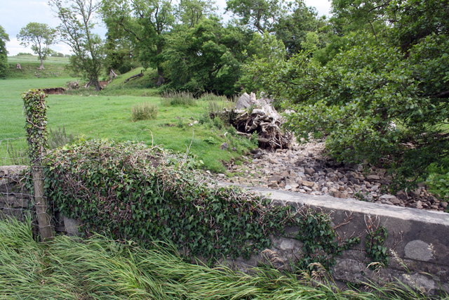
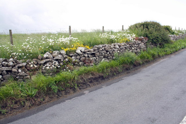
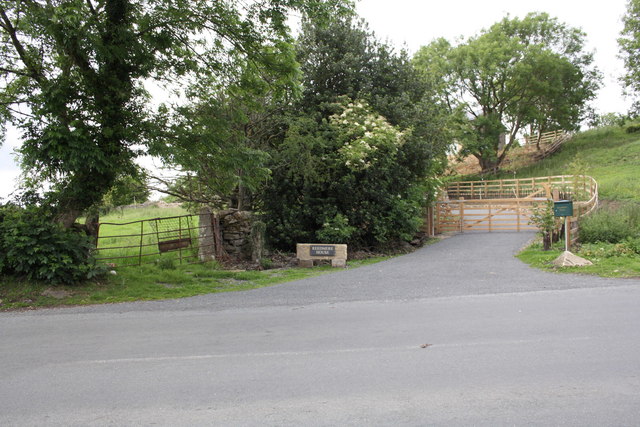
Bell Beck Wood is a picturesque woodland located in the county of Yorkshire, England. Spread across a vast area, this woodland is a hidden gem for nature lovers and hikers alike. Situated near the village of Burton-in-Lonsdale, it offers a tranquil escape from the hustle and bustle of daily life.
The wood is primarily composed of broadleaf trees, with oak, ash, and beech being the dominant species. These towering trees provide a dense canopy, casting dappled sunlight on the forest floor. The woodland is also home to a rich variety of wildlife, including birds such as woodpeckers, owls, and various songbirds. Keen-eyed visitors might even spot deer, foxes, and squirrels scurrying through the undergrowth.
Traversing through Bell Beck Wood, visitors will find a network of well-maintained footpaths, meandering alongside the babbling Bell Beck stream. The gentle sound of flowing water adds to the serene ambiance of the wood. In spring, the forest floor comes alive with a vibrant carpet of bluebells, creating a breathtaking sight.
The woodland is a popular destination for outdoor enthusiasts, offering opportunities for walking, hiking, and even picnicking. The paths cater to all levels of fitness, with shorter trails for casual walkers and longer routes for those seeking a more challenging adventure.
Bell Beck Wood is a true haven for nature enthusiasts, providing a peaceful retreat to connect with the natural world. Whether exploring the diverse flora and fauna or simply enjoying the tranquility of the woodland, visitors are sure to leave with a renewed appreciation for the beauty of Yorkshire's countryside.
If you have any feedback on the listing, please let us know in the comments section below.
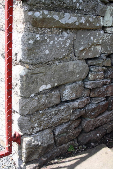
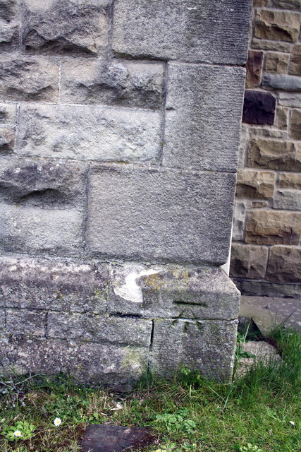
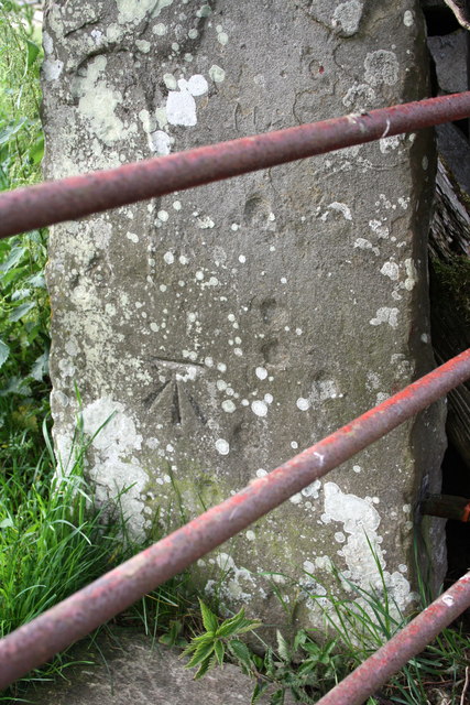
Bell Beck Wood Images
Images are sourced within 2km of 54.323922/-1.9383591 or Grid Reference SE0492. Thanks to Geograph Open Source API. All images are credited.

Bell Beck Wood is located at Grid Ref: SE0492 (Lat: 54.323922, Lng: -1.9383591)
Division: North Riding
Administrative County: North Yorkshire
District: Richmondshire
Police Authority: North Yorkshire
What 3 Words
///honeybees.lobster.fictional. Near Leyburn, North Yorkshire
Nearby Locations
Related Wikis

Castle Bolton
Castle Bolton is a village in North Yorkshire, England. It is in Wensleydale, one of the Yorkshire Dales. The village takes its name from Bolton Castle...

Bolton Castle
Bolton Castle is a 14th-century castle located in Wensleydale, Yorkshire, England (grid reference SE03379183). The nearby village of Castle Bolton takes...
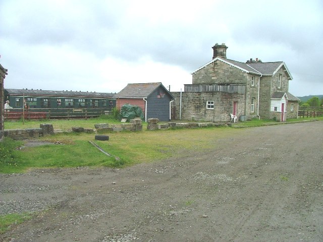
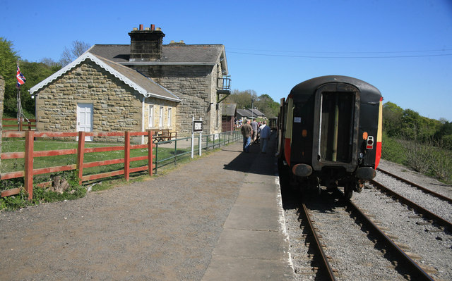
Redmire railway station
Redmire railway station is the current western terminus of the Wensleydale Railway and serves the village of Redmire in North Yorkshire, England. It is...

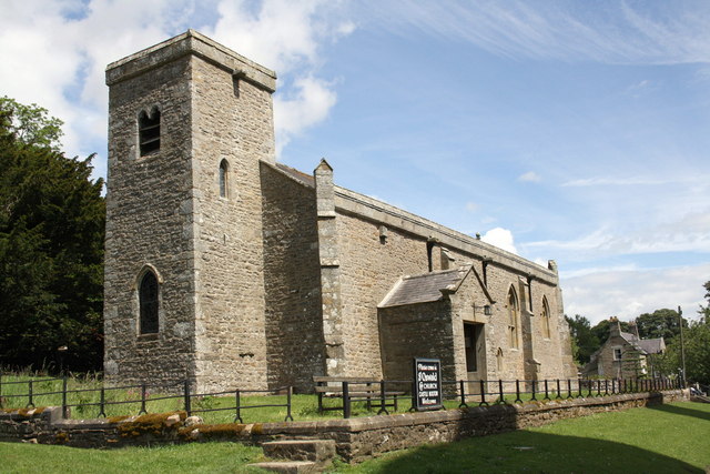
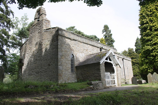
St Oswald's Church, Castle Bolton
St Oswald's Church, Castle Bolton is a Grade II* listed parish church in the Church of England: 106 located in Castle Bolton, North Yorkshire. == History... ==
Nearby Amenities
Located within 500m of 54.323922,-1.9383591Have you been to Bell Beck Wood?
Leave your review of Bell Beck Wood below (or comments, questions and feedback).