Clayhill Plantation

Wood, Forest in Gloucestershire Cotswold

England

Clayhill Plantation

A436 near Shipton Golf Course
A436 near Shipton Golf Course Credit: Colin Pyle

Clayhill Plantation is a scenic woodland retreat located in Gloucestershire, England. Situated in the heart of the Forest of Dean, this sprawling estate covers an area of approximately 500 acres and is renowned for its natural beauty and diverse flora and fauna.

The plantation is predominantly composed of ancient oak and beech trees, which provide a majestic canopy that stretches across the landscape. This lush woodland setting offers a tranquil and idyllic escape for nature lovers and outdoor enthusiasts alike.

Within the grounds of Clayhill Plantation, visitors can explore a network of well-maintained walking trails, which wind their way through the woodland. These trails offer breathtaking views of the surrounding countryside and provide an opportunity to encounter a wide variety of wildlife, including deer, badgers, and numerous bird species.

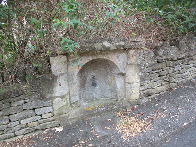
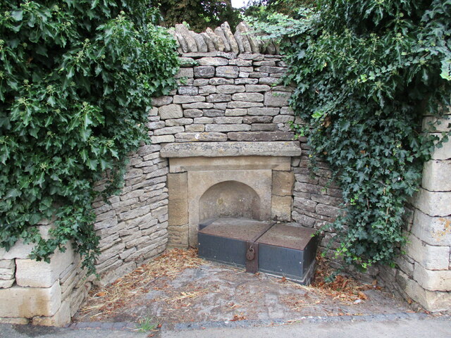
In addition to its natural splendor, Clayhill Plantation also boasts a rich historical heritage. The site was once home to a thriving iron industry during the 18th and 19th centuries and remnants of this industrial past can still be found scattered throughout the estate.

Today, Clayhill Plantation serves as a popular destination for outdoor activities such as hiking, birdwatching, and picnicking. The estate also offers camping facilities and hosts educational programs and events, making it an ideal location for families, school groups, and nature enthusiasts seeking to immerse themselves in the beauty of the Forest of Dean.

If you have any feedback on the listing, please let us know in the comments section below.

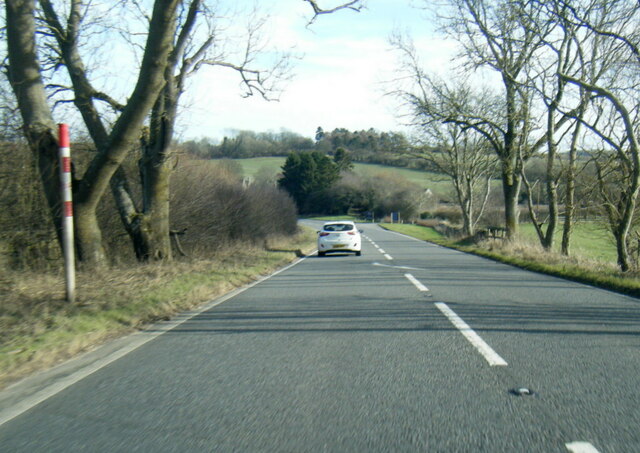
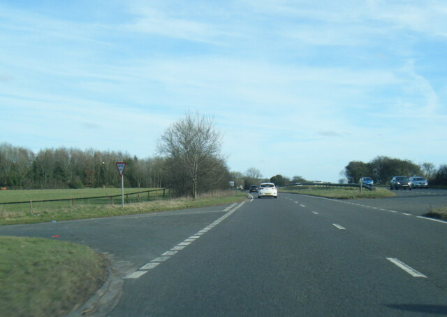
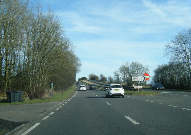
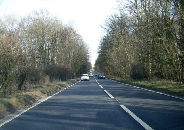
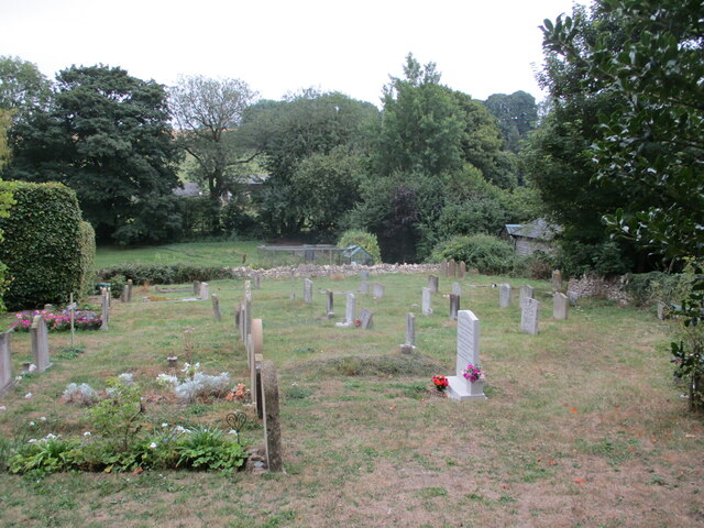
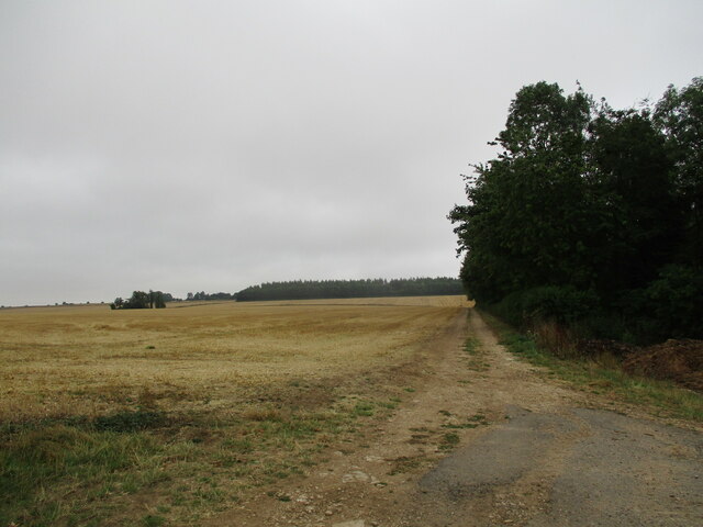
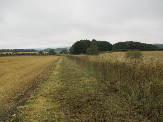
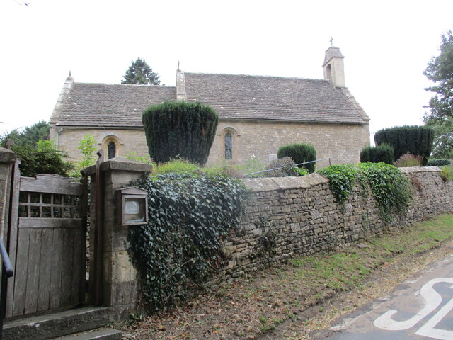
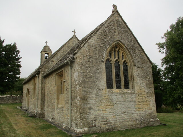
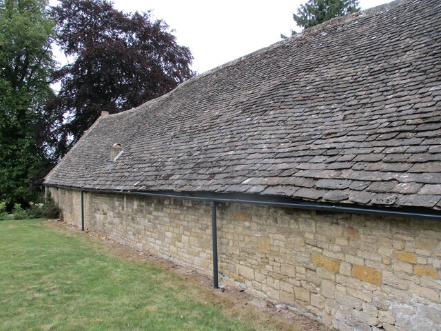
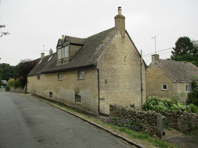
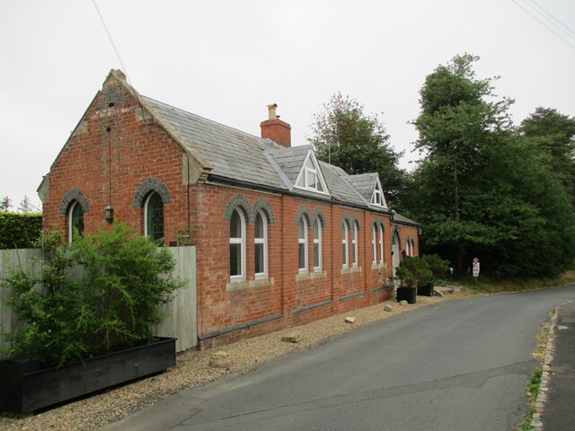
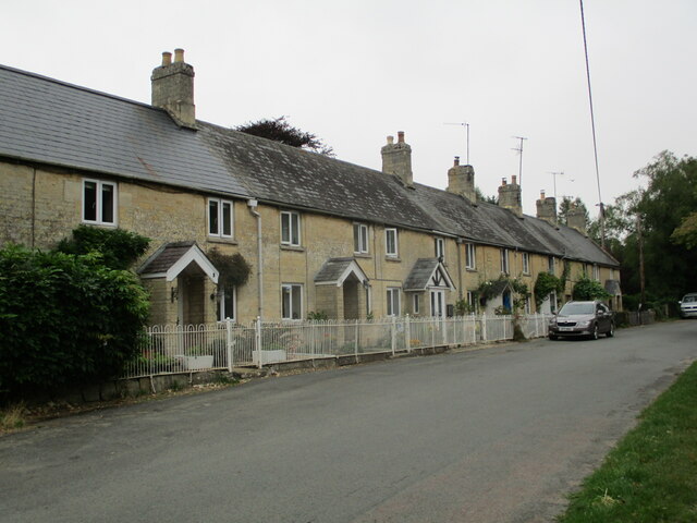
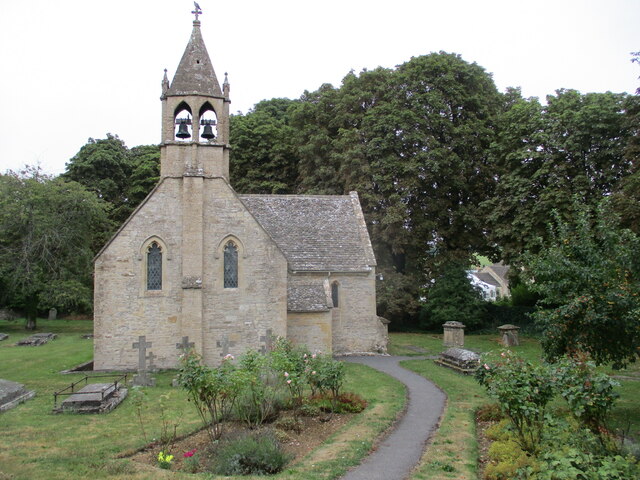
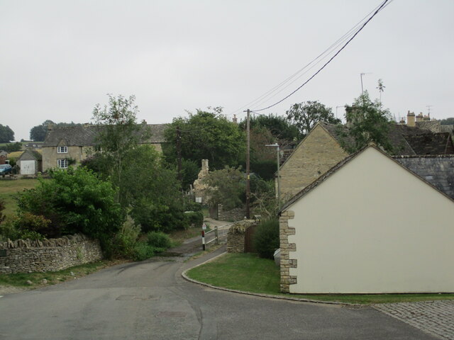
Clayhill Plantation Images

Images are sourced within 2km of 51.855634/-1.9420496 or Grid Reference SP0417. Thanks to Geograph Open Source API. All images are credited.

A436 near Shipton Golf Course
A40 at Kilham Lane turn
A40 at Shipton Gorse
A40 near Codrington Plantation
Cemetery, Shipton
Cemetery, Shipton
Farm track alongside a plantation, Shipton Oliffe
Stubble field near Shipton Oliffe
St Mary's church, Shipton Solers Thirteenth century church with later alterations <span class="nowrap"><a title="https://historicengland.org.uk/listing/the-list/list-entry/1341358?section=official-list-entry" rel="nofollow ugc noopener" href="https://historicengland.org.uk/listing/the-list/list-entry/1341358?section=official-list-entry">Link</a><img style="margin-left:2px;" alt="External link" title="External link - shift click to open in new window" src="https://s1.geograph.org.uk/img/external.png" width="10" height="10"/></span>
St Mary's church, Shipton Solers
Thirteenth century church with later alterations LinkExternal link
Barn at Shipton Solers Manor Probably dates from the sixteenth century <span class="nowrap"><a title="https://historicengland.org.uk/listing/the-list/list-entry/1341359?section=official-list-entry" rel="nofollow ugc noopener" href="https://historicengland.org.uk/listing/the-list/list-entry/1341359?section=official-list-entry">Link</a><img style="margin-left:2px;" alt="External link" title="External link - shift click to open in new window" src="https://s1.geograph.org.uk/img/external.png" width="10" height="10"/></span>
Barn at Shipton Solers Manor
Probably dates from the sixteenth century LinkExternal link
Houses at Shipton Oliffe
Former Methodist chapel, Shipton Oliffe Now a house.
Former Methodist chapel, Shipton Oliffe
Now a house.
Church Row, Shipton Oliffe
St Oswald's church, Shipton Oliffe Twelfth and thirteenth century church <span class="nowrap"><a title="https://historicengland.org.uk/listing/the-list/list-entry/1341338?section=official-list-entry" rel="nofollow ugc noopener" href="https://historicengland.org.uk/listing/the-list/list-entry/1341338?section=official-list-entry">Link</a><img style="margin-left:2px;" alt="External link" title="External link - shift click to open in new window" src="https://s1.geograph.org.uk/img/external.png" width="10" height="10"/></span>
St Oswald's church, Shipton Oliffe
Twelfth and thirteenth century church LinkExternal link
Monuments in the churchyard, Shipton Oliffe The one closest to the church is to George and Elizabeth Fletcher. The one closest to the camera is to Thomas and Mary Church and Thomas Freeman. Both are listed <span class="nowrap"><a title="https://historicengland.org.uk/listing/the-list/list-entry/1155681?section=official-list-entry" rel="nofollow ugc noopener" href="https://historicengland.org.uk/listing/the-list/list-entry/1155681?section=official-list-entry">Link</a><img style="margin-left:2px;" alt="External link" title="External link - shift click to open in new window" src="https://s1.geograph.org.uk/img/external.png" width="10" height="10"/></span>
Monuments in the churchyard, Shipton Oliffe
The one closest to the church is to George and Elizabeth Fletcher. The one closest to the camera is to Thomas and Mary Church and Thomas Freeman. Both are listed LinkExternal link
View towards the ford, Shipton Oliffe
Water source, Shipton Oliffe One of two in the centre of the village.
Water source, Shipton Oliffe
One of two in the centre of the village.
Water source, Shipton Oliffe One of two in the centre of the village.
Water source, Shipton Oliffe
One of two in the centre of the village.
Show me another place!

Clayhill Plantation is located at Grid Ref: SP0417 (Lat: 51.855634, Lng: -1.9420496)

Administrative County: Gloucestershire

District: Cotswold

Police Authority: Gloucestershire

What 3 Words

///cleanest.relished.tolerable. Near Westfield, Gloucestershire

Related Wikis

Church of St Oswald, Shipton Oliffe

The Anglican Church of St Oswald at Shipton Oliffe in Shipton in the Cotswold District of Gloucestershire, England was built in the 12th century. It is...

Shipton, Gloucestershire

The twin villages of Shipton Oliffe and Shipton Solars are situated just 7 miles (11 km) from Cheltenham. The River Coln, just a small stream at this point...

St Mary's Church, Shipton Solars

St Mary's Church is a redundant Anglican church in the village of Shipton Sollars, Gloucestershire, England under the care of The Churches Conservation...

Withington railway station (Gloucestershire)

Withington railway station was on the Midland and South Western Junction Railway serving the village of Withington in Gloucestershire. The station opened...

Have you been to Clayhill Plantation?

Leave your review of Clayhill Plantation below (or comments, questions and feedback).