Lord's Coppice

Wood, Forest in Staffordshire Staffordshire Moorlands

England

Lord's Coppice

Old Milestone, Threapwood Head Cast iron post by the B5032, in parish of ALTON (STAFFORDSHIRE MOORLANDS District), by hedge, on North side of road. Cochrane iron casting, erected by the County Council in the 20th century.

Inscription reads:-
: ALTON 2½ / DENSTONE 4½ / ELLASTONE 6¼ / ASHBOURNE 11 : : ALTON / PARISH : : CHEADLE 2 :
Maker:- Cochrane & Co, Dudley. :

Milestone Society National ID: ST_ABCD11
Old Milestone, Threapwood Head Credit: Ivan Clare

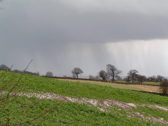
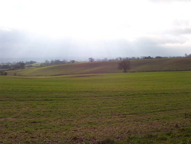
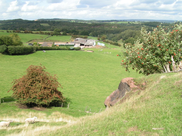
Lord's Coppice is a picturesque woodland located in the county of Staffordshire, England. Situated near the village of Alrewas, it covers an area of approximately 50 hectares and is known for its lush greenery and diverse range of flora and fauna.

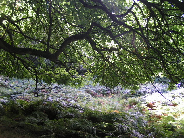
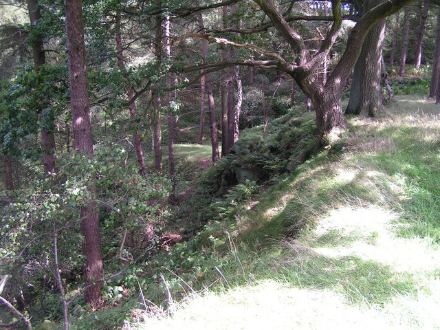
The woodland is primarily composed of deciduous trees, including oak, birch, and beech, which contribute to the vibrant colors that can be seen throughout the year. In spring, the forest floor is carpeted with bluebells, creating a stunning display of color and fragrance. The canopy of trees provides a sheltered habitat for a variety of bird species, such as woodpeckers, thrushes, and owls.

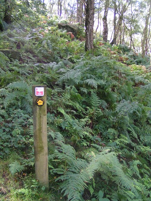
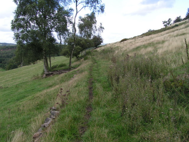
Lord's Coppice offers several walking trails that wind through the woodland, allowing visitors to immerse themselves in the tranquil surroundings. These pathways are well-maintained and suitable for all fitness levels, making it an ideal destination for nature lovers, families, and avid walkers.

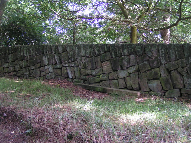
In addition to its natural beauty, Lord's Coppice also has historical significance. The woodland has been managed for centuries and was once part of an estate owned by a local lord. The coppicing technique, where trees are periodically cut back to encourage new growth, has been practiced here for generations, contributing to the diverse ecosystem found within the woodland.

Overall, Lord's Coppice is a captivating woodland that offers visitors the opportunity to reconnect with nature, explore its rich biodiversity, and enjoy the peace and tranquility it provides.

If you have any feedback on the listing, please let us know in the comments section below.

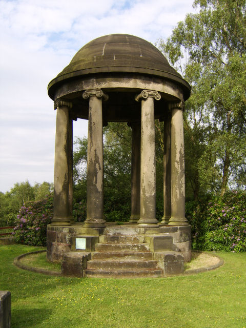
Lord's Coppice Images

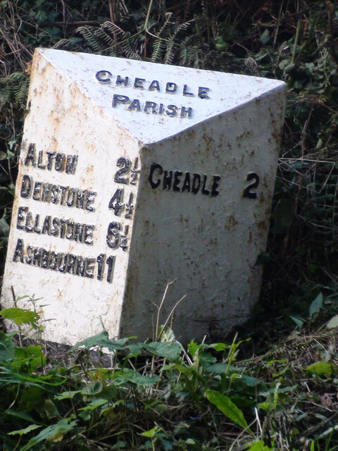
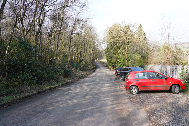
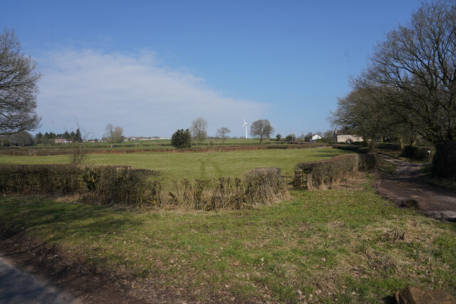
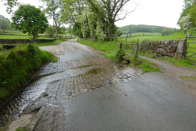
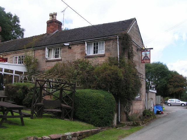
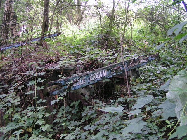
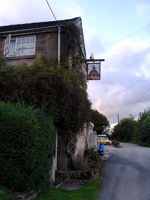
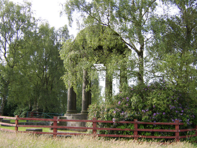
Images are sourced within 2km of 52.963776/-1.941062 or Grid Reference SK0440. Thanks to Geograph Open Source API. All images are credited.

Old Milestone, Threapwood Head Cast iron post by the B5032, in parish of ALTON (STAFFORDSHIRE MOORLANDS District), by hedge, on North side of road. Cochrane iron casting, erected by the County Council in the 20th century.

Inscription reads:-
: ALTON 2½ / DENSTONE 4½ / ELLASTONE 6¼ / ASHBOURNE 11 : : ALTON / PARISH : : CHEADLE 2 :
Maker:- Cochrane & Co, Dudley. :

Milestone Society National ID: ST_ABCD11
Old Milestone, Threapwood Head
Cast iron post by the B5032, in parish of ALTON (STAFFORDSHIRE MOORLANDS District), by hedge, on North side of road. Cochrane iron casting, erected by the County Council in the 20th century. Inscription reads:- : ALTON 2½ / DENSTONE 4½ / ELLASTONE 6¼ / ASHBOURNE 11 : : ALTON / PARISH : : CHEADLE 2 : Maker:- Cochrane & Co, Dudley. : Milestone Society National ID: ST_ABCD11
A country lane With several cars parked the lane is quite wide at this point.
A country lane
With several cars parked the lane is quite wide at this point.
Near Winnoth Dale Gently rising land near the dale.
Near Winnoth Dale
Gently rising land near the dale.
Great Gate Ford Ford on a minor country road at Great Gate.
Great Gate Ford
Ford on a minor country road at Great Gate.
Stormy afternoon near Hollington
Sun through the clouds Sun breaks through the cloud onto rolling farmland.  Looking towards Checkley from Hollington-Upper Tean road.
Sun through the clouds
Sun breaks through the cloud onto rolling farmland. Looking towards Checkley from Hollington-Upper Tean road.
Underneath the spreading chestnut tree One of a grove of sweet chestnut trees in Broadmoor Wood; this one is right on the hairpin bend between Great Gate and Hollington.
Underneath the spreading chestnut tree
One of a grove of sweet chestnut trees in Broadmoor Wood; this one is right on the hairpin bend between Great Gate and Hollington.
In Broadmoor Wood Well-named: I felt ready for Broadmoor after blundering about in bouldery bracken trying to find the footpath to Lodgedale. I was reassured to find this sign indicating that (despite appearances) I was still in the right place. The path is fairly well signposted, but obviously not well used. I got utterly lost in the same wood a bit later, near the Raddle Inn in Hollington.
In Broadmoor Wood
Well-named: I felt ready for Broadmoor after blundering about in bouldery bracken trying to find the footpath to Lodgedale. I was reassured to find this sign indicating that (despite appearances) I was still in the right place. The path is fairly well signposted, but obviously not well used. I got utterly lost in the same wood a bit later, near the Raddle Inn in Hollington.
Lodgedale Looking towards Lodgedale Farm from a rock outcrop close to the Hollington road.
Lodgedale
Looking towards Lodgedale Farm from a rock outcrop close to the Hollington road.
Quarrymen's track, Lodgedale A well-made track (now a little-used footpath - the worn strip was made by sheep, not people) along the eastern slope of Lodgedale.
Quarrymen's track, Lodgedale
A well-made track (now a little-used footpath - the worn strip was made by sheep, not people) along the eastern slope of Lodgedale.
Old quarry, Hollington Disused, now wooded, stone quarries north of the road through Hollington.
Old quarry, Hollington
Disused, now wooded, stone quarries north of the road through Hollington.
Dry-stone walling, Staffordshire style This tendency to lay courses of stones at a shallow diagonal seems to be a local tradition, as I saw several walls in the area with a similar style. Earlier in my walk I said good morning to someone dry-stone-walling as I passed by, but he appeared to be laying his courses conventionally (i.e. horizontally).
Dry-stone walling, Staffordshire style
This tendency to lay courses of stones at a shallow diagonal seems to be a local tradition, as I saw several walls in the area with a similar style. Earlier in my walk I said good morning to someone dry-stone-walling as I passed by, but he appeared to be laying his courses conventionally (i.e. horizontally).
The Raddle Inn Glad to get here for a much-needed drink after getting fairly comprehensively (though briefly) lost in Broadmoor Wood. See <span class="nowrap"><a title="http://www.logcabin.co.uk" rel="nofollow ugc noopener" href="http://www.logcabin.co.uk">Link</a><img style="margin-left:2px;" alt="External link" title="External link - shift click to open in new window" src="https://s1.geograph.org.uk/img/external.png" width="10" height="10"/></span>
The Raddle Inn
Glad to get here for a much-needed drink after getting fairly comprehensively (though briefly) lost in Broadmoor Wood. See LinkExternal link
Old dairyman's cart Slowly being reclaimed by nature by the footpath just northwest of the Raddle Inn.
Old dairyman's cart
Slowly being reclaimed by nature by the footpath just northwest of the Raddle Inn.
The Raddle Inn The Raddle Inn on Quarry Bank near Hollington. There is a sandstone quarry nearby which I presume the road is named after.
The Raddle Inn
The Raddle Inn on Quarry Bank near Hollington. There is a sandstone quarry nearby which I presume the road is named after.
Temple near Tean The Temple at Temple Wood Farm near Upper Tean, Staffordshire
Temple near Tean
The Temple at Temple Wood Farm near Upper Tean, Staffordshire
Temple near Tean The Temple at Temple Wood Farm near Upper Tean, Staffordshire
Temple near Tean
The Temple at Temple Wood Farm near Upper Tean, Staffordshire
Temple near Tean Detail of the plaque on the Temple at Temple Wood Farm near Upper Tean, Staffordshire
Temple near Tean
Detail of the plaque on the Temple at Temple Wood Farm near Upper Tean, Staffordshire
Show me another place!

Lord's Coppice is located at Grid Ref: SK0440 (Lat: 52.963776, Lng: -1.941062)

Administrative County: Staffordshire

District: Staffordshire Moorlands

Police Authority: Staffordshire

What 3 Words

///plunge.dinner.fingertip. Near Cheadle, Staffordshire

Related Wikis

Bradley in the Moors

Bradley in the Moors is a village and former civil parish, now in the parish of Alton, in the Staffordshire Moorlands district, in the county of Staffordshire...

Freehay

Freehay is a small village located 2 miles from the centre of Cheadle in Staffordshire, England. The village centre is at the main Freehay Bank (or Church...

Hollington, Staffordshire

Hollington is a village in the Staffordshire Moorlands in English county of Staffordshire. There are several villages of this same name, and there is a...

Checkley

Checkley is a village and civil parish in the district of Staffordshire Moorlands in the English county of Staffordshire. == Location == The village is...

Nearby Amenities

Located within 500m of 52.963776,-1.941062
The data included in this document is from www.openstreetmap.org. The data is made available under ODbL.

Have you been to Lord's Coppice?

Leave your review of Lord's Coppice below (or comments, questions and feedback).