Brand Plantation

Wood, Forest in Staffordshire Staffordshire Moorlands

England

Brand Plantation

View from the Longnor Road To "The Knights Table" inn - by the A53 Buxton/Leek road.
View from the Longnor Road Credit: Neil Theasby

Brand Plantation is a picturesque woodland located in Staffordshire, England. Covering a vast area of land, this woodland is known for its dense and diverse collection of trees, making it a popular destination for nature enthusiasts and hikers alike.

As visitors enter the plantation, they are greeted by a canopy of towering oak, beech, and ash trees, creating a serene and peaceful atmosphere. The woodland floor is blanketed with a rich carpet of moss and ferns, adding to the enchanting ambiance of the plantation.

The Brand Plantation is not only visually stunning but also serves as an important habitat for a variety of wildlife. Squirrels can be seen darting from tree to tree, while birds such as woodpeckers and song thrushes fill the air with their melodic tunes. The woodland is also home to a diverse range of flora, including bluebells, primroses, and wild garlic, which coat the forest floor with vibrant colors during the spring months.

The plantation offers a network of well-maintained walking trails, allowing visitors to explore the woodland at their own pace. These paths wind through the towering trees, providing breathtaking views of the surrounding countryside. The plantation is also equipped with picnic areas and benches, providing the perfect opportunity for visitors to relax and enjoy the peaceful surroundings.

Overall, Brand Plantation is a true gem in the Staffordshire countryside. Its stunning beauty, diverse wildlife, and tranquil atmosphere make it an ideal destination for nature lovers and those seeking a peaceful escape from the hustle and bustle of everyday life.

If you have any feedback on the listing, please let us know in the comments section below.

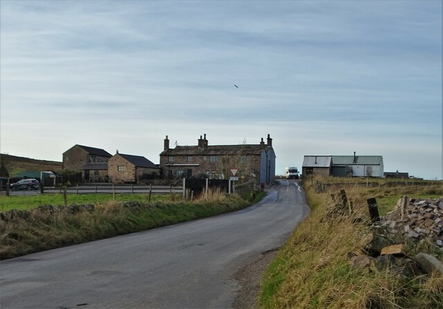
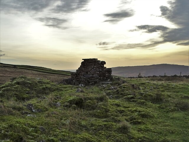
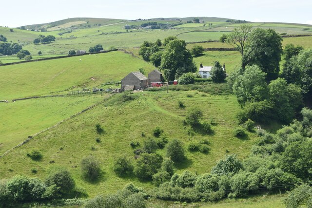
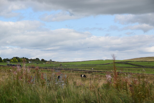
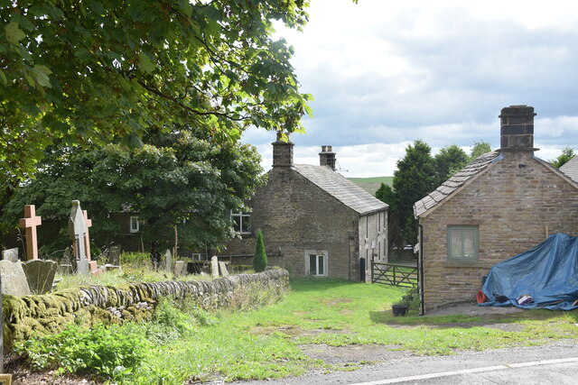
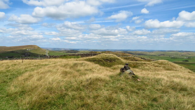
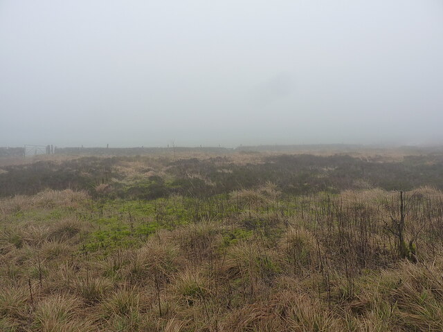
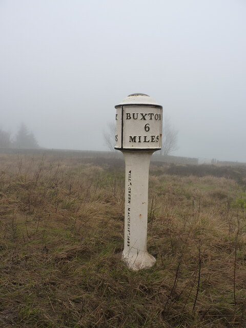
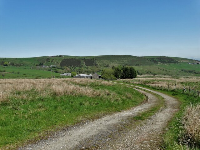
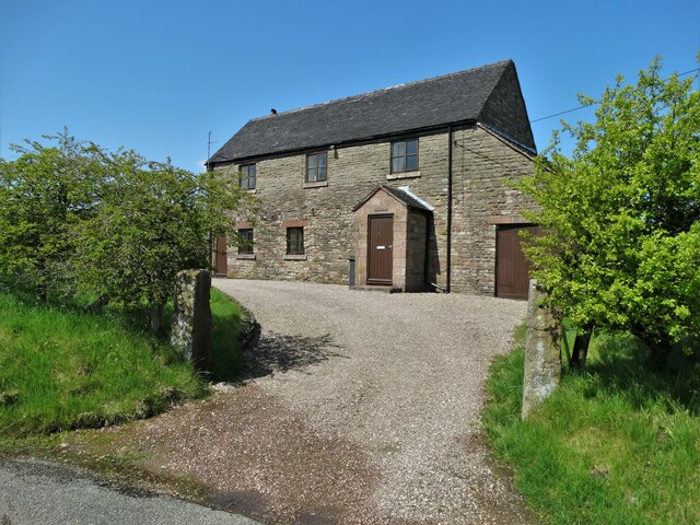
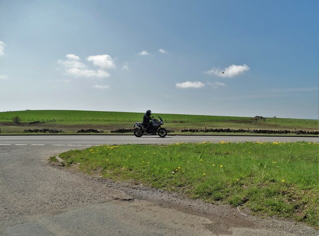
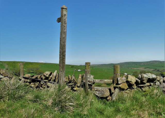
Brand Plantation Images

Images are sourced within 2km of 53.196646/-1.9408194 or Grid Reference SK0466. Thanks to Geograph Open Source API. All images are credited.

View from the Longnor Road To "The Knights Table" inn - by the A53 Buxton/Leek road.
View from the Longnor Road
To "The Knights Table" inn - by the A53 Buxton/Leek road.
St Paul's Church, Flash In the parish of Quarnford, the construction of St Paul's Church began in 1743.
St Paul's Church, Flash
In the parish of Quarnford, the construction of St Paul's Church began in 1743.
Elderberry Cottage near Flash
November View Weather-beaten signpost above the village of Flash, looking out over the Staffordshire moors towards Cheshire.
November View
Weather-beaten signpost above the village of Flash, looking out over the Staffordshire moors towards Cheshire.
Lonely ruin on Oliver Hill Long ago someone might have lived here but more likely it was a sheep barn.
Lonely ruin on Oliver Hill
Long ago someone might have lived here but more likely it was a sheep barn.
Sign on "The New Inn" in Flash Shame about the missing apostrophe and the unnecessary capital "V". Perhaps it was the altitude's fault.
Sign on "The New Inn" in Flash
Shame about the missing apostrophe and the unnecessary capital "V". Perhaps it was the altitude's fault.
Cross-valley view towards Leycote
View across fields from New Road A short distance south of Northfield Farm in the village of Flash.
View across fields from New Road
A short distance south of Northfield Farm in the village of Flash.
Northfield Farm, Flash The farmhouse is in the centre ahead in the shot, with the western end of the churchyard on the left and Northfield Cottage on the right. Taken from the junction of Brown Lane and New Road in the centre of the village.
Northfield Farm, Flash
The farmhouse is in the centre ahead in the shot, with the western end of the churchyard on the left and Northfield Cottage on the right. Taken from the junction of Brown Lane and New Road in the centre of the village.
Oliver Hill summit
Oliver Hill summit
A bleak morning at Morridge Top Driving along the road that particular morning wasn't much more attractive than this view - pretty much wall-to-wall cloud.
A bleak morning at Morridge Top
Driving along the road that particular morning wasn't much more attractive than this view - pretty much wall-to-wall cloud.
Morridge Top (Heathylee) milepost Dating originally from the late 19th century, and Grade II listed <span class="nowrap"><a title="https://britishlistedbuildings.co.uk/101190449-milepost-leek-6-miles-heathylee#.Y9bXlXbP3IU" rel="nofollow ugc noopener" href="https://britishlistedbuildings.co.uk/101190449-milepost-leek-6-miles-heathylee#.Y9bXlXbP3IU">Link</a><img style="margin-left:2px;" alt="External link" title="External link - shift click to open in new window" src="https://s1.geograph.org.uk/img/external.png" width="10" height="10"/></span> & <span class="nowrap"><a title="https://historicengland.org.uk/listing/the-list/list-entry/1190449" rel="nofollow ugc noopener" href="https://historicengland.org.uk/listing/the-list/list-entry/1190449">Link</a><img style="margin-left:2px;" alt="External link" title="External link - shift click to open in new window" src="https://s1.geograph.org.uk/img/external.png" width="10" height="10"/></span> in 1985. It went 'walkabout' sometime after that (stolen, basically...) before being rediscovered for sale on an internet auction site and was restored to its rightful location in mid 2017 <a href="https://www.geograph.org.uk/photo/5436708">SK0365 : Old Milepost by the A53, Morridge Top</a>
Morridge Top (Heathylee) milepost
Dating originally from the late 19th century, and Grade II listed LinkExternal link & LinkExternal link in 1985. It went 'walkabout' sometime after that (stolen, basically...) before being rediscovered for sale on an internet auction site and was restored to its rightful location in mid 2017 SK0365 : Old Milepost by the A53, Morridge Top
Chrome Hill from Hollinsclough Rake
The track to Smallshaw Farm
"The Barn" - house by Wickenlow Lane Once a field barn but converted to a house in 1984.
"The Barn" - house by Wickenlow Lane
Once a field barn but converted to a house in 1984.
Wickenlow Lane, passing Brand Plantation
Biker on the A53 Buxton-Leek road
Footpath to Sycamore Bank Farm
Show me another place!

Brand Plantation is located at Grid Ref: SK0466 (Lat: 53.196646, Lng: -1.9408194)

Administrative County: Staffordshire

District: Staffordshire Moorlands

Police Authority: Staffordshire

What 3 Words

///pops.classic.stylists. Near Buxton, Derbyshire

Nearby Locations

Brand Plantation

Related Wikis

Flash, Staffordshire

Flash is a village in the Staffordshire Moorlands, England, and Peak District National Park. At 1,519 feet (463 m) above sea level, it is the highest village...

Quarnford

Quarnford is a village and civil parish in the Staffordshire Moorlands district of Staffordshire, England. According to the 2001 census it had a population...

Oliver Hill (Peak District)

Oliver Hill is a hill, 513 metres (1,683 ft) high, in the Peak District in the county of Staffordshire in England. It is a treeless summit surrounded by...

Hollins Hill

Hollins Hill is a gritstone hill in the Derbyshire Peak District near the village of Hollinsclough. The summit is 450 metres (1,480 ft) above sea level...

Nearby Amenities

Located within 500m of 53.196646,-1.9408194
Barrier: cattle_grid
Bicycle: yes
Foot: yes
Motorcar: yes
Motorcycle: yes
Lat/Long: 53.1946277/-1.9360237
Barrier: stile
Material: wood
Source: survey;bing
Stile: ladder
Lat/Long: 53.1984055/-1.9366894
Fixme: longer than this
Lat/Long: 53.1984168/-1.9366011
Barrier: stile
Material: stone
Source: survey;gps
Stile: squeezer
Lat/Long: 53.1988788/-1.9389856
Barrier: entrance
Source: survey;gps
Lat/Long: 53.1975819/-1.947071
Ford: yes
Lat/Long: 53.198102/-1.936685
Fixme: according to OS and Stafforshire Council Map there should be a PROW here but there is not stile in this fence. The line of the prow SE of here where it should join the other prows is also unclear and probably obstructed.
Lat/Long: 53.1949997/-1.9430652
The data included in this document is from www.openstreetmap.org. The data is made available under ODbL.

Have you been to Brand Plantation?

Leave your review of Brand Plantation below (or comments, questions and feedback).