Chicken Grove
Wood, Forest in Wiltshire
England
Chicken Grove
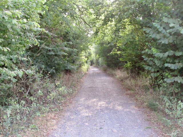
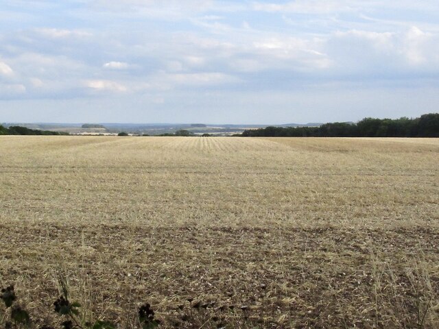
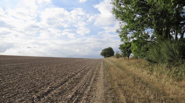
Chicken Grove is a small wooded area located in the county of Wiltshire, England. Situated in the southern part of the county, Chicken Grove is known for its scenic beauty and tranquil surroundings. The grove is nestled within the larger expanse of the Wiltshire Wood, creating a haven for nature enthusiasts and outdoor lovers.
Covering an area of approximately 10 acres, Chicken Grove is predominantly made up of a variety of deciduous trees, including oak, ash, and beech. These trees provide a lush canopy, offering shade and shelter to a diverse range of wildlife that calls the grove home. The forest floor is rich with ferns, wildflowers, and mosses, creating a vibrant and enchanting atmosphere.
Visitors to Chicken Grove can enjoy a peaceful walk along the well-maintained footpaths that wind through the woods. The gentle rustling of leaves, the melodious chirping of birds, and the occasional sighting of deer or rabbits make for a serene and immersive experience. The grove also features a small pond, attracting a plethora of aquatic species, such as dragonflies and frogs.
Chicken Grove is a popular destination for nature photographers, artists, and birdwatchers, who appreciate the unique beauty and tranquility it offers. It provides an ideal setting for picnics and family outings, allowing visitors to immerse themselves in nature and escape the hustle and bustle of everyday life.
Overall, Chicken Grove in Wiltshire is a picturesque and serene woodland that showcases the natural wonders of the region.
If you have any feedback on the listing, please let us know in the comments section below.
Chicken Grove Images
Images are sourced within 2km of 50.996436/-1.9451876 or Grid Reference SU0321. Thanks to Geograph Open Source API. All images are credited.


Chicken Grove is located at Grid Ref: SU0321 (Lat: 50.996436, Lng: -1.9451876)
Unitary Authority: Wiltshire
Police Authority: Wiltshire
What 3 Words
///irrigate.records.control. Near Bower Chalke, Wiltshire
Nearby Locations
Related Wikis

Chickengrove Bottom
Chickengrove Bottom (grid reference SU040216) is a 9.8 hectare biological Site of Special Scientific Interest to the south east of the village of Bowerchalke...

Martin Down Enclosure
The Martin Down Enclosure is an archaeological site on Martin Down, near the village of Martin, in Hampshire, England. It is near the boundaries with Dorset...

Knighton Downs and Wood
Knighton Downs and Wood (grid reference SU048237) is a 203.7 hectare biological Site of Special Scientific Interest in Wiltshire, notified in 1971. �...

Bowerchalke
Bowerchalke is a village and civil parish in Wiltshire, England, about 9 miles (14 km) southwest of Salisbury. It is in the south of the county, about...
Have you been to Chicken Grove?
Leave your review of Chicken Grove below (or comments, questions and feedback).