Chalkhill Wood

Wood, Forest in Gloucestershire Cotswold

England

Chalkhill Wood

Road junction near Rendcomb
Road junction near Rendcomb Credit: Vieve Forward

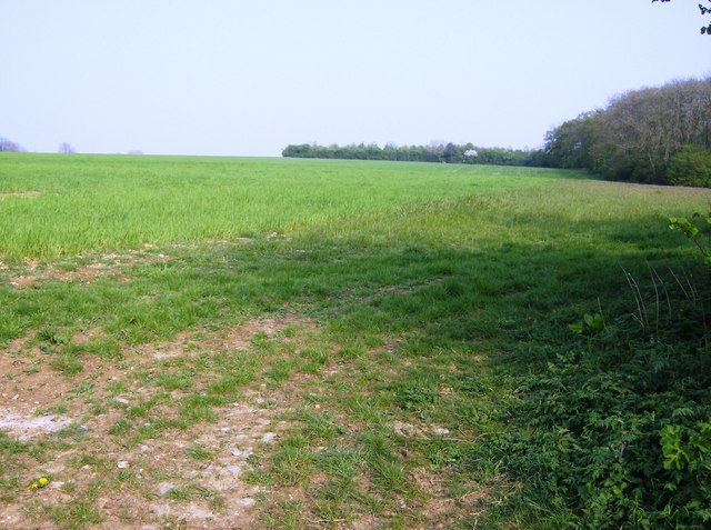
Chalkhill Wood is a picturesque forest located in the county of Gloucestershire, England. Spread over an area of approximately 200 acres, this woodland is known for its diverse range of flora and fauna, as well as its tranquil and serene atmosphere.

The forest is predominantly composed of deciduous trees, including oak, beech, and ash, which provide a stunning canopy of greenery throughout the year. These trees create a habitat for a variety of wildlife, such as deer, foxes, badgers, and a wide array of bird species. Nature enthusiasts and birdwatchers often visit Chalkhill Wood in hopes of catching a glimpse of these beautiful creatures.

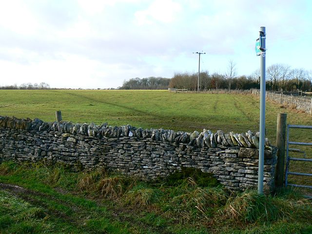
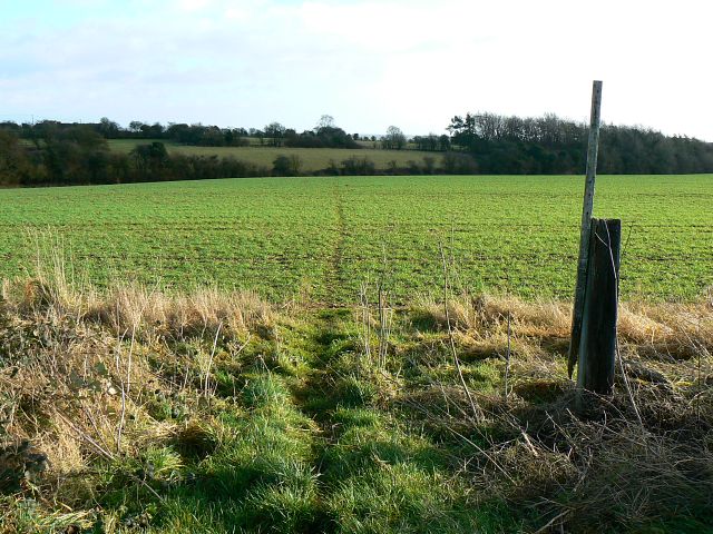
With its well-maintained footpaths and trails, Chalkhill Wood is a popular destination for walkers, hikers, and cyclists. Visitors can explore the forest on foot, taking in the fresh air and immersing themselves in the natural beauty of the surroundings. The wood is also home to a number of picnic areas, making it an ideal spot for families and groups to enjoy a day out in nature.

Chalkhill Wood is managed by the Forestry Commission, ensuring the preservation and conservation of the woodland. The commission organizes regular maintenance activities, such as tree planting and woodland management, to protect the ecosystem and enhance the natural beauty of the area.

Overall, Chalkhill Wood offers a peaceful retreat from the hustle and bustle of everyday life, inviting visitors to connect with nature and experience the tranquility of a true English woodland. Whether it's a leisurely stroll, a picnic, or wildlife spotting, this forest has something to offer for everyone.

If you have any feedback on the listing, please let us know in the comments section below.

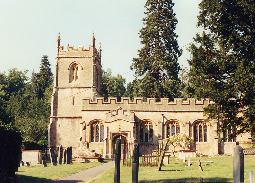
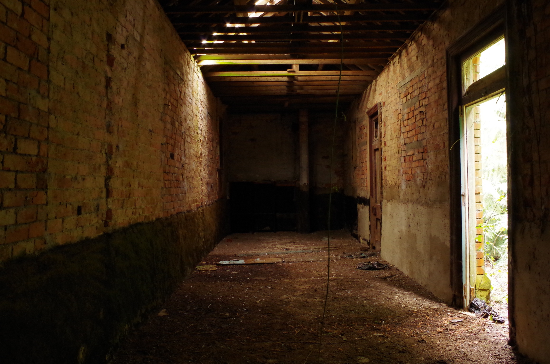
Chalkhill Wood Images

Images are sourced within 2km of 51.780984/-1.9457252 or Grid Reference SP0309. Thanks to Geograph Open Source API. All images are credited.

Road junction near Rendcomb
Cottages by lane to Chittlegrove
Track to the cottage at Ashwell Lodge.
Towards Newman's Covert An area of flat arable land at the north western part of this square, just cut by a footpath.  The woodland on the right is Newman's Covert.
Towards Newman's Covert
An area of flat arable land at the north western part of this square, just cut by a footpath. The woodland on the right is Newman's Covert.
Permissive path near Chittlegrove This is a section of track that for about 200 yards is not technically a right of way.  The footpath goes across the field on the other side of the wall.  However, everyone follows this clear track; most people are probably completely unaware that they have left the footpath.  An example of where a path diversion should be applied for to bring the legal route in line with practical route?
Permissive path near Chittlegrove
This is a section of track that for about 200 yards is not technically a right of way. The footpath goes across the field on the other side of the wall. However, everyone follows this clear track; most people are probably completely unaware that they have left the footpath. An example of where a path diversion should be applied for to bring the legal route in line with practical route?
Field south of Chittlegrove A large field of wheat south of Chittlegrove, from the byway running across the southern part of the square.  Chittlegrove (a farm) can be seen on the right horizon.  The line of trees is on the north-south road called White Way.
Field south of Chittlegrove
A large field of wheat south of Chittlegrove, from the byway running across the southern part of the square. Chittlegrove (a farm) can be seen on the right horizon. The line of trees is on the north-south road called White Way.
Scots pines on the White Way This is the White Way, a minor Roman road from Cirencester to Chedworth villa.  Yes, apparently even the Romans had "B" roads.  The pines are an interest in an otherwise very flat landscape.
Scots pines on the White Way
This is the White Way, a minor Roman road from Cirencester to Chedworth villa. Yes, apparently even the Romans had "B" roads. The pines are an interest in an otherwise very flat landscape.
Green Meadow Farm The name is fairly apt, but it is a wheat field not a meadow.  Looking north west from the minor road between Rendcomb and the White Way.  At the trees the land falls away rapidly into a minor north-south valley.
Green Meadow Farm
The name is fairly apt, but it is a wheat field not a meadow. Looking north west from the minor road between Rendcomb and the White Way. At the trees the land falls away rapidly into a minor north-south valley.
Monarch's Way, near Chedworth The Monarch's Way crosses the north/south road at this point. It joins the MacMillan Way in SP0310 south-west of here. In this west facing view the Way is a bridleway.
Monarch's Way, near Chedworth
The Monarch's Way crosses the north/south road at this point. It joins the MacMillan Way in SP0310 south-west of here. In this west facing view the Way is a bridleway.
Monarch's Way, near Chedworth The Monarch's Way long distance path heads east from the viewpoint towards the edge of the square. In this view it is a footpath not a bridleway.
Monarch's Way, near Chedworth
The Monarch's Way long distance path heads east from the viewpoint towards the edge of the square. In this view it is a footpath not a bridleway.
Green Meadow Farm.
Green Meadow Farm.
Farm track, Rendcomb The Macmillan Way to the east of Chittlegrove.
Farm track, Rendcomb
The Macmillan Way to the east of Chittlegrove.
Newman's Covert, Chedworth A private track leading to the copse from the Macmillan Way beside arable fields.
Newman's Covert, Chedworth
A private track leading to the copse from the Macmillan Way beside arable fields.
Valley at Rendcomb View across a valley to the east of Rendcomb towards Green Meadow Farm which can be seen on the other side of the valley.
Valley at Rendcomb
View across a valley to the east of Rendcomb towards Green Meadow Farm which can be seen on the other side of the valley.
Road between Calmsden and Pinkwell Looking northward.
Road between Calmsden and Pinkwell
Looking northward.
Rendcomb Village Village street in Rendcomb, looking south-west.
Rendcomb Village
Village street in Rendcomb, looking south-west.
Rendcomb Airfield Rendcomb airfield, looking east from the White Way. This grass strip was opened in 1914 and only used during WW1. The airfield was a training base with up to 3000 people being billeted there.
Rendcomb Airfield
Rendcomb airfield, looking east from the White Way. This grass strip was opened in 1914 and only used during WW1. The airfield was a training base with up to 3000 people being billeted there.
Old Railway track near Foss Cross This is the old line on the M&SWJ from Cirencester to Andoversford.
Old Railway track near Foss Cross
This is the old line on the M&SWJ from Cirencester to Andoversford.
Show me another place!

Chalkhill Wood is located at Grid Ref: SP0309 (Lat: 51.780984, Lng: -1.9457252)

Administrative County: Gloucestershire

District: Cotswold

Police Authority: Gloucestershire

What 3 Words

///spotted.ending.reset. Near Stratton, Gloucestershire

Nearby Locations

Chalkhill Wood

Related Wikis

Foss Cross Quarry

Foss Cross Quarry (grid reference SP056092) is a 0.67-hectare (1.7-acre) geological Site of Special Scientific Interest in Gloucestershire, notified in...

Rendcomb

Rendcomb is a village in the Cotswold local authority area of the English county of Gloucestershire. It is about five miles north of Cirencester in the...

Church of St Peter, Rendcomb

The Anglican Church of St Peter within the grounds of Rendcomb College at Rendcomb in the Cotswold District of Gloucestershire, England was rebuilt in...

North Cerney

North Cerney is a village and civil parish in the English county of Gloucestershire, and lies within the Cotswolds, a range of hills designated an Area...

Rendcomb College

Rendcomb College is a public school (English private boarding and day school) for pupils aged 3–18, located in the village of Rendcomb five miles north...

Foss Cross railway station

Foss Cross railway station was on the Midland and South Western Junction Railway in Gloucestershire. The station opened on 1 August 1891 with the section...

Chedworth Halt railway station

Chedworth Halt railway station was on the Midland and South Western Junction Railway in Gloucestershire. The station opened on 1 October 1892, 14 months...

Stony Furlong Railway Cutting

Stony Furlong Railway Cutting (grid reference SP063106) is a 2.7-hectare (6.7-acre) geological Site of Special Scientific Interest in Gloucestershire,...

Nearby Amenities

Located within 500m of 51.780984,-1.9457252
Natural: spring
Source: OS 1:25k
Lat/Long: 51.7837189/-1.9454387
Rendcomb Airfield
Aeroway: aerodrome
Alt Name: RFC Rendcombe
Lat/Long: 51.7826021/-1.9519335
The data included in this document is from www.openstreetmap.org. The data is made available under ODbL.

Have you been to Chalkhill Wood?

Leave your review of Chalkhill Wood below (or comments, questions and feedback).