Blithfield Gorse
Wood, Forest in Staffordshire Lichfield
England
Blithfield Gorse
Blithfield Gorse is a beautiful woodland area located in Staffordshire, England. Covering an expansive area, it is nestled within the picturesque countryside, offering visitors a serene and tranquil escape from the bustling city life. The gorse, a type of evergreen shrub with vibrant yellow flowers, dominates the landscape, giving the woodland its distinctive name.
The woodland is home to a rich variety of flora and fauna, with a diverse range of trees including oak, birch, and beech. The dense foliage provides a habitat for numerous species of birds, such as woodpeckers, thrushes, and finches, making it a haven for birdwatchers and nature enthusiasts. The forest floor is carpeted with a myriad of wildflowers, adding bursts of color to the surroundings.
Blithfield Gorse offers a network of well-maintained walking trails, allowing visitors to explore the woodland at their own pace. These trails cater to different levels of difficulty, making it accessible to all ages and abilities. The forest also boasts a picnic area, where visitors can relax and enjoy a meal amidst the tranquil ambiance.
The woodland is managed by a team of dedicated conservationists who work tirelessly to preserve its natural beauty. They organize educational programs and events to raise awareness about the importance of protecting the local ecosystem. Blithfield Gorse is also part of a wider nature reserve, contributing to the overall conservation efforts in the area.
Overall, Blithfield Gorse is a haven for nature lovers and outdoor enthusiasts, offering a unique opportunity to immerse oneself in the beauty of Staffordshire's woodlands. Whether it's a leisurely walk or a birdwatching adventure, visitors are sure to find solace and wonder in this enchanting forest.
If you have any feedback on the listing, please let us know in the comments section below.
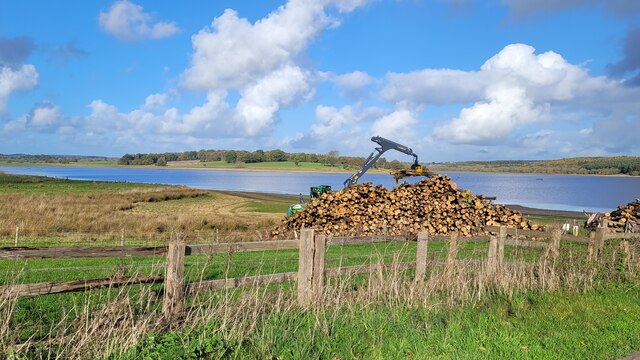
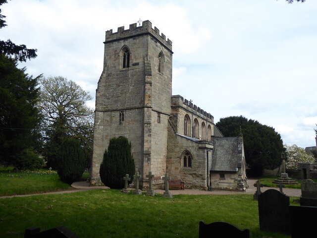
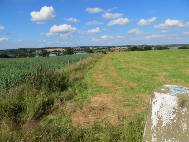
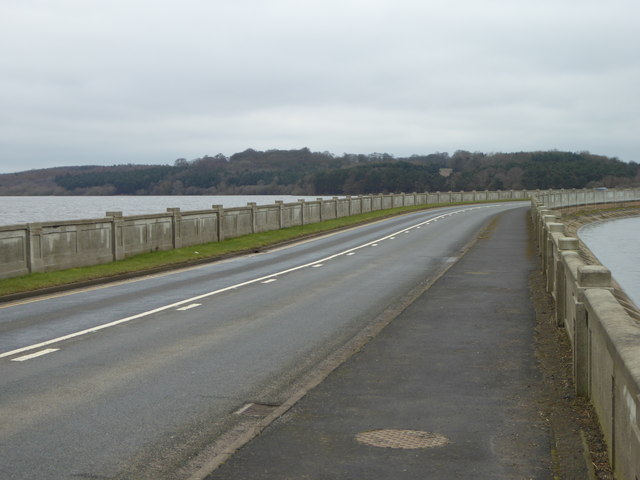
Blithfield Gorse Images
Images are sourced within 2km of 52.803777/-1.9451046 or Grid Reference SK0322. Thanks to Geograph Open Source API. All images are credited.


![The old Farmhouse at Moreton Farm [Rear] This old Farmhouse has been empty for many years. It was owned by the Tabernor family until the 1970&#039;s when it was sold to a property developer, all the other buildings have been developed and this old Farmhouse is due for demolition in the near future. <a title="https://www.geograph.org.uk/photo/4756998" href="https://www.geograph.org.uk/photo/4756998">Link</a>](https://s2.geograph.org.uk/geophotos/04/75/95/4759526_545238dc.jpg)


Blithfield Gorse is located at Grid Ref: SK0322 (Lat: 52.803777, Lng: -1.9451046)
Administrative County: Staffordshire
District: Lichfield
Police Authority: Staffordshire
What 3 Words
///goose.explains.magnets. Near Colwich, Staffordshire
Nearby Locations
Related Wikis

Blithfield Hall
Blithfield Hall (pronounced locally as Bliffield), is a privately owned Grade I listed country house in Staffordshire, England, situated some 9 miles...

Admaston, Staffordshire
Admaston is a small hamlet in Staffordshire, England just outside the town of Rugeley near to Abbots Bromley and Blithfield Hall.The name Admaston is derived...
Blithfield
Blithfield is a civil parish in the East Staffordshire district of Staffordshire, England. It includes the settlements of Admaston (a small hamlet in Staffordshire...

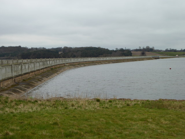
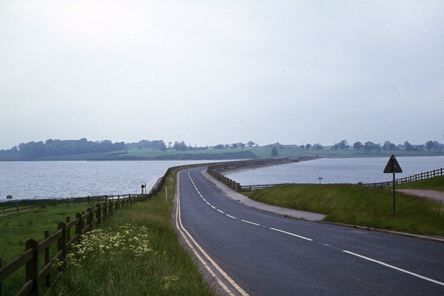
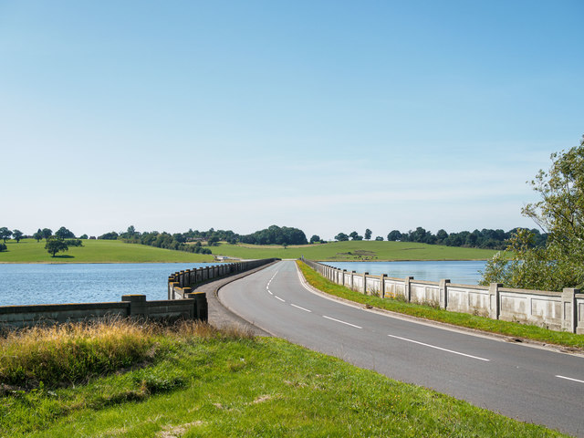
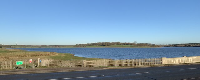
Blithfield Reservoir
Blithfield Reservoir is a large raw water reservoir in Staffordshire, England, owned by South Staffordshire Water. Some 800 acres (324 hectares) of reservoir...
Colwich Junction
Colwich Junction is a rail junction near the village of Little Haywood, in the county of Staffordshire, England. It is the junction between two routes...

Wolseley Hall
Wolseley Hall was a stately home near the village of Colwich, in Staffordshire, England. It was demolished in 1966; the former gardens are now a nature...
Wolseley Centre
The Wolseley Centre is a visitor centre and nature reserve of the Staffordshire Wildlife Trust, in Staffordshire, England, about 2 miles (3 km) north-west...
Colton, Staffordshire
Colton is a village and civil parish in Lichfield District, Staffordshire, England. It is situated just outside the town of Rugeley off the B5013 road...
Nearby Amenities
Located within 500m of 52.803777,-1.9451046Have you been to Blithfield Gorse?
Leave your review of Blithfield Gorse below (or comments, questions and feedback).