Calmsden Gorse
Wood, Forest in Gloucestershire Cotswold
England
Calmsden Gorse

Calmsden Gorse is a picturesque woodland located in the county of Gloucestershire, England. Situated near the village of Calmsden, this forested area covers a substantial expanse of land measuring approximately 500 acres.
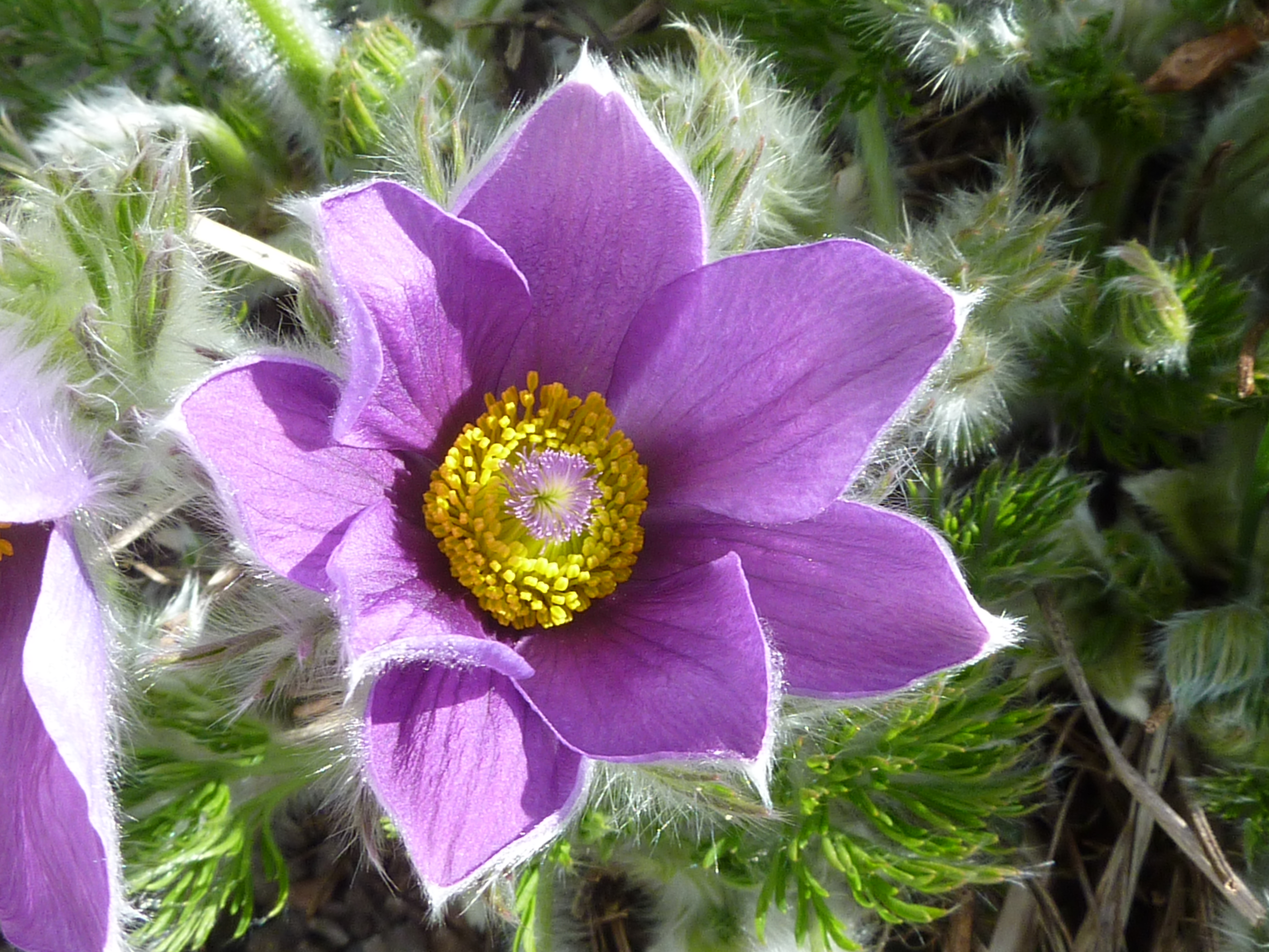
The woodland is predominantly made up of a mix of broadleaf and coniferous trees, creating a diverse and lush environment. Towering oak, beech, and ash trees dominate the landscape, providing a dense canopy that shields the forest floor from direct sunlight. The understory is adorned with an array of wildflowers, ferns, and mosses, adding vibrant colors to the green surroundings.
Calmsden Gorse is home to a variety of wildlife, including numerous bird species such as woodpeckers, owls, and finches. Mammals such as deer, foxes, and badgers can also be found within the forest, while small creatures like squirrels and rabbits scurry amongst the undergrowth.
The woodland offers a range of walking trails, allowing visitors to explore its natural beauty at their own pace. As one traverses the paths, they may come across babbling brooks and small streams, adding a tranquil element to the overall experience.
Calmsden Gorse is a popular destination for nature enthusiasts and outdoor enthusiasts alike. Its serene atmosphere, abundant wildlife, and stunning scenery make it an ideal location for hiking, birdwatching, and photography. The forest provides a welcome escape from the hustle and bustle of daily life, offering visitors a chance to reconnect with nature and enjoy the peaceful surroundings.
If you have any feedback on the listing, please let us know in the comments section below.
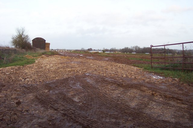
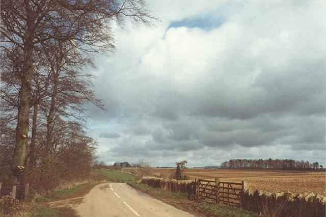
Calmsden Gorse Images
Images are sourced within 2km of 51.767102/-1.9465243 or Grid Reference SP0307. Thanks to Geograph Open Source API. All images are credited.


Calmsden Gorse is located at Grid Ref: SP0307 (Lat: 51.767102, Lng: -1.9465243)
Administrative County: Gloucestershire
District: Cotswold
Police Authority: Gloucestershire
What 3 Words
///regime.describe.loudness. Near Stratton, Gloucestershire
Nearby Locations
Related Wikis

North Cerney
North Cerney is a village and civil parish in the English county of Gloucestershire, and lies within the Cotswolds, a range of hills designated an Area...
Barnsley Warren
Barnsley Warren (grid reference SP055064) is a 61.3-hectare (151-acre) biological Site of Special Scientific Interest in Gloucestershire, notified in 1954...

Foss Cross Quarry
Foss Cross Quarry (grid reference SP056092) is a 0.67-hectare (1.7-acre) geological Site of Special Scientific Interest in Gloucestershire, notified in...
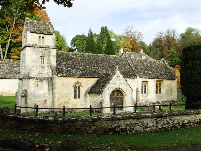
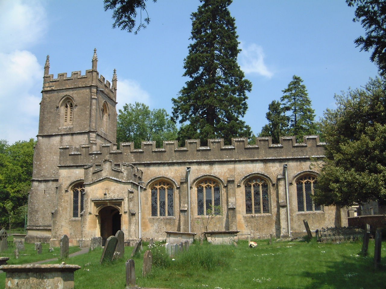
Church of St Margaret, Bagendon
The Anglican Church of St Margaret at Bagendon in the Cotswold District of Gloucestershire, England was built in the 12th century. It is a grade I listed...
Rendcomb
Rendcomb is a village in the Cotswold local authority area of the English county of Gloucestershire. It is about five miles north of Cirencester in the...
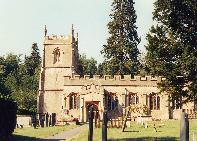
Church of St Peter, Rendcomb
The Anglican Church of St Peter within the grounds of Rendcomb College at Rendcomb in the Cotswold District of Gloucestershire, England was rebuilt in...
Bagendon
Bagendon is a village and civil parish in the Cotswold district of Gloucestershire, England, about four miles north of Cirencester. According to the 2001...
Rendcomb College
Rendcomb College is a public school (English private boarding and day school) for pupils aged 3–18, located in the village of Rendcomb five miles north...
Nearby Amenities
Located within 500m of 51.767102,-1.9465243Have you been to Calmsden Gorse?
Leave your review of Calmsden Gorse below (or comments, questions and feedback).