Long Wood

Wood, Forest in Northumberland

England

Long Wood

Watch Hill Road Junction on Lead Road Watch Hill is the pine wooded Hill visible to the south.
Watch Hill Road Junction on Lead Road Credit: Clive Nicholson

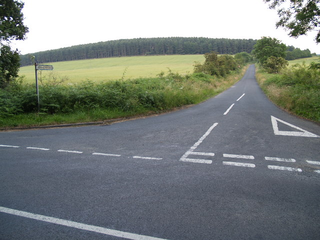
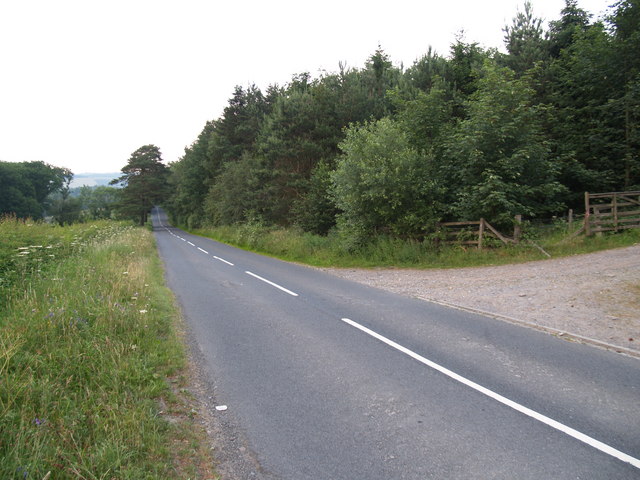
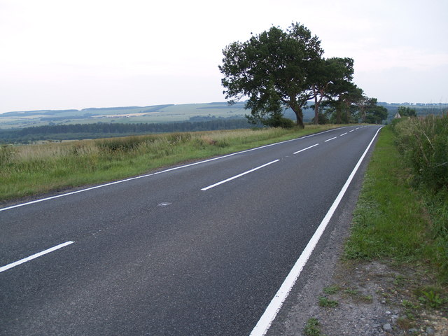
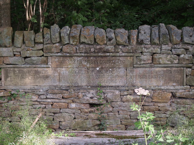
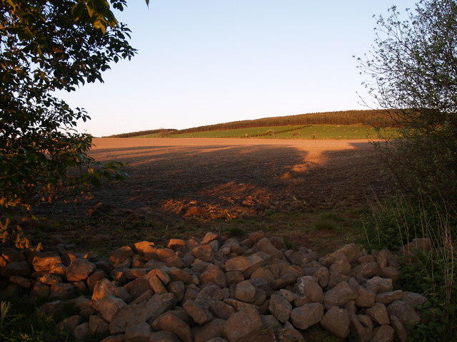
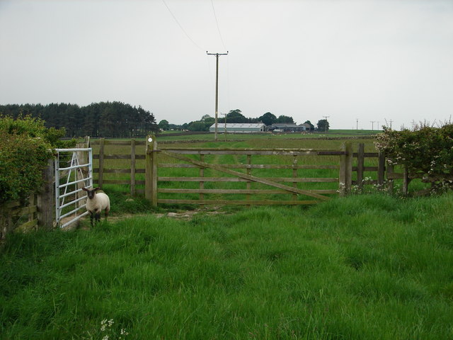
Long Wood is a sprawling forest located in the county of Northumberland, England. Covering an impressive area of approximately 500 hectares, it is one of the largest woodlands in the region. The forest is situated between the villages of Longhoughton and Boulmer, just a few miles inland from the picturesque Northumberland coastline.

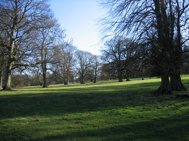
Long Wood boasts a diverse range of tree species, including oak, beech, ash, and pine, creating a rich and vibrant ecosystem. The woodland floor is adorned with a variety of wildflowers, ferns, and mosses, providing a haven for numerous species of flora and fauna. The forest is also home to a wide array of bird species, making it a popular destination for birdwatchers and nature enthusiasts.

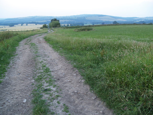
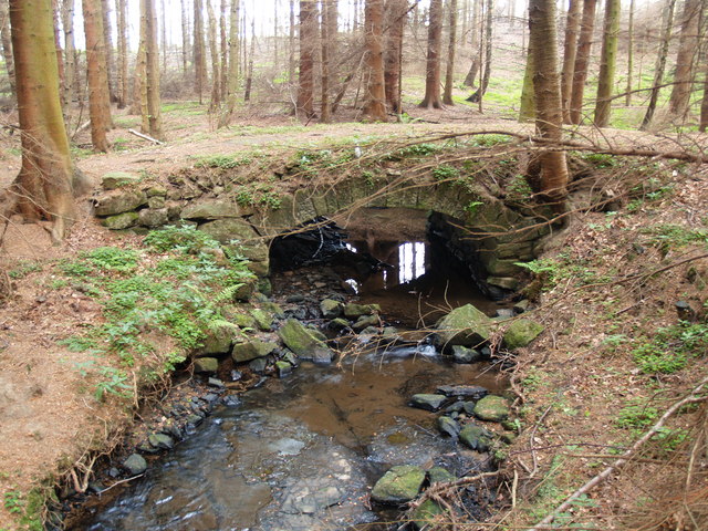
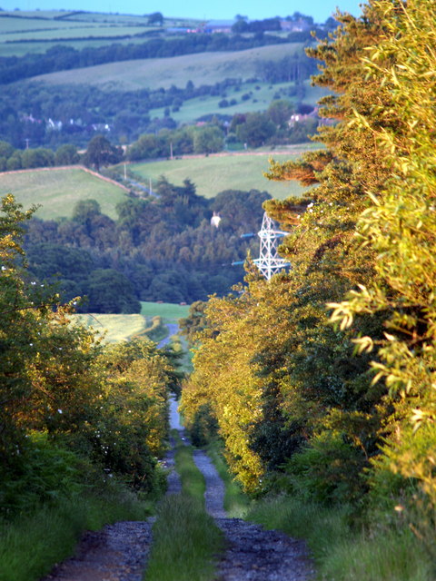
Visitors to Long Wood can explore the forest via a network of well-maintained trails and footpaths. These paths wind through the woods, offering scenic views and opportunities to spot wildlife along the way. The forest is also intersected by a small river, which adds to its natural charm and provides a tranquil setting for picnickers or those seeking a moment of solitude.

Long Wood is managed by the local forestry commission, ensuring its protection and preservation for future generations. The forest is open to the public year-round, with ample parking and facilities available for visitors. Whether it's a leisurely stroll, a family outing, or an immersive nature experience, Long Wood offers something for everyone to enjoy in the heart of Northumberland.

If you have any feedback on the listing, please let us know in the comments section below.

Long Wood Images

Images are sourced within 2km of 54.908053/-1.9439463 or Grid Reference NZ0357. Thanks to Geograph Open Source API. All images are credited.

Watch Hill Road Junction on Lead Road Watch Hill is the pine wooded Hill visible to the south.
Watch Hill Road Junction on Lead Road
Watch Hill is the pine wooded Hill visible to the south.
Looking East on the Lead Road
North Eastern entrance to Minsteracres Estate A passionist Monastery and retreat.
North Eastern entrance to Minsteracres Estate
A passionist Monastery and retreat.
A68 at Fotherley Looking south on the A68 at Fotherley
A68 at Fotherley
Looking south on the A68 at Fotherley
Byway near Broomley Byway near Broomley which joins the A68 and B6309.
Byway near Broomley
Byway near Broomley which joins the A68 and B6309.
Inscription at Watch Hill road junction The whole inscription reads:-

For Friends in Council

“It is good in conversation: to vary speech of present occasion: with experience of the past: fact with argument: tales with reason: question with opinion: jest with earnest: but tiresome to press discourse too far:”

1901
Inscription at Watch Hill road junction
The whole inscription reads:- For Friends in Council “It is good in conversation: to vary speech of present occasion: with experience of the past: fact with argument: tales with reason: question with opinion: jest with earnest: but tiresome to press discourse too far:” 1901
The old post office, Kiln Pit Hill In these days when rural post offices in even quite large villages are under threat of closure, it is incredible to think that this house was once occupied by a post office which served this tiny community of no more than a dozen houses and some outlying farms.
The old post office, Kiln Pit Hill
In these days when rural post offices in even quite large villages are under threat of closure, it is incredible to think that this house was once occupied by a post office which served this tiny community of no more than a dozen houses and some outlying farms.
The grounds of Minsteracres Monastery
Farmland at Fairley
Farmland at Fairley
Fotherley Love High Fotherley Farm in the distance and a little lost lamb from the field to the left waiting for a kindly geographer to open the gate!
Fotherley Love
High Fotherley Farm in the distance and a little lost lamb from the field to the left waiting for a kindly geographer to open the gate!
Old Bridge An old bridge in woodland on the track in the North West corner of this square.
Old Bridge
An old bridge in woodland on the track in the North West corner of this square.
Wheelbirks Lane This is a straight lane that is a public byway that which joins the A68 and B6309.
Wheelbirks Lane
This is a straight lane that is a public byway that which joins the A68 and B6309.
Wheelbirks Farm As featured on Tyne Tees programme "Dale's Diary", December 2007
Wheelbirks Farm
As featured on Tyne Tees programme "Dale's Diary", December 2007
Sunlight through the pines The plantation south of the minor road to Healey.
Sunlight through the pines
The plantation south of the minor road to Healey.
Minsteracres Monastery from Barley Hill Plantation
Footpath from Fell Road to Highfield Farm Lane For some reason the location of the path does not match the Ordnance Survey map. The OS dotted line marks the location probably before the Open cast mining of the 1970s.
Footpath from Fell Road to Highfield Farm Lane
For some reason the location of the path does not match the Ordnance Survey map. The OS dotted line marks the location probably before the Open cast mining of the 1970s.
Looking down to Castle Hill from next to Watch Hill
Lead Lane Local people refer to this piece of the Lead road, between Apperley Dene and Scales Cross, as the Two Bridges Road.
Lead Lane
Local people refer to this piece of the Lead road, between Apperley Dene and Scales Cross, as the Two Bridges Road.
Show me another place!

Long Wood is located at Grid Ref: NZ0357 (Lat: 54.908053, Lng: -1.9439463)

Unitary Authority: Northumberland

Police Authority: Northumbria

What 3 Words

///rejoin.populate.loudness. Near Healey, Northumberland

Related Wikis

Minsteracres

Minsteracres is an 18th-century mansion house, now a Christian retreat centre, in Northumberland, England. It is a Grade II listed building.The house was...

St Andrew's Church, Shotley

St Andrew's Church, Shotley, is a redundant Anglican church standing in an isolated position at a height of 960 feet (293 m) on Greymare Hill in Northumberland...

Apperley Dene

Apperley Dene is a hamlet in Stocksfield parish, Northumberland, England. It is situated south of the River Tyne between Hexham and Newcastle upon Tyne...

Hindley, Northumberland

Hindley is a small hamlet, comprising around 20 residences. It is in the parish of Stocksfield and is just to the south of Stocksfield in Northumberland...

Healey, Northumberland

Healey is a rural estate and civil parish in Northumberland, England, situated between Riding Mill to the north and Slaley to the south. The neo-Norman...

New Ridley

New Ridley is a hamlet in the county of Northumberland, England. It is in the parish of Stocksfield and the parliamentary constituency of Hexham. It is...

Broomley

Broomley is a village in the civil parish of Stocksfield, in Northumberland, England. It is situated between Hexham and Newcastle upon Tyne, to the south...

Painshawfield Estate

The Painshawfield, Batt House and Birches Nook Estate is a housing estate in the village of Stocksfield in Northumberland, England. It is commonly known...

Have you been to Long Wood?

Leave your review of Long Wood below (or comments, questions and feedback).