Valehouse Wood
Wood, Forest in Cheshire High Peak
England
Valehouse Wood
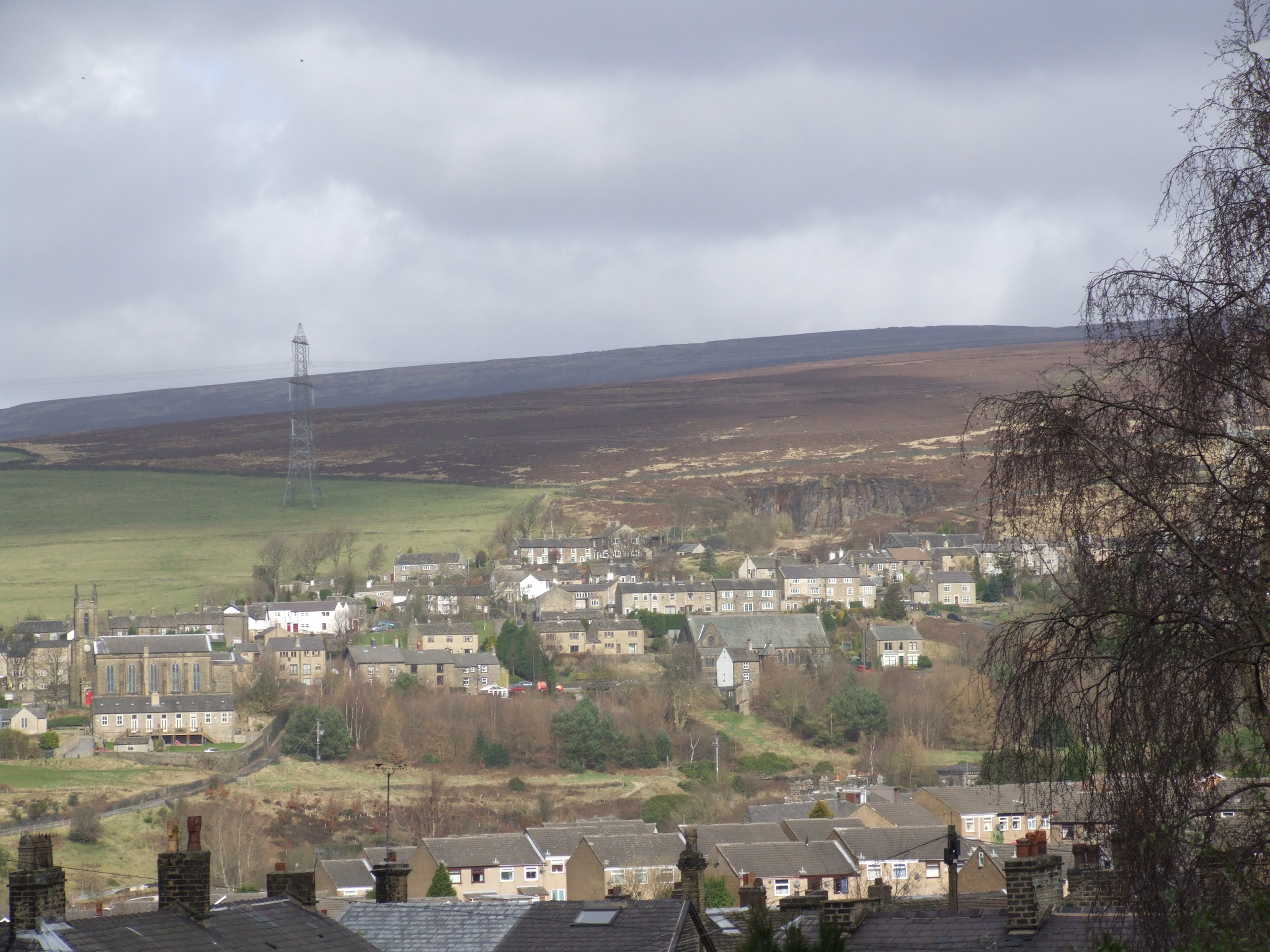
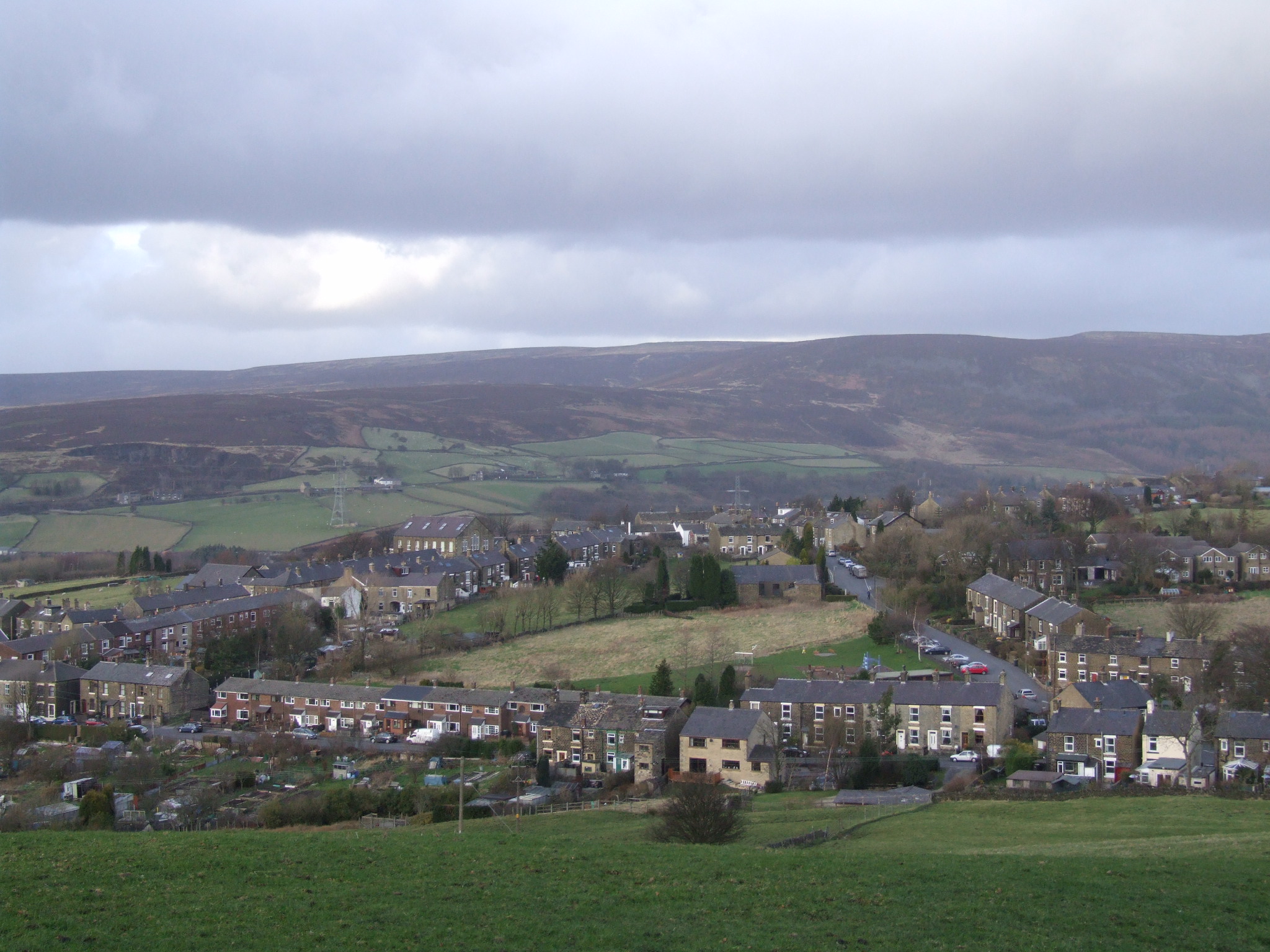
Valehouse Wood is a picturesque woodland located in the county of Cheshire, England. Situated near the village of Disley, this forested area covers an expanse of approximately 160 acres. It is primarily composed of deciduous trees such as oak, beech, and birch, which provide a rich and diverse habitat for a variety of flora and fauna.
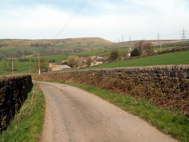
The woodland is known for its tranquil and serene atmosphere, attracting nature enthusiasts and hikers alike. A network of well-maintained walking trails winds through the forest, offering visitors the opportunity to explore its beauty at their own pace. These pathways lead to scenic viewpoints, hidden glades, and peaceful meadows, providing a sense of escape from the bustling city life.
Valehouse Wood is also home to a wide range of wildlife. Birdwatchers can spot species such as woodpeckers, nuthatches, and various songbirds, while the forest floor is inhabited by small mammals like squirrels, rabbits, and foxes. The wood's diverse ecosystem also supports a rich variety of plant life, including bluebells, wild garlic, and ferns, which add to its natural charm.
The wood is managed by the Cheshire Wildlife Trust, ensuring its preservation and protection for future generations. It serves as an important educational resource, with guided nature walks and informative displays available to visitors. Additionally, the Trust organizes various events and workshops throughout the year, allowing individuals to learn more about the wood's ecology and conservation.
Overall, Valehouse Wood provides a peaceful and enchanting escape into nature, offering a haven for wildlife and a place of relaxation and discovery for all who visit.
If you have any feedback on the listing, please let us know in the comments section below.
Valehouse Wood Images
Images are sourced within 2km of 53.477797/-1.949245 or Grid Reference SK0397. Thanks to Geograph Open Source API. All images are credited.


Valehouse Wood is located at Grid Ref: SK0397 (Lat: 53.477797, Lng: -1.949245)
Administrative County: Derbyshire
District: High Peak
Police Authority: Derbyshire
What 3 Words
///courts.boom.riding. Near Hollingworth, Manchester
Nearby Locations
Related Wikis

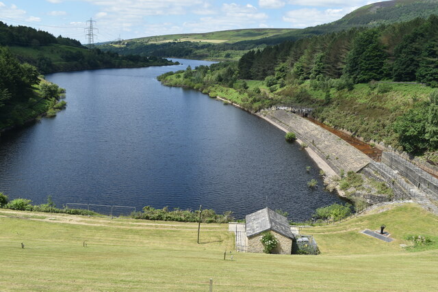
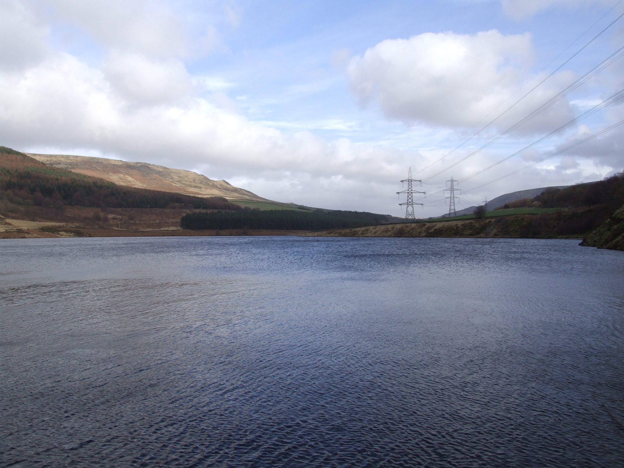
Valehouse Reservoir
Valehouse (or Vale House) Reservoir is a man-made lake in Longdendale in north Derbyshire, England. It was built between 1865 and 1869 as part of the...

Bottoms Reservoir (Derbyshire)
Bottoms Reservoir is a man-made lake in Longdendale in north Derbyshire, England. It was constructed between 1865 and 1877, by John Frederick Bateman as...
Rhodeswood Reservoir
Rhodeswood Reservoir is a man-made lake in Longdendale in north Derbyshire, England. It was constructed by John Frederick Bateman between 1849 and June...

Tintwistle Rural District
Tintwistle Rural District was a local government district in north east Cheshire, England from 1894 to 1974.It was created a rural district by the Local...
Tintwistle
Tintwistle ( TIN-səl) is a village and civil parish in the High Peak district of Derbyshire, England, which had a population of 1,400 at the 2011 census...
Arnfield
Arnfield is an area of Derbyshire, England. It is located on the north side of Tintwistle (where the population is included), adjacent to the Arnfield...

Brosscroft
Peter Street and Brosscroft is an area in Derbyshire, England. It is part of Hadfield (where the population can be found), located on the north-east side...
Padfield
Padfield is a small village near Hadfield in High Peak, Derbyshire, England. The village is on the west side of the Peak District National Park, and the...
Nearby Amenities
Located within 500m of 53.477797,-1.949245Have you been to Valehouse Wood?
Leave your review of Valehouse Wood below (or comments, questions and feedback).