Cuerden Green
Settlement in Lancashire South Ribble
England
Cuerden Green

Cuerden Green is a small village located in the county of Lancashire, in the North West of England. Situated approximately 5 miles south of the city of Preston, Cuerden Green is known for its picturesque rural setting and close proximity to the beautiful countryside of the Ribble Valley.
The village is primarily residential, with a small population of around 500 people. It is characterized by its charming cottages and traditional architecture, giving it a quaint and peaceful atmosphere. The village is surrounded by lush green fields and rolling hills, offering residents and visitors a peaceful retreat from the hustle and bustle of nearby urban areas.
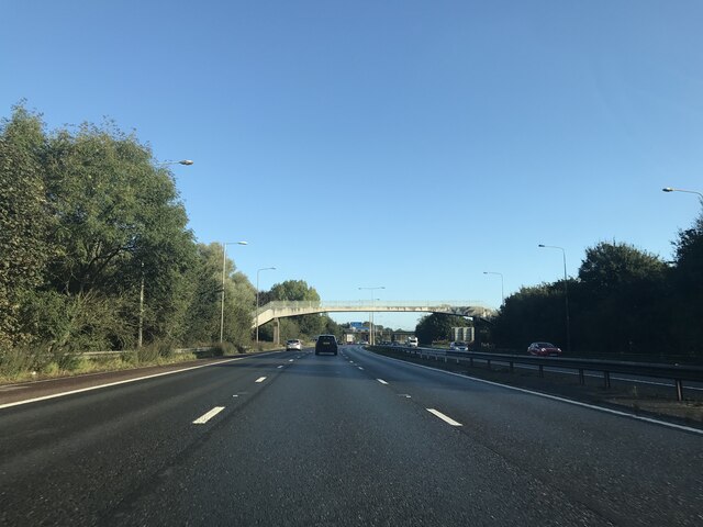
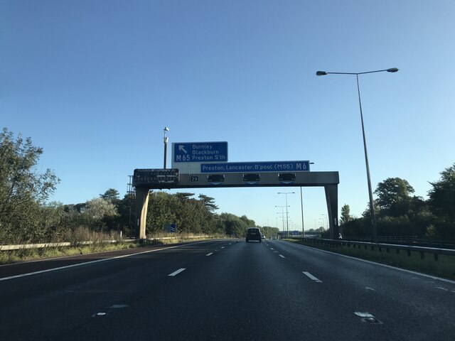
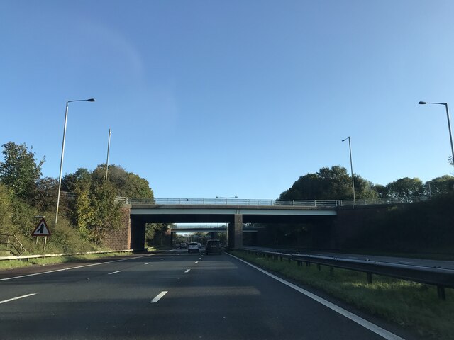
Cuerden Green is well-connected to the wider region by road, with the A49 and M65 motorway just a short drive away, providing easy access to Preston, Manchester, and other major cities in the North West. The village also benefits from excellent public transportation links, with regular bus services connecting it to nearby towns and villages.
The village is home to a few local amenities, including a village hall and a primary school, providing essential services for the community. Additionally, there are several pubs and eateries in the surrounding area, offering a range of dining options for residents and visitors.
Overall, Cuerden Green is a charming village that offers a peaceful and idyllic lifestyle in the heart of Lancashire's countryside. Its beautiful surroundings and convenient location make it an attractive place to live for those seeking a rural retreat with easy access to urban amenities.
If you have any feedback on the listing, please let us know in the comments section below.
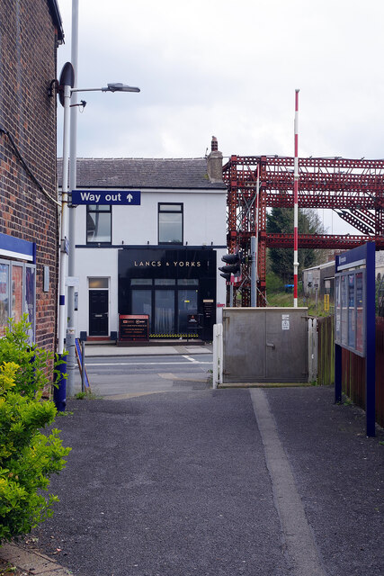
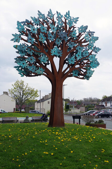
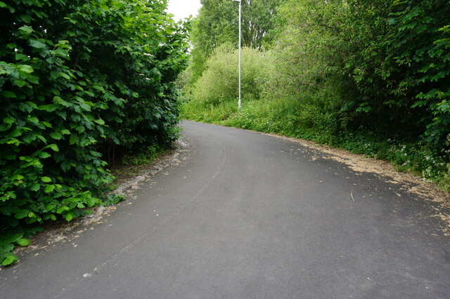
Cuerden Green Images
Images are sourced within 2km of 53.716878/-2.681487 or Grid Reference SD5524. Thanks to Geograph Open Source API. All images are credited.


Cuerden Green is located at Grid Ref: SD5524 (Lat: 53.716878, Lng: -2.681487)
Administrative County: Lancashire
District: South Ribble
Police Authority: Lancashire
What 3 Words
///today.wake.crowd. Near Leyland, Lancashire
Nearby Locations
Related Wikis
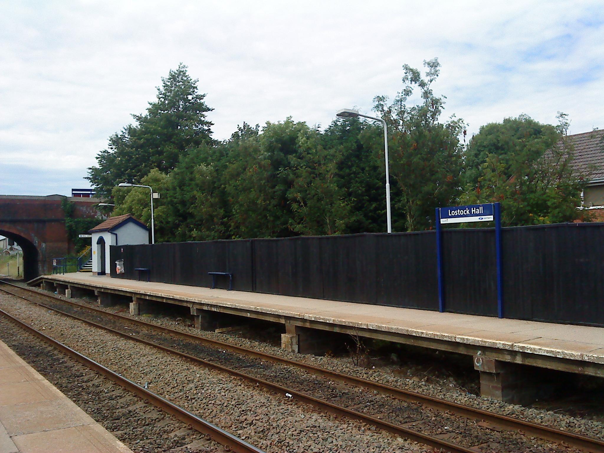
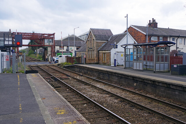
Lostock Hall railway station
Lostock Hall railway station is a railway station serving the village of Lostock Hall in the South Ribble borough of Lancashire, England. It is on the...

Lostock Hall
Lostock Hall is a suburban village within the South Ribble borough of Lancashire, England. It is located on the south side of the River Ribble, some...

South Ribble (UK Parliament constituency)
South Ribble is a constituency represented in the House of Commons of the UK Parliament since 2019 by Katherine Fletcher, a Conservative. == History... ==
Farington railway station
Farington railway station served Farington, south of Preston in Lancashire, England. == History == The station opened on 31 October 1838 under the ownership...

St Paul's Church, Farington
St Paul's Church is in the village of Farington Moss, Lancashire, England. It is an active Anglican parish church in the deanery of Leyland, the archdeaconry...

Bamber Bridge F.C.
Bamber Bridge Football Club is a football club based in Bamber Bridge, near Preston, Lancashire, England. They are currently members of the Northern Premier...
Blackburn Rovers W.F.C.
Blackburn Rovers Women Football Club is a women's football club based in Bamber Bridge, Lancashire, England, that competes in the Women’s Championship...

Battle of Bamber Bridge
The Battle of Bamber Bridge is the name given to an outbreak of racial violence involving American soldiers stationed in the village of Bamber Bridge,...
Nearby Amenities
Located within 500m of 53.716878,-2.681487Have you been to Cuerden Green?
Leave your review of Cuerden Green below (or comments, questions and feedback).